West Field

Downs, Moorland in Yorkshire Selby

England

West Field

Main Street, East Cottingwith Looking through he village of East Cottingwith located on the east banks of the River Derwent.
Main Street, East Cottingwith Credit: DS Pugh

West Field is a picturesque region located in the heart of Yorkshire, England. This captivating area is characterized by its rolling hills, vast downs, and expansive moorland, creating a diverse landscape that attracts visitors from near and far.

The downs of West Field offer breathtaking panoramic views, with gently undulating hills covered in lush green grasslands. These downs are perfect for leisurely walks or picnics, providing a peaceful and serene atmosphere for relaxation. The area is also home to a variety of wildlife, including rabbits, hares, and various bird species, making it a haven for nature enthusiasts.

Venturing into the moorland of West Field unveils a more rugged and untamed beauty. This vast expanse of wild terrain is adorned with heather and bracken, creating a stunning purple and green tapestry. The moorland is crisscrossed with meandering streams and dotted with rocky outcrops, adding to its charm. It offers a fantastic opportunity for hikers and outdoor enthusiasts to explore its numerous walking trails and discover hidden gems within the landscape.

West Field is also known for its rich history and heritage. The area is peppered with ancient archaeological sites, including burial mounds and stone circles, providing insight into the region's past. Visitors can immerse themselves in the captivating tales of West Field's history while exploring these fascinating landmarks.

Overall, West Field, Yorkshire, is a captivating region that offers a blend of natural beauty, tranquility, and historical significance. Whether one seeks adventure, relaxation, or a glimpse into the past, West Field promises a memorable experience for all who visit.

If you have any feedback on the listing, please let us know in the comments section below.
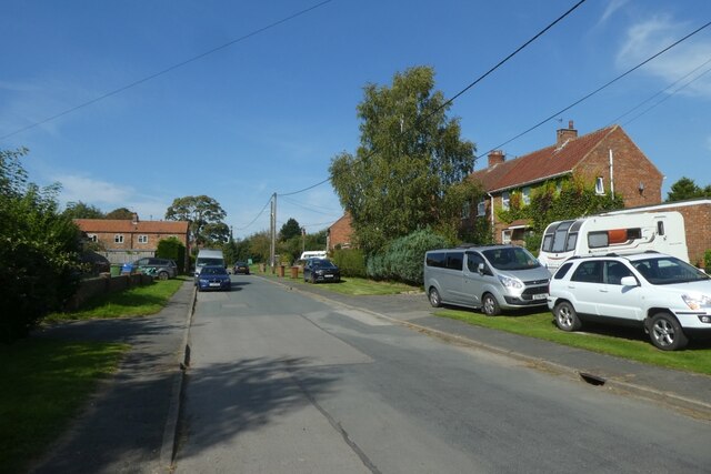
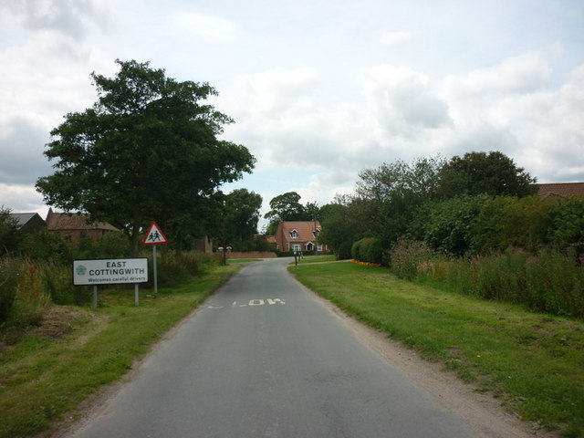
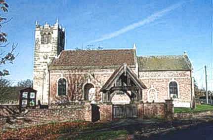
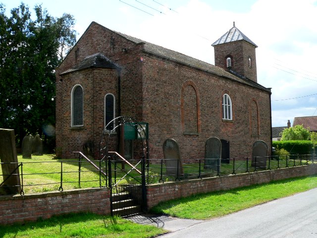
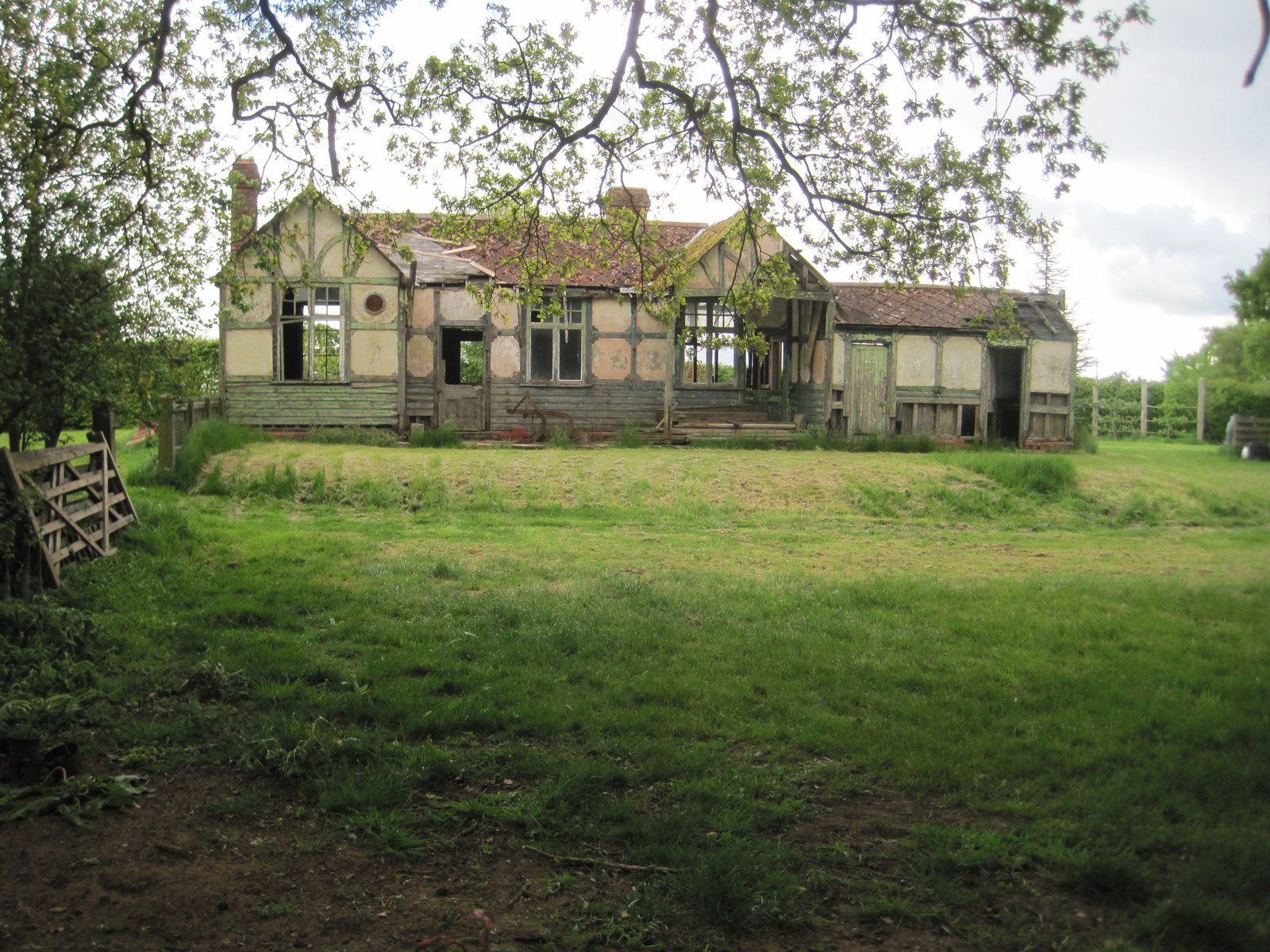
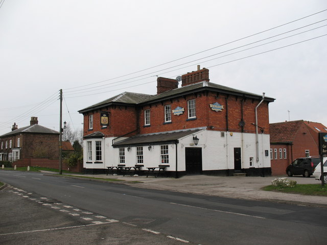
West Field Images

Images are sourced within 2km of 53.873205/-0.95379444 or Grid Reference SE6842. Thanks to Geograph Open Source API. All images are credited.

Main Street, East Cottingwith Looking through he village of East Cottingwith located on the east banks of the River Derwent.
Main Street, East Cottingwith
Looking through he village of East Cottingwith located on the east banks of the River Derwent.
Coronation Flag in East Cottingwith Looking along Main Street through the village on the east banks of the River Derwent.
Coronation Flag in East Cottingwith
Looking along Main Street through the village on the east banks of the River Derwent.
Manor Farm, East Cottingwith
St Mary's Church, East Cottingwith
Entering East Cottingwith, East Yorkshire
Main Street, East Cottingwith
Cows and calves in East Cottingwith From the edge of the bridleway to the confluence of the River Derwent and Pocklington Canal.
Cows and calves in East Cottingwith
From the edge of the bridleway to the confluence of the River Derwent and Pocklington Canal.
East Cottingwith Looking at the village of East Cottingwith near Ings Lane.
East Cottingwith
Looking at the village of East Cottingwith near Ings Lane.
Green Lane from Hag Lane Looking towards a house on Green Lane in East Cottingwith.
Green Lane from Hag Lane
Looking towards a house on Green Lane in East Cottingwith.
Broken tree A tree missing a large branch near East Cottingwith.
Broken tree
A tree missing a large branch near East Cottingwith.
Fields of barley Seen from Hag Lane.
Fields of barley
Seen from Hag Lane.
Pool at Wheldrake Ings View across the tranquil pool from YWT's Pool Hide. Birds present today included Green sandpipers, Little egret, female Shoveler duck, curlews, lapwing and a host of house martins.
Pool at Wheldrake Ings
View across the tranquil pool from YWT's Pool Hide. Birds present today included Green sandpipers, Little egret, female Shoveler duck, curlews, lapwing and a host of house martins.
View to Sutton Farm Across Wheldrake Pool, viewed from Yorkshire Wildlife Trust's Pool Hide. The lake borders have been recently trimmed back. <span class="nowrap"><a title="http://www.ywt.org.uk/reserves/wheldrake-ings-nature-reserve" rel="nofollow ugc noopener" href="http://www.ywt.org.uk/reserves/wheldrake-ings-nature-reserve">Link</a><img style="margin-left:2px;" alt="External link" title="External link - shift click to open in new window" src="https://s1.geograph.org.uk/img/external.png" width="10" height="10"/></span>
View to Sutton Farm
Across Wheldrake Pool, viewed from Yorkshire Wildlife Trust's Pool Hide. The lake borders have been recently trimmed back. LinkExternal link
Creaking windpump, Wheldrake Ings This makes the most dreadful, unearthly noise as it turns intermittently. My first thought was, a wounded animal, then a huge piece of farm machinery grinding into action. Could do with some oil in the mechanism.
Creaking windpump, Wheldrake Ings
This makes the most dreadful, unearthly noise as it turns intermittently. My first thought was, a wounded animal, then a huge piece of farm machinery grinding into action. Could do with some oil in the mechanism.
Comma on Burdock near Pool Hide Polygonia c-album - The raggedy edges of the Comma's wings make it look as if it has been nibbled. The brown undersides have a white mark like a comma, hence the name.
Comma on Burdock near Pool Hide
Polygonia c-album - The raggedy edges of the Comma's wings make it look as if it has been nibbled. The brown undersides have a white mark like a comma, hence the name.
Creaking, rusting wind pump See also <a href="https://www.geograph.org.uk/photo/4105069">SE7043 : Creaking windpump, Wheldrake Ings</a>
Creaking, rusting wind pump
Thorganby, St Helen's Church This Church is almost on the eastern boundary of the O/S grid it occupies, just to the north of centre.
Thorganby, St Helen's Church
This Church is almost on the eastern boundary of the O/S grid it occupies, just to the north of centre.
Track & Field North of Thicket Priory.
Track & Field
North of Thicket Priory.
Show me another place!

West Field is located at Grid Ref: SE6842 (Lat: 53.873205, Lng: -0.95379444)

Division: East Riding

Administrative County: North Yorkshire

District: Selby

Police Authority: North Yorkshire

What 3 Words

///advice.hiring.scoring. Near Wheldrake, North Yorkshire

Related Wikis

Thorganby, North Yorkshire

Thorganby is a small village and civil parish in North Yorkshire, England. It was historically part of the East Riding of Yorkshire until 1974, but from...

St Helen's Church, Thorganby

St Helen's Church is the parish church of Thorganby, a village in the Selby district of North Yorkshire, in England. A church in Thorganby was first recorded...

Cottingwith railway station

Cottingwith railway station served the village of East Cottingwith, East Riding of Yorkshire, England from 1913 to 1964 on the Derwent Valley Light Railway...

Thicket Priory

Thicket Priory is a religious house in the civil parish of Thorganby, North Yorkshire, England, located about 7 miles (11.3 km) south-east of York. It...

East Cottingwith

East Cottingwith is a village and former civil parish, now in the parish of Cottingwith, in the East Riding of Yorkshire, England. It lies on the former...

Thorganby railway station

Thorganby railway station served the village of Thorganby, North Yorkshire, England from 1912 to 1964 on the Derwent Valley Light Railway. The station...

Wheldrake

Wheldrake is a village and civil parish located 7 miles (11 km) south-east of York in the unitary authority of the City of York, which is in the ceremonial...

Wheldrake railway station

Wheldrake railway station served the village of Wheldrake, East Riding of Yorkshire, England from 1913 to 1968 on the Derwent Valley Light Railway. �...

Nearby Amenities

Located within 500m of 53.873205,-0.95379444
Thorganby
Place: village
Lat/Long: 53.8695329/-0.949653
Murphy's Pond Coarse Fishing
Leisure: fishing
Lat/Long: 53.8763006/-0.9589265
Post Box
Post Box Type: lamp
Royal Cypher: EIIR
Royal Cypher Wikidata: Q33102113
Lat/Long: 53.8692812/-0.9507463
Pub
The Jefferson Arms
Addr City: York
Addr Postcode: YO19 6DA
Addr Street: Main Street
Addr Suburb: Thorganby
Beer Garden: yes
Floor Material: stone
Food: yes
Real Ale: 4 beers from Ossett
Wheelchair: limited
Wheelchair Description: Step up and down at entrance
Lat/Long: 53.8696288/-0.9508791
Bench
Lat/Long: 53.8693353/-0.9507682
Advertising: board
Lat/Long: 53.8693738/-0.9508139
The data included in this document is from www.openstreetmap.org. The data is made available under ODbL.

Have you been to West Field?

Leave your review of West Field below (or comments, questions and feedback).