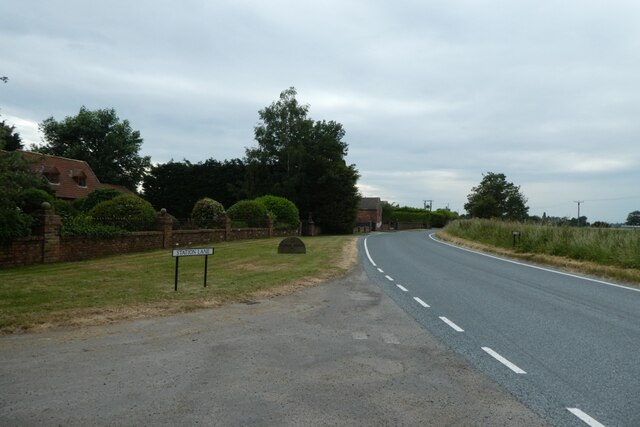
Barmby Pasture
Downs, Moorland in Yorkshire Selby
England
Barmby Pasture
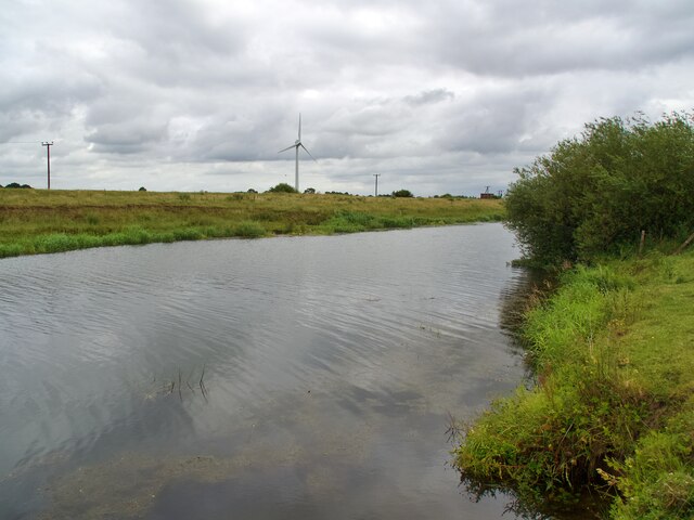
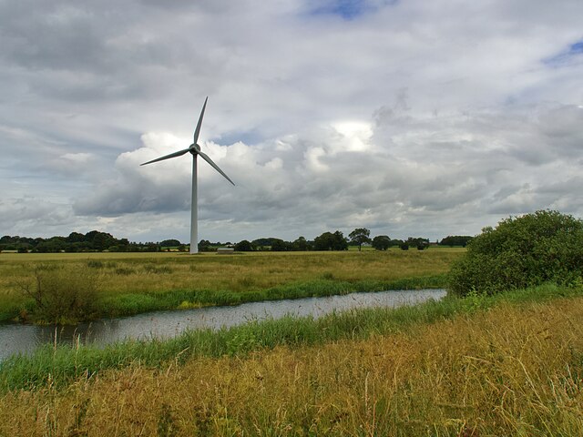
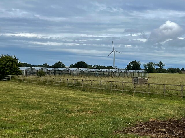
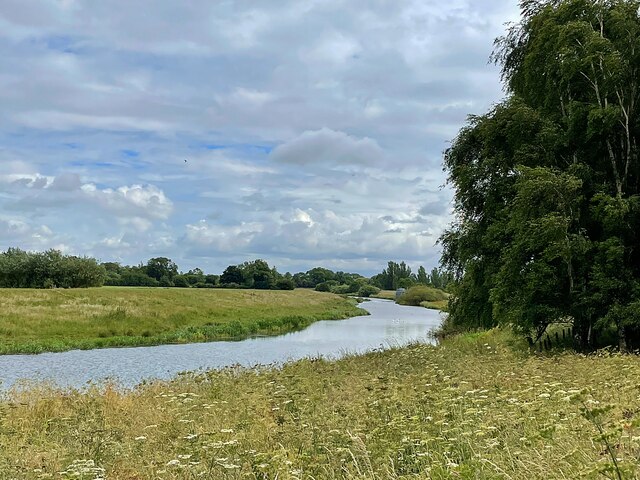
Barmby Pasture is a picturesque area located in the county of Yorkshire, England. Situated on the Yorkshire Downs, this vast expanse of land spans across the moorland, offering breathtaking views and a serene atmosphere.
Covering an area of approximately 500 acres, Barmby Pasture is a haven for nature lovers and outdoor enthusiasts. Its diverse landscape features rolling hills, open fields, and patches of dense woodland, providing a habitat for a wide range of flora and fauna. The area is particularly known for its heather-covered moorland, which blooms with vibrant purple hues during the summer months, adding to its natural beauty.
The Pasture is intersected by several walking trails, offering visitors the opportunity to explore the area and take in its stunning surroundings. The paths are well-maintained and suitable for all ages and fitness levels, ensuring accessibility for everyone. Along the trails, visitors may encounter various species of birds, including skylarks and buzzards, as well as small mammals such as rabbits and hares.
Barmby Pasture also holds historical significance, with remnants of ancient settlements and burial mounds scattered throughout the area. These archaeological sites provide a glimpse into the area's rich past and offer a chance for visitors to learn about the region's history.
Overall, Barmby Pasture is a captivating destination for those seeking tranquility and natural beauty. Its combination of moorland, downs, and woodland, along with its diverse wildlife and historical landmarks, make it a truly remarkable place to explore.
If you have any feedback on the listing, please let us know in the comments section below.
Barmby Pasture Images
Images are sourced within 2km of 53.754487/-0.95905163 or Grid Reference SE6829. Thanks to Geograph Open Source API. All images are credited.


Barmby Pasture is located at Grid Ref: SE6829 (Lat: 53.754487, Lng: -0.95905163)
Division: East Riding
Administrative County: North Yorkshire
District: Selby
Police Authority: North Yorkshire
What 3 Words
///intelligible.narrating.regress. Near Barmby on the Marsh, East Yorkshire
Nearby Locations
Related Wikis

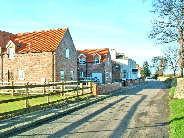
Barmby on the Marsh
Barmby on the Marsh is a village and civil parish in the East Riding of Yorkshire, England. It is situated approximately 4 miles (6.4 km) west of the market...
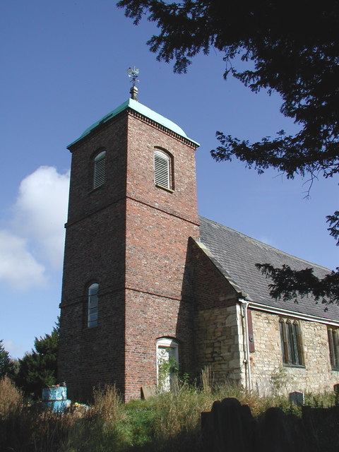
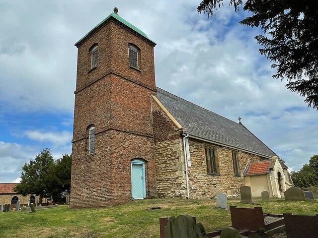
St Helen's Church, Barmby on the Marsh
The Church of St Helen, Barmby on the Marsh, East Riding of Yorkshire, England is a redundant church which is now in the care of the Friends of Friendless...

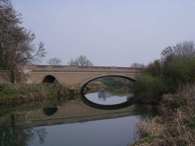
River Derwent, Yorkshire
The Derwent is a river in Yorkshire in the north of England. It flows from Fylingdales Moor in the North York Moors National Park, east then southwards...
Long Drax
Long Drax (also known as Langrick) is a small hamlet and civil parish in the Selby District of North Yorkshire, England, about 2 miles north-east of Drax...

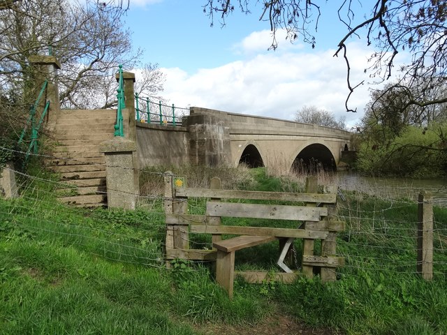
Long Drax swing bridge
The Long Drax swing bridge (also known as the Hull and Barnsley railway Ouse swing bridge) was a swing bridge on the River Ouse near Barmby on the Marsh...

Barmby railway station
Barmby railway station was a station on the Hull and Barnsley Railway, and served the village of Barmby on the Marsh in the East Riding of Yorkshire, England...

Hemingbrough
Hemingbrough is a small village and civil parish in North Yorkshire, England that is located approximately 5 miles (8 km) from Selby and 4 miles (6.4 km...
St Mary the Virgin, Hemingbrough
The church of St Mary the Virgin, Hemingbrough is a Grade I listed building in Hemingbrough, district of Selby, North Yorkshire, England. It is also known...
Related Videos

BARMBY ON THE MARSH: East Riding of Yorkshire Parish #7 of 172
Where two English rivers converge at a point about 4 miles to the West of Howden, there lies a village. In that village you're ...
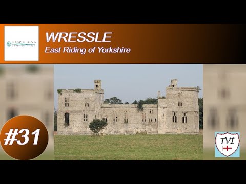
WRESSLE: East Riding of Yorkshire Parish #31 of 172
This village has some 18th-century buildings, including one Castle Farmhouse - built to house a farmer after a fire at this place's ...

HEMINGBROUGH: Selby Parish #57 of 74
The 12th-century church of St Mary the Virgin is this place's most iconic feature. It's one of the most magnificent churches in the ...
Nearby Amenities
Located within 500m of 53.754487,-0.95905163Have you been to Barmby Pasture?
Leave your review of Barmby Pasture below (or comments, questions and feedback).