Terrington Moor
Downs, Moorland in Yorkshire Ryedale
England
Terrington Moor

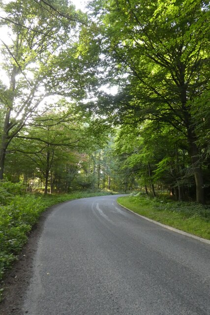
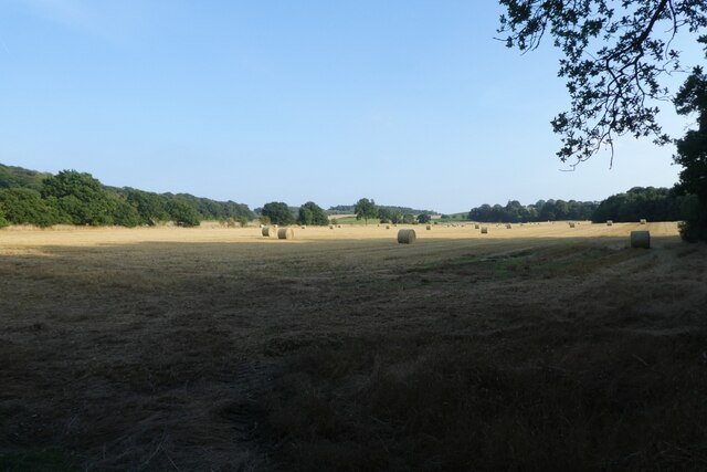
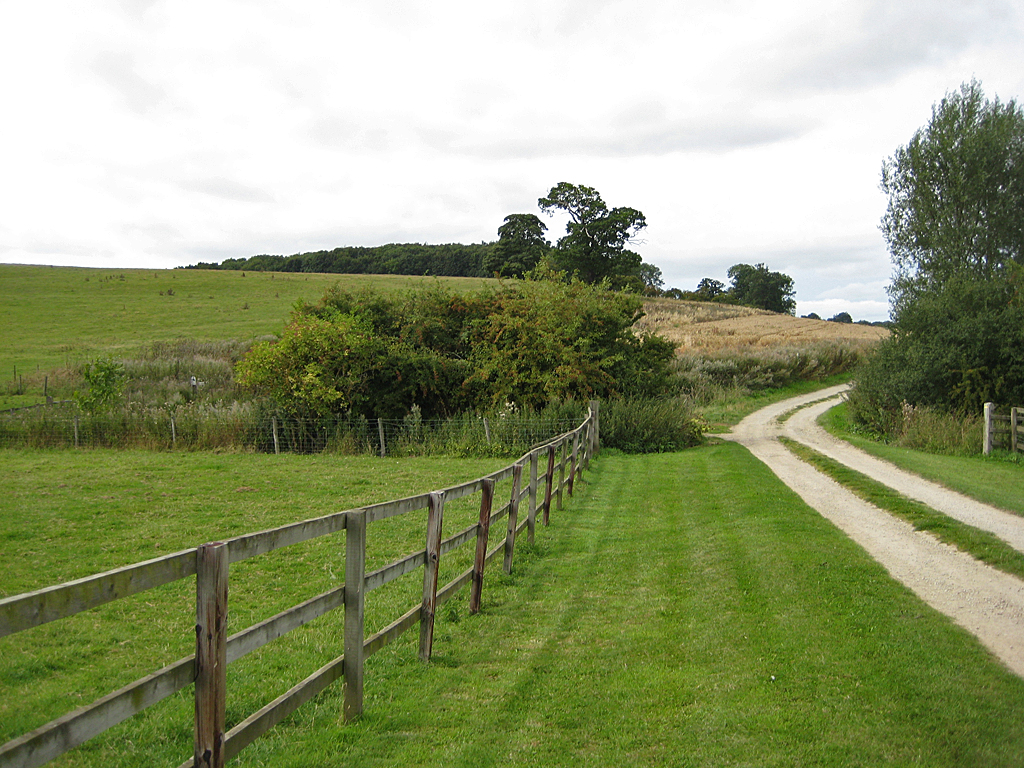
Terrington Moor is a vast expanse of moorland located in the county of Yorkshire, England. Situated in the district of Ryedale, it covers an area of approximately 6 square kilometers. The moorland is part of the larger Howardian Hills Area of Outstanding Natural Beauty and is known for its stunning natural scenery.
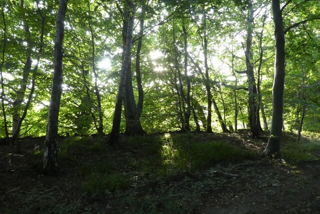
Terrington Moor is characterized by its rolling hills, heather-covered moors, and scattered woodlands. It is home to a diverse range of flora and fauna, including a variety of moorland birds, such as curlews, lapwings, and red grouse. The moorland also supports a population of wild rabbits and hares.
The landscape of Terrington Moor is largely untouched and provides visitors with a sense of tranquility and solitude. The moorland offers numerous walking trails and footpaths, allowing nature enthusiasts to explore and appreciate the beauty of the area. On clear days, the moorland provides breathtaking views of the surrounding countryside and distant hills.
Due to its natural beauty and ecological importance, Terrington Moor is a designated Site of Special Scientific Interest (SSSI). The moorland is managed and conserved by various environmental organizations to protect its unique habitats and wildlife.
Visitors to Terrington Moor can enjoy activities such as hiking, bird watching, and photography. The moorland also offers opportunities for picnicking and nature spotting. It is a popular destination for those seeking a peaceful retreat in the midst of Yorkshire's stunning landscape.
If you have any feedback on the listing, please let us know in the comments section below.
Terrington Moor Images
Images are sourced within 2km of 54.137163/-0.95114959 or Grid Reference SE6871. Thanks to Geograph Open Source API. All images are credited.


Terrington Moor is located at Grid Ref: SE6871 (Lat: 54.137163, Lng: -0.95114959)
Division: North Riding
Administrative County: North Yorkshire
District: Ryedale
Police Authority: North Yorkshire
What 3 Words
///cheaper.listed.sleepers. Near Sheriff Hutton, North Yorkshire
Nearby Locations
Related Wikis

Terrington
Terrington is a large village and civil parish in the Ryedale district of North Yorkshire, England. It is situated in the Howardian Hills, 4 miles (6.4...
Coneysthorpe
Coneysthorpe is a small village and civil parish in North Yorkshire, England. It is situated near Castle Howard and 4 miles (6.4 km) west of Malton. The...

Slingsby, North Yorkshire
Slingsby is a village and civil parish in North Yorkshire, England. It is about 6 miles (10 km) west of Malton on the B1257 road. According to the 2001...
Henderskelfe
Henderskelfe is a civil parish in North Yorkshire, England. The parish does not contain any villages, though it is named after a previous settlement and...

Fryton
Fryton is a small village and civil parish in North Yorkshire, England with a population of around 50. This population remained less than 100 at the 2011...

Wath, Ryedale
Wath is a small hamlet in the civil parish of Hovingham, in North Yorkshire, England. It is situated at the northern edge of the Howardian Hills AONB,...

Castle Howard
Castle Howard is a stately home in North Yorkshire, England, within the civil parish of Henderskelfe, located 15 miles (24 km) north of York. It is a private...

Henderskelfe Castle
Henderskelfe Castle, or Henderskelf Castle in older texts, was a Medieval castle in the English county of North Yorkshire. It stood on what is now the...
Nearby Amenities
Located within 500m of 54.137163,-0.95114959Have you been to Terrington Moor?
Leave your review of Terrington Moor below (or comments, questions and feedback).