West Field
Downs, Moorland in Yorkshire Selby
England
West Field

West Field, Yorkshire is a picturesque region located in northern England, encompassing the stunning landscapes of the Downs and Moorland. Spanning an area of approximately 500 square kilometers, this area is renowned for its natural beauty, rolling hills, and diverse ecosystems.
The Downs of West Field are characterized by their wide, open spaces and gentle slopes, providing breathtaking panoramic views of the surrounding countryside. These grassy expanses are dotted with vibrant wildflowers during the summer months, creating a vibrant tapestry of colors. The Downs also serve as pastoral land for grazing livestock, contributing to the region's rural charm.
Adjacent to the Downs, the Moorland of West Field offers a stark contrast with its rugged terrain and heather-covered hills. This unique landscape is home to a variety of wildlife, including birds of prey, grouse, and deer. Visitors can explore the Moorland through a network of footpaths and hiking trails, immersing themselves in the tranquility and solitude of nature.
West Field features several quaint villages and hamlets, providing a glimpse into traditional Yorkshire life. These communities are known for their historic buildings, charming pubs, and welcoming locals. The region also boasts a rich cultural heritage, with ancient archaeological sites and ruins scattered throughout the landscape.
In summary, West Field, Yorkshire is a captivating region that showcases the idyllic beauty of the Downs and the rugged allure of the Moorland. This enchanting area offers a wealth of natural wonders, outdoor activities, and a glimpse into the region's rural heritage, making it a must-visit destination for nature enthusiasts and history lovers alike.
If you have any feedback on the listing, please let us know in the comments section below.
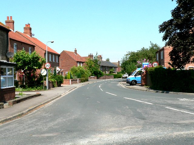
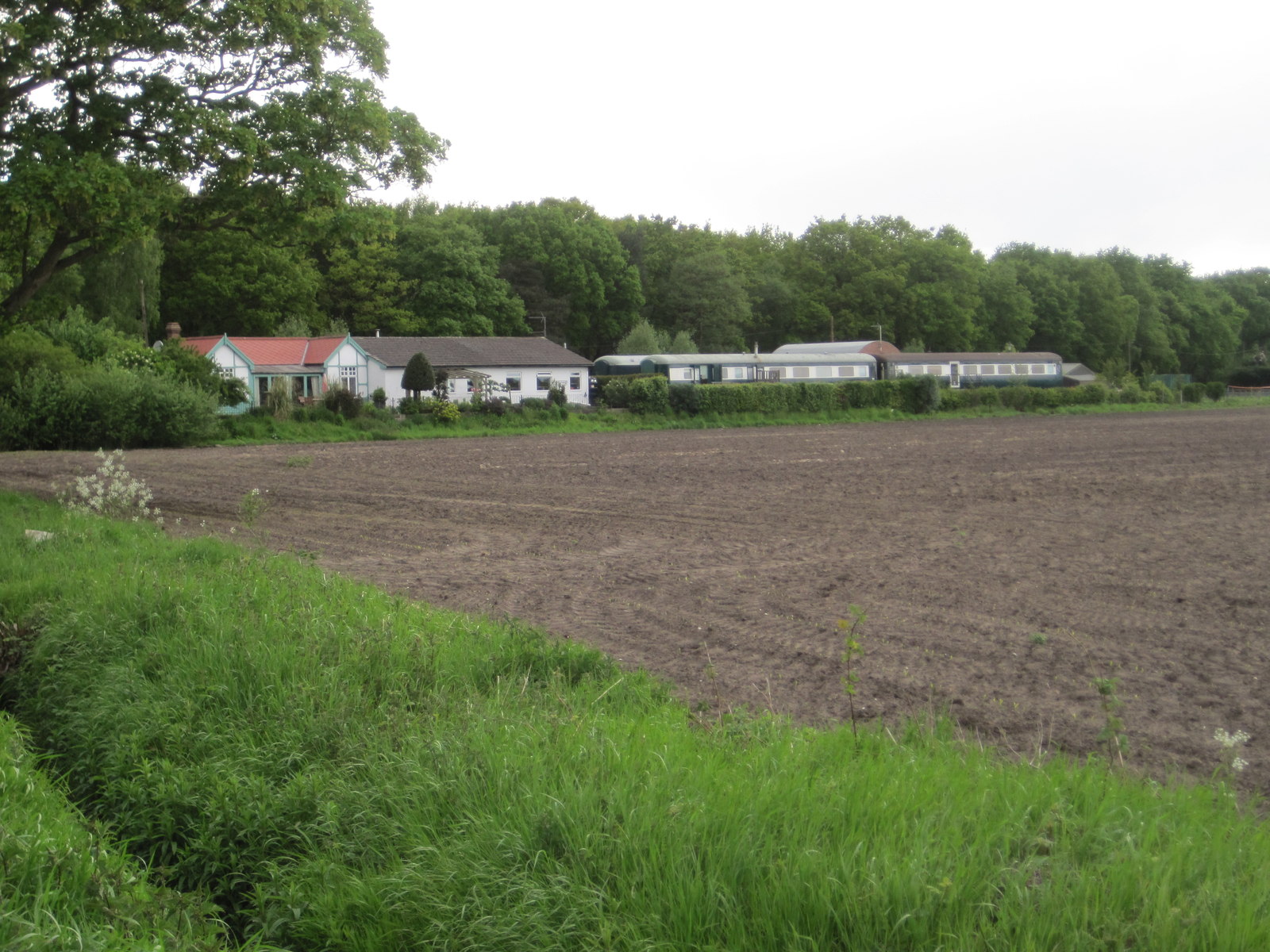
West Field Images
Images are sourced within 2km of 53.820454/-0.9643294 or Grid Reference SE6836. Thanks to Geograph Open Source API. All images are credited.


West Field is located at Grid Ref: SE6836 (Lat: 53.820454, Lng: -0.9643294)
Division: East Riding
Administrative County: North Yorkshire
District: Selby
Police Authority: North Yorkshire
What 3 Words
///chop.hound.flip. Near North Duffield, North Yorkshire
Nearby Locations
Related Wikis
North Duffield
North Duffield is a village and civil parish in the Selby District of North Yorkshire, England. It was historically part of the East Riding of Yorkshire...

Duffield Castle, North Yorkshire
Duffield Castle lay on the flood plain of the River Derwent in the parish of North Duffield in the English county of North Yorkshire. It was documented...

Menthorpe Gate railway station
Menthorpe Gate railway station was a station on the Selby to Driffield Line in North Yorkshire, England serving the village of North Duffield and the hamlets...
Skipwith railway station
Skipwith railway station served the village of Skipwith, North Yorkshire, England from 1912 to 1968 on the Derwent Valley Light Railway. == History... ==
Related Videos
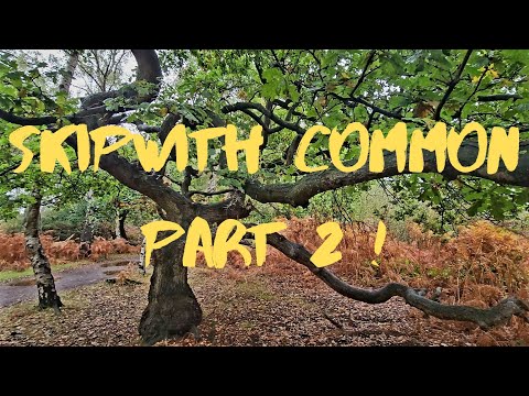
Skipwith Common National Nature Reserve: A Hidden Gem in Yorkshire
This is the concluding part of my walk around this lovely nature reserve near Selby. It is an area that was once home to RAF Riccal ...
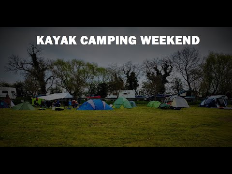
Kayak Camping Trip, River Derwent @ The Breighton Ferry
A special thanks to @MoreThanJustaCleaner for arranging this camping weekend, heres my footage. Sadly none from the final ...
Community Camp & Paddle - The Tough One!
Community Camp & Paddle - The Tough One! This second group event took place at The Breighton Ferry again. this time the plan ...

Camping & Inflatable Kayaking - Group Camp & Paddle Event
Camping & Inflatable Kayaking - Group Camp & Paddle Event - This is the third group event I've organised. Some new faces ...
Nearby Amenities
Located within 500m of 53.820454,-0.9643294Have you been to West Field?
Leave your review of West Field below (or comments, questions and feedback).