Haydon
Settlement in Somerset Mendip
England
Haydon
Haydon is a small village located in the county of Somerset, England. Situated in the South West region of the country, it lies just northeast of the town of Taunton and is surrounded by picturesque countryside. The village is part of the Somerset West and Taunton district.
Haydon is a charming, rural community with a population of around 500 residents. The village is known for its idyllic setting and peaceful atmosphere, making it a popular destination for those seeking a tranquil retreat. The landscape in and around Haydon is characterized by rolling hills, meandering streams, and lush green fields, providing ample opportunities for scenic walks and outdoor activities.
Despite its small size, Haydon offers several amenities to its residents and visitors. The village features a local pub, where locals and tourists alike can enjoy a pint of traditional Somerset cider or indulge in a hearty pub meal. Additionally, there is a village hall that hosts various community events and gatherings, fostering a strong sense of community spirit.
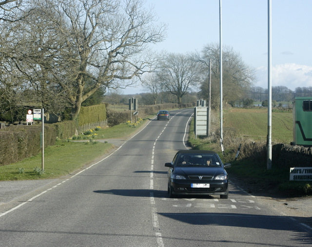
Haydon's proximity to Taunton allows residents to easily access a wider range of amenities, including supermarkets, shops, restaurants, and leisure facilities. The village is also well-connected by road, with the A358 providing convenient access to nearby towns and cities.
Overall, Haydon is a charming village that offers a peaceful and picturesque lifestyle in the heart of the Somerset countryside. Its rural setting, coupled with its close proximity to larger towns, makes it an attractive place to live or visit for those seeking a balance between tranquility and convenience.
If you have any feedback on the listing, please let us know in the comments section below.
Haydon Images
Images are sourced within 2km of 51.231771/-2.596218 or Grid Reference ST5848. Thanks to Geograph Open Source API. All images are credited.


Haydon is located at Grid Ref: ST5848 (Lat: 51.231771, Lng: -2.596218)
Administrative County: Somerset
District: Mendip
Police Authority: Avon and Somerset
What 3 Words
///thinking.spout.denoting. Near Mendip, Somerset
Nearby Locations
Related Wikis
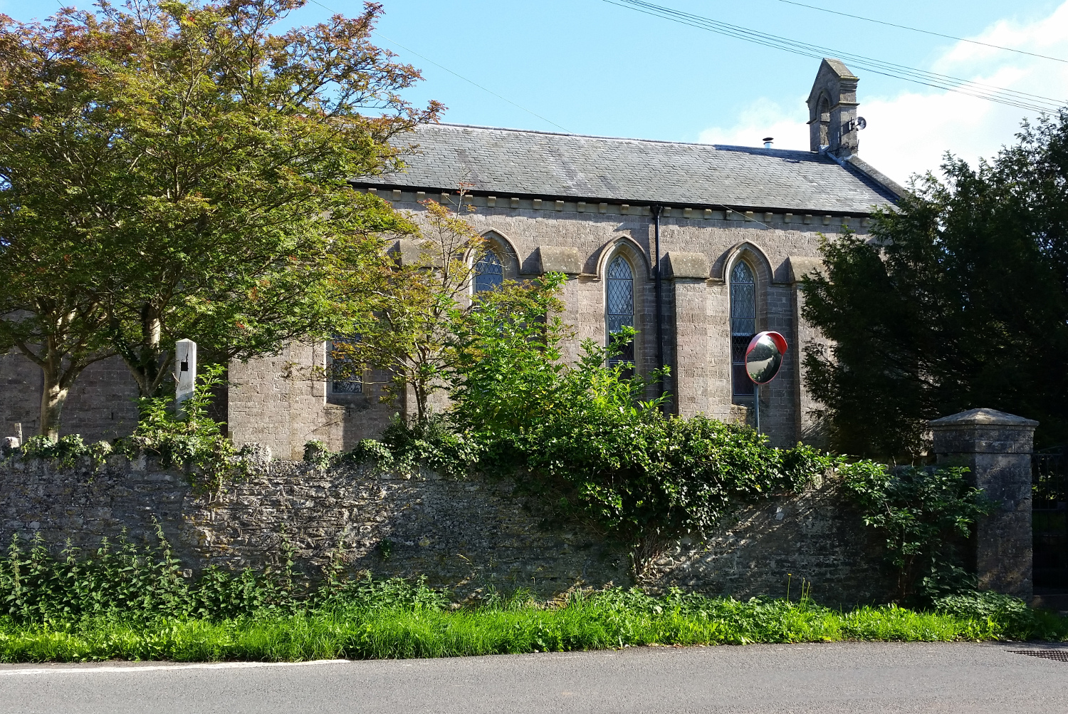
St John's Church, East Horrington
St John's Church is a former Church of England church in East Horrington, Somerset, England. It was built in 1838 to the designs of Richard Carver and...

Horrington
Horrington is a collection of three small villages (South Horrington, East Horrington and West Horrington) in the parish of St Cuthbert Out 1 mile (2 km...
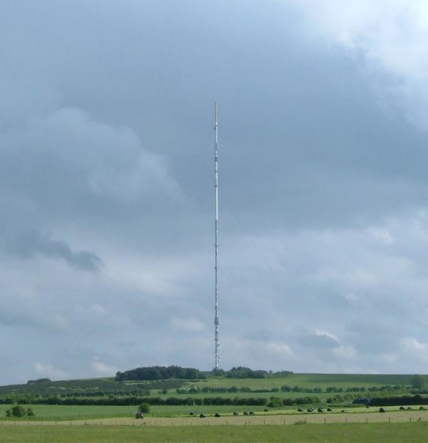
Mendip transmitting station
The Mendip transmitting station is a broadcasting and telecommunications facility on the summit of Pen Hill, part of the Mendip Hills range in Somerset...

Pen Hill
Pen Hill forms part of the Mendip Hills plateau in Somerset, England. The hill is located in St Cuthbert Out civil parish in Mendip district. The name...
Nearby Amenities
Located within 500m of 51.231771,-2.596218Have you been to Haydon?
Leave your review of Haydon below (or comments, questions and feedback).