Small Down

Downs, Moorland in Hampshire East Hampshire

England

Small Down

Pasture, East Meon Ewes, lambs and the head of a dry valley beside the byway on Wether Down.
Pasture, East Meon Credit: Andrew Smith

Small Down is a picturesque area located in Hampshire, England. It is primarily known for its stunning downs and moorland landscapes, which attract visitors from near and far. Situated in the southern part of the county, Small Down offers a tranquil and idyllic retreat for nature lovers and outdoor enthusiasts.

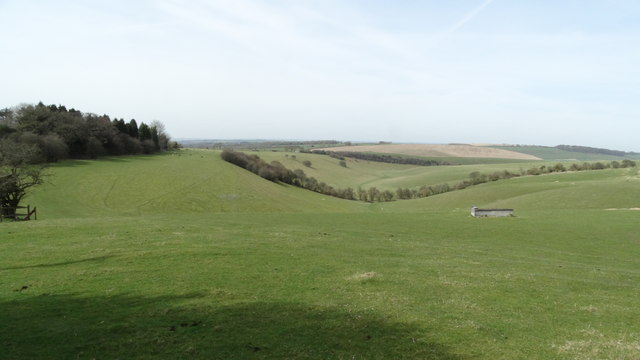
The downs in Small Down are characterized by their rolling hills and expansive grasslands, providing breathtaking panoramic views of the surrounding countryside. These downs are home to a diverse range of flora and fauna, including wildflowers, butterflies, and various bird species. The area is also known for its ancient burial mounds, offering a glimpse into its rich historical past.

Adjacent to the downs, Small Down boasts extensive moorland, which is a haven for wildlife and offers ample opportunities for walking and hiking. The moorland is characterized by its heather-covered hills, deep valleys, and scattered woodlands, creating a captivating and diverse landscape. Visitors can explore the numerous walking trails that wind their way through the moorland, providing a chance to immerse themselves in the natural beauty of the area.

Small Down is a popular destination for outdoor activities such as picnicking, birdwatching, and photography. The area also offers camping facilities, allowing visitors to spend a night under the stars and truly connect with nature. With its peaceful ambiance and stunning vistas, Small Down is a must-visit destination for those seeking a serene and scenic escape in the heart of Hampshire.

If you have any feedback on the listing, please let us know in the comments section below.

Small Down Images

Images are sourced within 2km of 50.981001/-1.0415964 or Grid Reference SU6720. Thanks to Geograph Open Source API. All images are credited.

Pasture, East Meon Ewes, lambs and the head of a dry valley beside the byway on Wether Down.
Pasture, East Meon
Ewes, lambs and the head of a dry valley beside the byway on Wether Down.
Farmland, East Meon Spring barley viewed from the lower slopes of Hyden Hill.
Farmland, East Meon
Spring barley viewed from the lower slopes of Hyden Hill.
Lane, pasture and woodland, Hambledon The western edge of Coombe Wood.
Lane, pasture and woodland, Hambledon
The western edge of Coombe Wood.
Looking east across the Meon Valley
Trig point on Wether Down, Leydene Park
Dry valley, S of Long Down, Leydene Park
Hyden Cross A complicated set of junctions here, not all seen in this view.
Hyden Cross
A complicated set of junctions here, not all seen in this view.
Byway towards Hyden Cross Used by the South Downs Way.
Byway towards Hyden Cross
Used by the South Downs Way.
Old Direction Sign - Signpost by Hyden Cross, East Meon parish Annulus finial - 4 arms; Hampshire Parish halo by the UC road, in parish of East Meon (East Hampshire District), near Leydene House/HMS Mercury, Hyden Cross, junction with South Downs Way.

Surveyed

Milestone Society National ID: HA_SU6818A
Old Direction Sign - Signpost by Hyden Cross, East Meon parish
Annulus finial - 4 arms; Hampshire Parish halo by the UC road, in parish of East Meon (East Hampshire District), near Leydene House/HMS Mercury, Hyden Cross, junction with South Downs Way. Surveyed Milestone Society National ID: HA_SU6818A
Old Direction Sign - Signpost annulus finial - 3 arms; Hampshire Parish halo by the UC road, in parish of East Meon (East Hampshire District), HMS Mercury, Hydon Cross, Junction with South Downs Way.

surveyed

Milestone Society National ID: HA_SU6818B
Old Direction Sign - Signpost
annulus finial - 3 arms; Hampshire Parish halo by the UC road, in parish of East Meon (East Hampshire District), HMS Mercury, Hydon Cross, Junction with South Downs Way. surveyed Milestone Society National ID: HA_SU6818B
Telecommunications Masts on Salt Hill
Droxford Road, on Chidden Down
Evening light on Droxford Road A gentle end to a damp grey day.
Evening light on Droxford Road
A gentle end to a damp grey day.
Cottage in East Meon (2021) This cottage was previously a Post Office, see <a href="https://www.geograph.org.uk/photo/179940">SU6822 : East Meon Post Office.</a>. It was also photographed by my brother in 1973, doesn't look like it was a Post Office back then though, see <a href="https://www.geograph.org.uk/photo/6976333">SU6822 : Cottage in East Meon (1973)</a>.
Cottage in East Meon (2021)
This cottage was previously a Post Office, see SU6822 : East Meon Post Office.. It was also photographed by my brother in 1973, doesn't look like it was a Post Office back then though, see SU6822 : Cottage in East Meon (1973).
East Meon Village Stores
Belmont Farm
Belmont Farm
Anvil Close, East Meon
Show me another place!

Small Down is located at Grid Ref: SU6720 (Lat: 50.981001, Lng: -1.0415964)

Administrative County: Hampshire

District: East Hampshire

Police Authority: Hampshire

What 3 Words

///afternoon.vibe.panther. Near Petersfield, Hampshire

Nearby Locations

Salt Hill Small Down

Related Wikis

Wether Down

Wether Down is one of the highest hills in the county of Hampshire, England, and in the South Downs, rising to 234 metres (768 ft) above sea level. Wether...
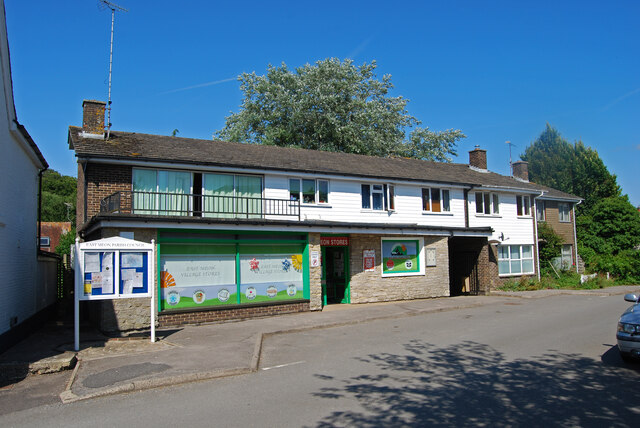
Coombe, Hampshire

Coombe is a village in Hampshire, England. == Location == Coombe is located at grid reference SU662205 == External links == Media related to Coombe, Hampshire...
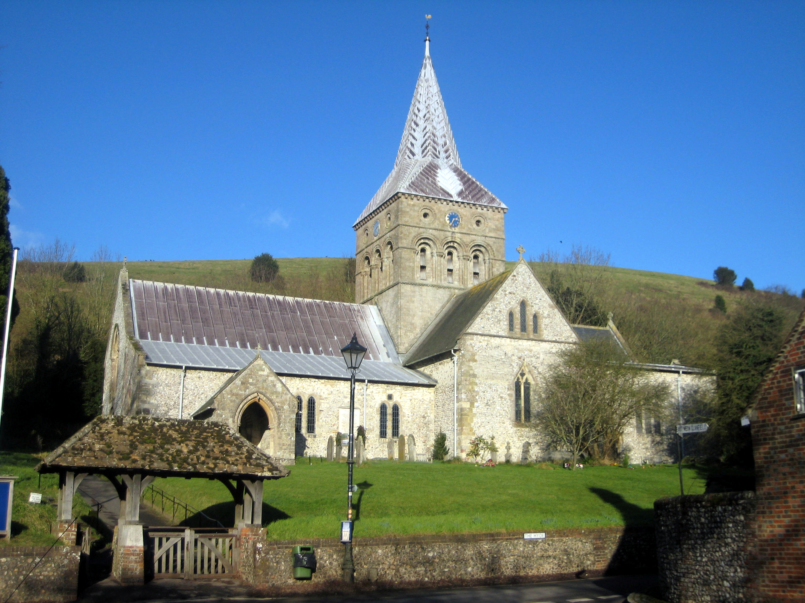
East Meon

East Meon is a village and civil parish in the East Hampshire district of Hampshire, England. It is 4.4 miles (7.1 km) west of Petersfield. The village...

HMS Mercury (shore establishment)

HMS Mercury was a shore establishment of the Royal Navy, and the site of the Royal Navy Signals School and Combined Signals School. There was also a subsidiary...

Nearby Amenities

Located within 500m of 50.981001,-1.0415964
Barrier: kissing_gate
Lat/Long: 50.9768608/-1.0421657
Barrier: kissing_gate
Lat/Long: 50.9774979/-1.0394783
Barrier: stile
Lat/Long: 50.9847624/-1.0411555
Barrier: stile
Material: wood
Step Count: 2
Stile: stepover
Lat/Long: 50.9817552/-1.0381669
Barrier: kissing_gate
Lat/Long: 50.9813462/-1.0398149
Small Down
Place: locality
Source: OS_OpenData_StreetView
Lat/Long: 50.9811262/-1.0390643
Height: 6
Line Attachment: pin
Material: wood
Power: pole
Lat/Long: 50.9771545/-1.0423913
Height: 6
Line Attachment: pin
Material: wood
Power: pole
Lat/Long: 50.9789233/-1.044424
Height: 6
Material: wood
Power: pole
Lat/Long: 50.9778529/-1.0428289
Height: 6
Line Attachment: pin
Material: wood
Power: pole
Lat/Long: 50.9785289/-1.0432653
Height: 7
Material: wood
Power: pole
Lat/Long: 50.9792922/-1.0455439
Height: 7
Material: wood
Power: pole
Lat/Long: 50.9796789/-1.0466757
Height: 7
Material: wood
Power: pole
Lat/Long: 50.9800724/-1.047821
The data included in this document is from www.openstreetmap.org. The data is made available under ODbL.

Have you been to Small Down?

Leave your review of Small Down below (or comments, questions and feedback).