Burton Meadows

Downs, Moorland in Nottinghamshire Gedling

England

Burton Meadows

Road Junction in Burton Joyce
Road Junction in Burton Joyce Credit: Jonathan Clitheroe

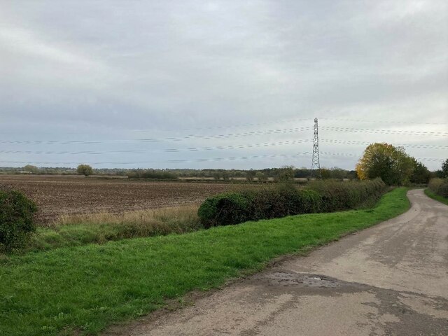
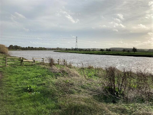
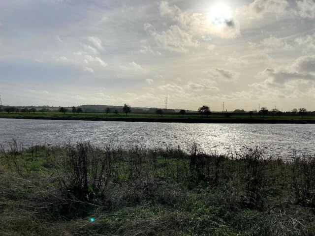
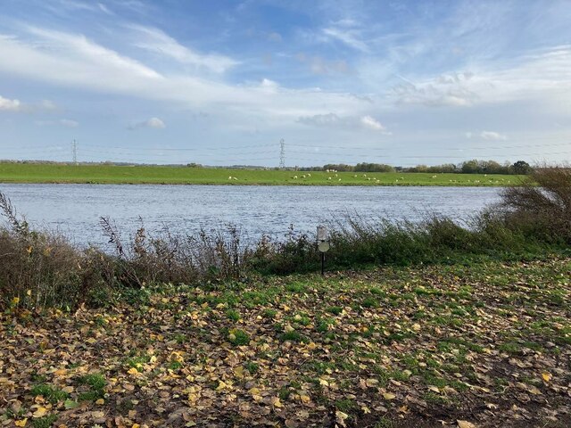
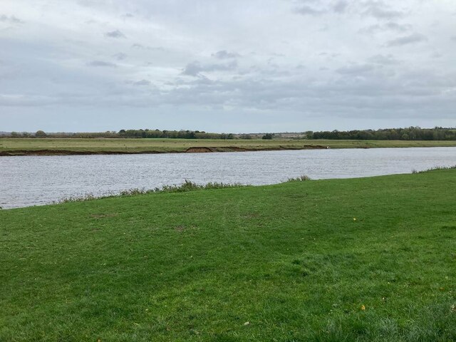
Burton Meadows is a picturesque area located in Nottinghamshire, England, known for its diverse landscapes encompassing downs and moorlands. Spanning approximately 200 acres, it offers a tranquil retreat for nature enthusiasts and those seeking outdoor recreational activities.

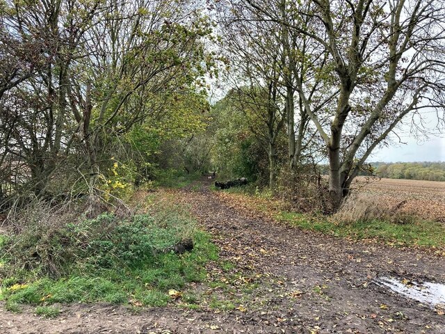
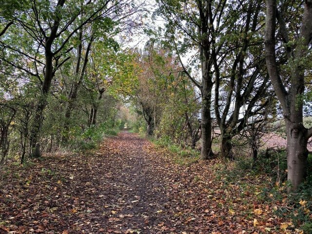
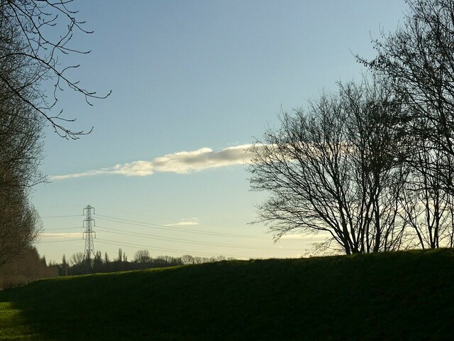
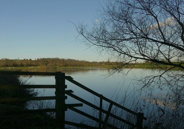
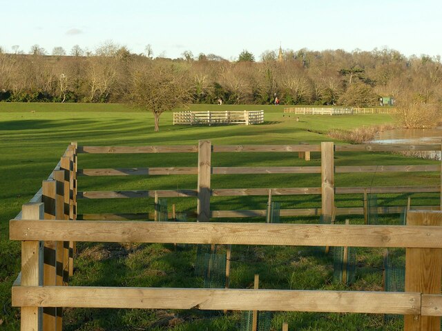
The downs in Burton Meadows are characterized by their rolling hills and grassy slopes, providing stunning panoramic views of the surrounding countryside. These open spaces are ideal for leisurely walks, picnics, and kite flying. The downs are also home to a variety of wildflowers and native wildlife, making it a popular spot for nature photography.

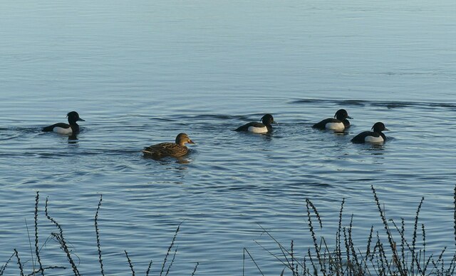
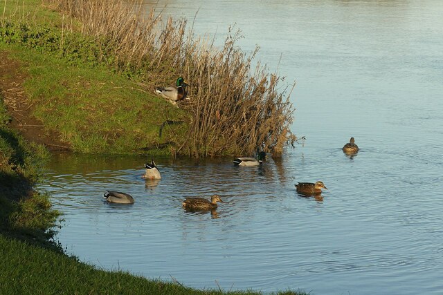
Adjacent to the downs lie the moorlands of Burton Meadows. These areas are characterized by their heather-covered expanses and rocky outcrops. Moorlands are known for their unique ecosystems, supporting a range of plants and animals adapted to the harsher conditions. Visitors can explore the moorlands through designated walking trails, which offer opportunities to observe rare bird species and enjoy the serenity of the surroundings.

The diverse landscapes of Burton Meadows also make it a haven for outdoor enthusiasts. Hiking, cycling, and horseback riding are popular activities, with numerous trails catering to different skill levels. Additionally, the area is equipped with facilities for camping, providing an immersive experience for those wishing to spend a night under the starry skies.

Overall, Burton Meadows in Nottinghamshire offers a blend of downs and moorlands, providing a serene and picturesque setting for nature lovers and outdoor enthusiasts alike. Its stunning landscapes and diverse ecosystems make it a must-visit destination for anyone seeking to immerse themselves in the natural beauty of the English countryside.

If you have any feedback on the listing, please let us know in the comments section below.

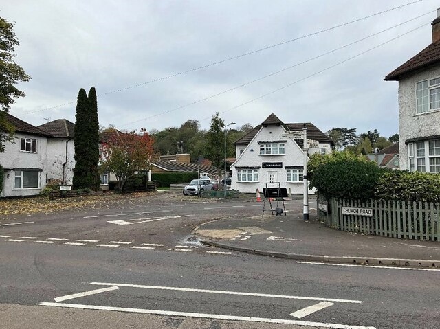
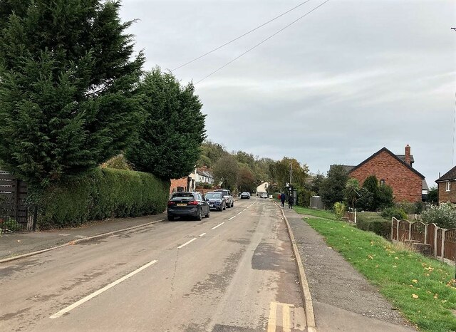
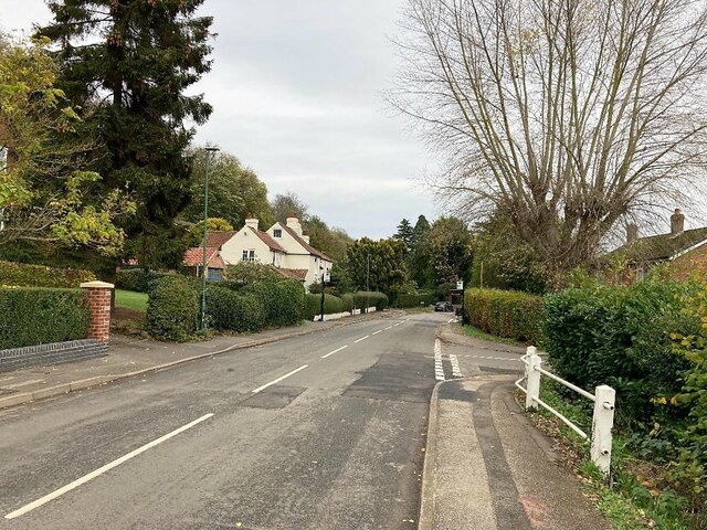
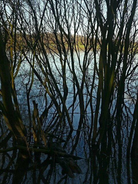
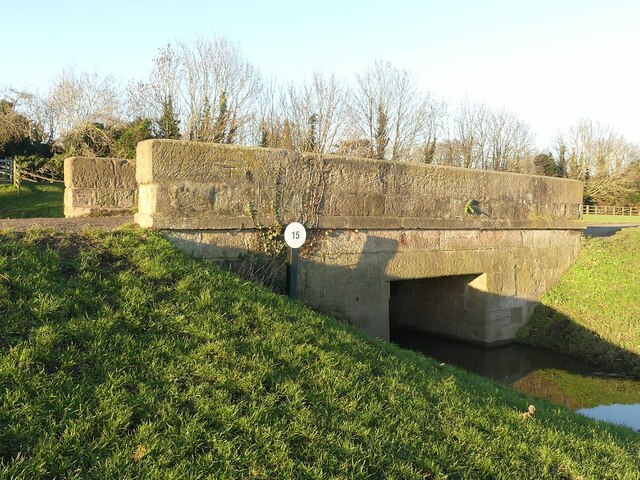
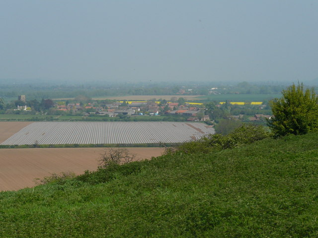
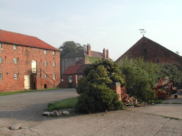
Burton Meadows Images

Images are sourced within 2km of 52.983646/-1.0165787 or Grid Reference SK6643. Thanks to Geograph Open Source API. All images are credited.

Road Junction in Burton Joyce
Main Street in Burton Joyce
Old Main Road in Burton Joyce
Track and Fields near Bulcote Farm
Trent Lane Bridleway Pictured from a path junction at Burton Meadows.
Trent Lane Bridleway
Pictured from a path junction at Burton Meadows.
Wooded Bridleway at Trent Meadows The meandering River Trent is less than a hundred metres or so out of sight to the left of picture.
Wooded Bridleway at Trent Meadows
The meandering River Trent is less than a hundred metres or so out of sight to the left of picture.
The River Trent near Burton Joyce A broad sweep of the river which almost like spilt milk on a table here.
The River Trent near Burton Joyce
A broad sweep of the river which almost like spilt milk on a table here.
The River Trent near Burton Joyce
Grazing by the River Trent Pictured from the riverbank by Stokes Lane.
Grazing by the River Trent
Pictured from the riverbank by Stokes Lane.
The River Trent near Stoke Bardolph Pictured from a spot just to the south of the Ferry Boat Inn.
The River Trent near Stoke Bardolph
Pictured from a spot just to the south of the Ferry Boat Inn.
Winter trees and sky Between Stoke Bardolph and Burton Joyce. The bank in the foreground is part of the River Trent flood defences.
Winter trees and sky
Between Stoke Bardolph and Burton Joyce. The bank in the foreground is part of the River Trent flood defences.
Swimming against the current Tufted duck drakes and a female Mallard on the River Trent near Burton Joyce.
Swimming against the current
Tufted duck drakes and a female Mallard on the River Trent near Burton Joyce.
Swamped trees Water's edge, River Trent, near Burton Joyce.
Swamped trees
Water's edge, River Trent, near Burton Joyce.
Winter sunshine on the River Trent Near Burton Joyce.
Winter sunshine on the River Trent
Near Burton Joyce.
New tree planting by the River Trent The fences are to protect against cattle which are periodically grazed here.
New tree planting by the River Trent
The fences are to protect against cattle which are periodically grazed here.
A group of feeding Mallard In a little backwater on the River Trent near Burton Joyce.
A group of feeding Mallard
In a little backwater on the River Trent near Burton Joyce.
Going nowhere fast This Mallard drake and duck were swimming hard against the current on the River Trent just to more or less stay in the same place.
Going nowhere fast
This Mallard drake and duck were swimming hard against the current on the River Trent just to more or less stay in the same place.
Towpath bridge at Burton Joyce One of the original bridges from the improvement of navigation on the River Trent in the late 18th century, still in original condition, Listed Grade II.
Towpath bridge at Burton Joyce
One of the original bridges from the improvement of navigation on the River Trent in the late 18th century, still in original condition, Listed Grade II.
Show me another place!

Burton Meadows is located at Grid Ref: SK6643 (Lat: 52.983646, Lng: -1.0165787)

Administrative County: Nottinghamshire

District: Gedling

Police Authority: Nottinghamshire

What 3 Words

///behaving.fines.loafing. Near Burton Joyce, Nottinghamshire

Nearby Locations

Burton Meadows

Related Wikis

St Peter and St Paul's Church, Shelford

St Peter and St Paul's Church, Shelford is a parish church in the Church of England in Shelford, Nottinghamshire. The church is Grade II* listed by the...

Shelford, Nottinghamshire

Shelford is a village and civil parish in the Rushcliffe borough of Nottinghamshire. The population of the former civil parish of Shelford and Newton at...

Shelford Priory

Shelford Priory is a former Augustinian Monastery located in the village of Shelford, Nottinghamshire, United Kingdom. The priory was founded by Ralph...

Storming of Shelford House

The Storming of Shelford House was a confrontation of the English Civil War that took place from 1 to 3 November 1645. The Parliamentarian force of Colonel...

Related Videos

River Trent Gunthorpe 70 miles per hour wind

Well the wind here where I'm stood on the edge of the river Trent at Gunthorpe. 70 mile per hour wind and getting stronger.

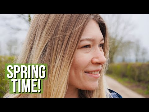
Spring Is FINALLY Here | A Cute Local Walk Around Bulcote | River Trent | Nottinghamshire

Join me on my first ever walk around Bulcote, Nottinghamshire! Such a lovely place for a local walk...especially along the River ...

Nearby Amenities

Located within 500m of 52.983646,-1.0165787
Power: tower
Source: OS OpenData VectoMap District
Lat/Long: 52.9867833/-1.0165619
Power: tower
Source: OS OpenData VectoMap District
Lat/Long: 52.9843364/-1.0206644
Power: tower
Source: OS OpenData VectoMap District
Lat/Long: 52.9828421/-1.0231632
Shelford Fishery
Source: survey
Sport: fishing
Lat/Long: 52.9800611/-1.0125188
Burton Meadows
Place: locality
Source: Bing
Lat/Long: 52.9839952/-1.0157876
Barrier: entrance
Lat/Long: 52.9879679/-1.0186279
The data included in this document is from www.openstreetmap.org. The data is made available under ODbL.

Have you been to Burton Meadows?

Leave your review of Burton Meadows below (or comments, questions and feedback).