West Field
Downs, Moorland in Yorkshire Selby
England
West Field

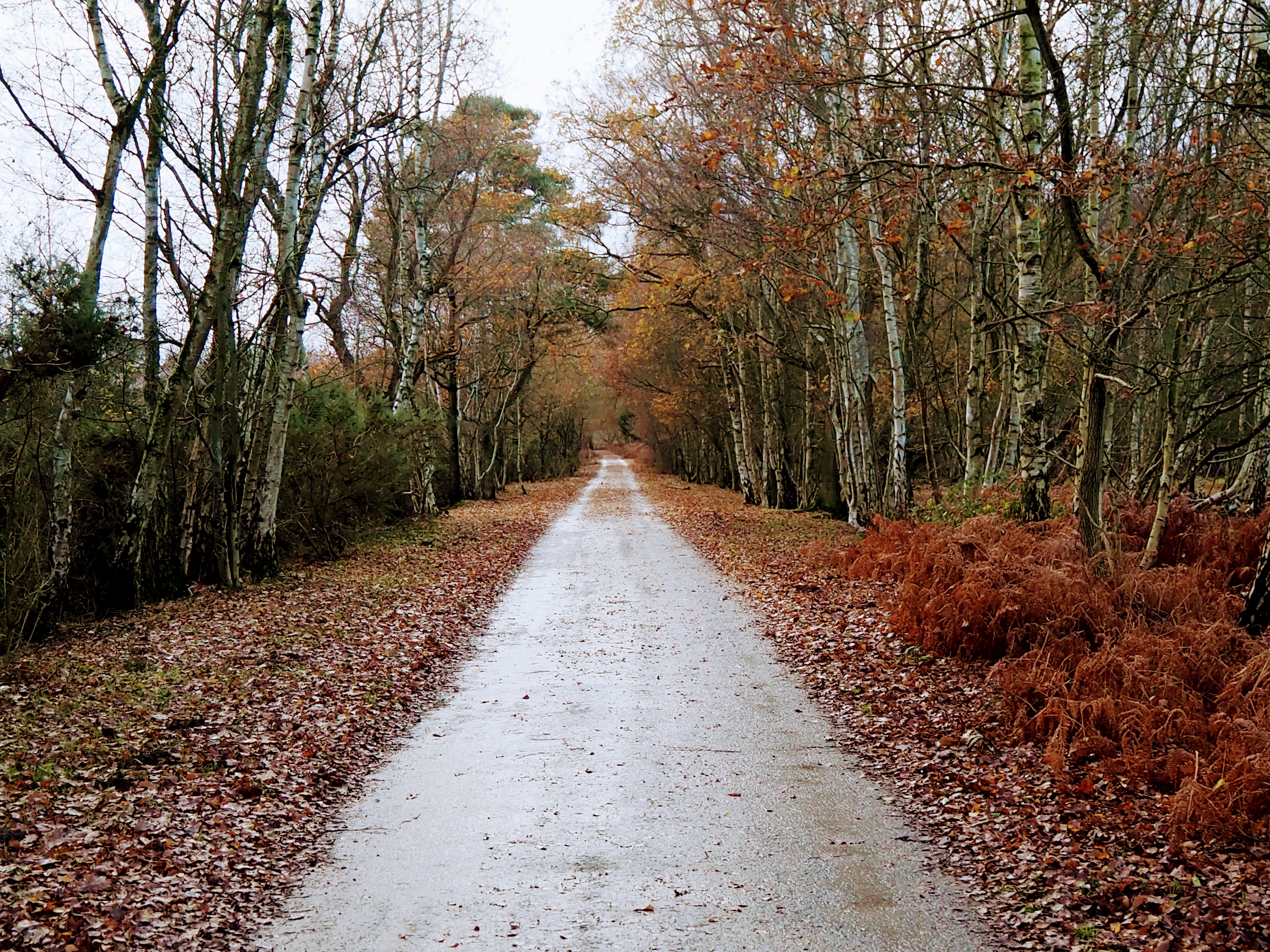
West Field is a picturesque region located in the county of Yorkshire, England. Situated within the larger Yorkshire Dales National Park, it is renowned for its stunning natural beauty and diverse landscapes. The area encompasses both the Downs and Moorland, offering visitors a unique blend of scenery.
The Downs of West Field are characterized by rolling hills and expansive grasslands. These open spaces provide a haven for wildlife, including various species of birds and mammals. The gentle slopes of the Downs also make them ideal for recreational activities such as hiking, picnicking, and horseback riding. From the highest points, visitors can enjoy breathtaking panoramic views of the surrounding countryside.
In contrast, the Moorland of West Field presents a more rugged and wild environment. Here, heather-covered hills, rocky outcrops, and vast open spaces dominate the landscape. Moorland is known for its rich biodiversity, with numerous rare plant species thriving in this unique habitat. The area is also home to a variety of bird species, including the iconic red grouse.
Throughout the year, West Field offers a range of outdoor pursuits for nature enthusiasts. Visitors can explore the many walking trails that crisscross the region, providing opportunities to discover hidden valleys, ancient ruins, and cascading waterfalls. The area is also popular for wildlife spotting, with chances to observe deer, foxes, and even the occasional wild boar.
In summary, West Field in Yorkshire is a captivating destination that showcases the beauty of both the Downs and Moorland. With its diverse landscapes and abundant wildlife, it is a haven for outdoor enthusiasts and a must-visit for those seeking a connection with nature.
If you have any feedback on the listing, please let us know in the comments section below.
West Field Images
Images are sourced within 2km of 53.839036/-1.0115907 or Grid Reference SE6538. Thanks to Geograph Open Source API. All images are credited.


West Field is located at Grid Ref: SE6538 (Lat: 53.839036, Lng: -1.0115907)
Division: East Riding
Administrative County: North Yorkshire
District: Selby
Police Authority: North Yorkshire
What 3 Words
///wobbles.directive.built. Near Riccall, North Yorkshire
Nearby Locations
Related Wikis

Skipwith
Skipwith is a village and civil parish about 4 miles (6.4 km) north-east of Selby and 10 miles (16 km) south-east of York in North Yorkshire, England....
Skipwith Common
Skipwith Common is a national nature reserve south of Skipwith, North Yorkshire, England. It is one of only three areas within the Vale of York that represent...

Ouse and Derwent
Ouse and Derwent was a wapentake of the historic East Riding of Yorkshire, England consisting of the westerly part of the county, between the River Ouse...

Derwent Rural District
Derwent was a rural district in the East Riding of Yorkshire from 1935 to 1974.It was created under a County Review Order in 1935, from most of the Escrick...
Have you been to West Field?
Leave your review of West Field below (or comments, questions and feedback).