Cow Common
Downs, Moorland in Oxfordshire South Oxfordshire
England
Cow Common

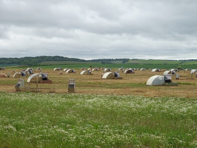
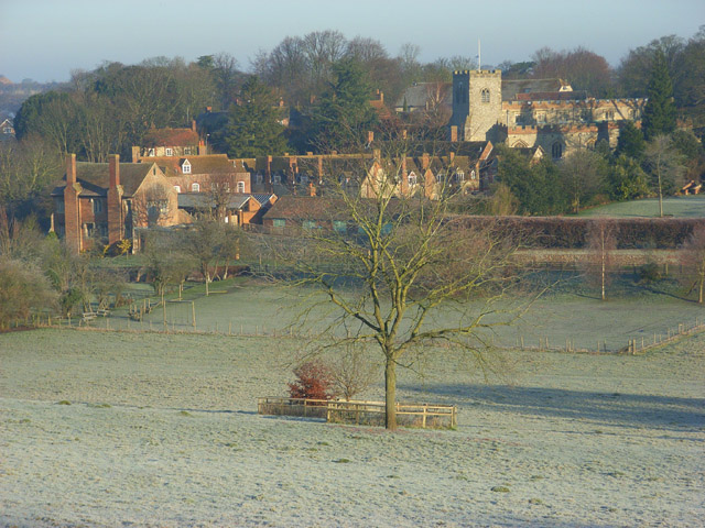
Cow Common is a picturesque area located in Oxfordshire, England, known for its stunning downs and moorland landscapes. Stretching across approximately 200 acres, this area offers a variety of natural features and is a popular destination for outdoor enthusiasts and nature lovers.
The downs of Cow Common are characterized by gently rolling hills covered in lush green grasses, dotted with vibrant wildflowers during the spring and summer months. These open spaces provide ample opportunities for walking, picnicking, and enjoying the panoramic views of the surrounding countryside. The area is also known for its diverse wildlife, with sightings of rabbits, foxes, and various bird species being quite common.
In contrast, the moorland section of Cow Common offers a stark and rugged beauty. This area is characterized by its rocky terrain, heather-covered hills, and scattered patches of woodland. The moorland is home to a wide range of plant and animal species, including rare birds such as the red grouse and the curlew.
Cow Common is also rich in historical and archaeological significance. The remains of ancient settlements and burial sites can be found throughout the area, providing insight into the region's past. Additionally, the common has been utilized for grazing livestock for centuries, contributing to the preservation of traditional farming practices and the rural character of the landscape.
Overall, Cow Common in Oxfordshire offers a unique and diverse natural environment, combining downs and moorland to create a captivating and tranquil setting for visitors to explore and appreciate.
If you have any feedback on the listing, please let us know in the comments section below.
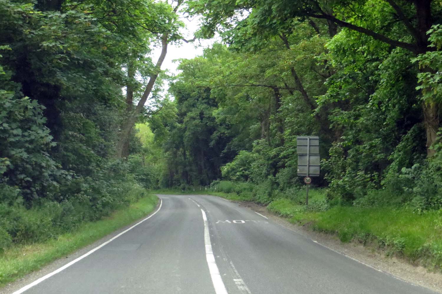
Cow Common Images
Images are sourced within 2km of 51.6135/-1.0614543 or Grid Reference SU6590. Thanks to Geograph Open Source API. All images are credited.


Cow Common is located at Grid Ref: SU6590 (Lat: 51.6135, Lng: -1.0614543)
Administrative County: Oxfordshire
District: South Oxfordshire
Police Authority: Thames Valley
What 3 Words
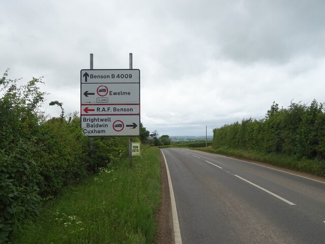
///grasp.ringers.brains. Near Benson, Oxfordshire
Nearby Locations
Related Wikis
Ewelme
Ewelme () is a village and civil parish in the Chiltern Hills in South Oxfordshire, 2.5 miles (4 km) north-east of the market town of Wallingford. The...
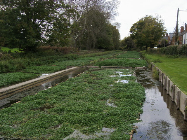
Ewelme Watercress Beds
Ewelme Watercress Beds is a 2.6-hectare (6.4-acre) Local Nature Reserve in Ewelme in Oxfordshire. It is owned and managed by the Chiltern Society.A stream...

A4130 road
The A4130 is a British A road which runs from a junction with the A404 at Burchetts Green (Maidenhead), Berkshire to the A417 at Rowstock in Oxfordshire...
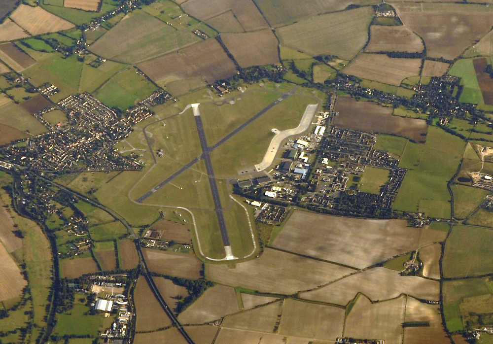
RAF Benson
Royal Air Force Benson or RAF Benson (IATA: BEX, ICAO: EGUB) is a Royal Air Force (RAF) station located at Benson, near Wallingford, in South Oxfordshire...

Swyncombe Downs
Swyncombe Downs is a 47.1-hectare (116-acre) biological Site of Special Scientific Interest east of Wallingford in Oxfordshire.This is an area of chalk...

Benson Veteran Cycle Museum
Benson Veteran Cycle Museum is a private museum of veteran cycles in the village of Benson near Wallingford in Oxfordshire, England.The museum has over...

Crowmarsh Rural District
Crowmarsh was a rural district in Oxfordshire, England from 1894 to 1932. It was created under the Local Government Act 1894 from the part of the Wallingford...
A4074 road
The A4074 is a British A road from the Reading suburb of Caversham to the Heyford Hill roundabout on the Oxford Ring Road.The road starts from a junction...
Nearby Amenities
Located within 500m of 51.6135,-1.0614543Have you been to Cow Common?
Leave your review of Cow Common below (or comments, questions and feedback).