Chalgrove Field
Downs, Moorland in Oxfordshire South Oxfordshire
England
Chalgrove Field

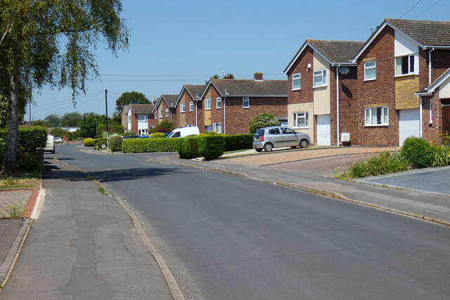
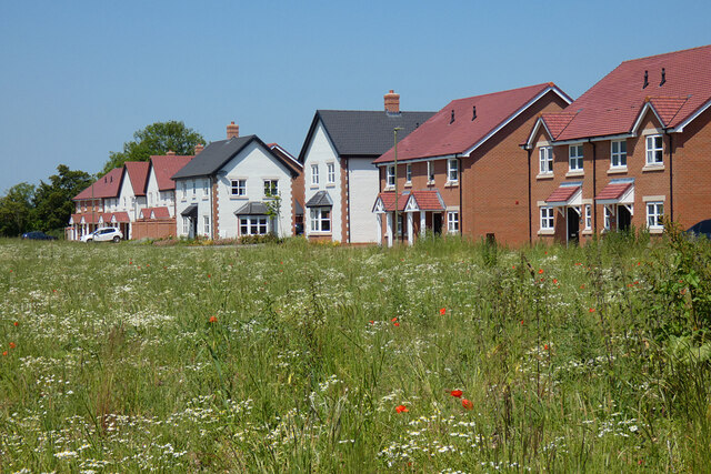
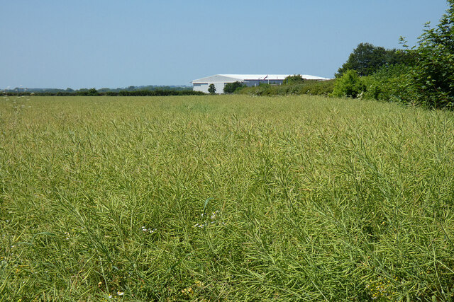
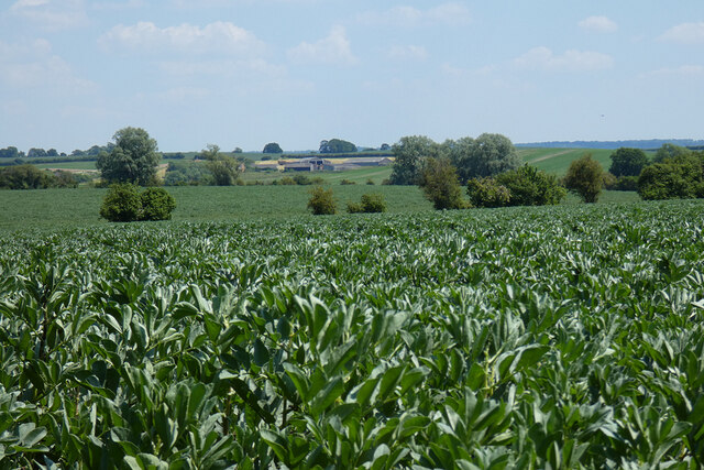
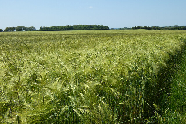
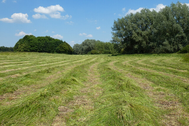
Chalgrove Field is a picturesque area located in Oxfordshire, England. Situated in the southern part of the county, it covers an expansive area of downs and moorland. The field is renowned for its natural beauty, featuring rolling hills, open grasslands, and patches of heather and gorse.
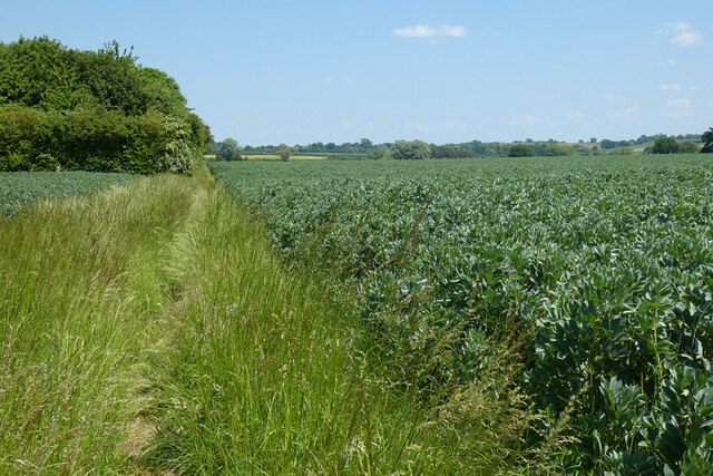
The landscape of Chalgrove Field is characterized by its undulating terrain, with gentle slopes and occasional dips. The fertile soil supports a diverse range of flora and fauna, making it an attractive destination for nature enthusiasts and wildlife observers. The downs are adorned with vibrant wildflowers during the spring and summer months, creating a colorful and lively atmosphere.
The area is also home to a variety of animal species, including rabbits, hares, and deer. Birdwatchers can spot a myriad of avian species, such as skylarks, kestrels, and buzzards, soaring across the vast expanse of sky above the field.
In addition to its natural beauty, Chalgrove Field holds historical significance. During the English Civil War in the 17th century, it served as a battlefield for the Battle of Chalgrove, where Royalist forces clashed with the Parliamentarians. Today, visitors can explore this historical site and discover remnants of the past.
Chalgrove Field offers a tranquil and serene environment, perfect for leisurely walks, picnics, and outdoor activities. Its picturesque scenery and rich history make it a popular destination for locals and tourists alike, providing a serene escape from the bustling city life.
If you have any feedback on the listing, please let us know in the comments section below.
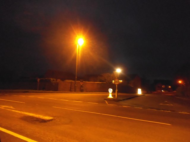
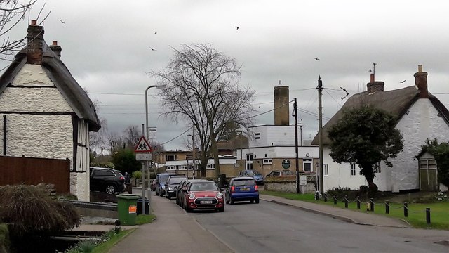
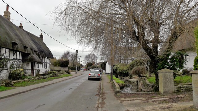
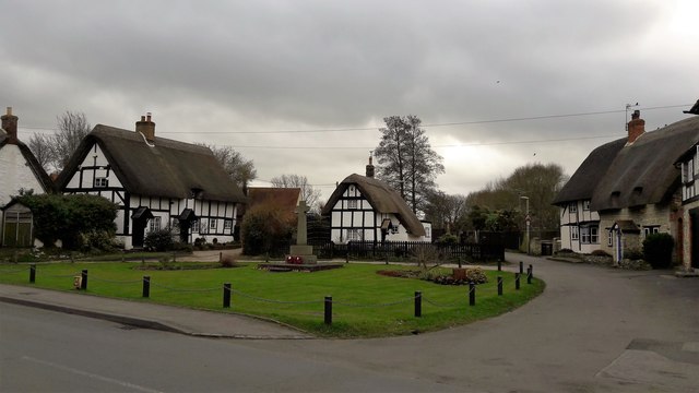
Chalgrove Field Images
Images are sourced within 2km of 51.673624/-1.066778 or Grid Reference SU6497. Thanks to Geograph Open Source API. All images are credited.


Chalgrove Field is located at Grid Ref: SU6497 (Lat: 51.673624, Lng: -1.066778)
Administrative County: Oxfordshire
District: South Oxfordshire
Police Authority: Thames Valley
What 3 Words
///pitchers.watchdogs.blotting. Near Chalgrove, Oxfordshire
Nearby Locations
Related Wikis

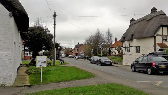
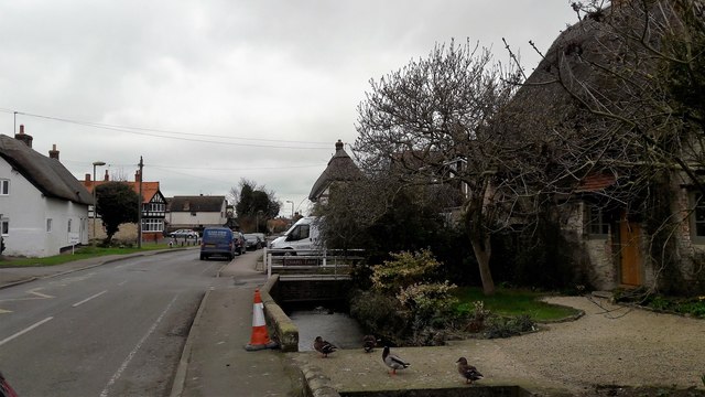
Chalgrove
Chalgrove is a village and civil parish in South Oxfordshire about 10 miles (16 km) southeast of Oxford. The parish includes the hamlet of Rofford and...
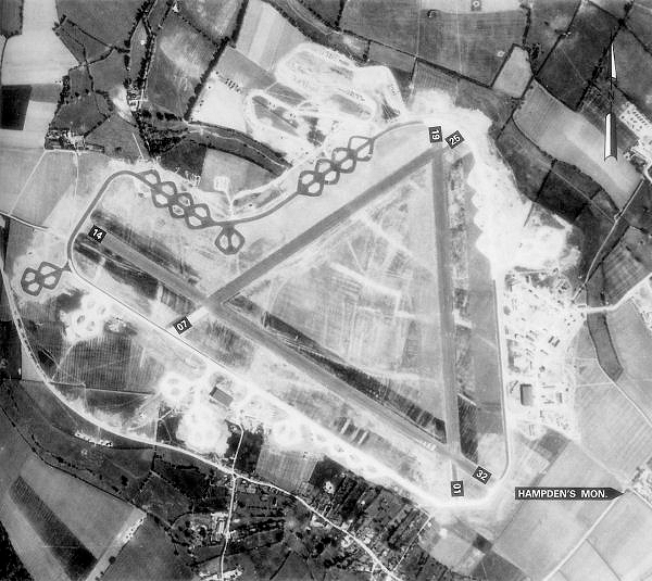
Chalgrove Airfield
Chalgrove Airfield (ICAO: EGLJ) is a former Second World War airfield in Oxfordshire, England. It is approximately 3 mi (4.8 km) north-northeast of Benson...

Easington, South Oxfordshire
Easington is a small village in the civil parish of Cuxham with Easington, in the South Oxfordshire district, in the county of Oxfordshire, England. It...

Cuxham with Easington
Cuxham with Easington is a civil parish in South Oxfordshire. It includes the villages of Cuxham and Easington. The 2011 Census recorded a parish population...

Brightwell Baldwin
Brightwell Baldwin is a village and civil parish in Oxfordshire, about 4+1⁄2 miles (7 km) northeast of Wallingford. It was historically in the Hundred...

Henley (UK Parliament constituency)
Henley is a constituency in Oxfordshire represented in the House of Commons of the UK Parliament since 2008 by John Howell, a Member of Parliament from...

South Oxfordshire
South Oxfordshire is a local government district in the ceremonial county of Oxfordshire, England. Its council is temporarily based outside the district...

Cuxham
Cuxham is a village and former civil parish, now in the parish of Cuxham with Easington, in the South Oxfordshire district, in the county of Oxfordshire...
Nearby Amenities
Located within 500m of 51.673624,-1.066778Have you been to Chalgrove Field?
Leave your review of Chalgrove Field below (or comments, questions and feedback).