Beaurepaire Park

Downs, Moorland in Hampshire Basingstoke and Deane

England

Beaurepaire Park

Field Gates, Ash Park Ash Park isn't shown on the map, but these inscribed gates are obviously part of the property. A public footpath is over the stile at the side.
Field Gates, Ash Park Credit: Des Blenkinsopp

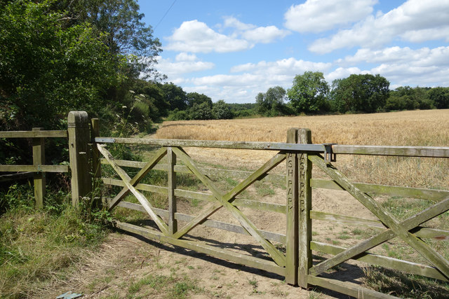
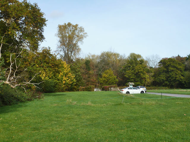
Beaurepaire Park is a picturesque park located in Hampshire, England. It covers an expansive area of downs and moorland, offering visitors a diverse range of natural landscapes to explore.

The park is known for its rolling hills, offering breathtaking panoramic views of the surrounding countryside. The downs are covered in lush green grasses and dotted with vibrant wildflowers, creating a vibrant and colorful scene throughout the year. Walking trails wind their way through the downs, providing visitors with the opportunity to immerse themselves in the serene beauty of the landscape.

In addition to the downs, Beaurepaire Park also boasts extensive moorland. This area is characterized by its heather-covered hills and patches of dense woodland. Visitors can enjoy leisurely walks through the moorland, taking in the sights and sounds of the diverse flora and fauna that call this area home. The park is home to a variety of bird species, making it a popular spot for birdwatchers and nature enthusiasts.

Beaurepaire Park offers a range of recreational activities for visitors. There are designated picnic areas where visitors can relax and enjoy a meal amidst the stunning natural surroundings. The park also features a children's playground, providing entertainment for the younger visitors.

Overall, Beaurepaire Park is a hidden gem in Hampshire, offering visitors a peaceful and idyllic escape from the hustle and bustle of everyday life. Whether it's a leisurely walk through the downs, a picnic with loved ones, or birdwatching in the moorland, this park has something for everyone to enjoy.

If you have any feedback on the listing, please let us know in the comments section below.

Beaurepaire Park Images

Images are sourced within 2km of 51.320165/-1.0880873 or Grid Reference SU6358. Thanks to Geograph Open Source API. All images are credited.

Field Gates, Ash Park Ash Park isn't shown on the map, but these inscribed gates are obviously part of the property. A public footpath is over the stile at the side.
Field Gates, Ash Park
Ash Park isn't shown on the map, but these inscribed gates are obviously part of the property. A public footpath is over the stile at the side.
Building a New Entrance Field gateways can often be a mud bath. Hopefully a load of crunched up tiles will improve things.
Building a New Entrance
Field gateways can often be a mud bath. Hopefully a load of crunched up tiles will improve things.
Hide-type structure, Latchmere Green I wasn't sure of the exact purpose of this structure on the edge of a spinney beside the footpath from Latchmere Green to Pamber Heath.
Hide-type structure, Latchmere Green
I wasn't sure of the exact purpose of this structure on the edge of a spinney beside the footpath from Latchmere Green to Pamber Heath.
Latchmere Green Farm, Ash Lane, Silchester
Latchmere Green Latchmere Green.  The road to the right is Frog Lane, which goes to Froglane Farm, the 'Main Road' is Ash Lane looking South.
Latchmere Green
Latchmere Green. The road to the right is Frog Lane, which goes to Froglane Farm, the 'Main Road' is Ash Lane looking South.
Latchmere Green electricity transmission station A major National Grid distribution centre of Berkshire and Hampshire.
Latchmere Green electricity transmission station
A major National Grid distribution centre of Berkshire and Hampshire.
Latchmere Green electricity transmission station A major National Grid distribution centre of Berkshire and Hampshire.  There are many power lines radiating from here making this the dominant feature of the square.
Latchmere Green electricity transmission station
A major National Grid distribution centre of Berkshire and Hampshire. There are many power lines radiating from here making this the dominant feature of the square.
Footpath towards Latchmere Green
Farmland, Bramley A mown hay-field beside the footpath approaching Bramley Frith Wood from Latchmere Green.
Farmland, Bramley
A mown hay-field beside the footpath approaching Bramley Frith Wood from Latchmere Green.
A damp Frog Lane
A damp Frog Lane
Ash Lane - Latchmere Green
Ash Lane & post box Latchmere Green.
Ash Lane & post box
Latchmere Green.
Kinghern Cottage, Little London (near Basingstoke), Hampshire C17, C18, and modern. Timber frame with old centre, later south side and modern north side. One-storey and attic, irregular fenestration. Thatched roof, 1/2-hipped, with eyebrows. Exposed frame, with painted brick infill. Casements. Modern traditional porch. 

(Source:Historic England)
Kinghern Cottage, Little London (near Basingstoke), Hampshire
C17, C18, and modern. Timber frame with old centre, later south side and modern north side. One-storey and attic, irregular fenestration. Thatched roof, 1/2-hipped, with eyebrows. Exposed frame, with painted brick infill. Casements. Modern traditional porch. (Source:Historic England)
Parking area, The Vyne An extremely popular National Trust property with a large car park. These grass areas furthest away from the reception are roped into sections for extra parking.
Parking area, The Vyne
An extremely popular National Trust property with a large car park. These grass areas furthest away from the reception are roped into sections for extra parking.
Vyne Road At the junction with Morgaston road.
Vyne Road
At the junction with Morgaston road.
Old barn, Church Farm, Bramley An 18th century grade II listed building.
Old barn, Church Farm, Bramley
An 18th century grade II listed building.
Burial ground, Bramley This end appears to be for ashes.
Burial ground, Bramley
This end appears to be for ashes.
Ash Lane Heading towards Latchmere Green.
Ash Lane
Heading towards Latchmere Green.
Show me another place!

Beaurepaire Park is located at Grid Ref: SU6358 (Lat: 51.320165, Lng: -1.0880873)

Administrative County: Hampshire

District: Basingstoke and Deane

Police Authority: Hampshire

What 3 Words

///occupiers.fake.framework. Near Bramley, Hampshire

Related Wikis

Bramley Corner

Bramley Corner is a village in Hampshire, England. == Governance == The village of Bramley Corner is part of the civil parish of Bramley. The village is...

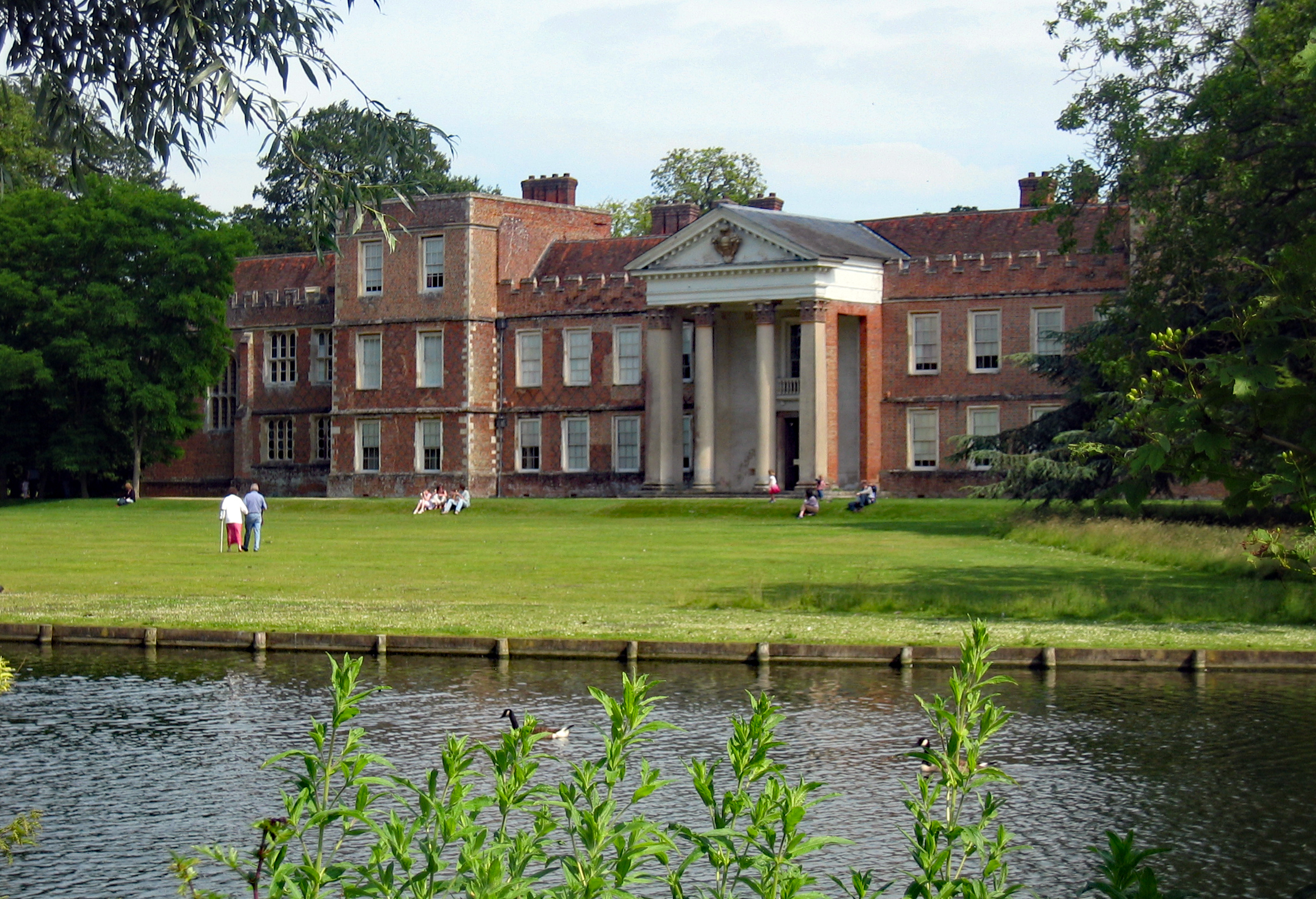
Beaurepaire, Hampshire

Beaurepaire is a country estate at Sherborne St John in the English county of Hampshire. == History == Beaurepaire was owned by the Brocas family from...

St James' Church, Bramley

The Church of St James in Bramley, Hampshire, England was built in the Norman period and has been added to since. It is a Grade I listed building. ��2...

The Vyne Chapel

The Vyne Chapel is a Grade I listed Church of England chapel in The Vyne, Hampshire. The chapel's origins are early modern. The chapel is noted for its...

The Vyne

The Vyne is a Grade I listed 16th-century country house in the parish of Sherborne St John, near Basingstoke, in Hampshire, England. The house was first...

Little London, Tadley, Hampshire

Little London is a village situated between the North Hampshire Downs and the gravel plains of the Kennet valley, 7 miles (11 km) north of Basingstoke...

Bramley Training Area

Bramley Training Area is a British Army training camp, located south of the village of Bramley, Hampshire. Opened during World War I as an ammunition depot...

Bramley, Hampshire

Bramley is a village and parish in Hampshire, England. In the 2001 census it had a population of 3,348. It has a village shop, bakery, estate agency, pub...

Nearby Amenities

Located within 500m of 51.320165,-1.0880873
Beaurepaire House
Building: house
Historic: house
Source: NPE
Lat/Long: 51.3190919/-1.0901386
The data included in this document is from www.openstreetmap.org. The data is made available under ODbL.

Have you been to Beaurepaire Park?

Leave your review of Beaurepaire Park below (or comments, questions and feedback).