West Field

Downs, Moorland in Yorkshire

England

West Field

Recycled fencing This fence running across the River Don flood bank is largely constructed from old narrow-gauge rail lines, doubtless salvaged from the colliery nearby at Thorne.
Recycled fencing Credit: Lee Davidson

West Field is a picturesque region located in the county of Yorkshire, England. It is renowned for its stunning natural beauty, characterized by its rolling downs and expansive moorland. Stretching over a vast area, West Field captivates visitors with its serene and tranquil atmosphere.

The downs of West Field are a highlight of the region, featuring gentle slopes and lush greenery. These grassy hills provide breathtaking panoramic views of the surrounding countryside, making it a popular spot for hikers and nature enthusiasts. Walking trails crisscross the downs, allowing visitors to explore the area and discover its hidden gems.

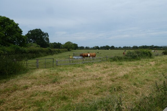
In addition to the downs, West Field is also home to expansive moorland. Characterized by its vast open spaces and heather-covered hills, the moorland provides a unique and captivating landscape. Moorland wildlife, such as grouse and red deer, can often be spotted roaming freely in their natural habitat.

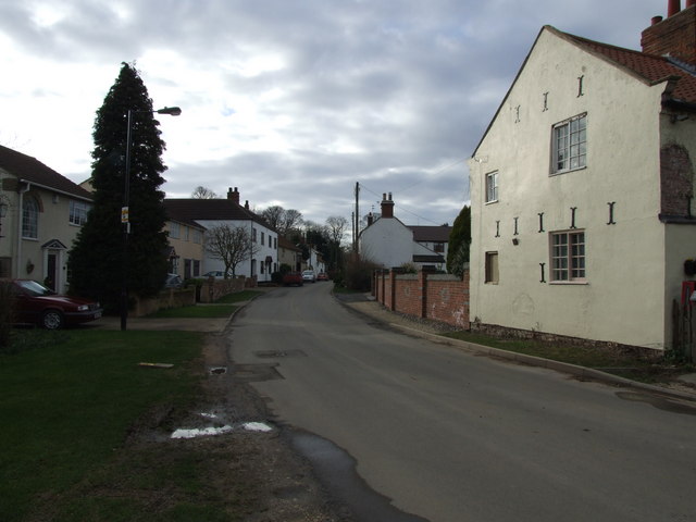
West Field offers a range of recreational activities for visitors to enjoy. The area is dotted with charming villages and towns, where visitors can experience traditional Yorkshire culture and hospitality. Outdoor enthusiasts can partake in activities such as cycling, horse riding, and birdwatching, making West Field a haven for nature lovers.

The region's climate is typically mild, with moderate rainfall throughout the year. This contributes to the lush greenery and diverse array of flora and fauna found in West Field. Whether it's a leisurely stroll through the downs or an adventurous hike across the moorland, West Field offers a captivating and immersive experience in the heart of Yorkshire's natural beauty.

If you have any feedback on the listing, please let us know in the comments section below.
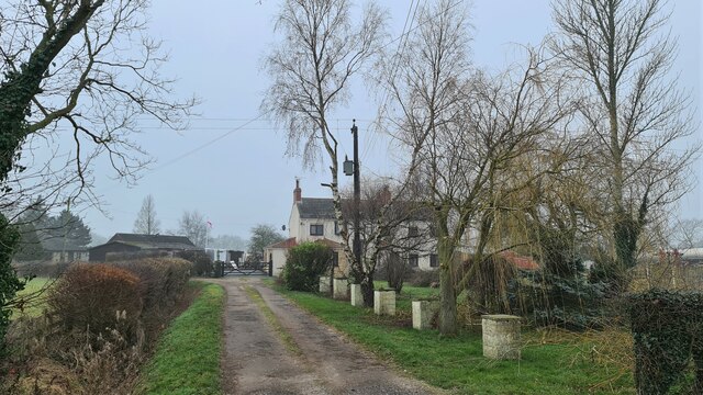
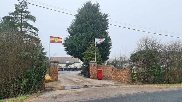
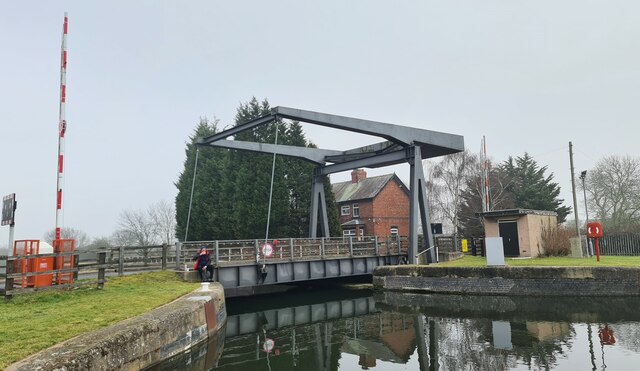
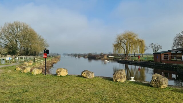
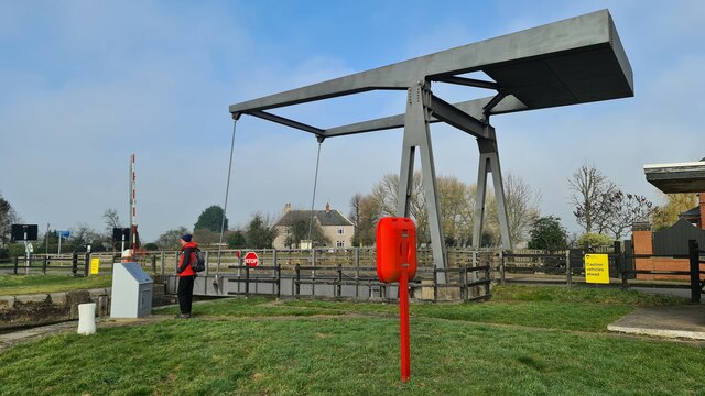
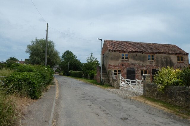
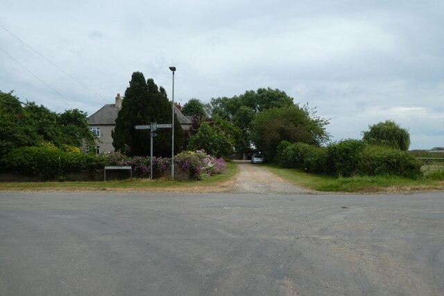
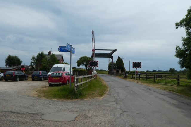
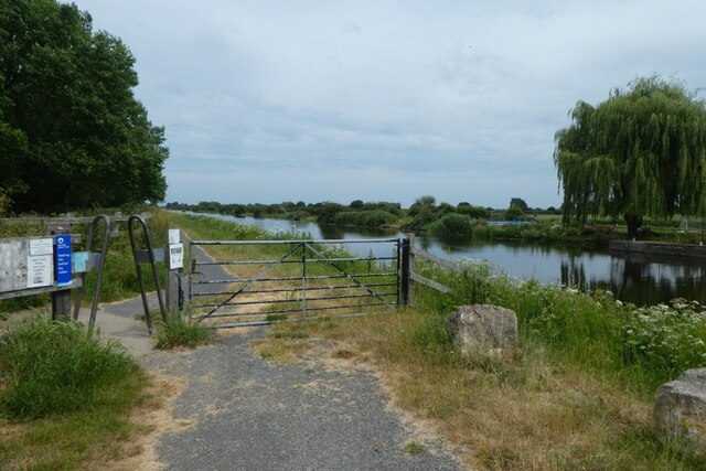
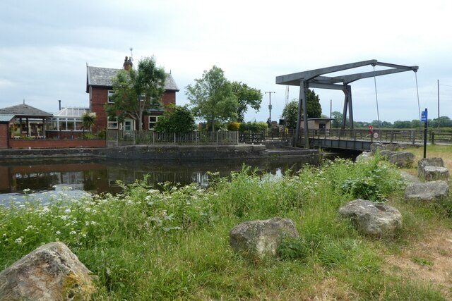
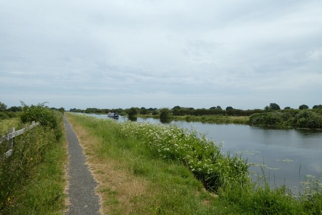
West Field Images

Images are sourced within 2km of 53.617505/-1.0434544 or Grid Reference SE6313. Thanks to Geograph Open Source API. All images are credited.

Recycled fencing This fence running across the River Don flood bank is largely constructed from old narrow-gauge rail lines, doubtless salvaged from the colliery nearby at Thorne.
Recycled fencing
This fence running across the River Don flood bank is largely constructed from old narrow-gauge rail lines, doubtless salvaged from the colliery nearby at Thorne.
Sheffield and South Yorkshire Navigation at Stainforth The morning mists had just lifted
Sheffield and South Yorkshire Navigation at Stainforth
The morning mists had just lifted
Hull and Barnsley and Great Central Joint Railway bridge The line below opened in 1916 and didn't last very long, all being closed by 1969, see Wiki; <span class="nowrap"><a title="https://en.wikipedia.org/wiki/Hull_and_Barnsley_and_Great_Central_Joint_Railway" rel="nofollow ugc noopener" href="https://en.wikipedia.org/wiki/Hull_and_Barnsley_and_Great_Central_Joint_Railway">Link</a><img style="margin-left:2px;" alt="External link" title="External link - shift click to open in new window" src="https://s1.geograph.org.uk/img/external.png" width="10" height="10"/></span>
Hull and Barnsley and Great Central Joint Railway bridge
The line below opened in 1916 and didn't last very long, all being closed by 1969, see Wiki; LinkExternal link
White Gate Farm
White Gate Farm
Remembering the Royal Regiment of Fusiliers Flying at entrance to Brason Transport's depot
Remembering the Royal Regiment of Fusiliers
Flying at entrance to Brason Transport's depot
Kirkhouse Green road bridge Across the New Junction Canal
Kirkhouse Green road bridge
Across the New Junction Canal
The New Junction Canal At Top Lane Bridge
The New Junction Canal
At Top Lane Bridge
Top Lane Bridge On the New Junction Canal
Top Lane Bridge
On the New Junction Canal
Briathwaite Lane Looking along Braithwaite Lane in the village of Braithwaite. The road forms part of National Cycle Network route 62.
Briathwaite Lane
Looking along Braithwaite Lane in the village of Braithwaite. The road forms part of National Cycle Network route 62.
Junction near Braithwaite Hall Farm Braithwaite Lane meets Top Lane in the village.
Junction near Braithwaite Hall Farm
Braithwaite Lane meets Top Lane in the village.
Top Lane Bridge and car park Looking along Top Lane towards the bridge over New Junction Canal. National Cycle Network route 62 leaves the road and heads along the canal to the left.
Top Lane Bridge and car park
Looking along Top Lane towards the bridge over New Junction Canal. National Cycle Network route 62 leaves the road and heads along the canal to the left.
Gate near Top Lane Bridge National Cycle Network route 62 runs along the towpath beside New Junction Canal.
Gate near Top Lane Bridge
National Cycle Network route 62 runs along the towpath beside New Junction Canal.
Top Lane Bridge and house National Cycle Network route 62 runs along the towpath beside New Junction Canal.
Top Lane Bridge and house
National Cycle Network route 62 runs along the towpath beside New Junction Canal.
Canal north of Top Lane Bridge National Cycle Network route 62 runs along the towpath beside New Junction Canal.
Canal north of Top Lane Bridge
National Cycle Network route 62 runs along the towpath beside New Junction Canal.
Cattle beside the canal towpath Looking into a field from National Cycle Network route 62 as it runs along the towpath beside New Junction Canal.
Cattle beside the canal towpath
Looking into a field from National Cycle Network route 62 as it runs along the towpath beside New Junction Canal.
Fields beside the canal Looking across farmland from National Cycle Network route 62 as it runs along the towpath beside New Junction Canal.
Fields beside the canal
Looking across farmland from National Cycle Network route 62 as it runs along the towpath beside New Junction Canal.
Towpath approaching Kirkhouse Green Bridge National Cycle Network route 62 runs along the towpath beside New Junction Canal.
Towpath approaching Kirkhouse Green Bridge
National Cycle Network route 62 runs along the towpath beside New Junction Canal.
Canal path south of Kirkhouse Green Bridge National Cycle Network route 62 runs along the towpath beside New Junction Canal.
Canal path south of Kirkhouse Green Bridge
National Cycle Network route 62 runs along the towpath beside New Junction Canal.
Show me another place!

West Field is located at Grid Ref: SE6313 (Lat: 53.617505, Lng: -1.0434544)

Division: West Riding

Unitary Authority: Doncaster

Police Authority: South Yorkshire

What 3 Words

///sends.stupidly.below. Near Stainforth, South Yorkshire

Nearby Locations

West Field

Related Wikis

Stainforth railway station

Stainforth railway station was a station on the South Yorkshire Railway's line between Doncaster and Thorne, serving the town of Stainforth, South Yorkshire...

Fishlake

Fishlake is a village and civil parish in the Metropolitan Borough of Doncaster. It was historically part of the West Riding of Yorkshire until 1974....

Kirk Bramwith

Kirk Bramwith is a village and civil parish in the Metropolitan Borough of Doncaster in South Yorkshire, England. It had a population of 200 in 2001,...

Bramwith railway station

Bramwith railway station was a small station on the South Yorkshire Railway's line between Doncaster and Thorne. It served the village of Kirk Bramwith...

Have you been to West Field?

Leave your review of West Field below (or comments, questions and feedback).