Anchor Plain

Downs, Moorland in Yorkshire Ryedale

England

Anchor Plain

Pottery Lane, north of Strensall
Pottery Lane, north of Strensall Credit: Ian S

Anchor Plain is a picturesque area located in Yorkshire, England. It is situated in the heart of the Yorkshire Downs and is surrounded by magnificent moorland. The plain itself is a vast expanse of open land, characterized by its gently rolling hills and lush green meadows.

The Yorkshire Downs, which surround Anchor Plain, are known for their stunning natural beauty and are a popular destination for outdoor enthusiasts. The Downs are home to a diverse range of wildlife, including various bird species, deer, and rabbits. Visitors can enjoy long walks and hikes, taking in the breathtaking views of the countryside.

The moorland that borders Anchor Plain adds to the area's charm. It is a wild and rugged landscape, covered in heather and bracken. The moors are dotted with quaint villages and historic landmarks, such as ancient stone circles and burial mounds. These features provide a glimpse into the rich history and cultural heritage of the region.

Anchor Plain itself is a tranquil and peaceful place, offering a sense of serenity and escape from the bustling city life. The plain is a haven for nature lovers, with an abundance of flora and fauna to be discovered. It is also a perfect spot for picnics, with its wide open spaces and stunning vistas.

Overall, Anchor Plain, with its proximity to the Yorkshire Downs and moorland, offers a unique and captivating experience for those seeking to immerse themselves in the beauty of the English countryside.

If you have any feedback on the listing, please let us know in the comments section below.
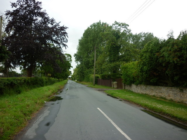
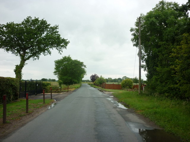
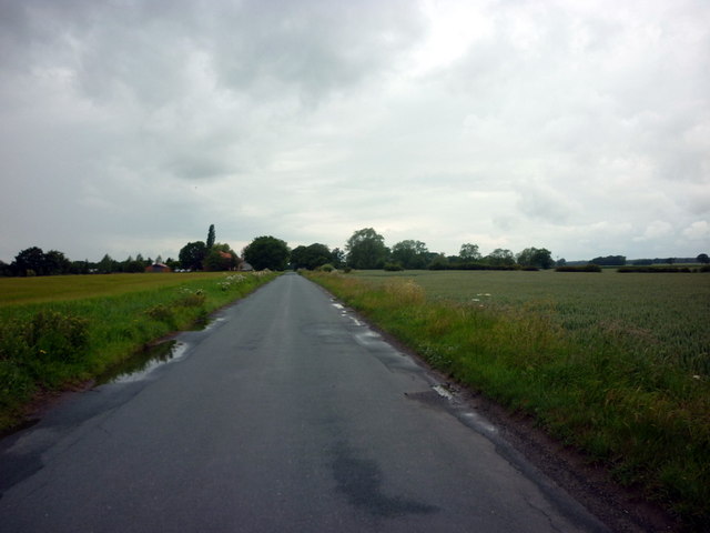
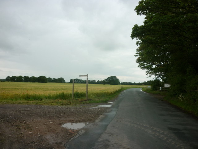
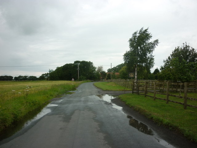
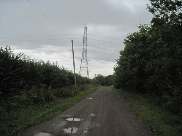
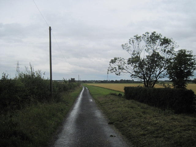
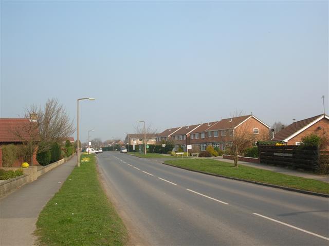
Anchor Plain Images

Images are sourced within 2km of 54.064354/-1.0363496 or Grid Reference SE6363. Thanks to Geograph Open Source API. All images are credited.

Pottery Lane, north of Strensall
Pottery Lane, towards Sutton-on-the-Forest
Pottery Lane, near Oakwood Farm
A bridleway leading to Strensall, from Pottery Lane
Pottery Lane at Forest Hill Farm
Carr Lane at Hundred Acre Farm
Ings  Lane  to  Lilling  Green The Centenary Way comes along this track from the farm.
Ings Lane to Lilling Green
The Centenary Way comes along this track from the farm.
New  Lane  south  of  West  Lilling This lane runs down to Lilling Low Lane. On the Centenary Way.
New Lane south of West Lilling
This lane runs down to Lilling Low Lane. On the Centenary Way.
Former line of canal This is the feature shown as an earthwork just north of Lock House which is shown in <a href="https://www.geograph.org.uk/photo/3908748">SE6461 : Former locks on river Foss Navigation</a>. In fact it is the former alignment of the cut for the River Foss Navigation.
Former line of canal
This is the feature shown as an earthwork just north of Lock House which is shown in SE6461 : Former locks on river Foss Navigation. In fact it is the former alignment of the cut for the River Foss Navigation.
Parish boundaries north of Lock House In the foreground is the earthworks for the River Foss Navigation shown in <a href="https://www.geograph.org.uk/photo/3908754">SE6462 : Former line of canal</a>. Where the earthwork ends and the field starts is the boundary between Strensall and Sutton-On-The-Forest civil parishes. the hedge running into the distance along the right of the field is the boundary between Sutton-On-The-Forest and Lillings Ambo civil parishes.
Parish boundaries north of Lock House
In the foreground is the earthworks for the River Foss Navigation shown in SE6462 : Former line of canal. Where the earthwork ends and the field starts is the boundary between Strensall and Sutton-On-The-Forest civil parishes. the hedge running into the distance along the right of the field is the boundary between Sutton-On-The-Forest and Lillings Ambo civil parishes.
Former R.A.F. East Moor: aerial 2014 See: <span class="nowrap"><a title="http://en.wikipedia.org/wiki/RAF_East_Moor" rel="nofollow ugc noopener" href="http://en.wikipedia.org/wiki/RAF_East_Moor">Link</a><img style="margin-left:2px;" alt="External link" title="External link - shift click to open in new window" src="https://s1.geograph.org.uk/img/external.png" width="10" height="10"/></span>
Former R.A.F. East Moor: aerial 2014
See: LinkExternal link
Bridge Over Whitecarr Beck Looking east to the bridge over Whitecarr Beck.
Bridge Over Whitecarr Beck
Looking east to the bridge over Whitecarr Beck.
Low Roans Farm Looking SW from the road to the barns at Low Roans Farm.
Low Roans Farm
Looking SW from the road to the barns at Low Roans Farm.
The Road to Strensall from Sheriff Hutton Considering its location, the road in the photograph is surprisingly busy
The Road to Strensall from Sheriff Hutton
Considering its location, the road in the photograph is surprisingly busy
The Road from Strensall to Sheriff Hutton At this point the road is crossing Anchor Plain. The buildings in the distance belong to Brickyard Farm
The Road from Strensall to Sheriff Hutton
At this point the road is crossing Anchor Plain. The buildings in the distance belong to Brickyard Farm
The Road to Strensall from Sheriff Hutton The traffic was lighter than usual
The Road to Strensall from Sheriff Hutton
The traffic was lighter than usual
The Home Ground of Sheriff Hutton Bridge Cricket Club Sheriff Hutton Bridge sounds an enterprising cricket club. Not only has it an enviable ground but it also persuades local people to sponsor at least some of its matches
The Home Ground of Sheriff Hutton Bridge Cricket Club
Sheriff Hutton Bridge sounds an enterprising cricket club. Not only has it an enviable ground but it also persuades local people to sponsor at least some of its matches
The Strensall To Sheriff Hutton Road And deserted in the opposite direction
The Strensall To Sheriff Hutton Road
And deserted in the opposite direction
Show me another place!

Anchor Plain is located at Grid Ref: SE6363 (Lat: 54.064354, Lng: -1.0363496)

Division: North Riding

Administrative County: North Yorkshire

District: Ryedale

Police Authority: North Yorkshire

What 3 Words

///organic.chickens.pianists. Near Strensall, North Yorkshire

Nearby Locations

Anchor Plain

Related Wikis

Lillings Ambo

Lillings Ambo is a civil parish in North Yorkshire, England. It is between the villages of Strensall and Sheriff Hutton, and its southern edge is the border...

Strensall

Strensall is a village in the Strensall with Towthorpe civil parish in the unitary authority of the City of York in North Yorkshire, England, on the River...

Strensall railway station

Strensall railway station was a minor railway station serving the village of Strensall in North Yorkshire, England. == History == It is situated on the...

Strensall with Towthorpe

Strensall with Towthorpe is a civil parish in the unitary authority area of the City of York in North Yorkshire, England. According to the 2011 census...

Nearby Amenities

Located within 500m of 54.064354,-1.0363496
The data included in this document is from www.openstreetmap.org. The data is made available under ODbL.

Have you been to Anchor Plain?

Leave your review of Anchor Plain below (or comments, questions and feedback).