Baysdale Moor

Downs, Moorland in Yorkshire Scarborough

England

Baysdale Moor

Shooting Box The building marked on the map as 'Shooting Box'.
Shooting Box Credit: T Eyre

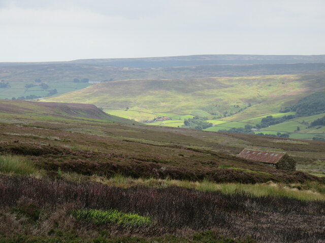
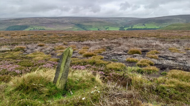
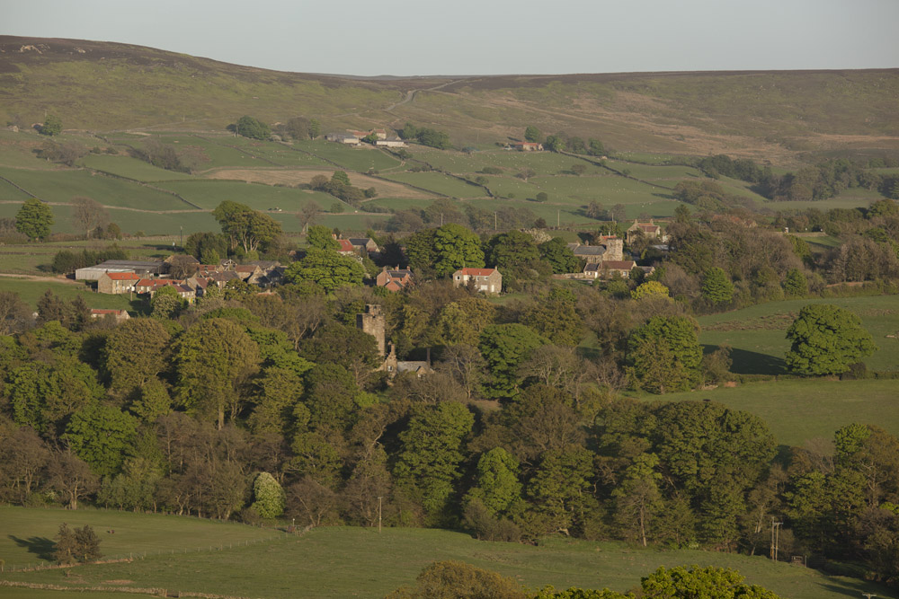
Baysdale Moor is a stunning and vast expanse of moorland located in the North York Moors National Park, in the county of Yorkshire, England. Covering an area of approximately 10 square kilometers, it is a captivating landscape characterized by rolling hills, heather-covered moorlands, and picturesque valleys.

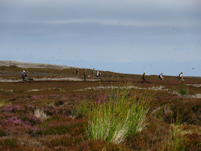
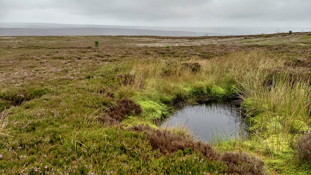
Situated near the village of Stokesley, Baysdale Moor offers a unique and tranquil experience for nature enthusiasts and hikers. The moorland is rich in biodiversity, hosting a wide range of plant and animal species. Visitors can expect to encounter a variety of bird species, such as the curlew, lapwing, and golden plover, as well as native mammals like the roe deer and mountain hare.

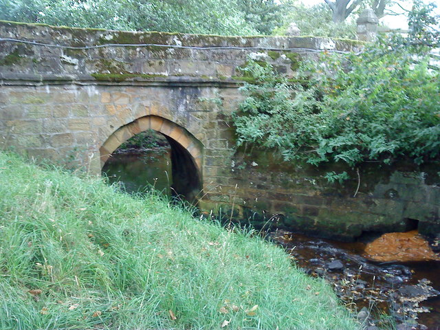
The moorland's beauty is enhanced by its dramatic topography, with deep valleys and steep slopes, providing breathtaking panoramic views. It is renowned for its wild and rugged landscape, making it a popular destination for outdoor activities such as hiking, cycling, and birdwatching.

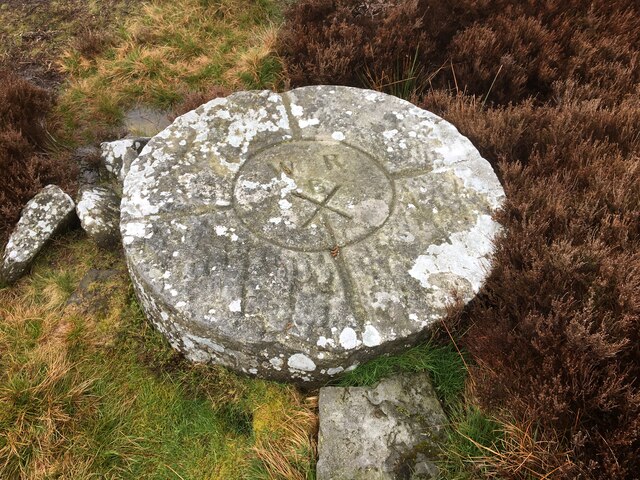
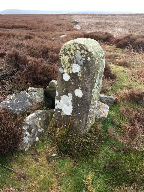
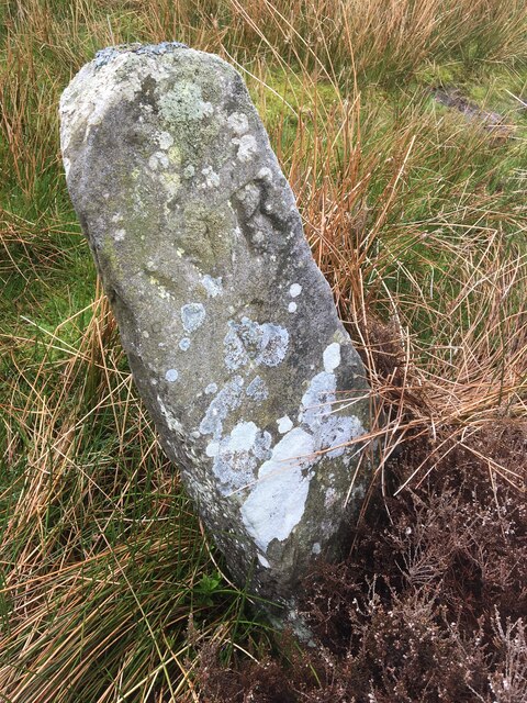
In addition to its natural splendor, Baysdale Moor also holds historical significance. The area is dotted with remnants of ancient settlements, including Bronze Age burial mounds and stone circles, offering a glimpse into the region's rich past.

Baysdale Moor showcases the diversity and natural beauty of the Yorkshire countryside. Its unspoiled and captivating landscapes, combined with its historical and ecological importance, make it a must-visit destination for nature lovers and those seeking a peaceful retreat in the heart of the North York Moors.

If you have any feedback on the listing, please let us know in the comments section below.

Baysdale Moor Images

Images are sourced within 2km of 54.432631/-1.032693 or Grid Reference NZ6204. Thanks to Geograph Open Source API. All images are credited.

Shooting Box The building marked on the map as 'Shooting Box'.
Shooting Box
The building marked on the map as 'Shooting Box'.
Grouse shoot Grouse shoot in progress on Baysdale Moor.
Grouse shoot
Grouse shoot in progress on Baysdale Moor.
Grain Plantings The top of Baysdale with the conifer plantations of Grain Planting West and Grain Planting East.
Grain Plantings
The top of Baysdale with the conifer plantations of Grain Planting West and Grain Planting East.
Standing stone above Westerdale
Pond, Great Hograh Moor
Baysdale Cross view Looking NE, there was a good breeze at this point.
Baysdale Cross view
Looking NE, there was a good breeze at this point.
Small Copper Small Copper on The Flagged Road.
Small Copper
Small Copper on The Flagged Road.
Near Armouth Wath Heather near Armouth Wath.
Near Armouth Wath
Heather near Armouth Wath.
Baysdale Moor Looking NE.
Baysdale Moor
Looking NE.
Boundary stone, Middle Head Pre-19th-century. See North York Moors Historic Environment Record (HER) 8197.
Boundary stone, Middle Head
Pre-19th-century. See North York Moors Historic Environment Record (HER) 8197.
Boundary stone, Middle Head A post medieval parish boundary and following the western boundary of the Baysdale Estate; marked by at least ten boundary stones.
See North York Moors Historic Environment Record (HER) No: 8196.
Boundary stone, Middle Head
A post medieval parish boundary and following the western boundary of the Baysdale Estate; marked by at least ten boundary stones. See North York Moors Historic Environment Record (HER) No: 8196.
The Cheese Stones’ rock fonts Elgee suggests the name Cheese Stones, “probably” originates because the rock was used in local cheese presses. Now that may be the case but I do not understand why rock from this particular outcrop should be used for pressing cheeses.

In the same article, appearing in the Northern Weekly Gazette in 1902, the future curator of Middlesbrough’s Dorman Museum, also opines that the “rock fonts were carved out by Neolithic man, and used as sacrificial altars in the burial of their dead whose tumuli are in the immediate vicinity”. Although he concedes that natural weathering by rainwater containing gritty particles swirling around has since enlarged them. But in mitigation, he was just 22 when this was published.

Ten years later, in his classic book, The Moorlands of North-Eastern Yorkshire, Elgee makes no mention of this origin theory.

The Cheese Stones protrude above the heather covered of Middle Rigg, the tongue of Baysdale between Grain Beck and Black Beck. They remind me of the tors of Dartmoor or the Cairngorm plateau.

Their origin though could hardly be more different. These true tors are granite and formed deep underground during the cooling of volcanic rock 400 million years ago. Over the intervening millennia and successive ice ages the softer ground has crept downhill by a process called solifluction.

By contrast, the Cheese Stones are the last fragments of a stratum of Oolite sandstone which formerly covered the Baysdale Moors and which has long since been eroded away.

For sources see my blog <span class="nowrap"><a title="http://www.fhithich.uk/?p=29959" rel="nofollow ugc noopener" href="http://www.fhithich.uk/?p=29959">Link</a><img style="margin-left:2px;" alt="External link" title="External link - shift click to open in new window" src="https://s1.geograph.org.uk/img/external.png" width="10" height="10"/></span>
The Cheese Stones’ rock fonts
Elgee suggests the name Cheese Stones, “probably” originates because the rock was used in local cheese presses. Now that may be the case but I do not understand why rock from this particular outcrop should be used for pressing cheeses. In the same article, appearing in the Northern Weekly Gazette in 1902, the future curator of Middlesbrough’s Dorman Museum, also opines that the “rock fonts were carved out by Neolithic man, and used as sacrificial altars in the burial of their dead whose tumuli are in the immediate vicinity”. Although he concedes that natural weathering by rainwater containing gritty particles swirling around has since enlarged them. But in mitigation, he was just 22 when this was published. Ten years later, in his classic book, The Moorlands of North-Eastern Yorkshire, Elgee makes no mention of this origin theory. The Cheese Stones protrude above the heather covered of Middle Rigg, the tongue of Baysdale between Grain Beck and Black Beck. They remind me of the tors of Dartmoor or the Cairngorm plateau. Their origin though could hardly be more different. These true tors are granite and formed deep underground during the cooling of volcanic rock 400 million years ago. Over the intervening millennia and successive ice ages the softer ground has crept downhill by a process called solifluction. By contrast, the Cheese Stones are the last fragments of a stratum of Oolite sandstone which formerly covered the Baysdale Moors and which has long since been eroded away. For sources see my blog LinkExternal link
Baysdale Cross Medieval although only the base and stump are extant.

North York Moors Historic Environment Record (HER)No: 3494
Baysdale Cross
Medieval although only the base and stump are extant. North York Moors Historic Environment Record (HER)No: 3494
Large boundary stone on Stony Ridge There is a line of boundary stones along a firebreak in the heather.
Large boundary stone on Stony Ridge
There is a line of boundary stones along a firebreak in the heather.
Small boundary stone on Stony Ridge One of the many boundary stones on Stony Ridge.
Small boundary stone on Stony Ridge
One of the many boundary stones on Stony Ridge.
Old Boundary Marker on Stockdale Moor Estate Boundary Marker called the Cross Stone, on Stockdale Moor. Westerdale parish. Inscribed W R / B. See also <a title="https://www.geograph.org.uk/photo/5238490" href="https://www.geograph.org.uk/photo/5238490">Link</a>.

Milestone Society National ID: YN_WEST01em
Old Boundary Marker on Stockdale Moor
Estate Boundary Marker called the Cross Stone, on Stockdale Moor. Westerdale parish. Inscribed W R / B. See also Link. Milestone Society National ID: YN_WEST01em
Old Boundary Marker on Stockdale Moor Estate Boundary Marker on Stockdale Moor. Westerdale parish. Inscribed W R / B.

Milestone Society National ID: YN_WEST06em
Old Boundary Marker on Stockdale Moor
Estate Boundary Marker on Stockdale Moor. Westerdale parish. Inscribed W R / B. Milestone Society National ID: YN_WEST06em
Old Boundary Marker on Stockdale Moor Estate Boundary Marker on Stockdale Moor. Westerdale parish. Inscribed W R / B.

Milestone Society National ID: YN_WEST07em
Old Boundary Marker on Stockdale Moor
Estate Boundary Marker on Stockdale Moor. Westerdale parish. Inscribed W R / B. Milestone Society National ID: YN_WEST07em
Show me another place!

Baysdale Moor is located at Grid Ref: NZ6204 (Lat: 54.432631, Lng: -1.032693)

Division: North Riding

Administrative County: North Yorkshire

District: Scarborough

Police Authority: North Yorkshire

What 3 Words

///rinses.campsites.below. Near Ingleby Greenhow, North Yorkshire

Nearby Locations

Baysdale Moor

Related Wikis

Basedale Priory

Basedale Priory or Baysdale Priory was a priory in North Yorkshire, England located 8 miles (13 km) East from the parish church of Stokesley. It was a...

Westerdale Preceptory

Westerdale Preceptory was a priory in Westerdale, North Yorkshire, England. The land was donated to the Knights Templar by Guido de Bovingcourt in 1203...

Westerdale

Westerdale is a village, civil parish and dale within the Scarborough district of North Yorkshire, England. The Esk Valley Walk runs through part of the...

Battersby

Battersby is a hamlet in North Yorkshire, England. It lies on the edge of the North York Moors National Park and within the historic boundaries of the...

Warren Moor Mine

The Warren Moor Mine, was a short-lived mining concern south of Kildale, North Yorkshire, England. Activity at the site was limited to drift mining, and...

Urra Moor

Urra Moor is the highest moor in the North York Moors, North Yorkshire, England. At 1,490 feet (454 m) above sea level it is the highest point in Hambleton...

Battersby railway station

Battersby is a railway station on the Esk Valley Line, which runs between Middlesbrough and Whitby via Nunthorpe. The station, situated 11 miles 4 chains...

Ingleby Greenhow

Ingleby Greenhow is a village and civil parish in the Hambleton district of North Yorkshire, England. It is on the border of the North York Moors and 3...

Have you been to Baysdale Moor?

Leave your review of Baysdale Moor below (or comments, questions and feedback).