West Field
Downs, Moorland in Yorkshire Selby
England
West Field
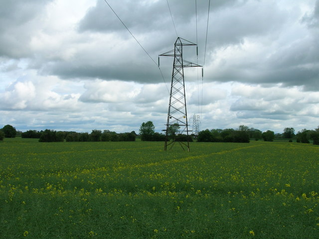
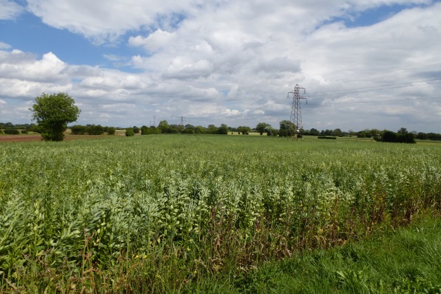
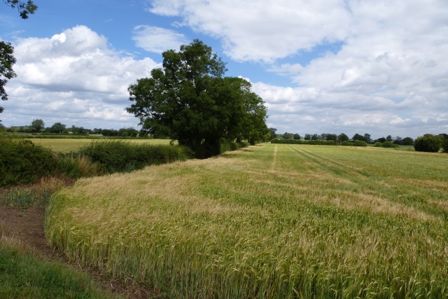
West Field, Yorkshire is a picturesque region located in the northern part of England. It encompasses a vast area of diverse landscapes, including downs and moorland. These natural features provide a stunning backdrop for outdoor enthusiasts and nature lovers alike.
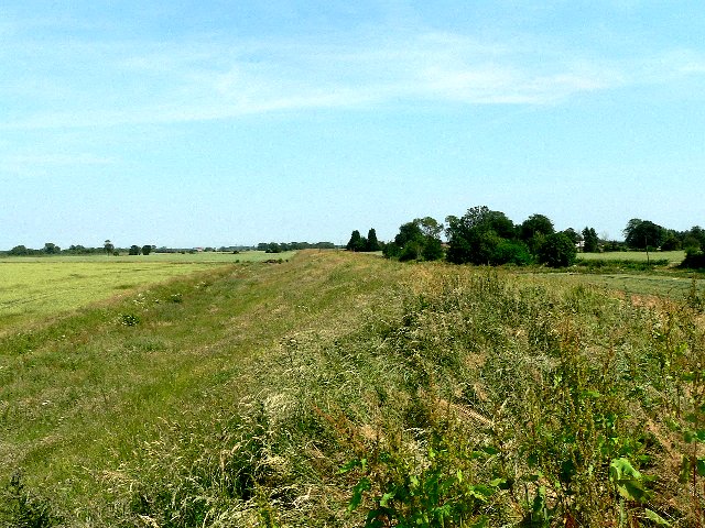
The downs in West Field are characterized by gently rolling hills covered in lush green grass. They offer breathtaking views of the surrounding countryside and are a haven for hikers and walkers. The downs are also home to a variety of wildlife, including rabbits, hares, and numerous species of birds.
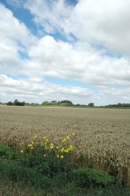
The moorland in West Field is a distinctive feature of the region. It consists of vast expanses of open, heather-covered hills and valleys. The moors are known for their rugged beauty and are a popular destination for adventure seekers and photographers. They provide a unique habitat for several bird species, such as grouse and curlews, as well as various types of wildflowers.
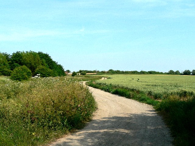
In addition to its natural beauty, West Field boasts several charming villages and towns. These settlements offer a glimpse into the region's rich history and provide visitors with opportunities to explore local culture and heritage. Traditional stone cottages, quaint shops, and friendly locals create a warm and welcoming atmosphere.
Overall, West Field, Yorkshire, with its downs and moorland, offers a captivating blend of natural beauty and cultural heritage. Whether you are seeking outdoor adventures, peaceful walks, or a chance to immerse yourself in the local way of life, this region is a must-visit destination.
If you have any feedback on the listing, please let us know in the comments section below.
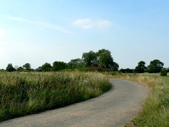
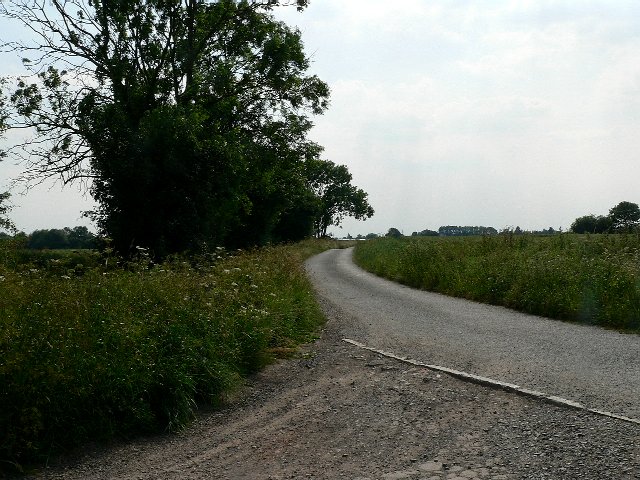
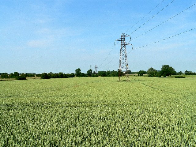
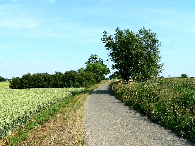
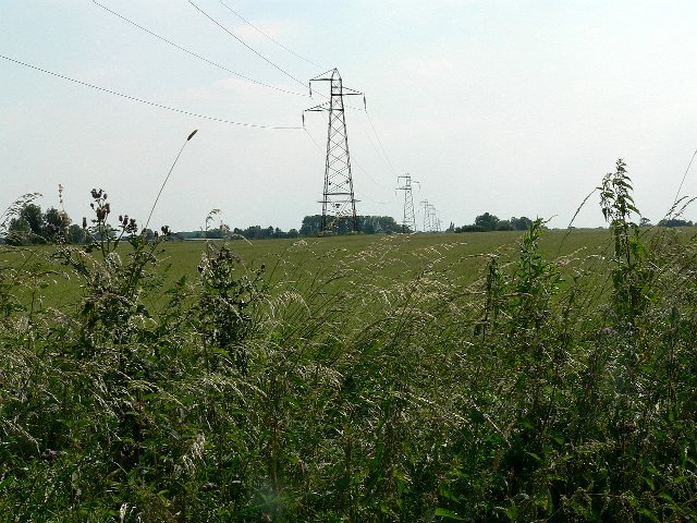
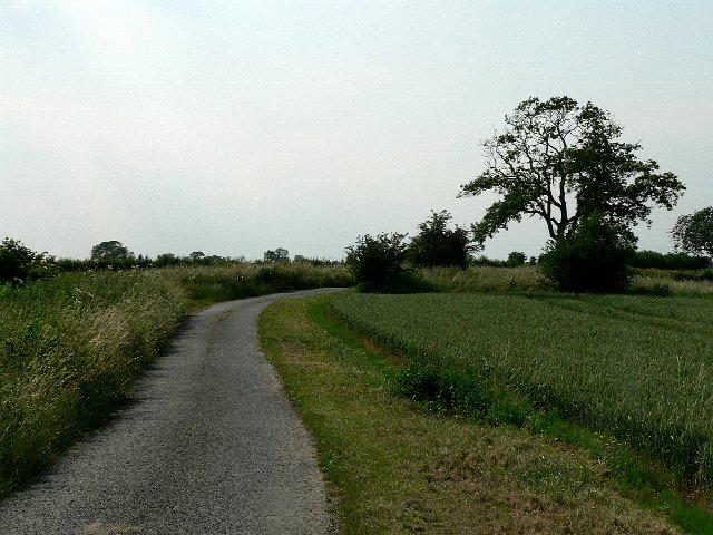
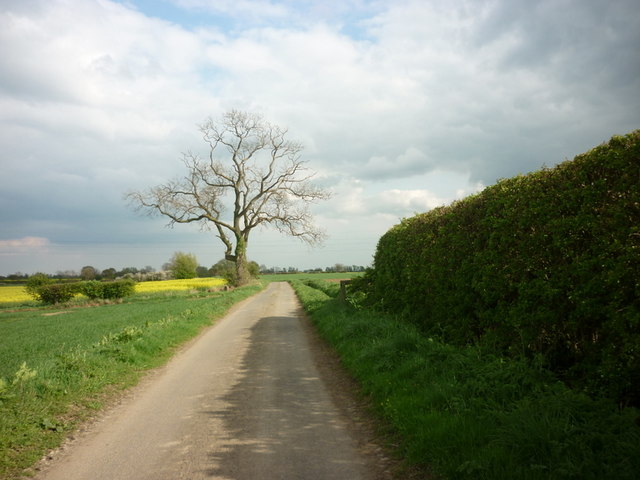
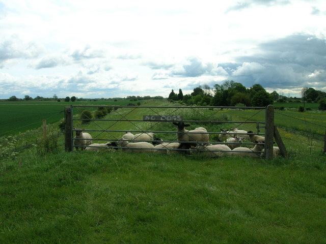
West Field Images
Images are sourced within 2km of 53.825348/-1.0713147 or Grid Reference SE6136. Thanks to Geograph Open Source API. All images are credited.


West Field is located at Grid Ref: SE6136 (Lat: 53.825348, Lng: -1.0713147)
Division: East Riding
Administrative County: North Yorkshire
District: Selby
Police Authority: North Yorkshire
What 3 Words
///occur.melt.mixer. Near Riccall, North Yorkshire
Nearby Locations
Related Wikis

St Mary's Church, Riccall
St Mary's Church is the parish church of Riccall, a village north of Selby in North Yorkshire, England. The oldest part of the church are the three western...
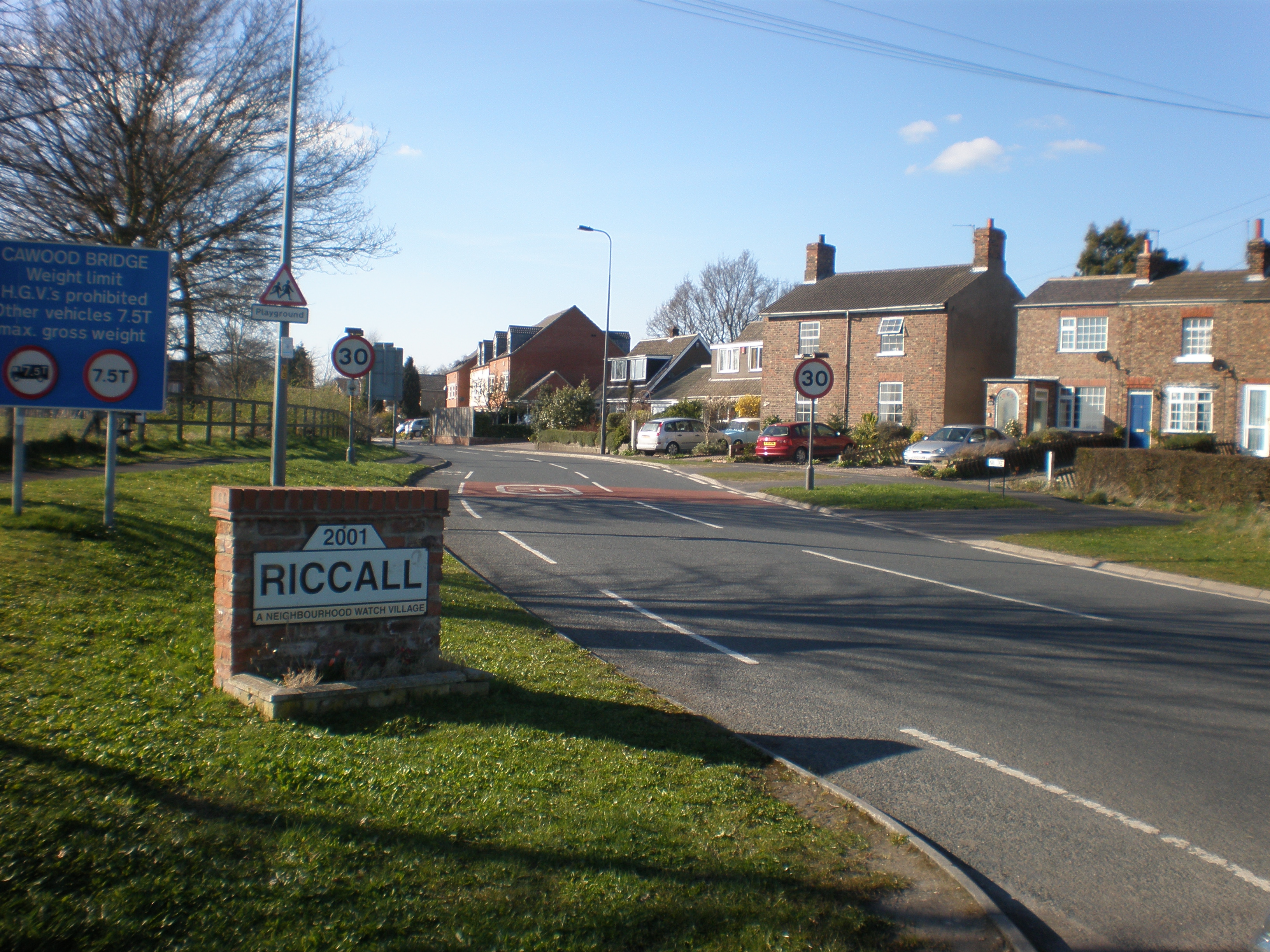
Riccall
Riccall is a village and civil parish in North Yorkshire, England, lying 3.5 miles (6 km) to the north of Selby and 9 miles (14 km) south of York. Riccall...

Riccall railway station
Riccall railway station was a railway station which served the village of Riccall, north of Selby, on the East Coast Main Line. It was opened in 1871,...

Riccal Rural District
Riccal was a rural district in the East Riding of Yorkshire, England from 1894 to 1935.It was formed in 1894 from that part of the Selby rural sanitary...

Wistow, North Yorkshire
Wistow is a small village and civil parish just north of Selby, North Yorkshire, England. In the 2011 Census it had 1,333 residents; an increase from 2001...

All Saints' Church, Wistow
All Saints' Church is the parish church of Wistow, a village north-west of Selby in North Yorkshire, in England. There has been a church on the site since...

Kelfield, North Yorkshire
Kelfield is a small village and civil parish in the Selby district of North Yorkshire, England. It was historically part of the East Riding of Yorkshire...
RAF Riccall
RAF Riccall is a former Royal Air Force airfield located 3.1 miles (5 km) north east of Selby, North Yorkshire and 7.9 miles (12.7 km) south west of Elvington...
Nearby Amenities
Located within 500m of 53.825348,-1.0713147Have you been to West Field?
Leave your review of West Field below (or comments, questions and feedback).