Whitewater Common
Downs, Moorland in Nottinghamshire Bassetlaw
England
Whitewater Common
Whitewater Common is a picturesque area located in Nottinghamshire, England. Covering a vast expanse of land, it is known for its diverse natural features, including downs and moorland.
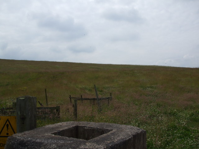
The downs in Whitewater Common are characterized by their rolling hills and grassy slopes. Visitors often admire the panoramic views of the surrounding countryside from the top of these hills. The downs are home to a variety of plant species, including wildflowers and grasses, creating a vibrant and colorful landscape during the summer months.
In contrast to the downs, the moorland in Whitewater Common is a more rugged terrain. Here, visitors can explore the untamed beauty of the area, with its heather-covered hills and bogs. The moorland is home to a wide range of wildlife, including birds, such as grouse and curlews, as well as mammals like hares and foxes. Nature enthusiasts often come to the area to observe and photograph these animals in their natural habitat.
Whitewater Common offers a range of outdoor activities for visitors to enjoy. Hiking and walking trails crisscross the area, providing opportunities for exploration and discovery. Additionally, the downs and moorland are ideal for birdwatching, photography, and picnicking. The area is also popular among nature lovers seeking a peaceful and tranquil retreat from the hustle and bustle of everyday life.
Overall, Whitewater Common is a stunning natural landscape, combining the beauty of downs and moorland. It offers a diverse range of flora and fauna, making it a haven for wildlife enthusiasts and nature lovers alike.
If you have any feedback on the listing, please let us know in the comments section below.
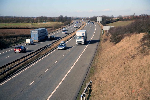
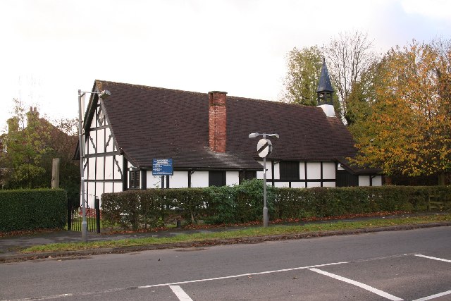
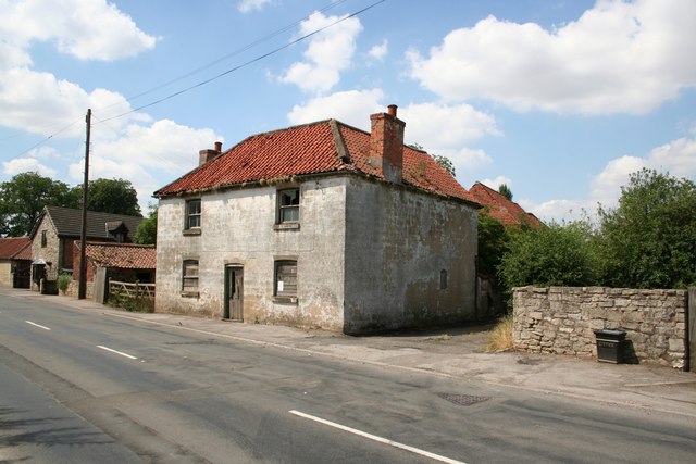
Whitewater Common Images
Images are sourced within 2km of 53.392657/-1.0855399 or Grid Reference SK6088. Thanks to Geograph Open Source API. All images are credited.


Whitewater Common is located at Grid Ref: SK6088 (Lat: 53.392657, Lng: -1.0855399)
Administrative County: Nottinghamshire
District: Bassetlaw
Police Authority: Nottinghamshire
What 3 Words
///reply.sums.baker. Near Bircotes, Nottinghamshire
Nearby Locations
Related Wikis
Styrrup with Oldcotes
Styrrup with Oldcotes is a civil parish in the Bassetlaw district, within the county of Nottinghamshire, England. The overall area had a population of...
Styrrup
Styrrup is a village in the civil parish of Styrrup with Oldcotes on the B6463 road in the Bassetlaw district, in the English county of Nottinghamshire...

Oldcotes Dyke
Oldcotes Dyke is the name of the final section of a river system that drains parts of north Nottinghamshire and the Metropolitan Borough of Rotherham in...

Hermeston Hall
Hermeston Hall is a manor house near to the villages of Oldcotes and Langold, and within the parish or Hodsock, northwestern Nottinghamshire, England....
Have you been to Whitewater Common?
Leave your review of Whitewater Common below (or comments, questions and feedback).