Armsworth Park

Downs, Moorland in Hampshire Winchester

England

Armsworth Park

On the Ox Drove at Chilton Down, Chilton Candover
On the Ox Drove at Chilton Down, Chilton Candover Credit: Colin Park

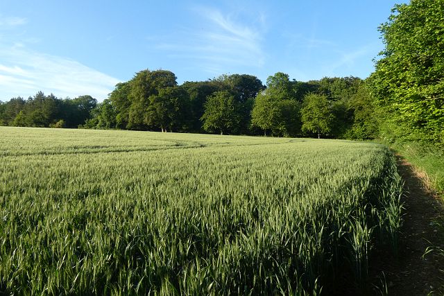
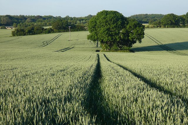
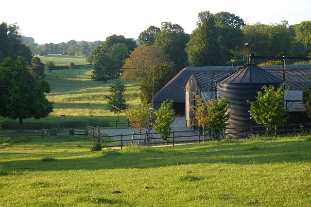
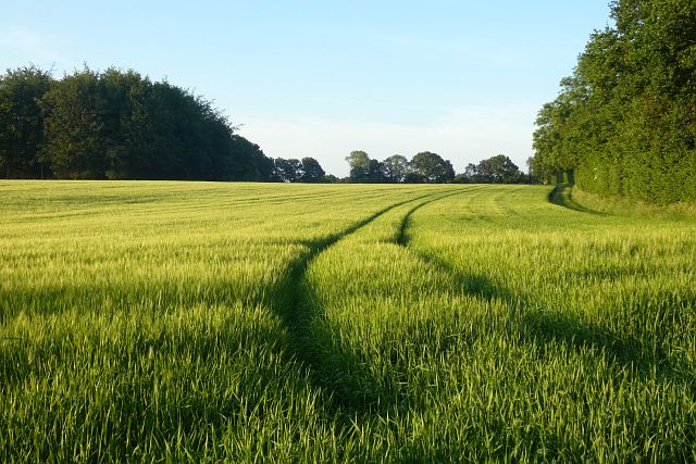
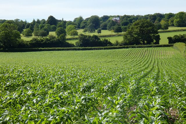
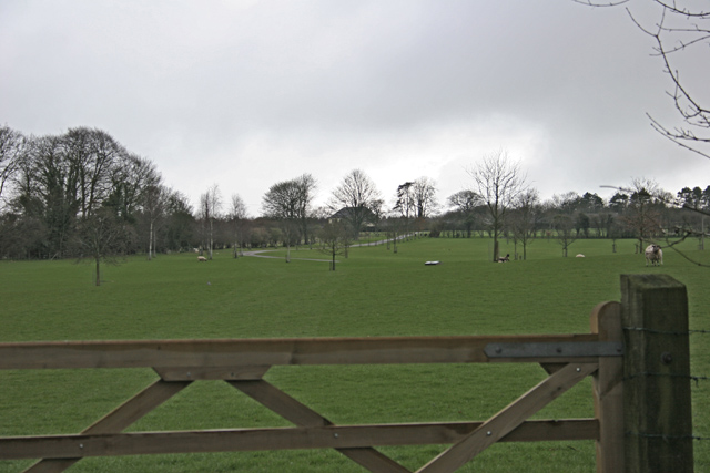
Armsworth Park, located in Hampshire, is a picturesque area that offers visitors a stunning blend of downs and moorland landscapes. Sprawling across a vast expanse of land, the park provides a diverse range of natural features and recreational opportunities.

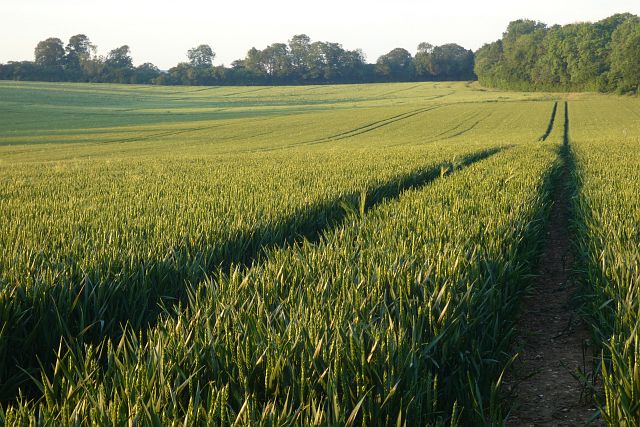
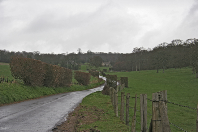
The downs of Armsworth Park are characterized by rolling hills, covered in lush green grasses and scattered with vibrant wildflowers during the summer months. This scenic terrain offers breathtaking views of the surrounding countryside, making it a popular spot for walkers, hikers, and nature enthusiasts. The park is crisscrossed with well-maintained trails, allowing visitors to explore the downs at their own pace and enjoy the tranquility of the countryside.

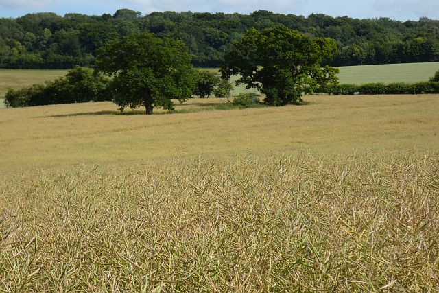
In addition to the downs, Armsworth Park also boasts extensive moorland areas. These rugged landscapes are characterized by open expanses of heather, gorse, and bracken, creating a unique and captivating environment. Moorland birds, such as curlews and lapwings, can often be spotted in this habitat, adding to the park's appeal for birdwatchers.

Armsworth Park is also home to a variety of wildlife, including deer, rabbits, and a range of bird species. The park's diverse ecosystem provides a haven for these creatures, making it an ideal location for wildlife enthusiasts to observe and appreciate nature.

Overall, Armsworth Park is a beautiful natural area, offering visitors a chance to escape the hustle and bustle of everyday life and immerse themselves in the stunning downs and moorland landscapes of Hampshire.

If you have any feedback on the listing, please let us know in the comments section below.

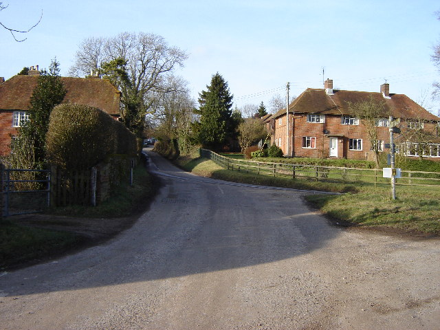
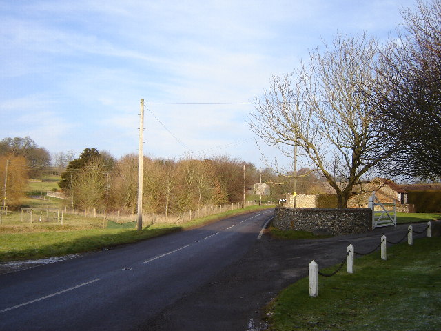
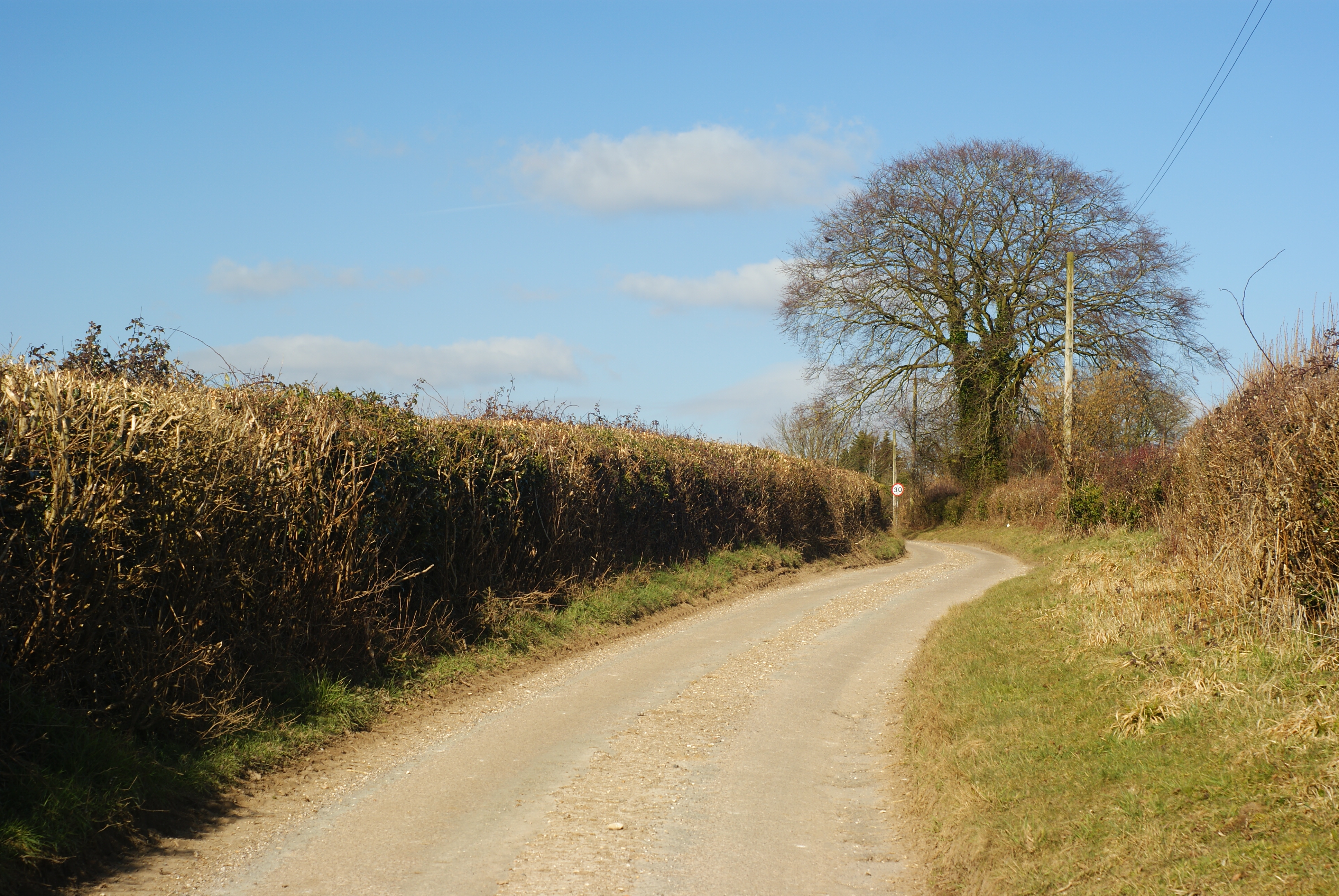
Armsworth Park Images

Images are sourced within 2km of 51.132423/-1.1313203 or Grid Reference SU6037. Thanks to Geograph Open Source API. All images are credited.

On the Ox Drove at Chilton Down, Chilton Candover
Old Direction Sign - Signpost near Newmer Farm, Old Alresford parish Annulus finial - 3 arms; Hampshire Parish Halo by the UC road, in parish of Old Alresford (Winchester District), Newmer Farm, junction of Ferney Lane with Ox Drove Way, by hedge between the road and a field.

To be surveyed

Milestone Society National ID: HA_SU6237
Old Direction Sign - Signpost near Newmer Farm, Old Alresford parish
Annulus finial - 3 arms; Hampshire Parish Halo by the UC road, in parish of Old Alresford (Winchester District), Newmer Farm, junction of Ferney Lane with Ox Drove Way, by hedge between the road and a field. To be surveyed Milestone Society National ID: HA_SU6237
Track and farmland, Old Alresford The Oxdrove Way to the south of Newmer Farm alongside a field of wheat.
Track and farmland, Old Alresford
The Oxdrove Way to the south of Newmer Farm alongside a field of wheat.
Grassland and woodland edges, Wield Looking towards Barton Copse from the bridleway at the southern edge of Wield Wood.
Grassland and woodland edges, Wield
Looking towards Barton Copse from the bridleway at the southern edge of Wield Wood.
Farmland, Old Alresford The corner of a field of wheat to the east of Godsfield Copse.
Farmland, Old Alresford
The corner of a field of wheat to the east of Godsfield Copse.
Farmland, Old Alresford A clump of trees in wheat to the north of Armsworth Park.
Farmland, Old Alresford
A clump of trees in wheat to the north of Armsworth Park.
Farm buildings, pasture and woods, Old Alresford Looking down from the footpath climbing southwards from Lower Lanham.
Farm buildings, pasture and woods, Old Alresford
Looking down from the footpath climbing southwards from Lower Lanham.
Farmland, Old Alresford Spring barley with Serivens Copse to the left of picture.
Farmland, Old Alresford
Spring barley with Serivens Copse to the left of picture.
Farmland, Old Alresford A crop of wheat between Lower and Upper Lanham Farms, looking towards the latter.
Farmland, Old Alresford
A crop of wheat between Lower and Upper Lanham Farms, looking towards the latter.
Farmland, Bighton A footpath passes to the right of the copse beside a crop of oil-seed rape.
Farmland, Bighton
A footpath passes to the right of the copse beside a crop of oil-seed rape.
Farmland, Old Alresford A crop of maize below Upper Lanham with the large modern house at Armsworth Hill appearing across the valley.
Farmland, Old Alresford
A crop of maize below Upper Lanham with the large modern house at Armsworth Hill appearing across the valley.
Farmland, Old Alresford Looking somewhat battered, winter barley beside a footpath to the south-east of Upper Lanham.
Farmland, Old Alresford
Looking somewhat battered, winter barley beside a footpath to the south-east of Upper Lanham.
Farmland, Candovers Oil-seed rape to the south of Chilton Candover.
Farmland, Candovers
Oil-seed rape to the south of Chilton Candover.
Road near Lower Lanham
Pasture near Armsworth Hill Farm
Footpath towards Lower Lanham Difficult to see the line of the footpath in this recently ploughed field.  But the footpath sign is accurate; it heads north from the minor road where we are standing across the field to the left end of the band of trees on the far side.  These trees run south-east to north-west across the middle right of the square.
Footpath towards Lower Lanham
Difficult to see the line of the footpath in this recently ploughed field. But the footpath sign is accurate; it heads north from the minor road where we are standing across the field to the left end of the band of trees on the far side. These trees run south-east to north-west across the middle right of the square.
Barn next to Oxdrove Way The Oxdrove Way (a Hampshire County Council long-distance path) cuts across the extreme north-west corner of the square.  This barn is set back a little from the path (which is out of sight behind the photographer.  The track from the right is from a field to the south of the barn.  To the left (east) of the barn, more farmland.  In the middle distance can be seen a depression in the field with bushes.  This is marked on 1:25K maps as pit (dis) at SU 613358.  There are many in this area.
Barn next to Oxdrove Way
The Oxdrove Way (a Hampshire County Council long-distance path) cuts across the extreme north-west corner of the square. This barn is set back a little from the path (which is out of sight behind the photographer. The track from the right is from a field to the south of the barn. To the left (east) of the barn, more farmland. In the middle distance can be seen a depression in the field with bushes. This is marked on 1:25K maps as pit (dis) at SU 613358. There are many in this area.
Footpath from Bighton Wood In the north-western part of the square, this footpath leaves Bighton Wood and follows the fence-line north-east.  Officially on the left of the fence, it is becoming better established on the right, as there are fewer field boundaries and therefore fewer stiles to cross.  The field on the right is sheep pasture, on the left recently ploughed for arable.
Footpath from Bighton Wood
In the north-western part of the square, this footpath leaves Bighton Wood and follows the fence-line north-east. Officially on the left of the fence, it is becoming better established on the right, as there are fewer field boundaries and therefore fewer stiles to cross. The field on the right is sheep pasture, on the left recently ploughed for arable.
Show me another place!

Armsworth Park is located at Grid Ref: SU6037 (Lat: 51.132423, Lng: -1.1313203)

Administrative County: Hampshire

District: Winchester

Police Authority: Hampshire

What 3 Words

///puzzle.jeep.custodian. Near New Alresford, Hampshire

Related Wikis

Wield

Wield is a civil parish in the East Hampshire district, in the county of Hampshire, England. It includes two neighbouring villages, Upper Wield and Lower...

Upper Wield

Upper Wield is a village in the East Hampshire district of Hampshire, England. It is in the civil parish of Wield. It is 5.5 miles (8.9 km) west of...

Preston Candover Long Barrow

Preston Candover Long Barrow is an unchambered long barrow located near to the village of Preston Candover in the south-eastern English county of Hampshire...

Bighton

Bighton is a village and civil parish in the City of Winchester district of Hampshire, England. According to the 2011 census it had a population of 341...

Chilton Candover

Chilton Candover is a village and former civil parish, now in the parish of Candovers, in the Basingstoke and Deane district, in the county of Hampshire...

Hattingley

Hattingley is a small hamlet in the East Hampshire district of Hampshire, England. == Geography == It is 5 miles (8.0 km) southwest of Alton, just off...

Brown Candover

Brown Candover is a village and former civil parish, now in the parish of Candovers, in the Basingstoke and Deane district, in the county of Hampshire...

Gundleton

Gundleton is a village in Hampshire, England. It is in the civil parish of Bighton. Its nearest railway station is the restored Watercress Line in New...

Nearby Amenities

Located within 500m of 51.132423,-1.1313203
Power: pole
Lat/Long: 51.1349687/-1.1367309
Power: pole
Lat/Long: 51.1350361/-1.135422
Power: pole
Lat/Long: 51.1351/-1.1343062
Power: pole
Lat/Long: 51.1352107/-1.1319325
Power: pole
Lat/Long: 51.1351496/-1.1332433
Power: pole
Lat/Long: 51.1352799/-1.1307021
Power: pole
Lat/Long: 51.1353387/-1.1296069
Power: pole
Lat/Long: 51.1354086/-1.1283159
Power: pole
Lat/Long: 51.1354645/-1.1269729
The data included in this document is from www.openstreetmap.org. The data is made available under ODbL.

Have you been to Armsworth Park?

Leave your review of Armsworth Park below (or comments, questions and feedback).