Wasing Park
Downs, Moorland in Berkshire
England
Wasing Park

Wasing Park is a picturesque estate located in Berkshire, England. Situated amidst the serene countryside, the park covers a vast area of downs and moorland. Spanning approximately 4,000 acres, it offers visitors a tranquil and idyllic setting to explore and enjoy.
The park boasts a diverse landscape, featuring rolling hills, expansive meadows, and heathland. This variety of environments provides a rich habitat for a wide range of flora and fauna. Visitors can spot an array of wildlife, including deer, rabbits, and various bird species as they traverse the park's well-maintained trails and paths.
One of the main attractions at Wasing Park is its historic parkland, which is beautifully preserved and showcases the park's rich heritage. The parkland is home to several ancient trees, some of which are centuries old, adding to the area's natural beauty and creating a sense of timelessness.
For those seeking outdoor activities, Wasing Park offers excellent opportunities for walking, jogging, and cycling. The extensive network of trails allows visitors to explore the park at their own pace, with options suitable for all fitness levels.
In addition to its natural beauty, Wasing Park is also renowned for its events and weddings. The estate features a stunning 18th-century mansion and a charming chapel, making it a popular choice for couples looking for a romantic and picturesque venue.
Overall, Wasing Park in Berkshire is a truly breathtaking destination, offering visitors a chance to immerse themselves in the beauty of nature, enjoy outdoor activities, and experience the charm of a historic estate.
If you have any feedback on the listing, please let us know in the comments section below.
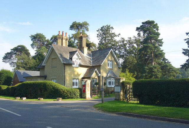
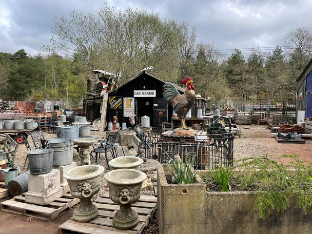
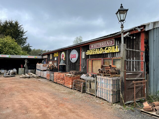
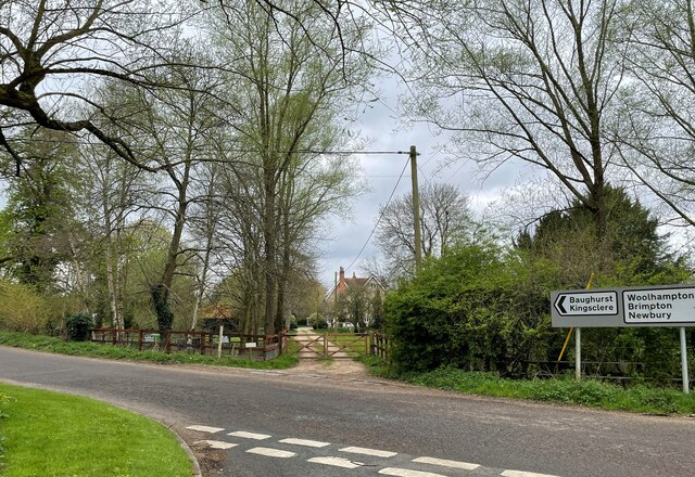
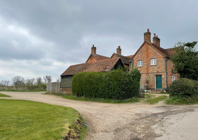
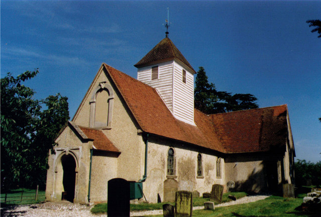
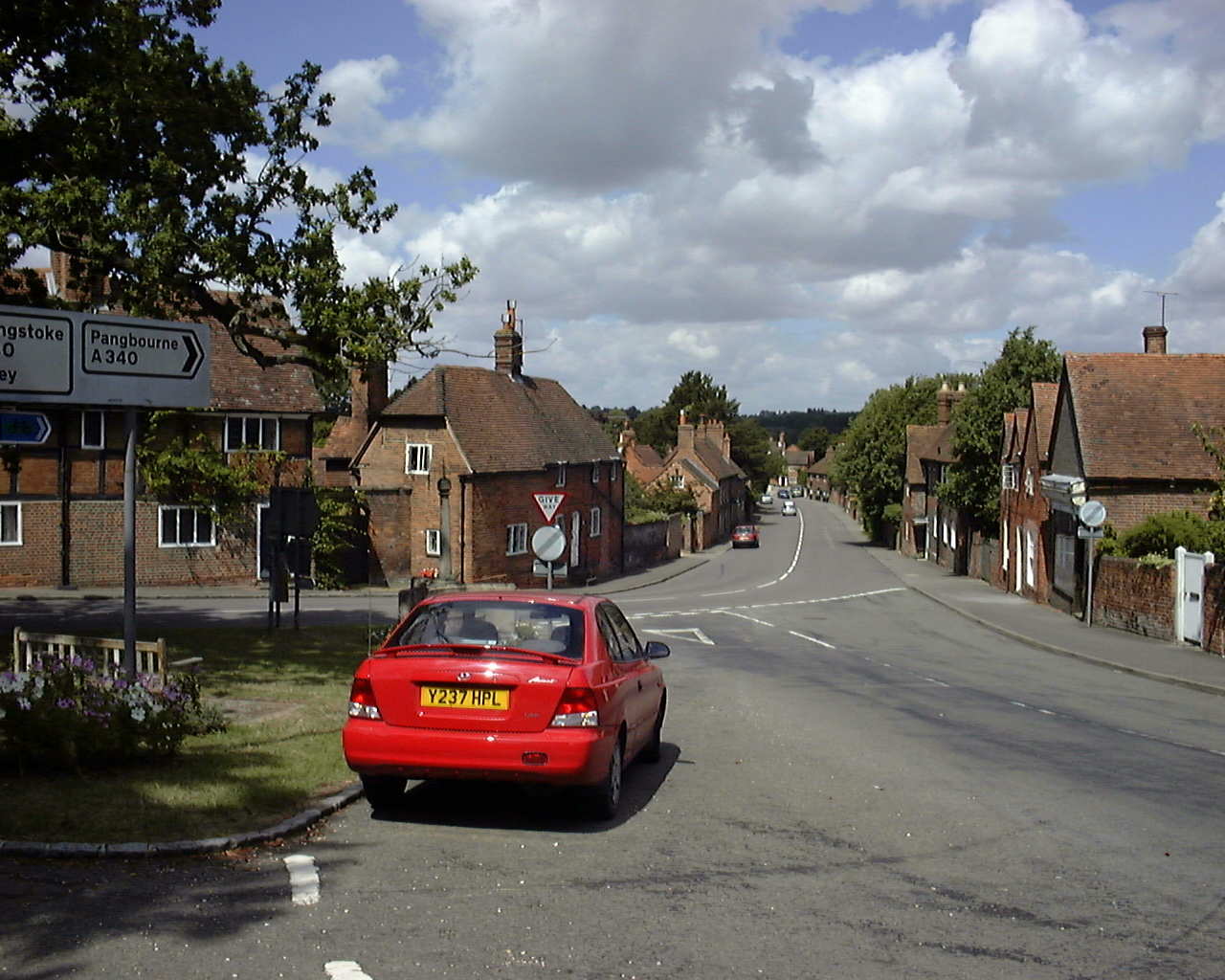
Wasing Park Images
Images are sourced within 2km of 51.378489/-1.1719754 or Grid Reference SU5764. Thanks to Geograph Open Source API. All images are credited.


Wasing Park is located at Grid Ref: SU5764 (Lat: 51.378489, Lng: -1.1719754)
Unitary Authority: West Berkshire
Police Authority: Thames Valley
What 3 Words
///cape.foster.stung. Near Tadley, Hampshire
Nearby Locations
Related Wikis

Brimpton Airfield
Brimpton (Wasing Lower Farm) Airfield is an unlicensed single-runway civilian airfield in the south-east of West Berkshire, United Kingdom. == History... ==
Paices Wood Country Parkland
Paices Wood Country Parkland is a country park on the edge of the village of Aldermaston in Berkshire, England. The parkland is under the management of...

Brimpton Pit
Brimpton Pit is a 1.6-hectare (4.0-acre) geological Site of Special Scientific Interest west of Aldermaston in Berkshire. It is a Geological Conservation...
Wasing
Wasing is an agricultural and woodland village, country estate and civil parish in West Berkshire, England owned almost wholly by the descendants of the...
Wasing Wood Ponds
Wasing Wood Ponds is a 13.5-hectare (33-acre) biological Site of Special Scientific Interest south of Aldermaston in Berkshire.The ponds are special for...

A340 road
The A340 is a major road in the south of England, portions of which are known as the Aldermaston Road, Tadley Hill, Basingstoke Road and Tidmarsh Road...
Aldermaston
Aldermaston is a village and civil parish in Berkshire, England. In the 2011 census, the parish had a population of 1,015. The village is in the Kennet...

Shalford Preceptory
Shalford Preceptory was a preceptory of Knights Hospitaller at Shalford in the civil parish of Brimpton in the English county of Berkshire. It was established...
Nearby Amenities
Located within 500m of 51.378489,-1.1719754Have you been to Wasing Park?
Leave your review of Wasing Park below (or comments, questions and feedback).