Beech Avenue
Downs, Moorland in Oxfordshire Cherwell
England
Beech Avenue

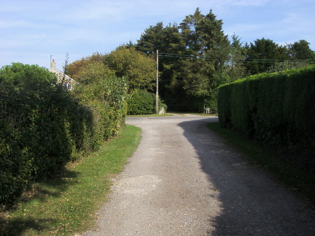
Beech Avenue is a picturesque road located in Oxfordshire, England, known for its stunning natural beauty and serene surroundings. Situated in the heart of the countryside, Beech Avenue is a perfect destination for nature lovers and those seeking tranquility away from the bustling city life.
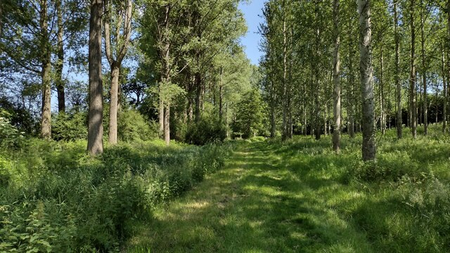
As the name suggests, the avenue is lined with majestic beech trees on both sides, creating a stunning canopy that offers shade and a sense of enchantment. The towering trees, with their vibrant green leaves during the summer months and golden hues in the autumn, provide a breathtaking backdrop for leisurely strolls or scenic drives along the road.
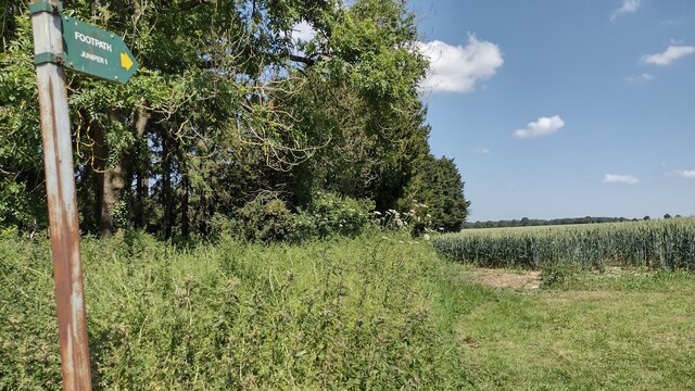
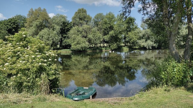
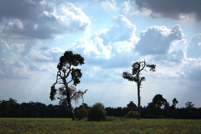
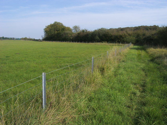
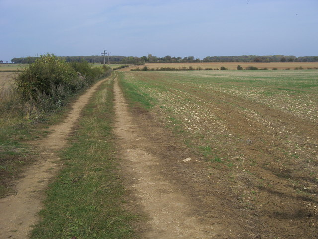
The avenue is nestled within the Downs and Moorland area of Oxfordshire, which further enhances its appeal. This region is renowned for its sprawling meadows, rolling hills, and diverse wildlife, offering visitors a chance to immerse themselves in the beauty of nature. The area is particularly famous for its heather-covered moorlands, which transform into a stunning purple carpet during the late summer months.
Beech Avenue is a popular spot for outdoor activities such as hiking, cycling, and picnicking. The quiet and peaceful ambiance, coupled with the idyllic landscape, makes it an ideal location for relaxation and outdoor recreation.
Overall, Beech Avenue in Oxfordshire is a hidden gem that showcases the beauty of the English countryside. With its lush beech trees, scenic surroundings, and proximity to the Downs and Moorland, it is a must-visit destination for anyone seeking a peaceful retreat in nature.
If you have any feedback on the listing, please let us know in the comments section below.
Beech Avenue Images
Images are sourced within 2km of 51.971462/-1.1616325 or Grid Reference SP5730. Thanks to Geograph Open Source API. All images are credited.


Beech Avenue is located at Grid Ref: SP5730 (Lat: 51.971462, Lng: -1.1616325)
Administrative County: Oxfordshire
District: Cherwell
Police Authority: Thames Valley
What 3 Words
///decently.tiger.broom. Near Brackley, Northamptonshire
Nearby Locations
Related Wikis

Hardwick with Tusmore
Hardwick with Tusmore is a civil parish in Oxfordshire, England. It was formed in 1932 by merger of the parishes of Hardwick (grid reference SP5729) and...

Hardwick, Cherwell
Hardwick is a village in the civil parish of Hardwick with Tusmore about 4.5 miles (7 km) north of Bicester in Oxfordshire. == Manor == The village's toponym...
Tusmore, Oxfordshire
Tusmore is a settlement about 5+1⁄2 miles (9 km) north of Bicester in Oxfordshire. It is the location of the Tusmore country house and estate. == Manor... ==

Cottisford
Cottisford is a village and civil parish in Oxfordshire, about 3.5 miles (5.6 km) south of Brackley in neighbouring Northamptonshire. The parish's northern...
Juniper Hill
Juniper Hill is a hamlet in the civil parish of Cottisford in Oxfordshire, England, 2 miles (3.2 km) south of Brackley in neighbouring Northamptonshire...

Hethe
Hethe is a village and civil parish about 4.5 miles (7.2 km) north of Bicester in Oxfordshire, England. == Manor == The village's toponym comes from the...

RAF Croughton
Royal Air Force Croughton or more simply RAF Croughton is a Royal Air Force station which is currently a United States Air Force communications station...

Stoke Lyne
Stoke Lyne is a village and civil parish about 4 miles (6.4 km) north of Bicester, Oxfordshire in southern England. == Etymology == The name Stoke Lyne...
Nearby Amenities
Located within 500m of 51.971462,-1.1616325Have you been to Beech Avenue?
Leave your review of Beech Avenue below (or comments, questions and feedback).