Hawley

Settlement in Kent Dartford

England

Hawley

Start of the M25, Dartford The M25 almost forms a complete ring around the edge of London.  However the ring is broken between Dartford in Kent and West Thurrock on the north side of the Thames, with the A282 Dartford tunnels and bridge filling in the gap.

This photo shows the start of the M25, heading south from Dartford as it starts its clockwise journey of 117 miles around the edge of London to West Thurrock.  Slip roads carry traffic onto and from the A2, which crosses the M25 about a kilometre to the south.

The photo was taken in fading light, at dusk on an October evening.
Start of the M25, Dartford Credit: Malc McDonald

Hawley is a small village located in the county of Kent, in the southeastern region of England. Situated approximately 60 miles southeast of London, Hawley falls under the jurisdiction of the Dartford Borough Council. It is a relatively quiet and picturesque village, surrounded by beautiful countryside and green fields.

The village of Hawley is known for its rural charm and peaceful atmosphere. It is primarily a residential area, with a mix of housing styles including traditional cottages and more modern homes. The village is home to a tight-knit community that values its close proximity to nature and enjoys the tranquility of the surrounding countryside.

Despite its small size, Hawley benefits from several amenities and services. The village has a local primary school, providing education for young children in the area. There are also a few shops and pubs, catering to the daily needs of residents and offering a place for social gatherings.

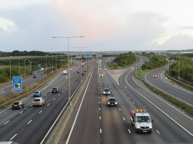
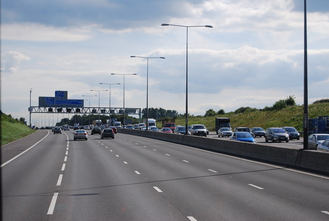
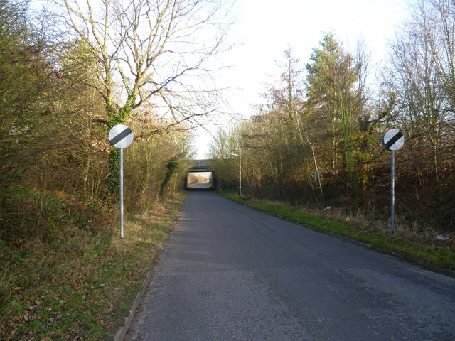
Hawley enjoys good transportation links, with the A2 road passing nearby, connecting the village to larger towns and cities in the region. The village is also within close proximity to Dartford, which offers a wider range of amenities and entertainment options.

Overall, Hawley is a charming village in the heart of the Kent countryside, offering a peaceful and idyllic lifestyle for its residents. With its beautiful surroundings and strong sense of community, it is a place that many people are proud to call home.

If you have any feedback on the listing, please let us know in the comments section below.
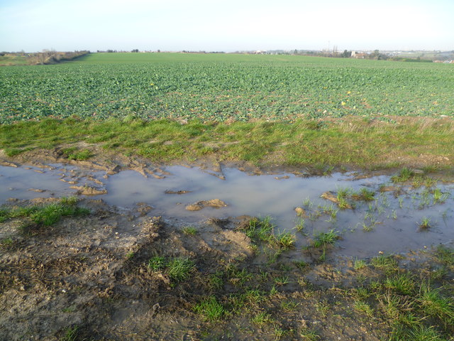
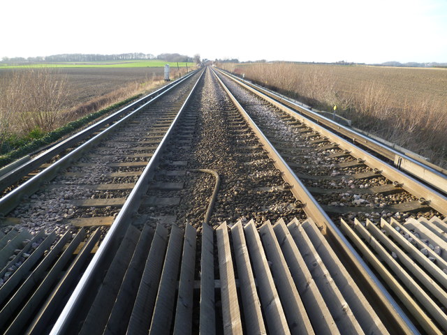
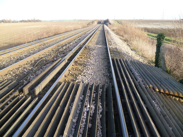
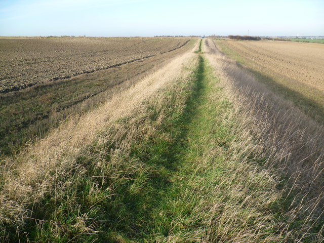
Hawley Images

Images are sourced within 2km of 51.419405/0.221747 or Grid Reference TQ5471. Thanks to Geograph Open Source API. All images are credited.

Start of the M25, Dartford The M25 almost forms a complete ring around the edge of London.  However the ring is broken between Dartford in Kent and West Thurrock on the north side of the Thames, with the A282 Dartford tunnels and bridge filling in the gap.

This photo shows the start of the M25, heading south from Dartford as it starts its clockwise journey of 117 miles around the edge of London to West Thurrock.  Slip roads carry traffic onto and from the A2, which crosses the M25 about a kilometre to the south.

The photo was taken in fading light, at dusk on an October evening.
Start of the M25, Dartford
The M25 almost forms a complete ring around the edge of London. However the ring is broken between Dartford in Kent and West Thurrock on the north side of the Thames, with the A282 Dartford tunnels and bridge filling in the gap. This photo shows the start of the M25, heading south from Dartford as it starts its clockwise journey of 117 miles around the edge of London to West Thurrock. Slip roads carry traffic onto and from the A2, which crosses the M25 about a kilometre to the south. The photo was taken in fading light, at dusk on an October evening.
A282 heading north, Dartford Looking from just about where the M25 becomes the A282.
A282 heading north, Dartford
Looking from just about where the M25 becomes the A282.
St Margaret of Antioch, Darenth: chancel screen See <a href="https://www.geograph.org.uk/photo/194026">TQ5671 : St Margaret's Church</a> for an outside view of the church, which is grade I listed (list entry 1085815).
St Margaret of Antioch, Darenth: chancel screen
See TQ5671 : St Margaret's Church for an outside view of the church, which is grade I listed (list entry 1085815).
St Margaret of Antioch, Darenth: font The font is not mentioned in the brief text of the church's grade I listing but it does suggest that the church is "reckoned to be the third oldest in Kent, and the sixth oldest in the United Kingdom" and the font is generally acknowledged to be of the Norman period. Some of the carving may be of pagan symbolism.
St Margaret of Antioch, Darenth: font
The font is not mentioned in the brief text of the church's grade I listing but it does suggest that the church is "reckoned to be the third oldest in Kent, and the sixth oldest in the United Kingdom" and the font is generally acknowledged to be of the Norman period. Some of the carving may be of pagan symbolism.
The M25 southbound The M25 is a 117 mile orbital motorway that encircles London. It was constructed between 1975 and 1986.
The motorway is not a continuous loop as a section to the East of London at The Dartford Crossing is an A-Road.
Wikipedia; <span class="nowrap"><a title="http://en.wikipedia.org/wiki/M25_motorway" rel="nofollow ugc noopener" href="http://en.wikipedia.org/wiki/M25_motorway">Link</a><img style="margin-left:2px;" alt="External link" title="External link - shift click to open in new window" src="https://s1.geograph.org.uk/img/external.png" width="10" height="10"/></span>
The M25 southbound
The M25 is a 117 mile orbital motorway that encircles London. It was constructed between 1975 and 1986. The motorway is not a continuous loop as a section to the East of London at The Dartford Crossing is an A-Road. Wikipedia; LinkExternal link
Sutton at Hone from Ship Lane Ship Lane is to the right of the bank as it reaches the outskirts of Sutton at Hone. Homefield Farm is to the right and the green shed is Homefield Garage. The hill on the horizon to the left is Badger's Mount on the other side of the Darent Valley.
Sutton at Hone from Ship Lane
Ship Lane is to the right of the bank as it reaches the outskirts of Sutton at Hone. Homefield Farm is to the right and the green shed is Homefield Garage. The hill on the horizon to the left is Badger's Mount on the other side of the Darent Valley.
View from Ship Lane, Sutton at Hone Ship Lane runs from Sutton at Hone to Swanley. This view is just outside the former. The chimney which can just be made out on the horizon to the right is Littlebrook Power Station - see <a title="https://www.geograph.org.uk/photo/2552306" href="https://www.geograph.org.uk/photo/2552306">Link</a>
View from Ship Lane, Sutton at Hone
Ship Lane runs from Sutton at Hone to Swanley. This view is just outside the former. The chimney which can just be made out on the horizon to the right is Littlebrook Power Station - see Link
Railway line between Farningham Road and Swanley A footpath leads from Ship Lane between fields, up an embankment and across the railway line between Farningham Road and Swanley. This view is towards Swanley. The line dates from 1860 and it was electrified in 1939. Until the opening of St Pancras International in 2007, Eurostars ran along this line.
Railway line between Farningham Road and Swanley
A footpath leads from Ship Lane between fields, up an embankment and across the railway line between Farningham Road and Swanley. This view is towards Swanley. The line dates from 1860 and it was electrified in 1939. Until the opening of St Pancras International in 2007, Eurostars ran along this line.
Railway line between Swanley and Farningham Road A footpath leads from Ship Lane between fields, up an embankment and across the railway line between Farningham Road and Swanley. This view is towards Farningham Road and the bridge ahead is a farm access track. The line dates from 1860 and it was electrified in 1939. Until the opening of St Pancras International in 2007, Eurostars ran along this line.
Railway line between Swanley and Farningham Road
A footpath leads from Ship Lane between fields, up an embankment and across the railway line between Farningham Road and Swanley. This view is towards Farningham Road and the bridge ahead is a farm access track. The line dates from 1860 and it was electrified in 1939. Until the opening of St Pancras International in 2007, Eurostars ran along this line.
Footpath towards Ship Lane A footpath leads from Ship Lane between fields, up an embankment and across the railway line between Farningham Road and Swanley. This view is from the foot of the embankment back towards Ship Lane.
Footpath towards Ship Lane
A footpath leads from Ship Lane between fields, up an embankment and across the railway line between Farningham Road and Swanley. This view is from the foot of the embankment back towards Ship Lane.
Ship Lane, Swanley passing under the M25 Ship Lane leads from Swanley Village to Sutton at Hone. This is looking towards the latter. The bridge just ahead carries the M25 overhead.
Ship Lane, Swanley passing under the M25
Ship Lane leads from Swanley Village to Sutton at Hone. This is looking towards the latter. The bridge just ahead carries the M25 overhead.
Approaching junction 3, M25
M25 near Swanley Village 6 Miles to next services.
M25 near Swanley Village
6 Miles to next services.
Gantry over the M25
Gantry over the M25
Farmland by the M25
Farmland by the M25
M25, northbound The M25 is a 117 mile orbital motorway that encircles London. It was constructed between 1975 and 1986.
The motorway is not a continuous loop as a section to the East of London at The Dartford Crossing is an A-Road.
Wikipedia; <span class="nowrap"><a title="http://en.wikipedia.org/wiki/M25_motorway" rel="nofollow ugc noopener" href="http://en.wikipedia.org/wiki/M25_motorway">Link</a><img style="margin-left:2px;" alt="External link" title="External link - shift click to open in new window" src="https://s1.geograph.org.uk/img/external.png" width="10" height="10"/></span>
M25, northbound
The M25 is a 117 mile orbital motorway that encircles London. It was constructed between 1975 and 1986. The motorway is not a continuous loop as a section to the East of London at The Dartford Crossing is an A-Road. Wikipedia; LinkExternal link
The M25 northbound towards the Dartford Crossing
Main Road, Sutton at Hone
Show me another place!

Hawley is located at Grid Ref: TQ5471 (Lat: 51.419405, Lng: 0.221747)

Administrative County: Kent

District: Dartford

Police Authority: Kent

What 3 Words

///senses.summer.slot. Near Darenth, Kent

Nearby Locations

Hawley

Related Wikis

Hawley, Kent

Hawley is a village in the civil parish of Sutton-at-Hone and Hawley in the Borough of Dartford, Kent, England. It is located 3 miles south of Dartford...

Sutton-at-Hone and Hawley

Sutton-at-Hone and Hawley is a civil parish within the Borough of Dartford in Kent, England. It lies to the south of the urban part of the Borough, and...

Sutton-at-Hone

Sutton-at-Hone is a village in the civil parish of Sutton-at-Hone and Hawley in the Borough of Dartford in Kent, England. It is located 3.5 miles south...

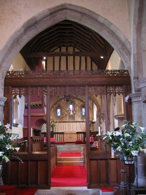
Church of St Margaret of Antioch, Darenth

The Church of St Margaret of Antioch at Darenth, Kent, is a church with Norman origins thought to be the third oldest in Kent and the sixth oldest in the...

Nearby Amenities

Located within 500m of 51.419405,0.221747
Speed Camera
Lat/Long: 51.4171348/0.226334
Created By: YahooApplet 1.0
Lat/Long: 51.4170491/0.2265486
Hawley
Created By: Potlatch 0.6
Place: village
Source: npe
Wikidata: Q2347219
Lat/Long: 51.4218992/0.222719
Post Box
Collection Times: Mo-Fr 09:00; Sa 07:00
Post Box Apertures: 1
Post Box Type: pillar
Ref: DA2 132D
Royal Cypher: GVIR
Royal Cypher Wikidata: Q33102169
Lat/Long: 51.4208175/0.224343
Barrier: bollard
Horse: yes
Lat/Long: 51.4236642/0.2215846
Fixme: I didn't follow this path. Where does it lead?
Lat/Long: 51.4228422/0.2245505
Barrier: stile
Material: wood
Lat/Long: 51.4228322/0.2256489
Street Lamp
Lat/Long: 51.4180903/0.228256
Street Lamp
Lat/Long: 51.4183136/0.2286838
Phone
Emergency: phone
Lat/Long: 51.4182133/0.2280307
Barrier: cycle_barrier
Lat/Long: 51.4211157/0.2254618
Power: pole
Lat/Long: 51.4206871/0.2268572
Fixme: Continues, not signed so might not be a right of way
Lat/Long: 51.4211964/0.2257816
Fixme: Needs surveying
Lat/Long: 51.4202731/0.2286744
Direction: 105
Traffic Sign: GB:517
Lat/Long: 51.4218124/0.2185176
Street Lamp
Material: wood
Note: Power pole with attached street lamp
Power: pole
Lat/Long: 51.4217053/0.2189199
Street Lamp
Material: wood
Note: Power pole with attached street lamp
Power: pole
Lat/Long: 51.421725/0.2184089
Grit Bin
Lat/Long: 51.4218542/0.2181474
Give Way
Lat/Long: 51.4218345/0.2182366
Grit Bin
Lat/Long: 51.4208011/0.2243564
Material: wood
Power: pole
Lat/Long: 51.4201473/0.2204568
Street Lamp
Material: wood
Note: Street lamp attached to power pole
Power: pole
Lat/Long: 51.4201122/0.2207619
Material: wood
Power: pole
Lat/Long: 51.4212341/0.2196474
Material: wood
Power: pole
Lat/Long: 51.421035/0.2198815
Material: wood
Power: pole
Lat/Long: 51.4208272/0.2200089
Material: wood
Power: pole
Lat/Long: 51.420992/0.2197614
Material: wood
Power: pole
Lat/Long: 51.4205981/0.2200424
Material: wood
Power: pole
Lat/Long: 51.4204086/0.2200625
Barrier: block
Bicycle: yes
Foot: yes
Horse: yes
Note: Oil drums used to form a block preventing access by cars and other vehicles. Pedestrians and narrow vehicles (eg cycles) are able to get through.
Lat/Long: 51.4200093/0.2200533
Fire Hydrant
Emergency: fire_hydrant
Fire Hydrant Type: underground
Lat/Long: 51.4200674/0.2200893
Give Way
Lat/Long: 51.420247/0.2213553
Street Lamp
Note: Street lamp 71 attached to power pole
Power: pole
Lat/Long: 51.4202857/0.2212594
Power: pole
Lat/Long: 51.4211918/0.2254611
Power: pole
Lat/Long: 51.4207933/0.2243574
Power: pole
Lat/Long: 51.4210035/0.2249119
Give Way
Lat/Long: 51.4208092/0.2244056
The data included in this document is from www.openstreetmap.org. The data is made available under ODbL.

Have you been to Hawley?

Leave your review of Hawley below (or comments, questions and feedback).