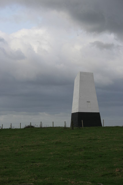
Ashey Down
Downs, Moorland in Hampshire
England
Ashey Down

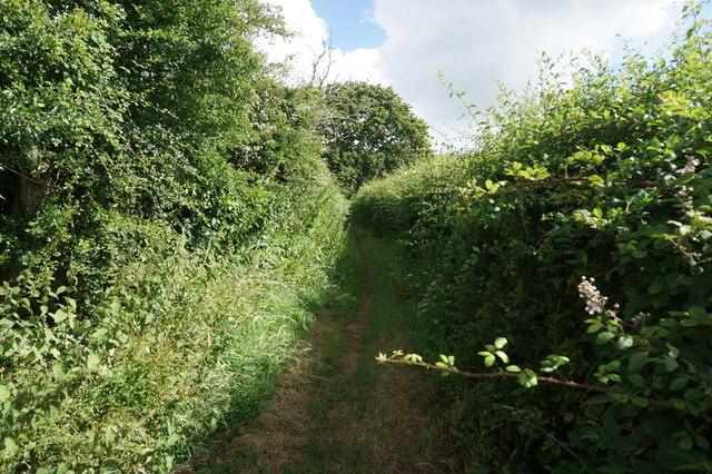
Ashley Down is a picturesque area located in Hampshire, England. Situated in the stunning Downs region, it is known for its idyllic countryside and beautiful moorland landscapes. With its rolling hills and vast open spaces, Ashley Down offers a peaceful retreat for nature enthusiasts and outdoor lovers.
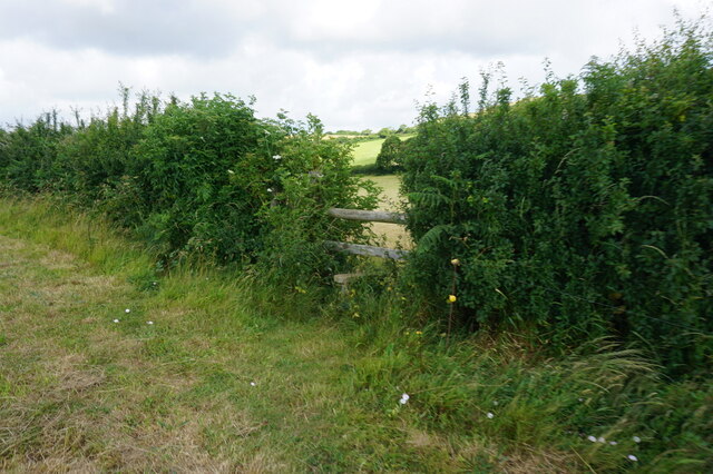
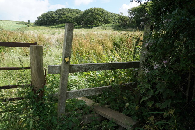
The Downs of Ashley Down are characterized by their chalk grassland, which creates a unique habitat for a variety of plant and animal species. The area is home to a diverse array of flora, including rare wildflowers and orchids, making it a haven for nature conservation. The moorland, on the other hand, provides a rugged and dramatic landscape, with its heather-clad hills and rocky outcrops.
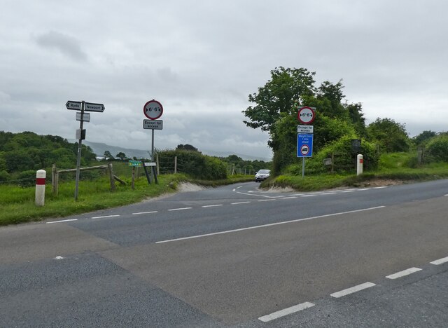
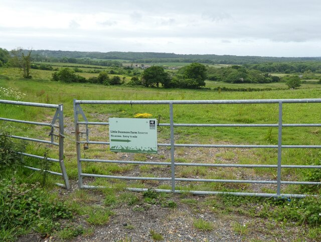
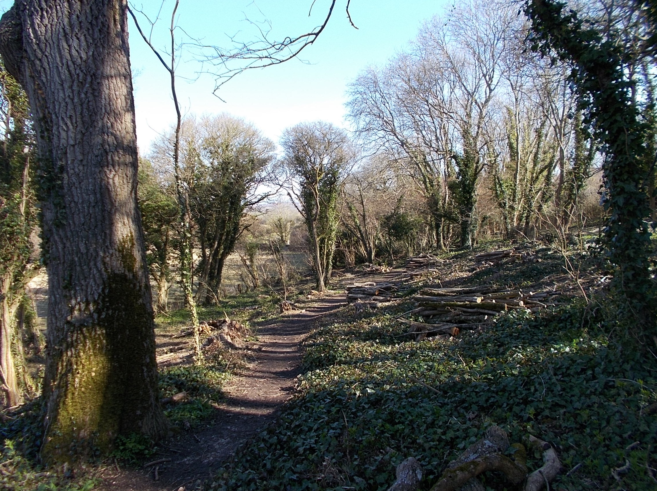
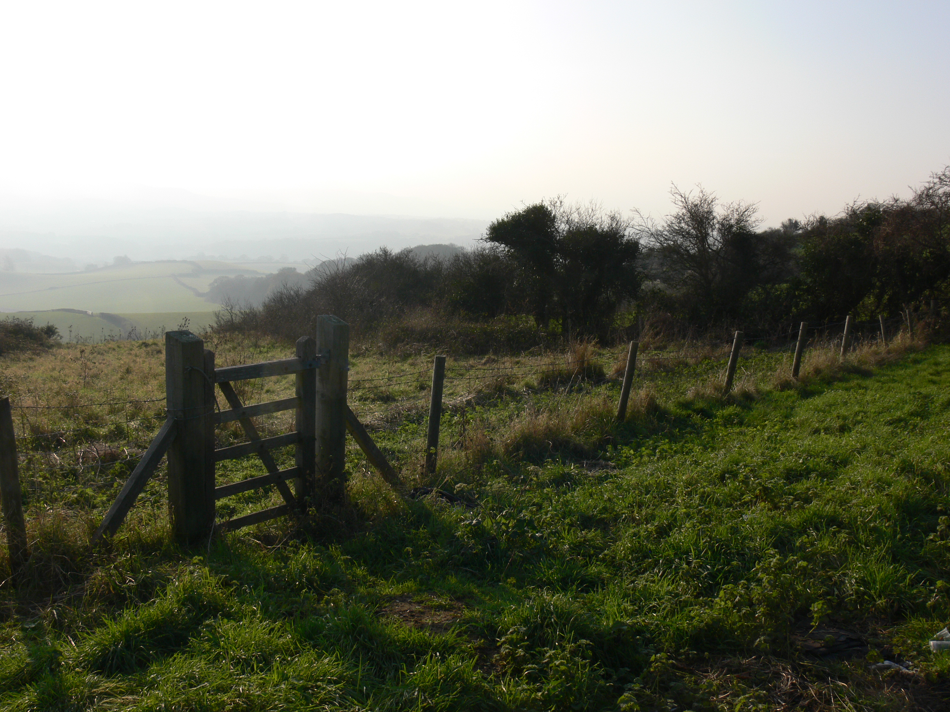
Visitors to Ashley Down can enjoy a range of outdoor activities, such as hiking, cycling, and birdwatching. The extensive network of walking trails offers stunning views of the surrounding countryside, while the bridleways and cycle paths provide opportunities for exploration. The area is also a popular spot for birdwatchers, with a multitude of species to be spotted, including kestrels, buzzards, and skylarks.
In addition to its natural beauty, Ashley Down is also steeped in history and heritage. The area is dotted with ancient landmarks, such as burial mounds and hill forts, which offer a glimpse into its rich past. There are also several charming villages and historic buildings in the vicinity, adding to the overall charm of the area.
Overall, Ashley Down in Hampshire is a captivating destination that showcases the beauty of the Downs and moorland landscapes. Whether it's for outdoor activities, wildlife spotting, or simply immersing oneself in the tranquility of the countryside, this area offers a delightful escape from the hustle and bustle of everyday life.
If you have any feedback on the listing, please let us know in the comments section below.
Ashey Down Images
Images are sourced within 2km of 50.68551/-1.1862394 or Grid Reference SZ5787. Thanks to Geograph Open Source API. All images are credited.


Ashey Down is located at Grid Ref: SZ5787 (Lat: 50.68551, Lng: -1.1862394)
Unitary Authority: Isle of Wight
Police Authority: Hampshire
What 3 Words
///plums.apples.pickle. Near Newchurch, Isle of Wight
Nearby Locations
Related Wikis
Eaglehead and Bloodstone Copses
Eaglehead and Bloodstone Copses is a 10.3-hectare (25-acre) Site of Special Scientific Interest which is south of Ashey on the Isle of Wight. The site...
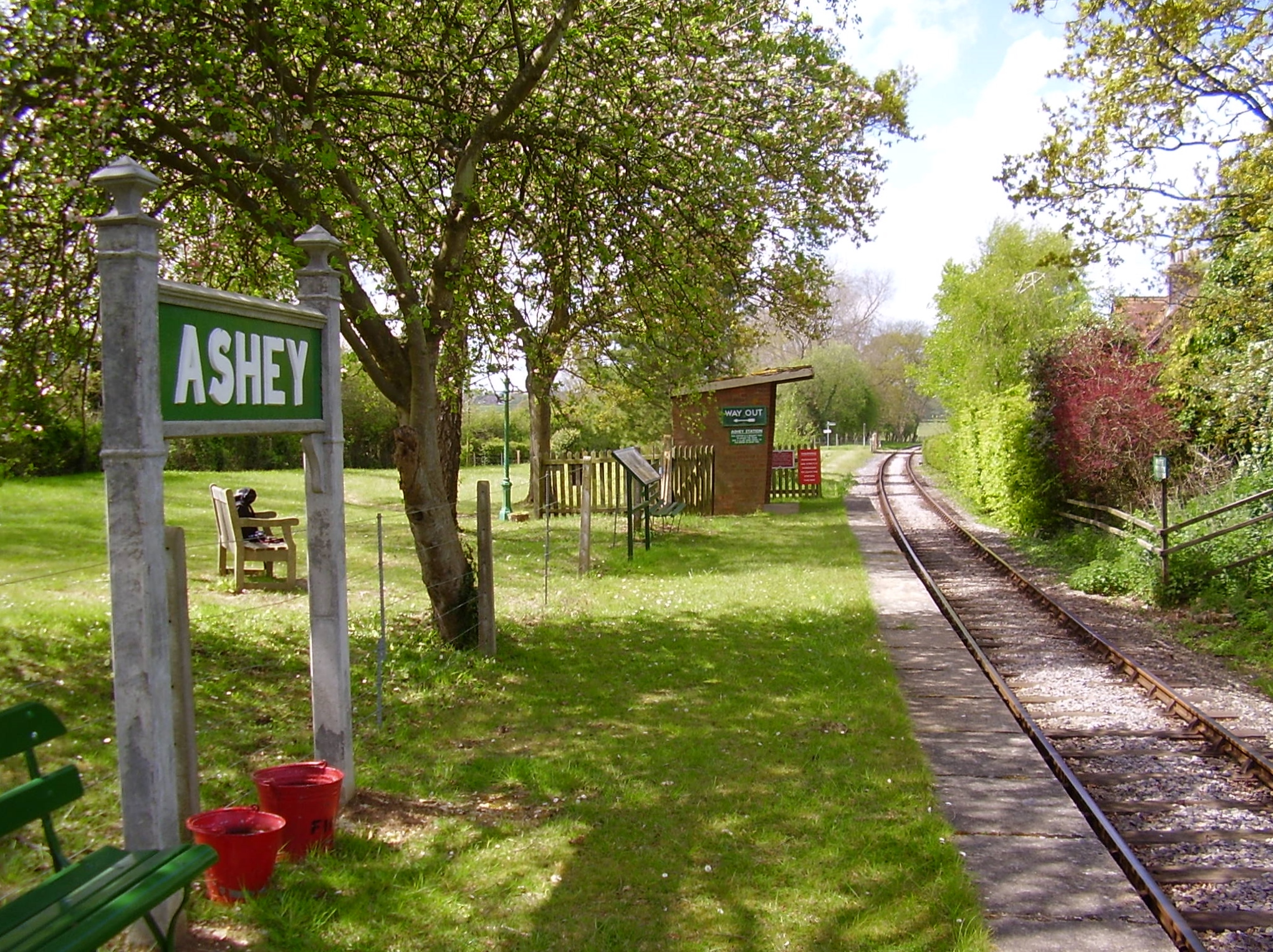
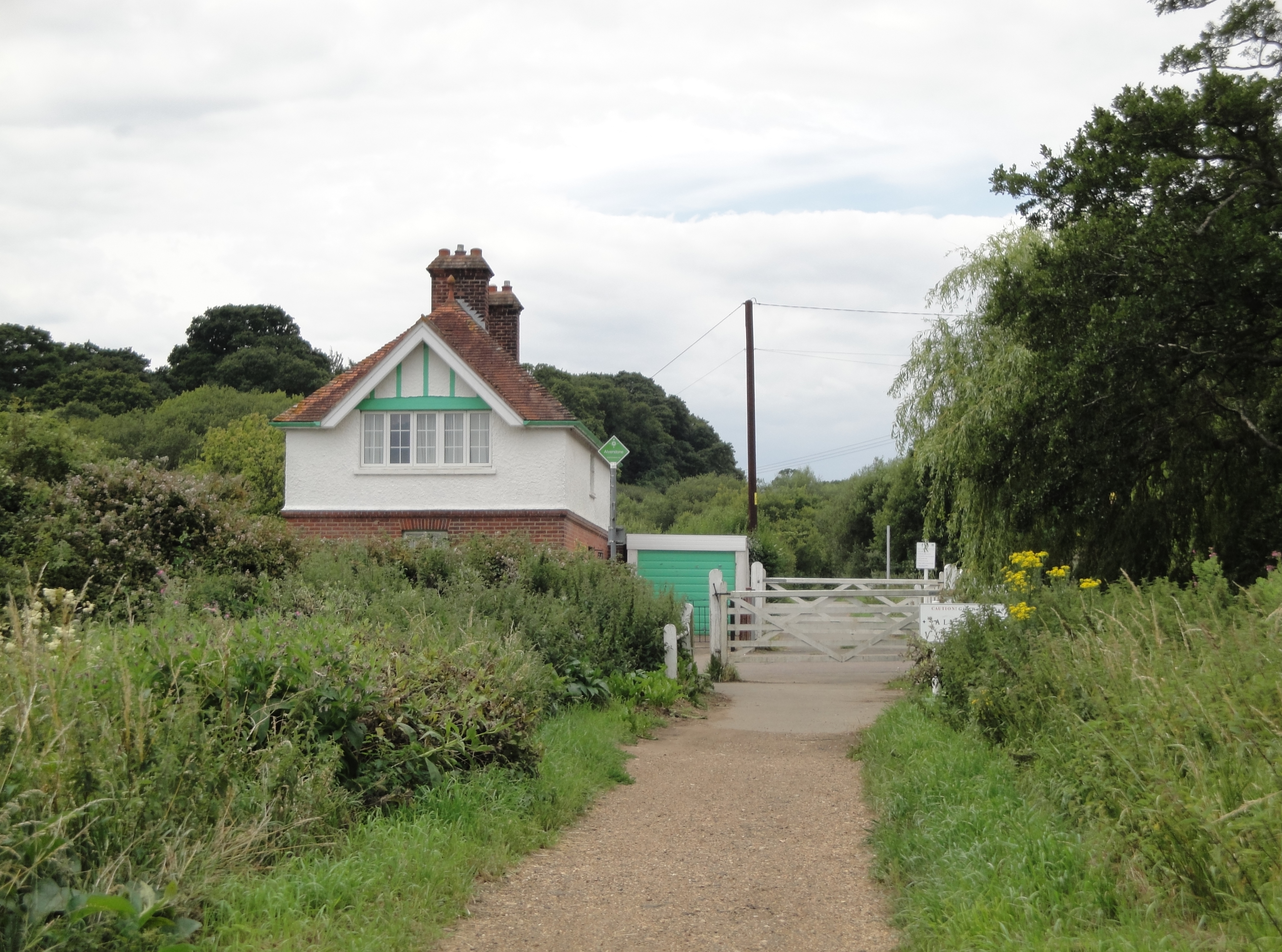
Ashey railway station
Ashey railway station is a station serving the village of Ashey on the Isle of Wight in England. It was on the line which ran from Ryde to Newport. It...
Knighton, Isle of Wight
Knighton is a hamlet near to Newchurch on the Isle of Wight. The name should be pronounced as Kay-nighton to avoid confusion with the larger, homophonic...
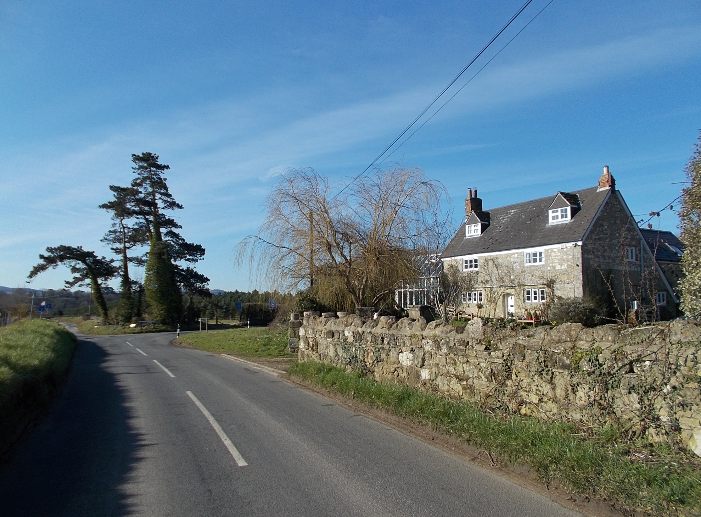
Ashey
Ashey is a hamlet and former civil parish, now in the parish of Havenstreet and Ashey, on the outskirts of Ryde, on the Isle of Wight, England. In 1931...

Alverstone Marshes
Alverstone Marshes (grid reference SZ572859) is an 83.8 hectare biological Site of Special Scientific Interest on the Isle of Wight, notified in 1951....

Nunwell
Nunwell is the location of Nunwell House, near Brading on the Isle of Wight, which was the home of the Oglander family for many centuries. It is in the...
Brading Down
Brading Down is a chalk down southwest of Brading, Isle of Wight. It is a prominent hill which overlooks Sandown Bay, with views across the bay towards...
Alverstone railway station
Alverstone railway station, was an intermediate station situated on the edge of Alverstone village on the Isle of Wight, off the south coast of England...
Nearby Amenities
Located within 500m of 50.68551,-1.1862394Have you been to Ashey Down?
Leave your review of Ashey Down below (or comments, questions and feedback).