Alexanders Moors
Downs, Moorland in Hampshire Winchester
England
Alexanders Moors
Alexanders Moors, located in Hampshire, is a picturesque area known for its stunning downs and moorland landscapes. Stretching across a vast expanse, this region offers visitors an opportunity to immerse themselves in the beauty of nature.
The downs of Alexanders Moors are characterized by rolling hills covered in lush green grass and dotted with wildflowers, creating a vibrant and colourful atmosphere. The undulating terrain provides breathtaking panoramic views, making it a popular spot for hikers, nature enthusiasts, and photographers alike.
The moorland in Alexanders Moors boasts a unique ecosystem, featuring heather-covered hills, open expanses, and scattered clusters of trees. This diverse habitat supports a variety of wildlife, including birds, reptiles, and small mammals, making it a haven for nature lovers and wildlife watchers. The moorland also offers opportunities for activities such as horse riding and cycling, allowing visitors to explore the area at their own pace.
Alexanders Moors is a place of tranquillity and serenity, offering visitors a chance to escape the hustle and bustle of daily life. Its natural beauty, combined with the peacefulness of the surroundings, creates a relaxing and rejuvenating atmosphere.
In addition to its natural wonders, Alexanders Moors is also home to historical landmarks and cultural sites. Ruins of ancient settlements and burial mounds can be found throughout the area, providing a glimpse into the region's rich history.
Overall, Alexanders Moors in Hampshire is a haven for nature lovers, offering a mix of stunning downs and moorland landscapes, diverse wildlife, and a peaceful atmosphere.
If you have any feedback on the listing, please let us know in the comments section below.
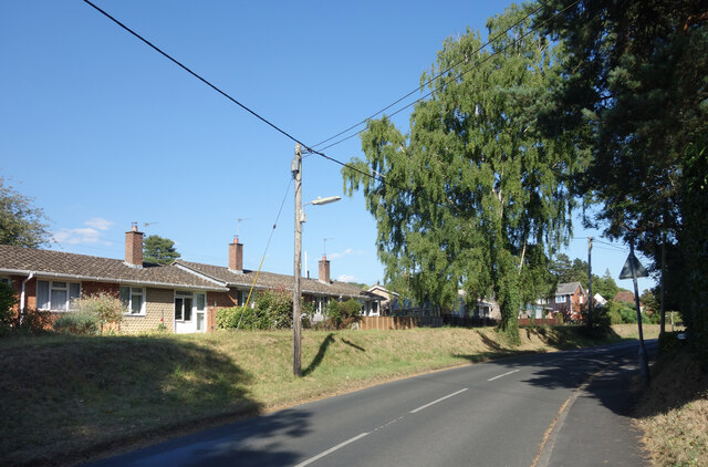
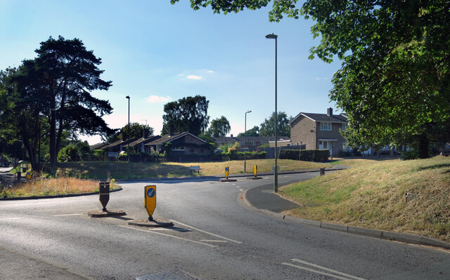
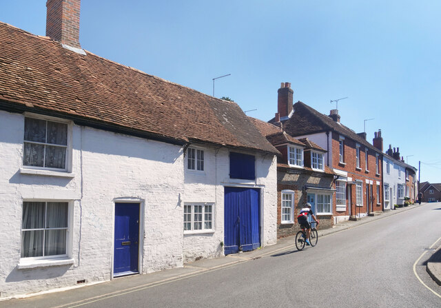
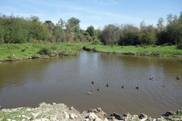
Alexanders Moors Images
Images are sourced within 2km of 50.946171/-1.1925451 or Grid Reference SU5616. Thanks to Geograph Open Source API. All images are credited.


Alexanders Moors is located at Grid Ref: SU5616 (Lat: 50.946171, Lng: -1.1925451)
Administrative County: Hampshire
District: Winchester
Police Authority: Hampshire
What 3 Words
///carpets.costs.unhappily. Near Swanmore, Hampshire
Nearby Locations
Related Wikis
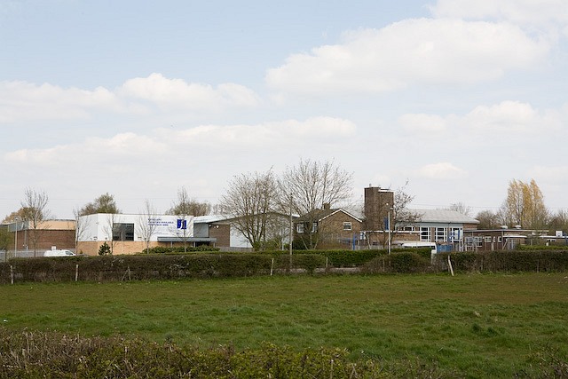
Swanmore College
Swanmore College is an 11–16 mixed secondary community school in Swanmore, Hampshire, England. The school has achieved Sports-mark, Investors in People...

The Moors, Bishop's Waltham
The Moors, Bishop's Waltham is a 28-hectare (69-acre) biological Site of Special Scientific Interest in Bishop's Waltham in Hampshire. It is a Nature Conservation...
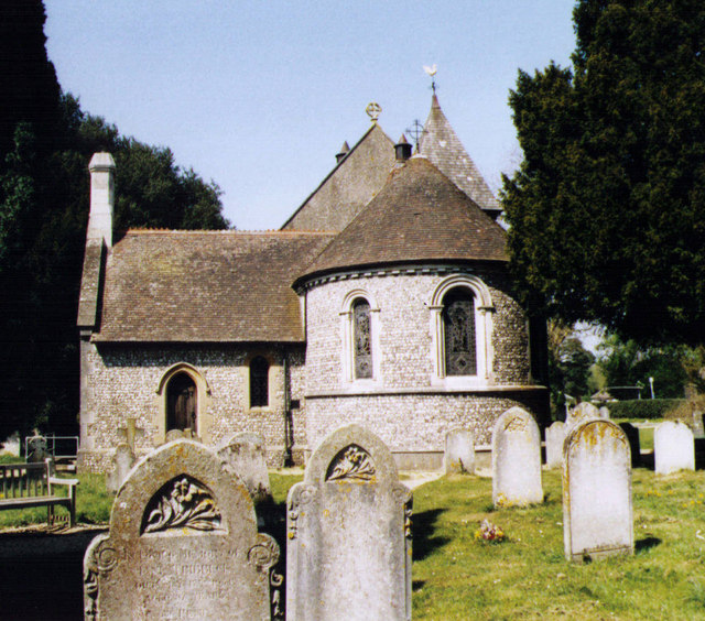
Church of Saint Barnabas, Swanmore
The Church of St Barnabas is the Church of England parish church of Swanmore near Southampton in Hampshire, England. It was constructed in 1844 and is...

Swanmore
Swanmore is a rural village and civil parish situated in the Meon Valley, Hampshire, England. It is very near to Bishop's Waltham. Swanmore was originally...
Waltham Chase
Waltham Chase is a village in Hampshire, England, neighbouring the town of Bishop's Waltham. It is in the civil parish of Shedfield, comprising about...

Bishop's Waltham
Bishop's Waltham (or Bishops Waltham) is a medieval market town situated at the source of the River Hamble in Hampshire, England. It has a foot in the...

Dundridge Meadows
Dundridge Meadows is a 7.5-hectare (19-acre) Local Nature Reserve near Bishop's Waltham in Hampshire. It is owned by Hampshire County Council and managed...

Bishop's Waltham Palace
Bishop's Waltham Palace is a moated Bishop's Palace ruin in Bishop's Waltham, Hampshire, England. It is a scheduled ancient monument and a Grade II* listed...
Nearby Amenities
Located within 500m of 50.946171,-1.1925451Have you been to Alexanders Moors?
Leave your review of Alexanders Moors below (or comments, questions and feedback).