Badby Down
Downs, Moorland in Northamptonshire
England
Badby Down
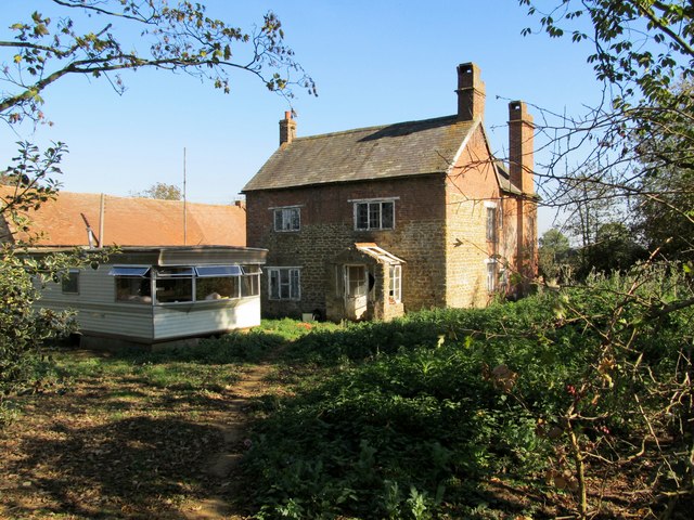
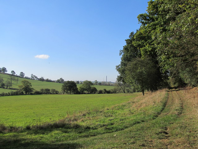
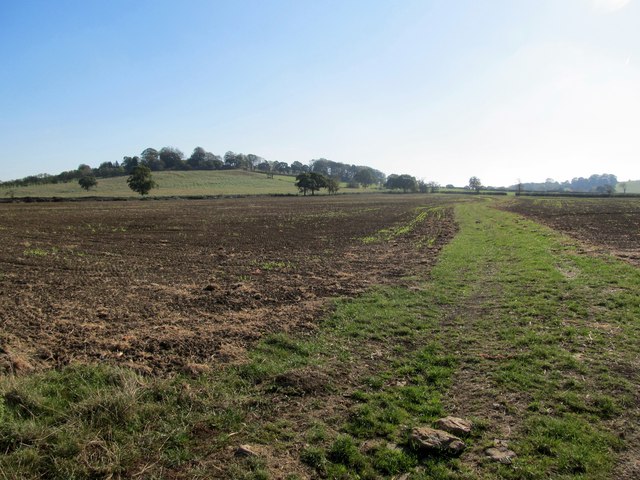
Badby Down is a picturesque area located in Northamptonshire, England. It is a part of the larger Badby Woods and Fawsley Estate, which covers an expansive area of approximately 1,000 acres. The Down is characterized by its rolling hills, lush green meadows, and stunning views of the surrounding countryside.
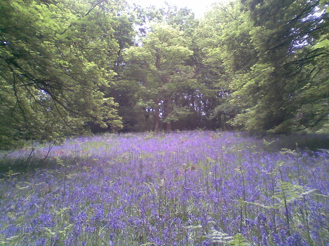
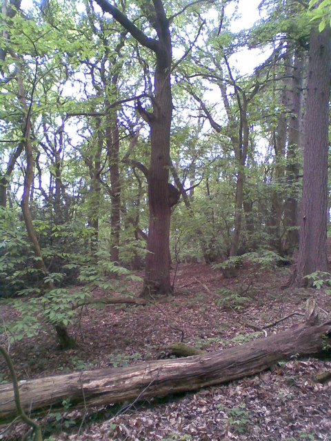
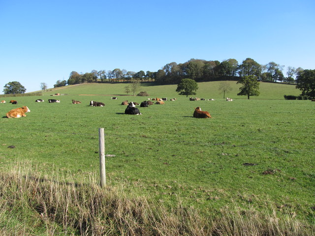
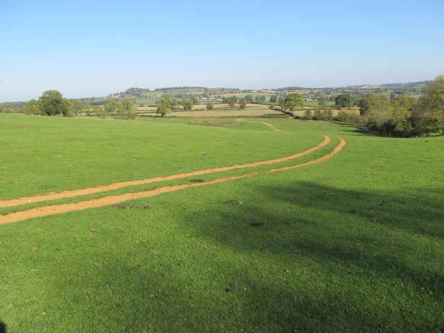
The landscape of Badby Down is predominantly made up of open grassland, interspersed with patches of woodland and small ponds. The area is known for its diverse wildlife, with a variety of bird species, including skylarks and kestrels, making it their home. The Down also supports a rich assortment of plant life, with wildflowers such as harebells and cowslips dotting the landscape during the spring and summer months.
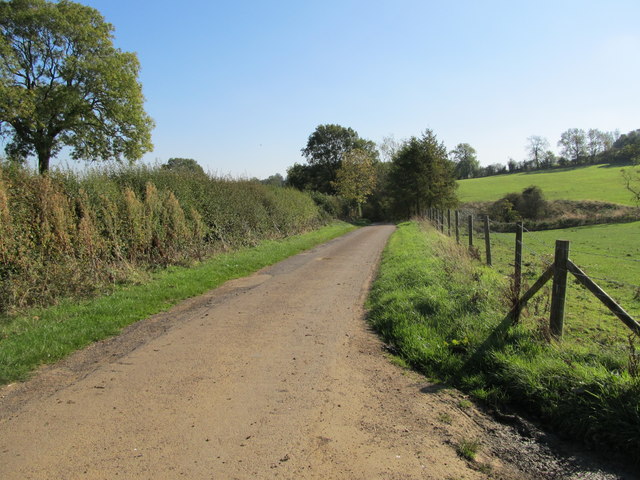
As a designated Site of Special Scientific Interest (SSSI), Badby Down is a haven for nature enthusiasts and conservationists alike. The area is carefully managed to preserve its unique ecosystem and protect its rare and endangered species. The Down is also popular among hikers and walkers, with several footpaths and trails crisscrossing through the area, providing visitors with the opportunity to explore its natural beauty.
Badby Down offers a tranquil retreat from the bustling city life, providing visitors with a chance to immerse themselves in the beauty of the Northamptonshire countryside. Its idyllic scenery and abundant wildlife make it a must-visit destination for nature lovers and those seeking a peaceful escape.
If you have any feedback on the listing, please let us know in the comments section below.
Badby Down Images
Images are sourced within 2km of 52.218868/-1.186991 or Grid Reference SP5558. Thanks to Geograph Open Source API. All images are credited.


Badby Down is located at Grid Ref: SP5558 (Lat: 52.218868, Lng: -1.186991)
Unitary Authority: West Northamptonshire
Police Authority: Northamptonshire
What 3 Words
///perfumes.builds.trophy. Near Daventry, Northamptonshire
Nearby Locations
Related Wikis
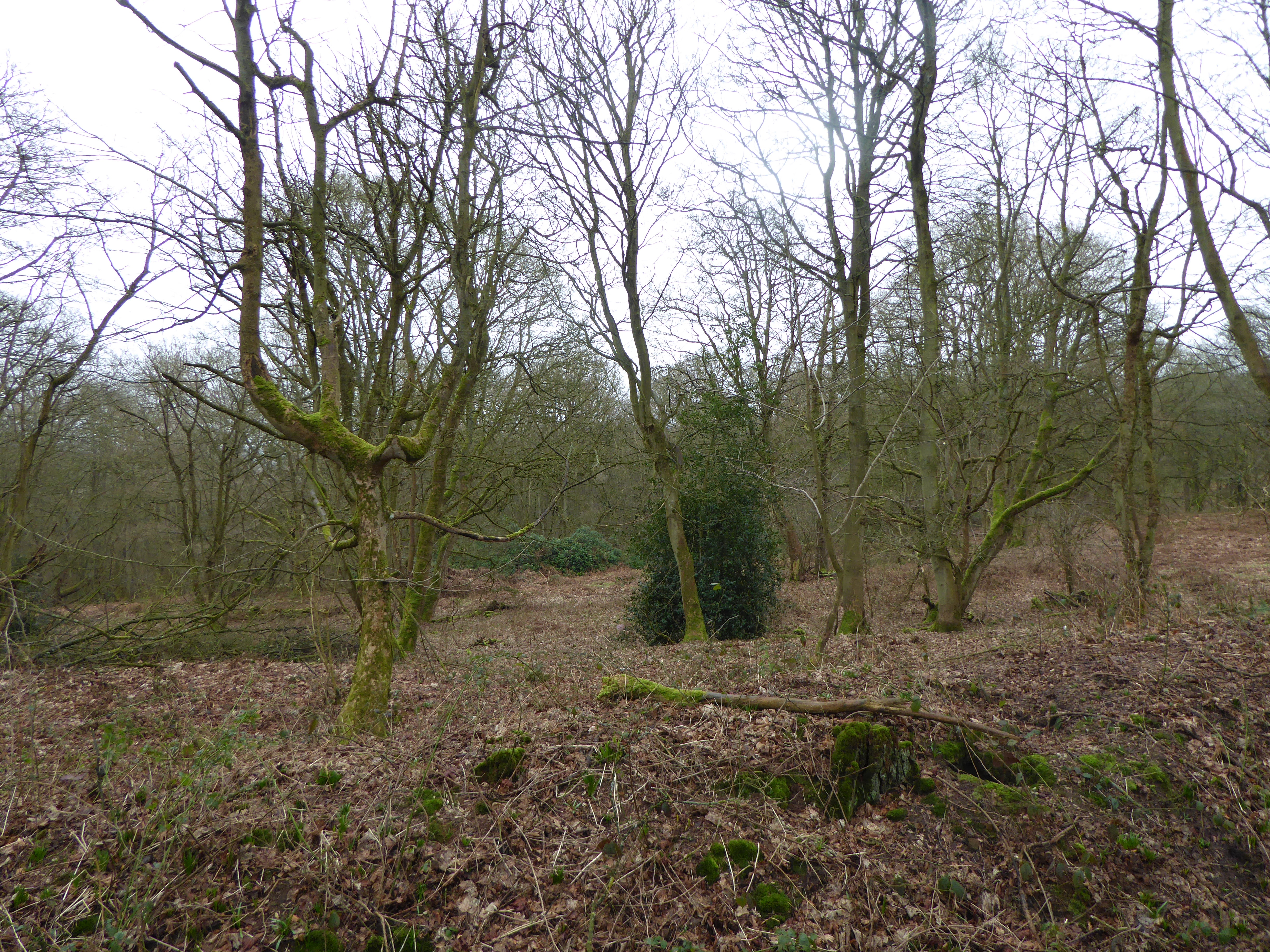
Badby Wood
Badby Wood is a 47.2-hectare (117-acre) biological Site of Special Scientific Interest (SSSI) south of Badby in Northamptonshire. This is ancient semi...

Badby
Badby is a village and a rural parish of about 2,020 acres (820 ha) in West Northamptonshire, England. == Location == Badby is about 2 miles (3 km) south...

Fawsley
Fawsley is a hamlet and civil parish in West Northamptonshire, England. The population at the 2001 census was 32. At the 2011 census the population remained...

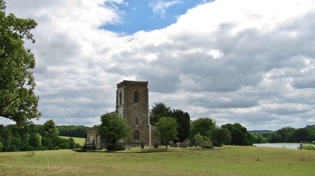
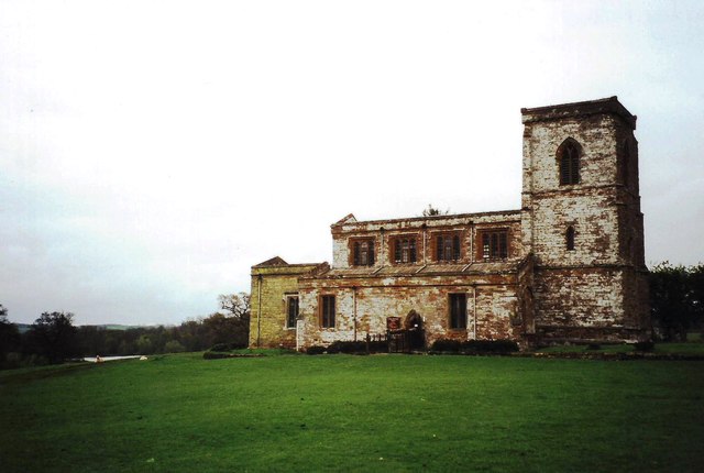
Church of St Mary the Virgin, Fawsley
The Church of St Mary the Virgin is a Church of England parish church in Fawsley, Northamptonshire, England. It serves the parish of Fawsley under the...
Nearby Amenities
Located within 500m of 52.218868,-1.186991Have you been to Badby Down?
Leave your review of Badby Down below (or comments, questions and feedback).