Sookholme Moor
Downs, Moorland in Nottinghamshire Mansfield
England
Sookholme Moor
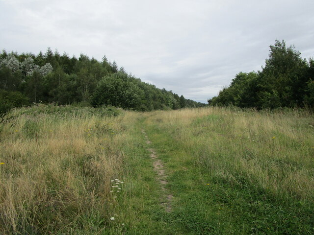
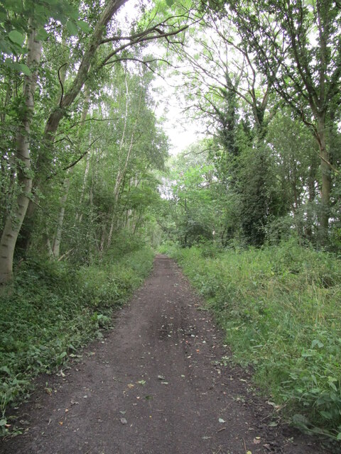
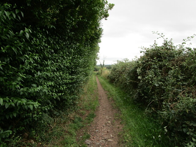
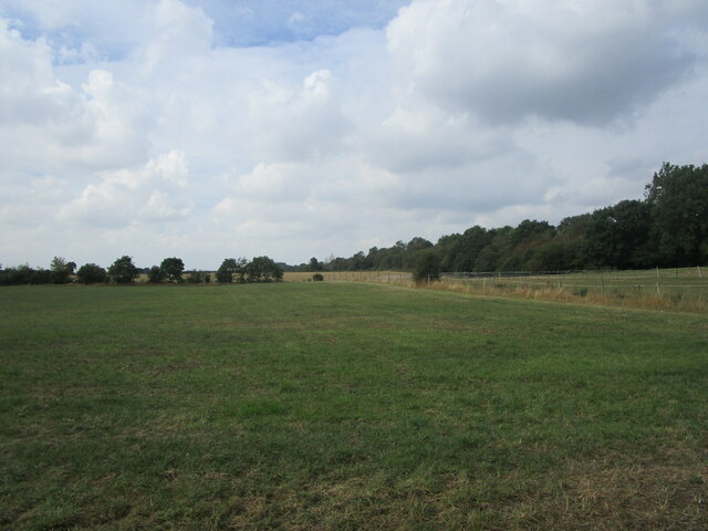
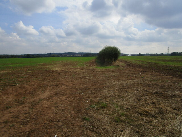
Sookholme Moor is a vast expanse of moorland located in Nottinghamshire, England. Situated in the district of Bassetlaw, it covers an area of approximately 100 hectares and is part of the larger Sherwood Forest. The moorland is characterized by its rolling hills, heather-covered landscapes, and patches of dense woodland.
The region is known for its rich biodiversity, with a variety of flora and fauna thriving in its unique ecosystem. The moorland is home to numerous species of birds, including skylarks, meadow pipits, and kestrels, making it a popular spot for birdwatching enthusiasts. Additionally, butterflies, small mammals, and reptiles can also be found in the area.
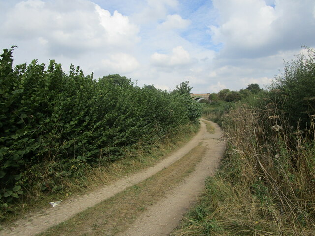
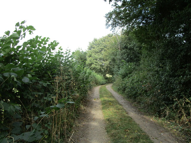
Sookholme Moor boasts several walking trails and footpaths, allowing visitors to explore its natural beauty. The landscape offers breathtaking views over the surrounding countryside, and its tranquility makes it an ideal place for nature lovers and those seeking solace in the great outdoors.
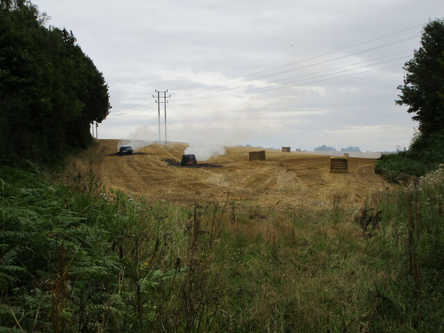
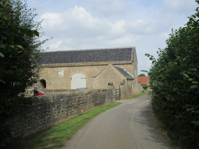
The moorland has a historical significance as well. It is believed that Sookholme Moor was once part of Sherwood Forest, the legendary woodland associated with the tales of Robin Hood. The area has also been used for grazing livestock and peat cutting in the past.
Overall, Sookholme Moor is a picturesque location that offers a haven for wildlife and an opportunity for visitors to immerse themselves in the natural beauty and history of the Nottinghamshire countryside.
If you have any feedback on the listing, please let us know in the comments section below.
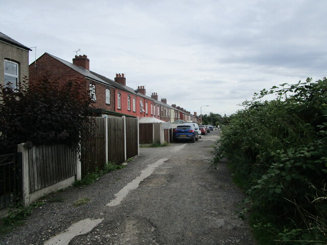
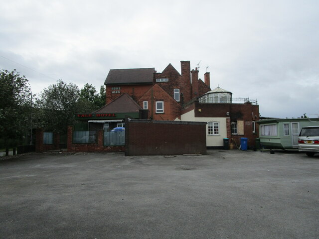
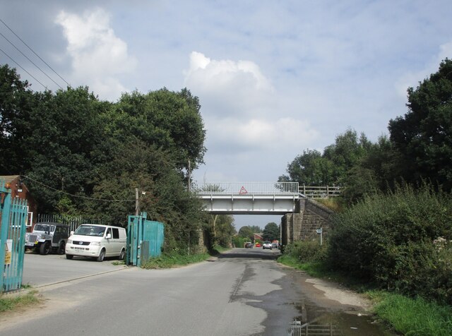
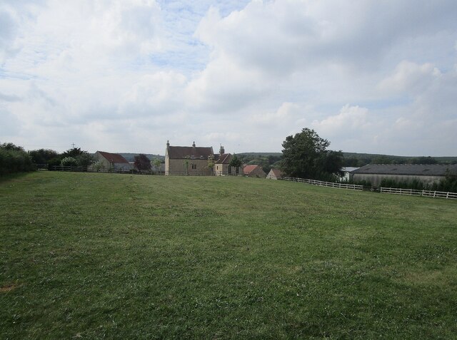
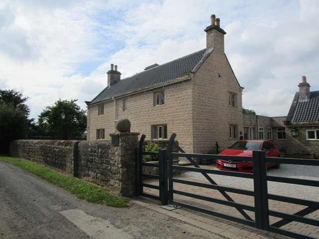
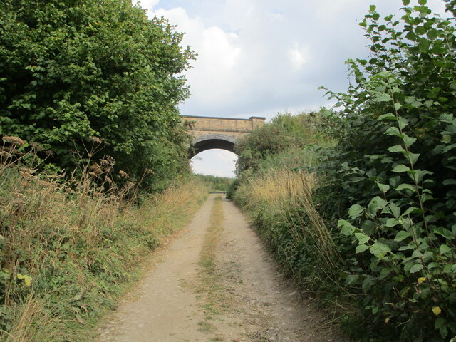
Sookholme Moor Images
Images are sourced within 2km of 53.205699/-1.1748949 or Grid Reference SK5567. Thanks to Geograph Open Source API. All images are credited.
Sookholme Moor is located at Grid Ref: SK5567 (Lat: 53.205699, Lng: -1.1748949)
Administrative County: Nottinghamshire
District: Mansfield
Police Authority: Nottinghamshire
What 3 Words
///outcasts.sweat.puppy. Near Market Warsop, Nottinghamshire
Nearby Locations
Related Wikis
Warsop Vale
Warsop Vale is a village in the Mansfield district of western Nottinghamshire, England. It is 18 miles (29 km) north of Nottingham, and 5 miles (8.0 km...
Sookholme
Sookholme is a village and former civil parish, now in the parish of Warsop in the Mansfield district of western Nottinghamshire, England. It is 120 miles...
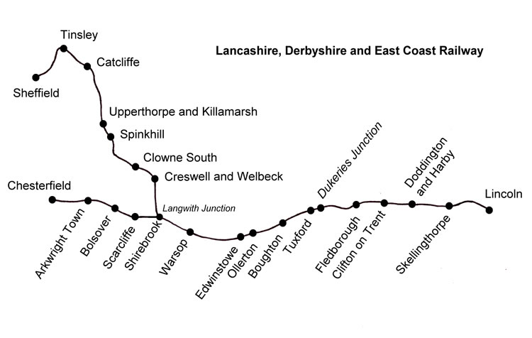
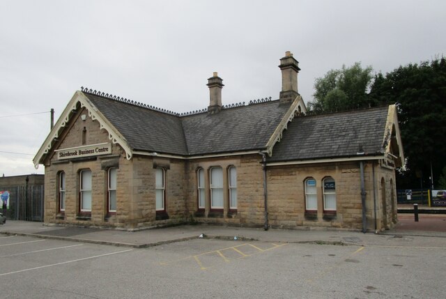
Warsop railway station
Warsop railway station is a former railway station in Market Warsop, Nottinghamshire, England. == History == The station was opened by the Lancashire,...

John Fretwell Sporting Complex
The John Fretwell Sporting Complex is a cricket ground located at Nettleworth near Market Warsop in Warsop parish, Nottinghamshire, England. The ground...

Warsop Town Hall
Warsop Town Hall is a municipal building in Church Street in Warsop, Nottinghamshire, England. The building is home to Warsop Parish Council, and was formerly...
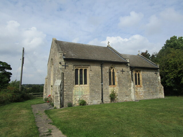
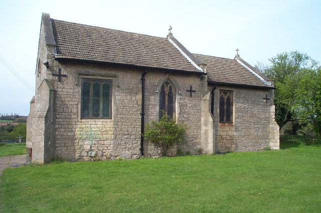
St Augustine's Church, Sookholme
St Augustine's Church, Sookholme is a Grade I listed parish church in the Church of England in Sookholme near Warsop. == History == The church was built...

Spion Kop, Nottinghamshire
Spion Kop is a small residential and former industrial area in Nottinghamshire, England, stretching for a few hundred yards on both sides of the main A60...

Church Warsop
Church Warsop is a village in Nottinghamshire, England. It is located 1 mile north of Warsop and is within the Warsop civil parish. The parish church...
Nearby Amenities
Located within 500m of 53.205699,-1.1748949Have you been to Sookholme Moor?
Leave your review of Sookholme Moor below (or comments, questions and feedback).