Adwick Common
Downs, Moorland in Yorkshire
England
Adwick Common
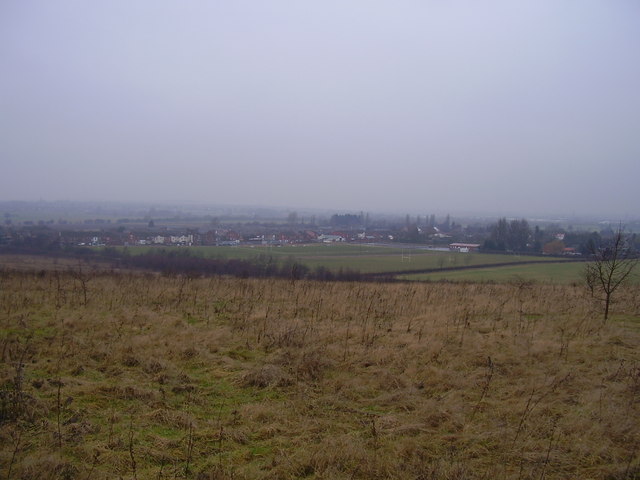
Adwick Common is a picturesque area located in Yorkshire, England. Situated on the outskirts of Doncaster, it is known for its diverse landscape that includes downs, moorland, and open fields. The common covers an expansive area, providing a serene and tranquil environment for visitors and locals alike.
The downs in Adwick Common offer breathtaking views of the surrounding countryside. They are characterized by their gently rolling hills, covered in lush green grass. Walking along the downs, one can enjoy the beauty of the landscape and spot various species of birds and wildlife that call this area home.
The moorland in Adwick Common is another notable feature. With its heather-covered expanses and rugged terrain, it provides a unique and wild natural environment. Moorland walks offer opportunities for exploration and a chance to discover the rich biodiversity of the area.
Adwick Common is also home to several species of flora and fauna that are native to this region. Visitors may come across colorful wildflowers, such as bluebells and orchids, as well as various species of birds, including kestrels and skylarks.
The common is a popular destination for outdoor enthusiasts, offering a range of activities such as hiking, horseback riding, and birdwatching. Additionally, picnic areas and designated spots for relaxation make it an ideal place for families and individuals looking to enjoy the peacefulness of nature.
Overall, Adwick Common is a stunning and diverse landscape that showcases the natural beauty of Yorkshire's downs, moorland, and open fields. It provides an excellent opportunity to connect with nature and experience the charm of rural England.
If you have any feedback on the listing, please let us know in the comments section below.
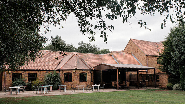
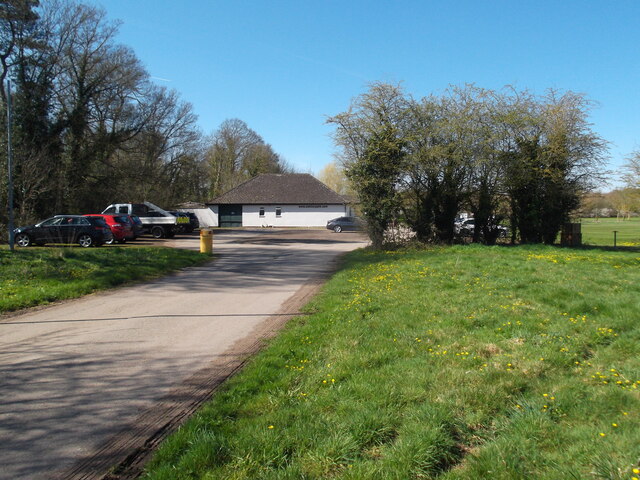
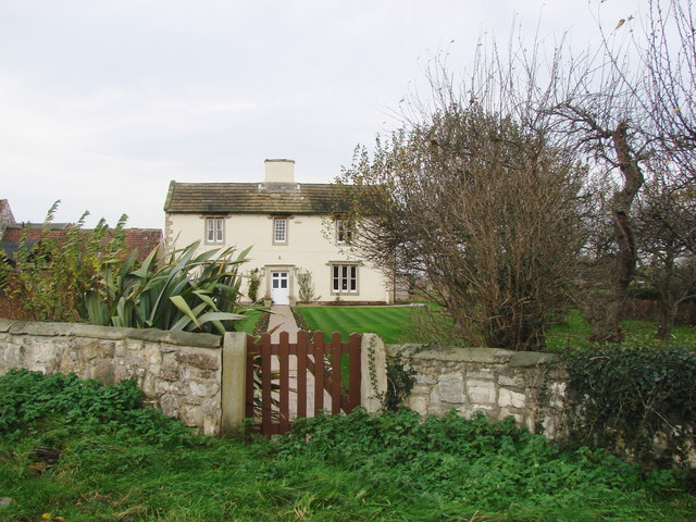
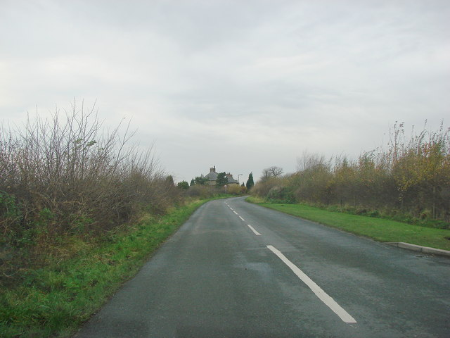
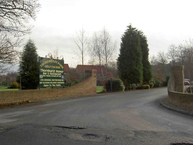
Adwick Common Images
Images are sourced within 2km of 53.572702/-1.1707443 or Grid Reference SE5508. Thanks to Geograph Open Source API. All images are credited.


Adwick Common is located at Grid Ref: SE5508 (Lat: 53.572702, Lng: -1.1707443)
Division: West Riding
Unitary Authority: Doncaster
Police Authority: South Yorkshire
What 3 Words
///bleach.snapped.spenders. Near Adwick le Street, South Yorkshire
Nearby Locations
Related Wikis
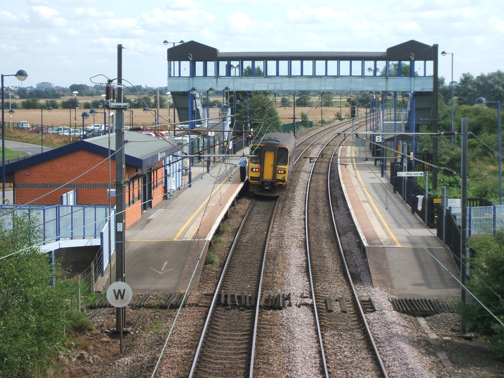
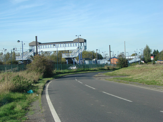
Adwick railway station
Adwick railway station serves the communities of Adwick le Street and Carcroft, in the Metropolitan Borough of Doncaster, South Yorkshire, England. Located...

Carcroft
Carcroft is a rural village in the City of Doncaster, South Yorkshire, England. Historically part of the West Riding of Yorkshire, the village is roughly...

Adwick le Street & Carcroft (ward)
Adwick le Street and Carcroft—consisting of Adwick le Street, Carcroft, Highfields, Skellow and Woodlands—is one of 21 electoral wards in the Metropolitan...
Toll Bar
Toll Bar is a semi-rural hamlet in the City of Doncaster local government area, South Yorkshire, England. It is situated on the A19 road, and approximately...
Nearby Amenities
Located within 500m of 53.572702,-1.1707443Have you been to Adwick Common?
Leave your review of Adwick Common below (or comments, questions and feedback).