Barton Moor

Downs, Moorland in Nottinghamshire Rushcliffe

England

Barton Moor

Moor Lane, Gotham
Moor Lane, Gotham Credit: Neil Theasby

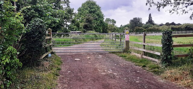
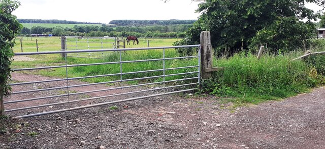
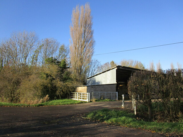
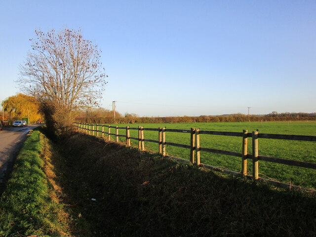
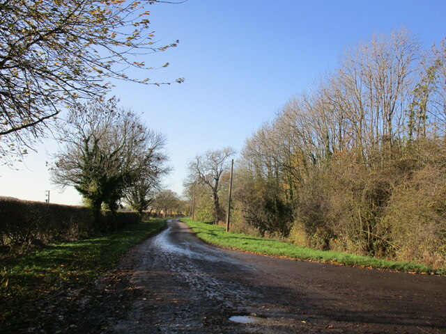
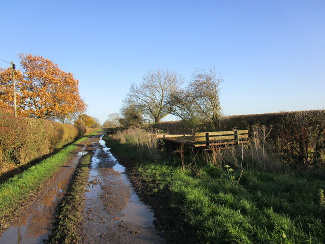
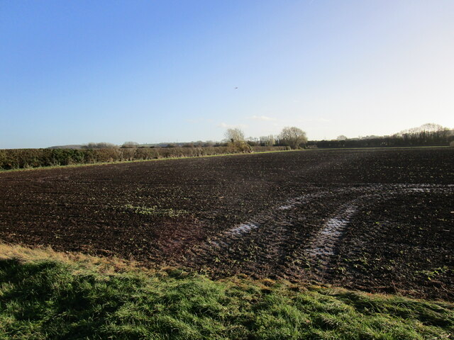
Barton Moor is a picturesque area located in the county of Nottinghamshire, England. Situated in the idyllic countryside, it is known for its vast downs and moorland landscapes. Spanning across several miles, Barton Moor offers a diverse range of habitats and natural beauty.

The area is characterized by rolling hills, open grasslands, and heather-covered moorlands. These landscapes provide a home to a variety of wildlife, including numerous bird species, such as kestrels, buzzards, and skylarks. Additionally, the moorland is dotted with small ponds and streams, adding to the overall charm of the area.

Barton Moor is a popular destination for outdoor enthusiasts and nature lovers. It offers a range of activities, including hiking, birdwatching, and photography. The expansive open spaces provide ample opportunities for walking and exploring the stunning scenery.

The moorland is managed by local conservation organizations, ensuring the preservation of its natural character. Efforts are made to protect the delicate ecosystem and maintain the balance of flora and fauna.

Visitors to Barton Moor can expect a tranquil and peaceful experience. The lack of urban development and the presence of untouched landscapes create a sense of serenity and escape from the hustle and bustle of city life.

Overall, Barton Moor is a gem in Nottinghamshire, offering a glimpse into the beauty of the British countryside. With its stunning downs and moorland, it provides a haven for nature enthusiasts and a place to unwind and connect with the natural world.

If you have any feedback on the listing, please let us know in the comments section below.
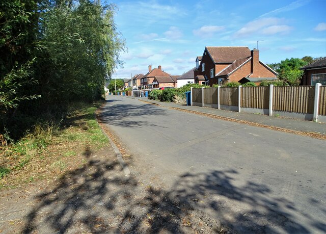
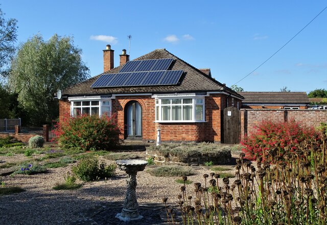
Barton Moor Images

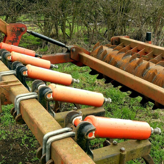
Images are sourced within 2km of 52.88049/-1.1944088 or Grid Reference SK5431. Thanks to Geograph Open Source API. All images are credited.

Moor Lane, Gotham
Moor Lane, Gotham
Bungalow on Moor Lane, Gotham
Track to farmland from west side of Moor Road
Horses in field at junction of farmland tracks SW of Moor Lane
Entrance to Fairholme Farm, Gotham
Drain alongside Moor Lane, Gotham
Moor Lane, Gotham Looking towards the village.
Moor Lane, Gotham
Looking towards the village.
Moor Lane Several old trailers have been abandoned alongside Moor Lane near Fairholme Farm.
Moor Lane
Several old trailers have been abandoned alongside Moor Lane near Fairholme Farm.
Prepared field near Fairholme Farm
Lane on Gotham Moor This well surfaced lane is not a public road for vehicles, but is classified as a public bridleway.
Lane on Gotham Moor
This well surfaced lane is not a public road for vehicles, but is classified as a public bridleway.
Moor Lane, Gotham A wide drove across the moor, designated as a public footpath, but providing space for the parking of redundant farm equipment.
Moor Lane, Gotham
A wide drove across the moor, designated as a public footpath, but providing space for the parking of redundant farm equipment.
A large pile of unowot I was passed by two tractor loads adding to the pile as I was walking Moor Lane.
A large pile of unowot
I was passed by two tractor loads adding to the pile as I was walking Moor Lane.
Moor Lane, Gotham A wide drove across the moor, designated as a public footpath, but providing space for the parking of redundant farm equipment.
Moor Lane, Gotham
A wide drove across the moor, designated as a public footpath, but providing space for the parking of redundant farm equipment.
Redundant cultivator Providing interesting shapes and colours.
Redundant cultivator
Providing interesting shapes and colours.
Commemorative panel, Leake Road bus stop, Gotham This is the stop outside the former South Notts bus company garage which closed in March 2021, with operation being transferred to Nottingham City Transport's other garages. It records the whole history of South Notts from its formation in 1926. See Wikipedia <span class="nowrap"><a title="https://en.wikipedia.org/wiki/South_Notts_Bus_Company#" rel="nofollow ugc noopener" href="https://en.wikipedia.org/wiki/South_Notts_Bus_Company#">Link</a><img style="margin-left:2px;" alt="External link" title="External link - shift click to open in new window" src="https://s1.geograph.org.uk/img/external.png" width="10" height="10"/></span>
Commemorative panel, Leake Road bus stop, Gotham
This is the stop outside the former South Notts bus company garage which closed in March 2021, with operation being transferred to Nottingham City Transport's other garages. It records the whole history of South Notts from its formation in 1926. See Wikipedia LinkExternal link
Please be on your bus behaviour This South Notts bus is running to East Leake Academy to pick up students, with a suitable exhortation on the destination display – which will doubtless be completely disregarded!

Bus 642 is a Scania N230UD with ADL bodywork, new in 2015.
Please be on your bus behaviour
This South Notts bus is running to East Leake Academy to pick up students, with a suitable exhortation on the destination display – which will doubtless be completely disregarded! Bus 642 is a Scania N230UD with ADL bodywork, new in 2015.
Waiting for a relief A bus operating on route 1, the old South Notts route from Nottingham to Loughborough, waits for a relief driver opposite Gotham bus garage (out of frame to the left). South Notts was taken over by Nottingham City Transport in around 1991 (I can't recall exactly when), and its blue and cream livery was retained for some years before it was replaced by the current two tone green NCT livery for less frequent services. The navy blue route branding recognises the route's heritage, however, as does the continuation of the South Notts name on this bus.
Waiting for a relief
A bus operating on route 1, the old South Notts route from Nottingham to Loughborough, waits for a relief driver opposite Gotham bus garage (out of frame to the left). South Notts was taken over by Nottingham City Transport in around 1991 (I can't recall exactly when), and its blue and cream livery was retained for some years before it was replaced by the current two tone green NCT livery for less frequent services. The navy blue route branding recognises the route's heritage, however, as does the continuation of the South Notts name on this bus.
Gotham, Notts Nottingham City Transport’s Gotham bus garage as seen from Leake Road, part of the 'main road' system through the village. In 2011 this garage won the award for ‘Top National Bus Depot’ at the acclaimed UK Bus Awards ceremony. The South Notts Bus Company Ltd originated here. It commenced in 1926 and became a limited company in 1929. Its major service operations have always been those between Nottingham and Loughborough via East Leake. The company was bought by Nottingham City Transport in 1991.
Gotham, Notts
Nottingham City Transport’s Gotham bus garage as seen from Leake Road, part of the 'main road' system through the village. In 2011 this garage won the award for ‘Top National Bus Depot’ at the acclaimed UK Bus Awards ceremony. The South Notts Bus Company Ltd originated here. It commenced in 1926 and became a limited company in 1929. Its major service operations have always been those between Nottingham and Loughborough via East Leake. The company was bought by Nottingham City Transport in 1991.
Show me another place!

Barton Moor is located at Grid Ref: SK5431 (Lat: 52.88049, Lng: -1.1944088)

Administrative County: Nottinghamshire

District: Rushcliffe

Police Authority: Nottinghamshire

What 3 Words

///wins.snacks.sang. Near Gotham, Nottinghamshire

Nearby Locations

Barton Moor

Related Wikis

Gotham, Nottinghamshire

Gotham ( GOHT-əm) is a village in Nottinghamshire, England, with a population of about 1,600, measured at 1,563 in the 2011 census, and 1,569 in the 2021...

St Lawrence's Church, Gotham

St. Lawrence's Church, Gotham is a Grade I listed parish church in the Church of England in Gotham, Nottinghamshire. It is part of an informal grouping...

Clifton South tram stop

Clifton South is a tram stop and Park & Ride site on the Nottingham Express Transit (NET) network. It is situated in the Borough of Rushcliffe, just to...

Summerwood Lane tram stop

Summerwood Lane is a tram stop on the Nottingham Express Transit (NET) network in the city of Nottingham suburb of Clifton. It is situated on street track...

Nearby Amenities

Located within 500m of 52.88049,-1.1944088
Power: tower
Source: Yahoo
Lat/Long: 52.8798935/-1.1978027
Power: tower
Source: Yahoo
Lat/Long: 52.8820793/-1.1943265
Power: tower
Source: Yahoo
Lat/Long: 52.8842805/-1.1909791
Power: tower
Source: Yahoo
Lat/Long: 52.8840112/-1.1966268
The data included in this document is from www.openstreetmap.org. The data is made available under ODbL.

Have you been to Barton Moor?

Leave your review of Barton Moor below (or comments, questions and feedback).