Arreton Down
Downs, Moorland in Hampshire
England
Arreton Down
Arreton Down is a picturesque area located in the county of Hampshire, England. Situated on the Isle of Wight, it offers stunning views and is known for its diverse landscape of downs and moorland.
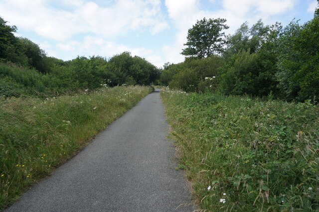
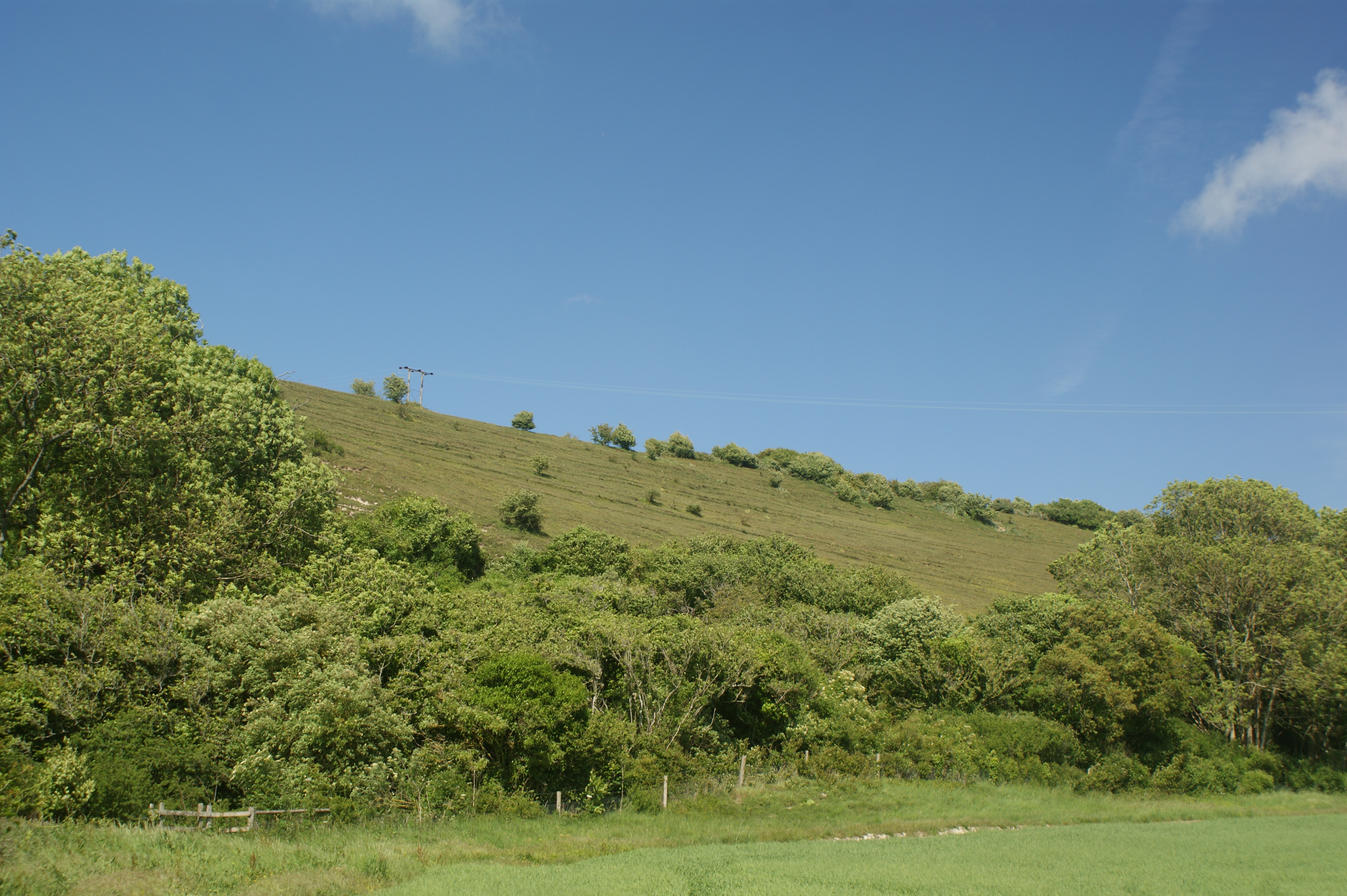
Covering an expansive area, Arreton Down is characterized by rolling hills and open grasslands. The downs, with their gently sloping terrain, are home to a rich variety of flora and fauna, making it a popular destination for nature enthusiasts and walkers alike. Visitors can witness a range of wildflowers, including vibrant orchids, as well as numerous species of butterflies and birds.
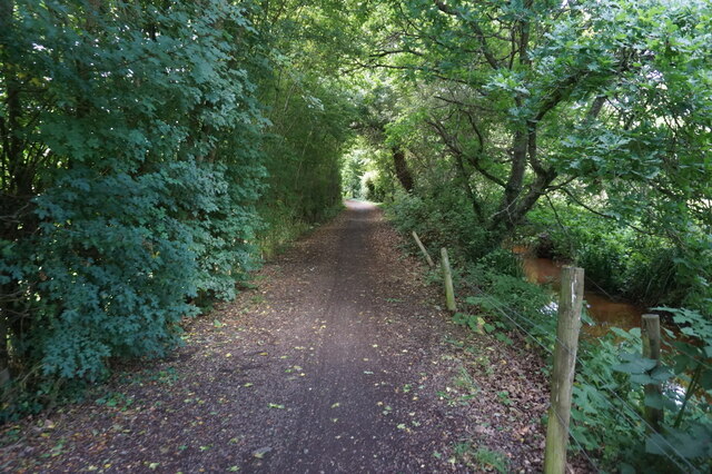
The moorland section of Arreton Down presents a different aspect of the landscape. Here, visitors can explore the heathland, which is covered in heather and gorse, creating a beautiful tapestry of colors throughout the year. The moorland is also home to several species of reptiles, such as adders and lizards, adding to the area's biodiversity.
Arreton Down offers breathtaking views, with the downs providing vistas of the surrounding countryside, while the moorland offers a sense of tranquility and isolation. The area is dotted with ancient burial mounds and historical sites, showcasing its rich heritage.
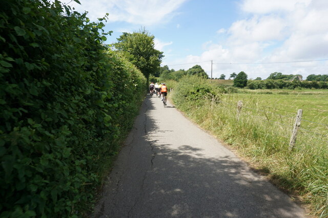
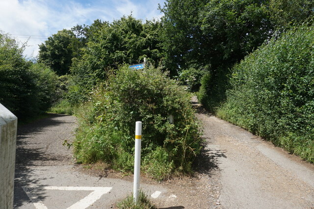
Numerous walking trails crisscross Arreton Down, allowing visitors to fully immerse themselves in the natural beauty of the area. The trails are well-maintained and offer a range of difficulty levels, making them suitable for both leisurely strolls and more challenging hikes.
Overall, Arreton Down in Hampshire is a haven for nature lovers and those seeking a peaceful retreat in the heart of the English countryside. Its diverse landscape, rich biodiversity, and captivating views make it a must-visit destination for anyone exploring the region.
If you have any feedback on the listing, please let us know in the comments section below.
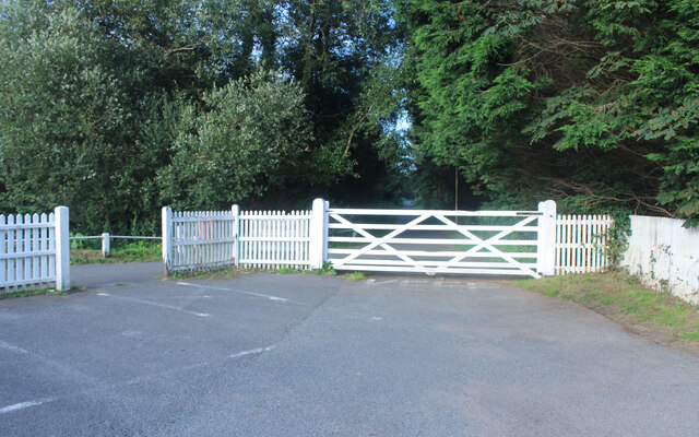
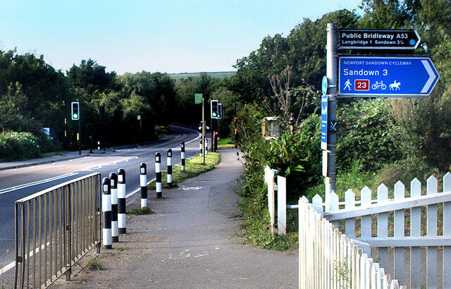
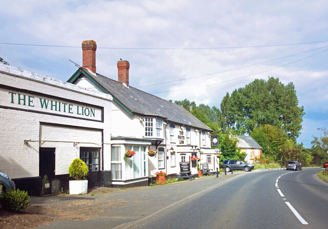
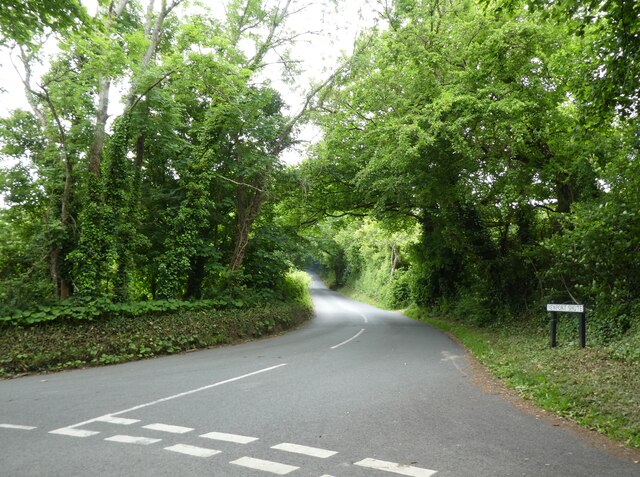
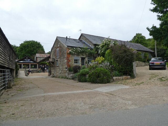
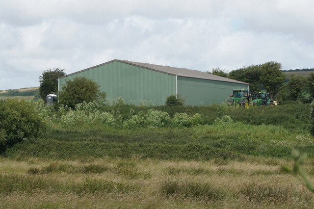
Arreton Down Images
Images are sourced within 2km of 50.681972/-1.2388987 or Grid Reference SZ5387. Thanks to Geograph Open Source API. All images are credited.


Arreton Down is located at Grid Ref: SZ5387 (Lat: 50.681972, Lng: -1.2388987)
Unitary Authority: Isle of Wight
Police Authority: Hampshire
What 3 Words
///custard.amplifier.handover. Near Newchurch, Isle of Wight
Nearby Locations
Related Wikis
Arreton Down
Arreton Down (grid reference SZ540872) is a 29.77 hectare biological Site of Special Scientific Interest on the Isle of Wight, originally notified in 1979...

St George's Church, Arreton
St George's Church, Arreton, is a parish church in the Church of England located in Arreton, Isle of Wight. == History == The church is medieval and the...

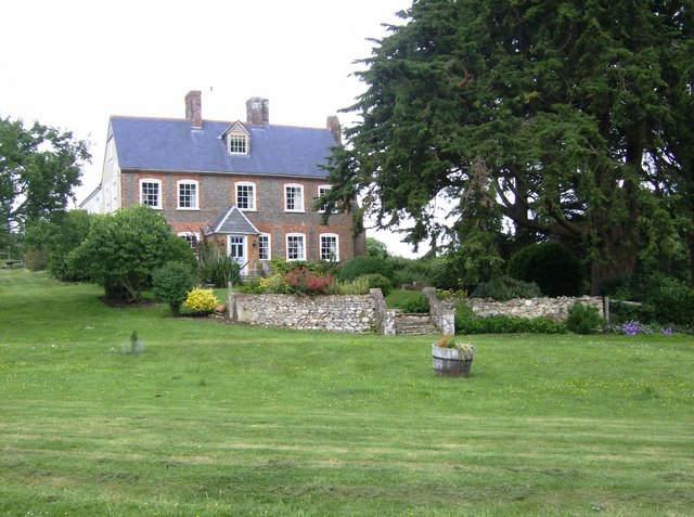
Arreton Manor
Arreton Manor is a manor house in Arreton, Isle of Wight, England. Its history is traced to 872 AD to the time of King Alfred the Great and his parents...

Arreton
Arreton is a village and civil parish in the central eastern part of the Isle of Wight, England. It is about 3 miles south east of Newport. == Name... ==
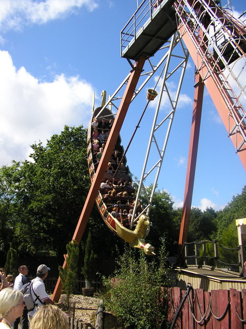
Robin Hill Country Park
Robin Hill Country Park is an 88-acre (36 ha) theme park located in Downend; outside Newport, Isle of Wight. Robin Hill is owned by the Dabell family,...

Downend, Isle of Wight
Downend is a settlement on the Isle of Wight, off the south coast of England. It is the location of the Robin Hill adventure park. According to the Post...
Great East Standen Manor
Great East Standen Manor is a manor house on the Isle of Wight, England. Its history dates to the Norman Conquest; and it was allegedly once the residence...
Mersley
Mersley is a farming hamlet on the Isle of Wight. Mersley is in Newchurch Parish, and is adjacent to the village of Newchurch itself. Mersley is home to...
Nearby Amenities
Located within 500m of 50.681972,-1.2388987Have you been to Arreton Down?
Leave your review of Arreton Down below (or comments, questions and feedback).