Fawley Down
Downs, Moorland in Hampshire Winchester
England
Fawley Down

Fawley Down is an area located in the county of Hampshire, England. Situated in the New Forest National Park, it is renowned for its picturesque landscapes and diverse wildlife. Fawley Down is a combination of downs and moorland, creating a unique habitat for various plant and animal species.
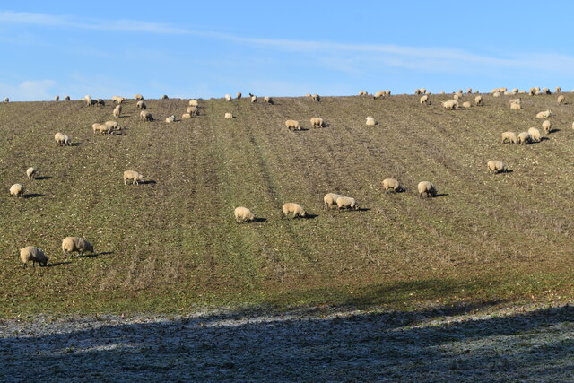
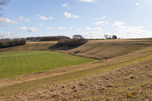
The downs in Fawley Down are characterized by their rolling hills, covered in vibrant green grasses and scattered with pockets of colorful wildflowers. The undulating terrain offers breathtaking panoramic views of the surrounding countryside. These downs are known for their rich biodiversity, with a wide range of bird species, including skylarks and peregrine falcons, making it a popular spot for birdwatching enthusiasts.
In contrast, the moorland in Fawley Down is characterized by its heather-covered expanses. These areas are home to several rare and protected species, such as the Dartford warbler and the silver-studded blue butterfly. The moorland is dotted with gorse bushes and bracken, adding to the scenic beauty of the area.
Fawley Down attracts visitors who enjoy outdoor activities such as walking, hiking, and cycling. There are several well-maintained trails that wind through the downs and moorland, providing opportunities for exploration and discovery. Additionally, Fawley Down offers ample space for picnicking and relaxation, allowing visitors to immerse themselves in the tranquility of nature.
Overall, Fawley Down is a remarkable area in Hampshire, offering visitors a chance to experience the natural beauty of downs and moorland, while also providing a habitat for a diverse range of wildlife.
If you have any feedback on the listing, please let us know in the comments section below.
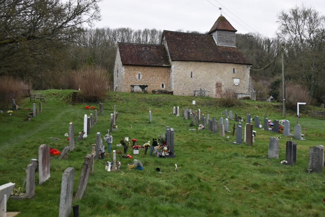
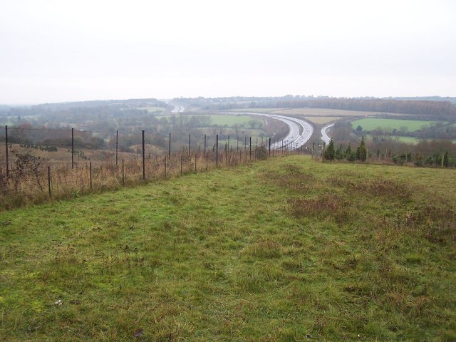
Fawley Down Images
Images are sourced within 2km of 51.040339/-1.2617847 or Grid Reference SU5127. Thanks to Geograph Open Source API. All images are credited.


Fawley Down is located at Grid Ref: SU5127 (Lat: 51.040339, Lng: -1.2617847)
Administrative County: Hampshire
District: Winchester
Police Authority: Hampshire
What 3 Words
///passwords.member.solar. Near Winchester, Hampshire
Nearby Locations
Related Wikis
Twyford Down
Twyford Down is an area of chalk downland lying directly to the southeast of Winchester, Hampshire, England next to St. Catherine's Hill and close to the...
Cheesefoot Head
Cheesefoot Head ( CHESS-fuut) is a large natural amphitheatre (also known as Matterley Bowl) and beauty spot just outside Winchester, England. It is situated...
Homelands (festival)
Homelands was a music festival run by Mean Fiddler Music Group (now known as Festival Republic) which consisted mainly of dance music, both live acts and...

Boomtown (festival)
Boomtown (also known as Boomtown Fair) is a British music festival held annually on the Matterley Estate in South Downs National Park, near Winchester...
Nearby Amenities
Located within 500m of 51.040339,-1.2617847Have you been to Fawley Down?
Leave your review of Fawley Down below (or comments, questions and feedback).