Beningbrough Park
Downs, Moorland in Yorkshire Hambleton
England
Beningbrough Park

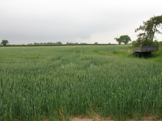
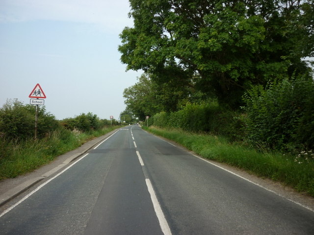
Beningbrough Park is a picturesque estate located in North Yorkshire, England. Situated near the village of Beningbrough, the park covers an area of approximately 200 acres and is known for its stunning landscapes comprising of downs, moorland, and woodland areas.
The park offers a diverse range of natural habitats, providing a haven for a wide variety of flora and fauna. The downs are characterized by expansive grasslands, adorned with colorful wildflowers during the spring and summer months. These open spaces provide a perfect setting for leisurely walks and picnics, offering breathtaking views of the surrounding countryside.
The moorland areas of Beningbrough Park are dominated by heather and gorse, creating a striking purple and yellow carpet during the summer months. This rugged terrain provides a unique habitat for various species of birds, including the red grouse and the curlew, which can often be spotted in the area.
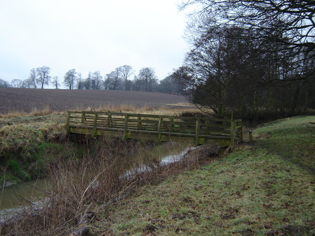
The park also boasts a significant woodland area, consisting of native trees such as oak, beech, and ash. These ancient trees provide shelter for a range of wildlife, including deer, badgers, and numerous bird species. Walking trails and footpaths wind through the woods, offering visitors the chance to immerse themselves in the tranquility of nature.
Beningbrough Park is not only renowned for its natural beauty but also for its historical significance. It is home to Beningbrough Hall, a grand Georgian mansion that houses a collection of portraits from the National Portrait Gallery. Visitors can explore the elegant rooms of the house and admire the impressive artwork on display.
Overall, Beningbrough Park offers a delightful blend of natural beauty, wildlife, and history, making it a must-visit destination for nature enthusiasts and history buffs alike.
If you have any feedback on the listing, please let us know in the comments section below.
Beningbrough Park Images
Images are sourced within 2km of 54.02725/-1.2141828 or Grid Reference SE5159. Thanks to Geograph Open Source API. All images are credited.


Beningbrough Park is located at Grid Ref: SE5159 (Lat: 54.02725, Lng: -1.2141828)
Division: North Riding
Administrative County: North Yorkshire
District: Hambleton
Police Authority: North Yorkshire
What 3 Words
///regretted.baroness.rocked. Near Linton upon Ouse, North Yorkshire
Nearby Locations
Related Wikis

Newton-on-Ouse
Newton-on-Ouse is a village and civil parish in the Hambleton District of North Yorkshire, England, about 7 miles (11 km) north-west of York. It lies on...
River Kyle
The River Kyle is a small river in North Yorkshire, England. At just under 6 miles (9.7 km) long, it is one of the shortest classified main rivers in the...
St Mary's Church, Nun Monkton
St Mary's Church is the parish church of Nun Monkton, in North Yorkshire, in England. == History == Nun Monkton Priory was founded in 1172 by Ivetta of...

River Nidd
The River Nidd is a tributary of the River Ouse in the English county of North Yorkshire. In its first few miles it is dammed three times to create Angram...

Nun Monkton
Nun Monkton is a village and civil parish in the Harrogate district of North Yorkshire, England. It is situated 8 miles (13 km) northwest of York at the...

Beningbrough
Beningbrough is a village and civil parish in the Hambleton district of North Yorkshire, England. The population as taken at the 2011 Census was less than...

Vale of York
The Vale of York is an area of flat land in the northeast of England. The vale is a major agricultural area and serves as the main north–south transport...

Moor Monkton
Moor Monkton is a village and civil parish in the former Harrogate District of North Yorkshire, England. It is situated on the River Nidd and 7 miles...
Nearby Amenities
Located within 500m of 54.02725,-1.2141828Have you been to Beningbrough Park?
Leave your review of Beningbrough Park below (or comments, questions and feedback).