Blewbury Down
Downs, Moorland in Berkshire Vale of White Horse
England
Blewbury Down

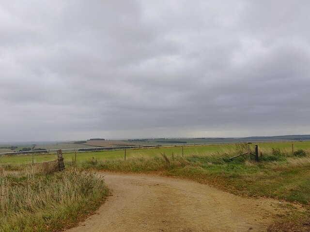
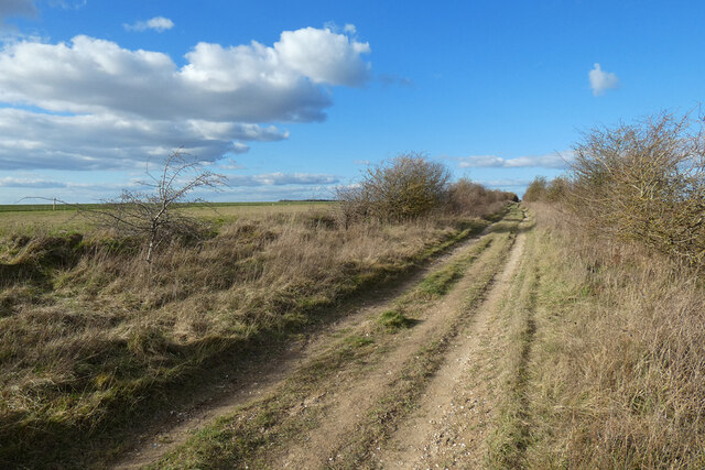
Blewbury Down, located in Berkshire, England, is a stunning area of natural beauty that encompasses downs and moorland. With an approximate area of 10 square kilometers, it offers a diverse landscape that attracts both locals and tourists alike.
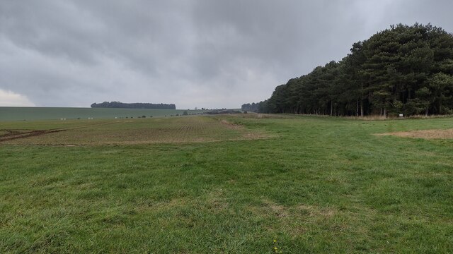
The downs of Blewbury Down are characterized by their rolling hills and expansive grasslands. These open spaces provide a picturesque setting for outdoor activities such as walking, hiking, and picnicking. The downs are also home to a variety of plant species, including wildflowers and grasses, creating a vibrant and colorful backdrop.
In addition to the downs, Blewbury Down boasts extensive moorland areas. Moorland is characterized by its heather-covered hills and open spaces, making it a haven for wildlife enthusiasts and nature lovers. The moorland provides habitat for a range of bird species, including skylarks and curlews, which can be spotted soaring above the landscape.
The area is also rich in archaeological history, with evidence of human settlement dating back thousands of years. Visitors can explore ancient burial mounds and hillforts that tell the story of the region's past. Additionally, there are well-preserved Iron Age earthworks known as the Blewburton Hillfort, offering a glimpse into the area's ancient past.
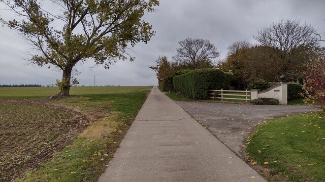
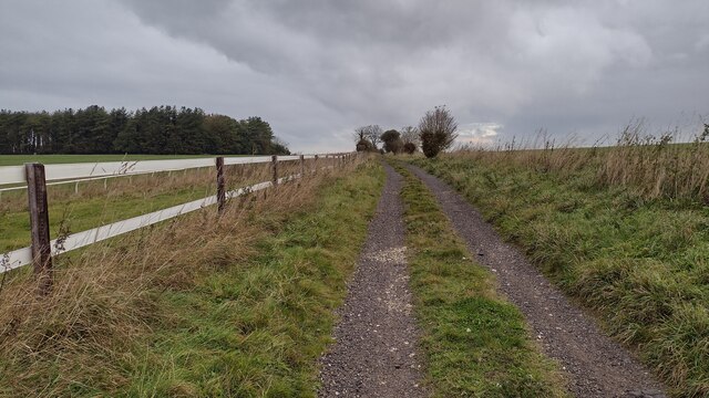
Blewbury Down is easily accessible, with several walking trails and footpaths that allow visitors to explore the area at their own pace. Its stunning natural beauty, diverse landscapes, and historical significance make it a must-visit destination for nature enthusiasts and history buffs alike.
If you have any feedback on the listing, please let us know in the comments section below.
Blewbury Down Images
Images are sourced within 2km of 51.541549/-1.2601087 or Grid Reference SU5182. Thanks to Geograph Open Source API. All images are credited.


Blewbury Down is located at Grid Ref: SU5182 (Lat: 51.541549, Lng: -1.2601087)
Administrative County: Oxfordshire
District: Vale of White Horse
Police Authority: Thames Valley
What 3 Words
///lifts.chestnuts.disbanded. Near Compton, Berkshire
Nearby Locations
Related Wikis
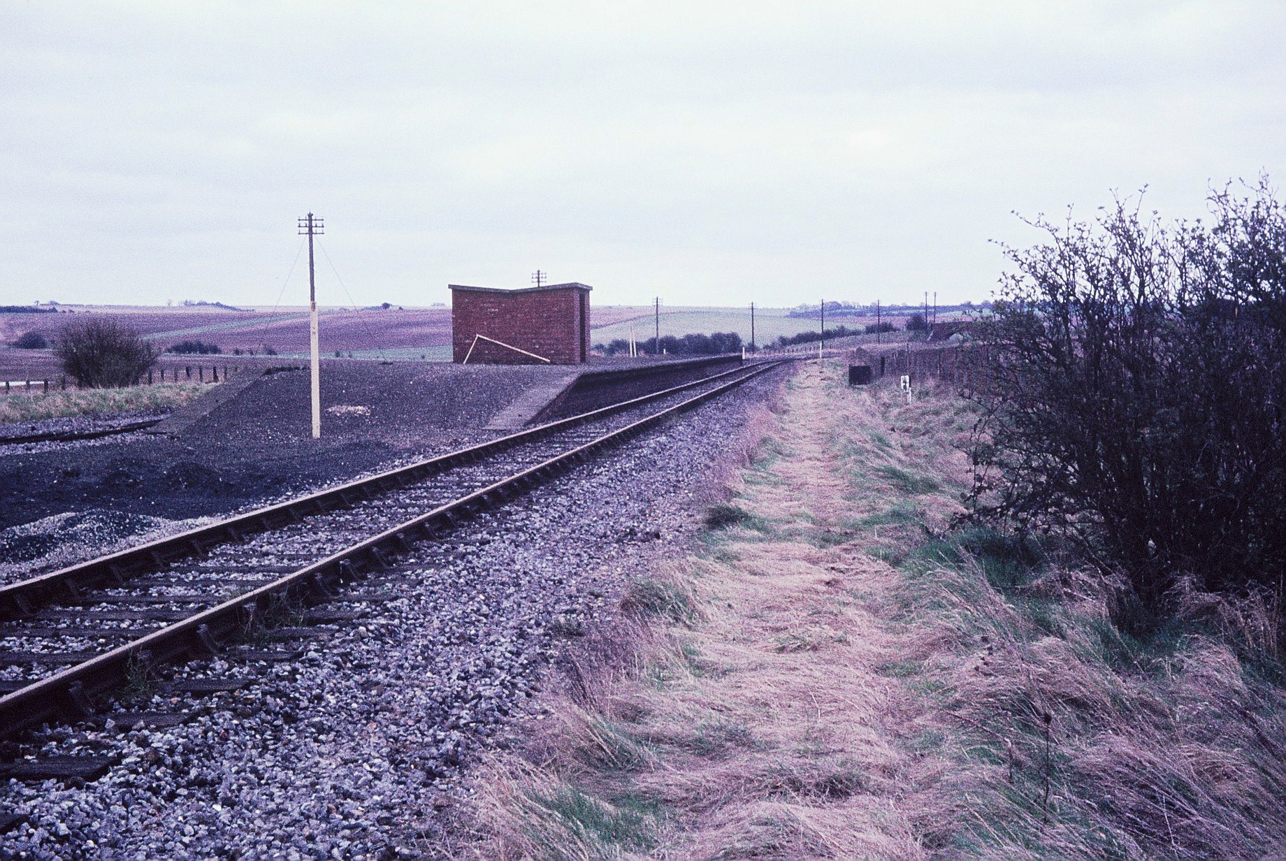
Churn railway station
Churn railway station was a station on the Didcot, Newbury and Southampton Railway in England. It served Churn Down, a remote part of the Berkshire Downs...

East Ilsley
East Ilsley is a village and civil parish in the Berkshire Downs in West Berkshire, north of Newbury. The village is centred immediately east of the A34...
Compton, Berkshire
Compton is a village and civil parish in the River Pang valley in the Berkshire Downs about 6 miles (9.7 km) south of Didcot. == Geography == Compton is...

Aston Upthorpe Downs
Aston Upthorpe Downs is a 38.5-hectare (95-acre) biological Site of Special Scientific Interest south of Aston Upthorpe in Oxfordshire. It is a Nature...
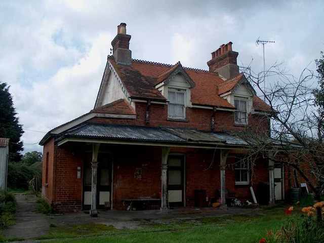
Compton railway station
Compton railway station was a station on the Didcot, Newbury and Southampton Railway in England. Compton was the largest station between Newbury, Berkshire...

The Downs School, Compton
The Downs School is a comprehensive secondary school in the village of Compton, Berkshire, England. It is a state school run by West Berkshire Education...

Battle of Ashdown
The Battle of Ashdown was a West Saxon victory over a Danish Viking army on about 8 January 871. The location of Ashdown is not known, but may be Kingstanding...

Chilton, Oxfordshire
Chilton is a village and civil parish in the Vale of White Horse about 3+1⁄2 miles (6 km) southwest of Didcot. The parish was part of Berkshire until the...
Nearby Amenities
Located within 500m of 51.541549,-1.2601087Have you been to Blewbury Down?
Leave your review of Blewbury Down below (or comments, questions and feedback).