Bondhay Common
Downs, Moorland in Derbyshire Bolsover
England
Bondhay Common
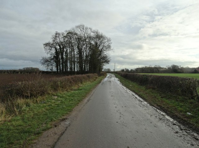
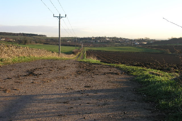
Bondhay Common is a picturesque area located in Derbyshire, England. Situated on the outskirts of the village of Clowne, it is renowned for its stunning natural beauty and diverse wildlife. Covering an expansive area of downs and moorland, Bondhay Common offers an idyllic escape for nature enthusiasts and outdoor adventurers alike.
The common is characterized by its rolling hills, heather-covered moorland, and scattered woodlands, creating a rich tapestry of landscapes. It is home to a variety of plant species, including purple heather, bilberry, and cotton grass, which add vibrant colors to the scenery throughout the year. The common's diverse ecosystem also supports a range of wildlife, including birds such as curlews, lapwings, and skylarks.
Visitors can explore the common via a network of well-maintained footpaths and bridleways, allowing for leisurely walks or more challenging hikes. These paths provide breathtaking views of the surrounding countryside and opportunities to spot wildlife in their natural habitats. Additionally, the common offers ample space for recreational activities such as picnicking, horseback riding, and cycling.
Bondhay Common is managed by local conservation organizations in order to preserve its natural beauty and protect its unique flora and fauna. Efforts have been made to maintain the delicate balance of the ecosystem, ensuring that future generations can continue to enjoy this natural treasure.
Overall, Bondhay Common in Derbyshire is a stunning location that showcases the beauty of the English countryside. Its downs, moorland, and diverse wildlife make it a popular destination for nature lovers and those seeking a tranquil escape from the hustle and bustle of everyday life.
If you have any feedback on the listing, please let us know in the comments section below.
Bondhay Common Images
Images are sourced within 2km of 53.301615/-1.2332651 or Grid Reference SK5178. Thanks to Geograph Open Source API. All images are credited.


Bondhay Common is located at Grid Ref: SK5178 (Lat: 53.301615, Lng: -1.2332651)
Administrative County: Derbyshire
District: Bolsover
Police Authority: Derbyshire
What 3 Words
///clash.presented.defend. Near Whitwell, Derbyshire
Nearby Locations
Related Wikis

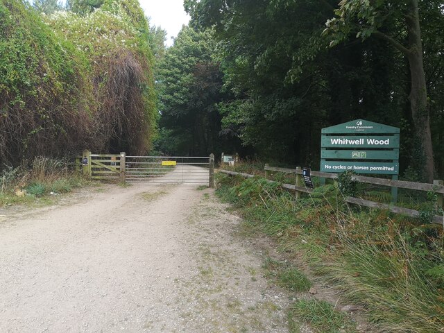
Whitwell Common
Whitwell Common is a village, in Bolsover District, Derbyshire, lying just North-West of Whitwell, straddling the A619, which runs between Chesterfield...

Whitwell Old Hall
Whitwell Old Hall is an early 17th-century manor house at Whitwell, Derbyshire. It is a Grade II* listed building. The manor of Whitwell was purchased...

St Lawrence's Church, Whitwell
St Lawrence's Church, Whitwell is a Grade I listed parish church in the Church of England in Whitwell, Derbyshire. == History == The church dates from...

Whitwell, Derbyshire
Whitwell is a village in Derbyshire, England. The population of the civil parish (including Whitwell Common) taken at the 2011 Census was 3,900.Although...

Harthill, South Yorkshire
Harthill is a village in the Metropolitan Borough of Rotherham (part of South Yorkshire, England), on the border with Derbyshire. It lies between Killamarsh...

Clowne Rural District
Clowne was a rural district in Derbyshire, England from 1894 to 1974. It was created by the Local Government Act 1894 as that part of the Worksop rural...
Bakestone Moor
Bakestone Moor is an area of settlement in Derbyshire, England. It is located on the west side of Whitwell.

Thorpe Salvin
Thorpe Salvin is a village and a civil parish in the Metropolitan Borough of Rotherham in South Yorkshire, England, on the border with Nottinghamshire...
Nearby Amenities
Located within 500m of 53.301615,-1.2332651Have you been to Bondhay Common?
Leave your review of Bondhay Common below (or comments, questions and feedback).