Little Field

Downs, Moorland in Yorkshire Harrogate

England

Little Field

A copse named 'America' Unusual name for woodland near Grange Farm, Nun Monkton.
A copse named 'America' Credit: Jonathan Billinger

Little Field is a charming village located in the picturesque region of Yorkshire, England. Nestled amidst the breathtaking landscape of the Yorkshire Downs and Moorland, this idyllic village offers a perfect escape from the hustle and bustle of city life.

The village itself is small yet vibrant, with a tight-knit community that exudes warmth and friendliness. The traditional stone cottages that line the streets add to the village's charm, giving it a quintessentially English feel. The surrounding countryside is a haven for nature enthusiasts and outdoor lovers, with vast open fields, rolling hills, and scenic walking trails waiting to be explored.

The Yorkshire Downs, with their undulating hills and expansive views, provide a stunning backdrop to the village. This area is renowned for its rich wildlife, from grazing sheep and cows to a variety of bird species. Visitors can enjoy peaceful walks or exhilarating hikes, taking in the panoramic vistas and immersing themselves in nature.

Just a short distance away lies the Moorland, a wild and rugged landscape that is unique to the region. Here, visitors can witness the untamed beauty of heather-covered moors, scattered with ancient stone formations and picturesque streams. The Moorland offers a sense of tranquility and serenity, making it an ideal spot for those seeking a peaceful retreat or a chance to reconnect with nature.

In summary, Little Field in Yorkshire is a captivating village that offers a harmonious blend of natural beauty and rural charm. With its stunning surroundings, friendly community, and close proximity to both the Yorkshire Downs and Moorland, it is a place that truly embodies the essence of the English countryside.

If you have any feedback on the listing, please let us know in the comments section below.
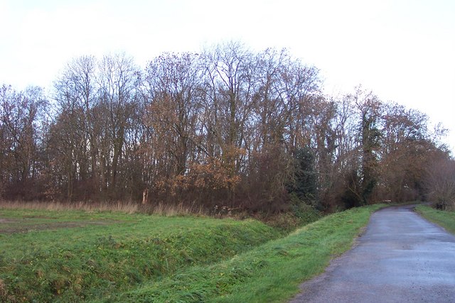
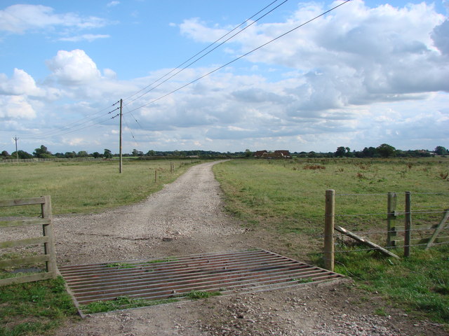
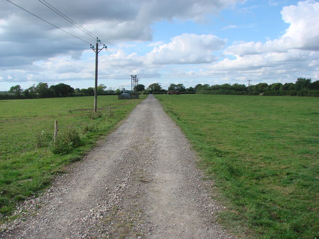
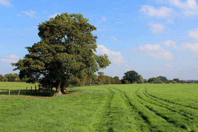
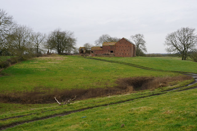
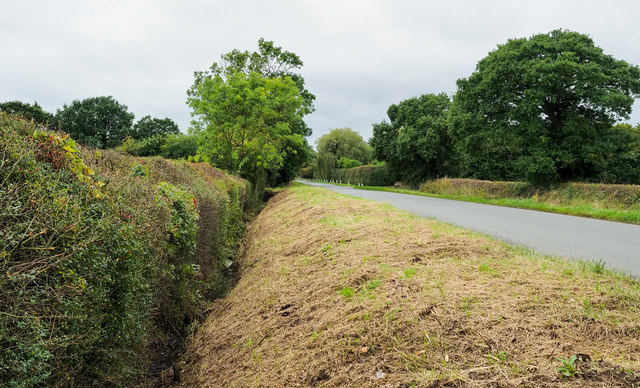
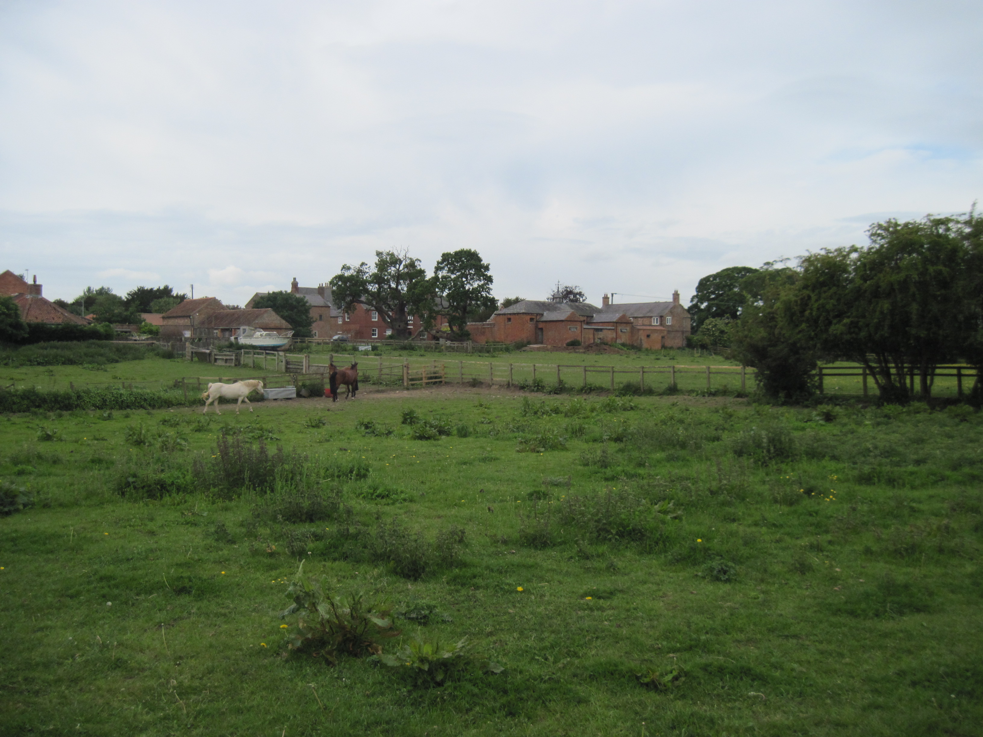
Little Field Images

Images are sourced within 2km of 54.010938/-1.2253092 or Grid Reference SE5057. Thanks to Geograph Open Source API. All images are credited.

A copse named 'America' Unusual name for woodland near Grange Farm, Nun Monkton.
A copse named 'America'
Unusual name for woodland near Grange Farm, Nun Monkton.
Agricultural buildings at Carlton Farm Possibly a Dairy unit, given on map as Monk's Approach (Nun Monkton)
Agricultural buildings at Carlton Farm
Possibly a Dairy unit, given on map as Monk's Approach (Nun Monkton)
Cattle grid on the  track to Westfield Farm
Cattle grid on the track to Westfield Farm
Track to Pool Lane seen from the cattle grid near Westfield Farm.
Public Footpath heading for Moor Monkton The footpath is not visible on the ground, but follows the fence on its journey between Skip Bridge and Moor Monkton.
Public Footpath heading for Moor Monkton
The footpath is not visible on the ground, but follows the fence on its journey between Skip Bridge and Moor Monkton.
Beside a Small Wood called America
Access Lane to Widdington Grange Part of the Nun Monkton Estate.
Access Lane to Widdington Grange
Part of the Nun Monkton Estate.
A Field beside Pool Lane Country scene from Pool Lane - the road that leads to Nun Monkton
A Field beside Pool Lane
Country scene from Pool Lane - the road that leads to Nun Monkton
Frank Lane Gives access to Carlton Farm and Monk's Approach from Pool Lane
Frank Lane
Gives access to Carlton Farm and Monk's Approach from Pool Lane
Carlton Wood As seen from Pool Lane
Carlton Wood
As seen from Pool Lane
Finkle Holme, Low Road off the A59
Deep ditch beside Pool Lane Pool Lane is a minor road serving the small village of Nun Monkton, where it ends - there's no other public road into the settlement. The ditch is on the road's south side in this view to the south-west.
Deep ditch beside Pool Lane
Pool Lane is a minor road serving the small village of Nun Monkton, where it ends - there's no other public road into the settlement. The ditch is on the road's south side in this view to the south-west.
Frank Lane, off Pool Lane Access road to farms on the north side of Pool Lane.
Frank Lane, off Pool Lane
Access road to farms on the north side of Pool Lane.
America is well wooded An odd name for a small block of woodland near Nun Monkton.
America is well wooded
An odd name for a small block of woodland near Nun Monkton.
Land beyond America Beyond the small wood named America there is more low lying agricultural land.
Land beyond America
Beyond the small wood named America there is more low lying agricultural land.
Where the tarmac ends There's a tarmac surfaced road all the way from Pool Lane to this point, but is it a public road? The map would suggest that beyond the turn for Grange Farm it is a bridleway and farm road. At this point rough surfaced farm roads go left and right.
Where the tarmac ends
There's a tarmac surfaced road all the way from Pool Lane to this point, but is it a public road? The map would suggest that beyond the turn for Grange Farm it is a bridleway and farm road. At this point rough surfaced farm roads go left and right.
Road to Widdington Grange Farm road which is part of the Monkton Estate. In the distance is the spire of Newton on Ouse church, a short distance of just under a mile as the crow flies, but a long way round by road.
Road to Widdington Grange
Farm road which is part of the Monkton Estate. In the distance is the spire of Newton on Ouse church, a short distance of just under a mile as the crow flies, but a long way round by road.
Field  Barn  at  Finkle  Holme On the footpath from Moor Monkton to Skip Bridge on the A59.
Field Barn at Finkle Holme
On the footpath from Moor Monkton to Skip Bridge on the A59.
Show me another place!

Little Field is located at Grid Ref: SE5057 (Lat: 54.010938, Lng: -1.2253092)

Division: West Riding

Administrative County: North Yorkshire

District: Harrogate

Police Authority: North Yorkshire

What 3 Words

///crowbar.lifestyle.daytime. Near Linton upon Ouse, North Yorkshire

Related Wikis

Nun Monkton

Nun Monkton is a village and civil parish in the Harrogate district of North Yorkshire, England. It is situated 8 miles (13 km) northwest of York at the...

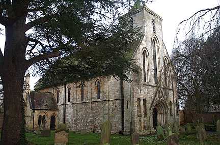
St Mary's Church, Nun Monkton

St Mary's Church is the parish church of Nun Monkton, in North Yorkshire, in England. == History == Nun Monkton Priory was founded in 1172 by Ivetta of...

River Nidd

The River Nidd is a tributary of the River Ouse in the English county of North Yorkshire. In its first few miles it is dammed three times to create Angram...

Moor Monkton

Moor Monkton is a village and civil parish in the former Harrogate District of North Yorkshire, England. It is situated on the River Nidd and 7 miles...

All Saints' Church, Moor Monkton

All Saints' Church is the parish church of Moor Monkton, a village north-west of York in England. The church dates from the 12th century, when the nave...

Beningbrough

Beningbrough is a village and civil parish in the Hambleton district of North Yorkshire, England. The population as taken at the 2011 Census was less than...

Red House, Moor Monkton

The Red House is a historic building in Moor Monkton, north-west of York in England. == History == The first Red House was constructed before 1342, when...

Newton-on-Ouse

Newton-on-Ouse is a village and civil parish in the Hambleton District of North Yorkshire, England, about 7 miles (11 km) north-west of York. It lies on...

Nearby Amenities

Located within 500m of 54.010938,-1.2253092
Nun Monkton
Is In Country: UK
Is In Historic County: Yorkshire
Place: village
Population: 250
Source: NPE
Wikidata: Q2136707
Wikipedia: en:Nun Monkton
Lat/Long: 54.0131358/-1.2280334
Maypole
Height: 27
Man Made: maypole
Lat/Long: 54.0135891/-1.2275865
Public Bookcase
Nun Monkton Little Library
Booth: K6
Disused Amenity: telephone
Man Made: telephone_box
Public Bookcase Type: phone_box
Lat/Long: 54.0140982/-1.2238689
Bench
Backrest: yes
Lat/Long: 54.0142057/-1.2276307
Post Box
Check Date: 2021-09-25
Post Box Type: lamp
Lat/Long: 54.0143937/-1.2274064
Defibrillator
Addr Postcode: YO26 8ER
Emergency: defibrillator
Indoor: no
Location: outside Nun Monkton Primary School, by entrance
Ref: AC27
Lat/Long: 54.0144283/-1.2284799
Bench
Lat/Long: 54.0138022/-1.2257056
Generator Method: photovoltaic
Generator Output Electricity: yes
Generator Source: solar
Generator Type: solar_photovoltaic_panel
Power: generator
Lat/Long: 54.0139407/-1.2238271
Power: pole
Lat/Long: 54.0107345/-1.2323476
Power: pole
Lat/Long: 54.0110908/-1.2307722
Power: pole
Lat/Long: 54.0110087/-1.2291503
Power: pole
Lat/Long: 54.0109707/-1.2281933
Power: pole
Lat/Long: 54.0113598/-1.2272427
Power: pole
Lat/Long: 54.0125662/-1.223915
Fixme: What happens here with the overhead line? Looks like this is probably an anchor?
Power: pole
Lat/Long: 54.0125884/-1.2238496
Power: pole
Lat/Long: 54.0121219/-1.2251031
Power: pole
Lat/Long: 54.0116816/-1.2264031
Line Management: branch
Power: pole
Lat/Long: 54.0121636/-1.2223894
Power: pole
Lat/Long: 54.0118012/-1.2208561
Power: pole
Lat/Long: 54.0114462/-1.2195168
Power: pole
Lat/Long: 54.0108081/-1.2180857
Power: pole
Lat/Long: 54.0125668/-1.2222469
Information: map
Tourism: information
Lat/Long: 54.013652/-1.2252849
The data included in this document is from www.openstreetmap.org. The data is made available under ODbL.

Have you been to Little Field?

Leave your review of Little Field below (or comments, questions and feedback).