Seaclose Park

Downs, Moorland in Hampshire

England

Seaclose Park

Pedestrian crossing, Dodnor Lane With the sign for the public footpath to Newport.
Pedestrian crossing, Dodnor Lane Credit: Paul Coueslant

Seaclose Park is a picturesque green space located in Newport, Isle of Wight, Hampshire. Spread across an area of approximately 90 acres, the park offers a diverse landscape consisting of downs and moorland. It is situated adjacent to the River Medina, providing stunning views and a tranquil atmosphere for visitors.

The park is known for its rich natural beauty and is a popular destination for nature enthusiasts. The downs within Seaclose Park feature rolling hills covered in lush green grass, making it an ideal spot for picnics, walks, and outdoor activities. The area is home to a variety of plant species, including wildflowers, which add to the park's vibrant and colorful ambiance.

In addition to the downs, Seaclose Park also boasts moorland areas characterized by open expanses and heather-covered terrain. This unique landscape attracts a wide range of wildlife, including birds, rabbits, and other small mammals, making it a haven for wildlife enthusiasts and birdwatchers.

The park offers several amenities to enhance visitors' experiences, such as well-maintained footpaths and trails for walking and cycling. There are also designated areas for sports activities, including football pitches and a skate park. Children can enjoy the playgrounds equipped with swings, slides, and climbing frames.

Seaclose Park hosts various events throughout the year, such as music festivals and community gatherings, attracting both locals and tourists. The park's convenient location near the town center and its ample parking facilities make it easily accessible for visitors.

Overall, Seaclose Park in Hampshire offers a diverse natural landscape, recreational opportunities, and a peaceful retreat from the bustling city life.

If you have any feedback on the listing, please let us know in the comments section below.

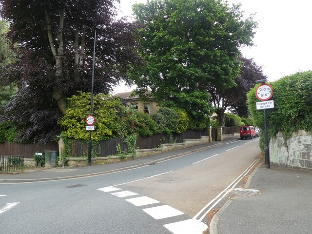
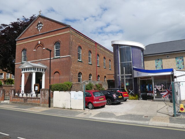
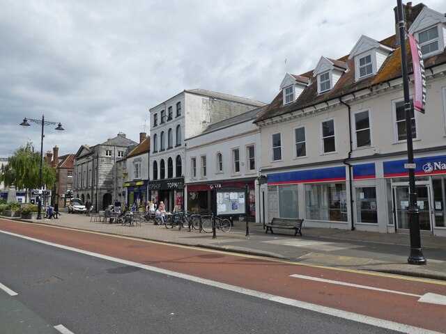
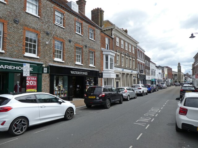
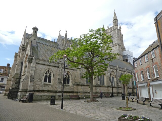
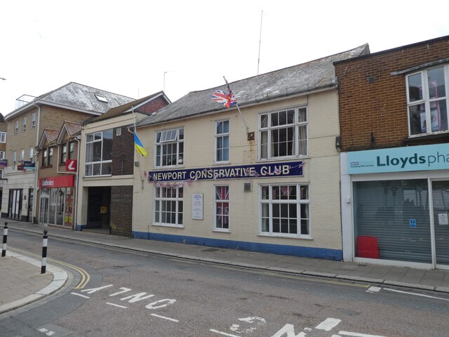
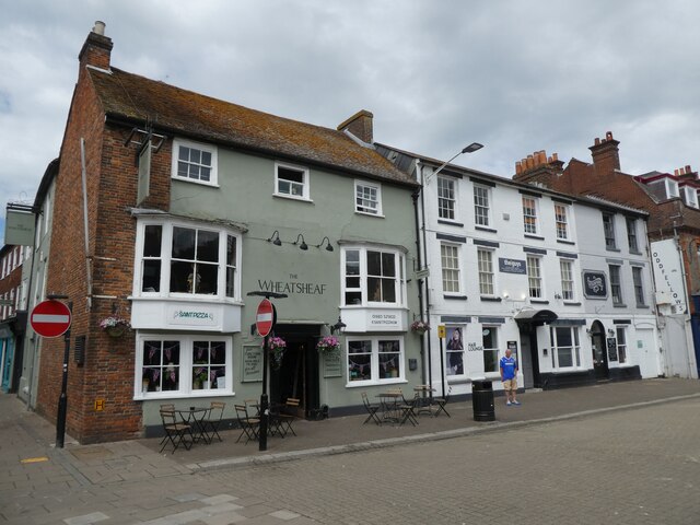
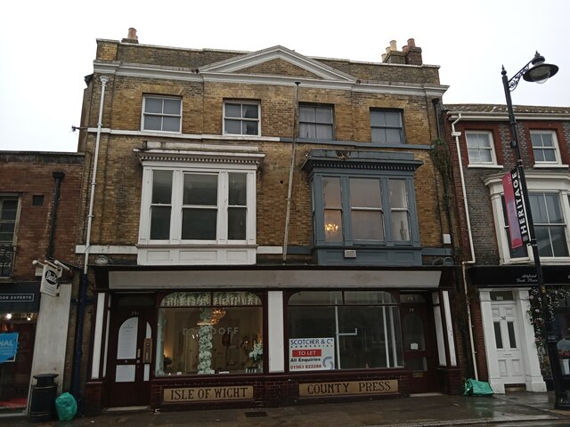
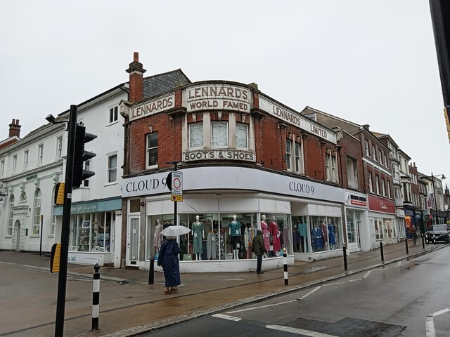
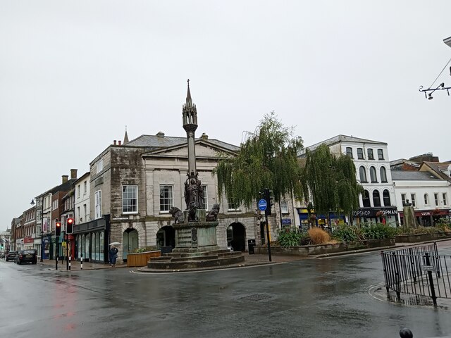
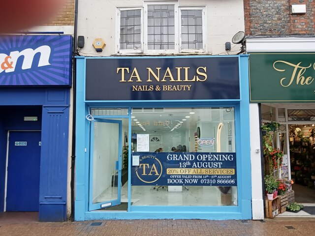
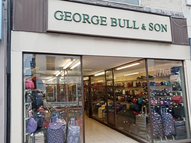
Seaclose Park Images

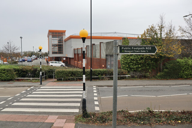
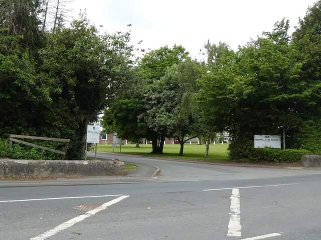
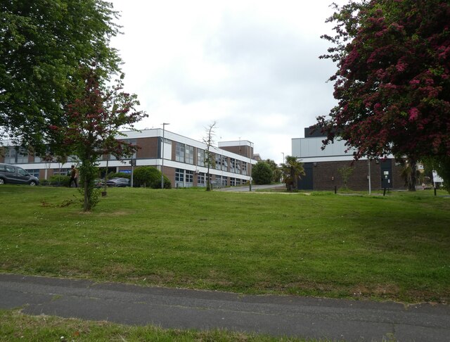
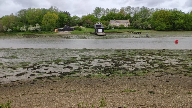
Images are sourced within 2km of 50.708101/-1.2865711 or Grid Reference SZ5090. Thanks to Geograph Open Source API. All images are credited.

Pedestrian crossing, Dodnor Lane With the sign for the public footpath to Newport.
Pedestrian crossing, Dodnor Lane
With the sign for the public footpath to Newport.
Entrance, HM Prison, Parkhurst
St Mary's Hospital, Newport
Paddle Steamer Ryde The slow deterioration of the paddle steamer Ryde continues (see <a title="https://www.geograph.org.uk/photo/1854261" href="https://www.geograph.org.uk/photo/1854261">Link</a> when although still "beached", she was in somewhat better health!!)
Paddle Steamer Ryde
The slow deterioration of the paddle steamer Ryde continues (see Link when although still "beached", she was in somewhat better health!!)
Newport Rowing Club Newport Rowing Club boathouse on the River Medina
Newport Rowing Club
Newport Rowing Club boathouse on the River Medina
Turning for Watergate Road
Newport Congregational Church
St James Square, Newport
High Street, Newport
Newport Minster
Newport Minster
Newport Conservative Club
The Wheatsheaf, Newport
Former newspaper office, Newport
Former world famed shop, Newport
My one day of holiday ... ...and it rains!
(Newport town centre)
My one day of holiday ...
...and it rains! (Newport town centre)
Toe nails? I thought, that's a very specific shop- Newport town centre
Toe nails?
I thought, that's a very specific shop- Newport town centre
Lovely old fashioned shop front High Street, Newport
Lovely old fashioned shop front
High Street, Newport
Post boxes, Newport High Street
Show me another place!

Seaclose Park is located at Grid Ref: SZ5090 (Lat: 50.708101, Lng: -1.2865711)

Unitary Authority: Isle of Wight

Police Authority: Hampshire

What 3 Words

///altitude.fillings.hurt. Near Newport, Isle of Wight

Related Wikis

Isle of Wight Festival 2019

The Isle of Wight Festival 2019 was the eighteenth edition of the revived Isle of Wight Festival, which took place at Seaclose Park in Newport, on the...

Seaclose Park

Seaclose Park is a large parkland site situated to the North East of Newport on the Isle of Wight. It lies on the eastern banks of the River Medina. It...

Fairlee, Isle of Wight

Fairlee is a suburb of Newport, on the Isle of Wight, on the east side of the River Medina. Fairlee Road runs through the area. During a week in June each...

Rock Island 2002

Rock Island was the first revived Isle of Wight Festival to take place on the Seaclose Park site in Newport on the Isle of Wight. It was a one-day event...

Nearby Amenities

Located within 500m of 50.708101,-1.2865711
Source: Bing
Lat/Long: 50.704809/-1.2904705
Post Box
Collection Plate: CP1
Collection Times: Mo-Fr 16:00, Sa 12:00
Operator: Royal Mail
Operator Wikidata: Q638098
Post Box Type: pillar
Ref: PO30 46
Royal Cypher: EIIR
Royal Cypher Wikidata: Q33102113
Website: https://www.royalmail.com/services-near-you/postbox/seaclose-stores-po30-1af/0000PO3046
Lat/Long: 50.7057801/-1.2856918
Post Box
Check Date Collection Times: 2017-10-01
Collection Plate: CP1D
Collection Times: Mo-Fr 09:00; Sa 07:00; Su off
Operator: Royal Mail
Operator Wikidata: Q638098
Post Box Type: pillar
Ref: PO30 64D
Ref GB Uprn: 10015382987
Royal Cypher: EIIR
Royal Cypher Wikidata: Q33102113
Website: https://www.royalmail.com/services-near-you/postbox/halberry-lane-po30-1ag/0000PO3064
Lat/Long: 50.7071121/-1.2825825
Source: Bing
Lat/Long: 50.7058702/-1.2922626
Source: Bing
Lat/Long: 50.7064329/-1.2921851
Source: Bing
Lat/Long: 50.7071147/-1.2919572
Source: Bing
Lat/Long: 50.707732/-1.2913556
Source: PGS
Lat/Long: 50.7080717/-1.2909089
Source: PGS
Lat/Long: 50.70871/-1.2909137
Source: PGS
Lat/Long: 50.7087564/-1.290743
Source: PGS
Lat/Long: 50.7094031/-1.2904198
Source: PGS
Lat/Long: 50.7101615/-1.290143
Source: PGS
Lat/Long: 50.7073048/-1.2903809
Source: PGS
Lat/Long: 50.7070113/-1.2907585
Seamark Light Category: vertical
Seamark Light Character: F
Seamark Light Colour: red
Seamark Light Multiple: 2
Seamark Type: light_minor
Lat/Long: 50.706759/-1.291003
Source: PGS
Lat/Long: 50.7060344/-1.2912413
Source: PGS
Lat/Long: 50.7058341/-1.2912666
Source: PGS
Lat/Long: 50.7047957/-1.2908099
Source: PGS
Lat/Long: 50.7044802/-1.2907027
Source: PGS
Lat/Long: 50.7114/-1.2899463
Source: PGS
Lat/Long: 50.7110016/-1.2899243
Source: PGS
Lat/Long: 50.7104135/-1.290005
Source: PGS
Lat/Long: 50.7105411/-1.2884166
Source: PGS
Lat/Long: 50.7115756/-1.2878832
Source: PGS
Lat/Long: 50.7120283/-1.2875528
Source: Bing
Lat/Long: 50.7083138/-1.2911482
Source: Bing
Lat/Long: 50.7069038/-1.2900955
Source: Bing
Lat/Long: 50.7064102/-1.2894946
Crossing
Bicycle: yes
Crossing: unmarked
Crossing Markings: no
Kerb: lowered
Tactile Paving: no
Lat/Long: 50.7088478/-1.2922485
Crossing
Bicycle: yes
Crossing: uncontrolled
Kerb: lowered
Lat/Long: 50.7064483/-1.2903127
Barrier: cycle_barrier
Lat/Long: 50.7064312/-1.2929149
Bus Stop
Atkinson Drive
Bench: no
Bin: no
Bus: yes
Contact Website: https://www.islandbuses.info/stops/230000006980
Naptan AtcoCode: 230000006980
Naptan Bearing: SE
Naptan CommonName: Atkinson Drive
Naptan Indicator: Adj
Naptan NaptanCode: iowgatp
Naptan Street: Atkinson Drive
Public Transport: platform
Shelter: no
Tactile Paving: no
Lat/Long: 50.7064049/-1.2819718
Bus Stop
Medina Leisure Centre
Alt Name: Medina High School;Mountbatten Centre
Bench: no
Bin: no
Bus: yes
Contact Website: https://www.islandbuses.info/stops/230000007130
Lit: yes
Naptan AtcoCode: 230000007130
Naptan Bearing: SW
Naptan CommonName: Mountbatten Centre
Naptan Indicator: towards Newport
Naptan NaptanCode: iowgdaw
Naptan Street: Fairlee Road
Operator: Southern Vectis
Public Transport: platform
Shelter: no
Short Name: Leisure Centre
Tactile Paving: no
Lat/Long: 50.7081683/-1.2828725
Bus Stop
Medina Leisure Centre
Alt Name: Medina High School;Mountbatten Centre
Bench: yes
Bin: no
Bus: yes
Contact Website: https://www.islandbuses.info/stops/230000007140
Lit: yes
Naptan AtcoCode: 230000007140
Naptan Bearing: N
Naptan CommonName: Mountbatten Centre
Naptan Indicator: towards Ryde
Naptan NaptanCode: iowgdga
Naptan Street: Fairlee Road
Operator: Southern Vectis
Public Transport: platform
Ref GB Uprn: 10094231368
Shelter: yes
Short Name: Leisure Centre
Tactile Paving: no
Lat/Long: 50.708754/-1.2828224
Bus Stop
Gordon Road
Bench: no
Bus: yes
Contact Website: https://www.islandbuses.info/stops/230000007240
Naptan AtcoCode: 230000007240
Naptan Bearing: N
Naptan CommonName: Gordon Road
Naptan Indicator: Adj
Naptan NaptanCode: iowgdjm
Naptan Street: Halberry Lane
Public Transport: platform
Shelter: no
Source: naptan_import
Tactile Paving: no
Lat/Long: 50.7052827/-1.2835656
Bus Stop
Seaclose
Bench: no
Bin: yes
Bus: yes
Contact Website: https://www.islandbuses.info/stops/230000007500
Lit: yes
Naptan AtcoCode: 230000007500
Naptan Bearing: S
Naptan CommonName: Seaclose
Naptan Indicator: towards Newport
Naptan NaptanCode: iowgdwd
Naptan Street: Fairlee Road
Network: Southern Vectis
Network Wikidata: Q4049829
Network Wikipedia: en:Southern Vectis
Operator: Southern Vectis
Public Transport: platform
Shelter: no
Source: naptan_import
Tactile Paving: no
Lat/Long: 50.7056595/-1.2859389
Bus Stop
Seaclose
Bench: no
Bin: yes
Bus: yes
Contact Website: https://www.islandbuses.info/stops/230000007510
Lit: yes
Naptan AtcoCode: 230000007510
Naptan Bearing: N
Naptan CommonName: Seaclose
Naptan Indicator: towards Ryde
Naptan NaptanCode: iowgdwg
Naptan Street: Fairlee Road
Public Transport: platform
Shelter: no
Source: naptan_import
Tactile Paving: no
Lat/Long: 50.7054237/-1.2864033
Source: Bing
Lat/Long: 50.7081465/-1.2909322
Source: Bing
Lat/Long: 50.7064601/-1.2889698
Power: pole
Source: Bing
Lat/Long: 50.7084629/-1.2799984
Power: pole
Source: Bing
Lat/Long: 50.7084578/-1.2813396
Theatre
Medina Theatre
Operator: Isle of Wight Council
Lat/Long: 50.7109034/-1.2833474
Medina Leisure Centre
Addr City: Newport
Addr Country: GB
Addr Postcode: PO30 2DX
Addr Street: Fairlee Road
Brand: 1Leisure
Brand Email: leisureinfo@iow.gov.uk
Brand Facebook: https://www.facebook.com/1Leisure
Brand Instagram: https://www.instagram.com/1leisure/
Brand Phone: +44 1983 823880
Brand Twitter: https://twitter.com/1_leisure
Check Date Opening Hours: 2023-05-20
Contact Email: medinaleisure@iow.gov.uk
Contact Phone: +44 1983 823882
Contact Website: https://1leisure.co.uk/medina-centre/
Fhrs Id: 542191
Leisure: sports_centre
Opening Hours: Mo-Fr 06:00-21:00; Sa,Su 08:00-17:00
Operator: Isle of Wight Council
Operator Wikidata: Q6084095
Lat/Long: 50.7111073/-1.2843208
School
Medina College
Addr City: Newport
Addr Country: GB
Addr County: Isle of Wight
Addr Postcode: PO30 2DX
Addr Street: Fairlee Road
Fhrs Id: 1454790
Wikidata: Q6806906
Lat/Long: 50.7114087/-1.2828159
Barrier: height_restrictor
Maxheight: 2
Lat/Long: 50.7088304/-1.2922018
Traffic Signals
Lat/Long: 50.7058624/-1.286051
Barrier: stile
Lat/Long: 50.7105771/-1.2909419
Source: Mapillary
Traffic Calming: hump
Lat/Long: 50.706196/-1.2908258
Bench
Backrest: no
Leisure: picnic_table
Mapillary: 908552896599352
Survey Date: 2018-04-18
Lat/Long: 50.7093934/-1.2905503
Crossing
Button Operated: yes
Crossing: traffic_signals
Crossing Island: yes
Crossing Ref: pelican
Kerb: lowered
Tactile Paving: yes
Traffic Signals Vibration: yes
Lat/Long: 50.7082255/-1.282941
Traffic Signals
Source: Bing
Traffic Signals Direction: forward
Lat/Long: 50.7082612/-1.283203
Leisure: slipway
Lat/Long: 50.7048415/-1.2906817
Traffic Signals
Lat/Long: 50.7058834/-1.2857677
Artwork Type: statue
Tourism: artwork
Lat/Long: 50.7084145/-1.2911176
Seamark Beacon Lateral Category: port
Seamark Beacon Lateral Colour: red
Seamark Beacon Lateral Shape: post
Seamark Light Category: horizontal
Seamark Light Character: F
Seamark Light Colour: red
Seamark Light Height: 11
Seamark Light Multiple: 2
Seamark Light Range: 2
Seamark Topmark Shape: rhombus
Seamark Type: beacon_lateral
Lat/Long: 50.706843/-1.2904899
Seamark Beacon Lateral Category: port
Seamark Beacon Lateral Colour: white
Seamark Beacon Lateral Shape: post
Seamark Light Category: horizontal
Seamark Light Character: F
Seamark Light Colour: red
Seamark Light Height: 7
Seamark Light Multiple: 2
Seamark Light Range: 2
Seamark Topmark Shape: rhombus
Seamark Type: beacon_lateral
Lat/Long: 50.70724/-1.2904115
Seamark Buoy Lateral Category: port
Seamark Buoy Lateral Colour: red
Seamark Buoy Lateral Shape: can
Seamark Buoy Lateral System: iala-a
Seamark Type: buoy_lateral
Lat/Long: 50.7082136/-1.2898086
Seamark Buoy Lateral Category: port
Seamark Buoy Lateral Colour: red
Seamark Buoy Lateral Shape: can
Seamark Buoy Lateral System: iala-a
Seamark Type: buoy_lateral
Lat/Long: 50.7107838/-1.2889702
Traffic Signals
Lat/Long: 50.7056611/-1.2860259
Action on Hearing Loss
Addr City: Newport
Addr Country: GB
Addr Housenumber: 17B
Addr Postcode: PO30 5UX
Addr Street: River Way
Shop: yes
Lat/Long: 50.7074877/-1.2927905
Mountbatten Hospice Shop
Addr City: Newport
Addr Country: GB
Addr Housenumber: 16A
Addr Postcode: PO30 5UX
Addr Street: River Way
Brand: Mountbatten
Operator: Earl Mountbatten Hospice
Phone: +44 1983 244230
Second Hand: only
Shop: furniture
Website: https://www.mountbatten.org.uk/mountbatten-hospice-shop
Lat/Long: 50.7071768/-1.2931144
Barrier: bollard
Lat/Long: 50.7086376/-1.2923044
Toilets
Access: yes
Female: yes
Male: yes
Ref GB Uprn: 10023713213
Lat/Long: 50.7062064/-1.2883847
Noexit: yes
Lat/Long: 50.7065893/-1.2903619
Entrance: main
Lat/Long: 50.7069646/-1.2906826
Leisure: picnic_table
Lat/Long: 50.7071548/-1.2903202
Leisure: picnic_table
Lat/Long: 50.7071862/-1.2903896
Isle of Wight Festival Site (June)
Tourism: attraction
Website: https://isleofwightfestival.com/
Lat/Long: 50.7112618/-1.2861877
Entrance: yes
Lat/Long: 50.7044964/-1.2905874
Parking
Access: customers
Parking: surface
Surface: asphalt
Lat/Long: 50.7074299/-1.2925667
Parking
Access: customers
Parking: surface
Surface: asphalt
Lat/Long: 50.7075574/-1.2922408
Parking
Access: customers
Parking: surface
Surface: asphalt
Lat/Long: 50.7080754/-1.2920973
Leisure: picnic_table
Lat/Long: 50.7074862/-1.2899655
Leisure: picnic_table
Lat/Long: 50.7073435/-1.2901559
Hiking: yes
Information: guidepost
Tourism: information
Lat/Long: 50.7097053/-1.2882717
Artwork Type: sculpture
Mapillary: 1468194830219443
Survey Date: 2021-08-08
Tourism: artwork
Lat/Long: 50.7098234/-1.2883951
Power: substation
Ref GB Uprn: 10025276739
Lat/Long: 50.7056147/-1.2858745
Power: substation
Ref GB Uprn: 10025276620
Lat/Long: 50.7074683/-1.2843436
Barrier: bollard
Bollard: removable
Lat/Long: 50.7086831/-1.2922764
Barrier: bollard
Lat/Long: 50.7086183/-1.2923218
Noexit: yes
Lat/Long: 50.7069282/-1.2929066
Leisure: picnic_table
Lat/Long: 50.7076416/-1.2809821
Leisure: picnic_table
Lat/Long: 50.7075762/-1.2808252
Leisure: picnic_table
Lat/Long: 50.7075983/-1.2808775
Leisure: picnic_table
Lat/Long: 50.7076195/-1.2809325
Leisure: picnic_table
Lat/Long: 50.7076628/-1.2810351
Entrance: yes
Lat/Long: 50.7075546/-1.2809272
Entrance: yes
Lat/Long: 50.7076267/-1.2813355
Entrance: yes
Lat/Long: 50.7074743/-1.2813426
Entrance: main
Lat/Long: 50.7072195/-1.2815789
Social Facility
Beaulieu House Respite Centre
Addr City: Newport
Addr Country: GB
Addr Postcode: PO30 2EW
Addr Street: Fairlee Road
Fhrs Id: 541678
Social Facility: outreach
Source Addr: FHRS Open Data
Lat/Long: 50.709797/-1.283834
Entrance: yes
Lat/Long: 50.7110194/-1.2819516
Fairlee
Is In: Newport, Isle of Wight
Place: suburb
Wikidata: Q5430524
Lat/Long: 50.7064755/-1.2828147
Seaclose
Is In: Newport, Isle of Wight
Place: suburb
Lat/Long: 50.7059846/-1.2889194
JR Zone
Addr City: Newport
Addr Housenumber: 55
Addr Postcode: PO30 5FA
Addr Street: Manners View
Contact Facebook: https://www.facebook.com/jrzone.newport
Contact Twitter: https://twitter.com/JRZoneNewport
Email: info@jrzone.co.uk
Fhrs Id: 1222385
Food: yes
Indoor Seating: yes
Internet Access: wlan
Internet Access Fee: no
Leisure: indoor_play
Outdoor Seating: no
Phone: +44 1983 559272
Toilets: yes
Website: https://jrzone.co.uk/
Lat/Long: 50.7095537/-1.2930589
Mulhern Engineering
Shop: car_repair
Lat/Long: 50.7068756/-1.2930899
Entrance: exit
Lat/Long: 50.7069818/-1.2931815
Car Wash
British Hand Car Wash
Addr City: Newport
Addr Country: GB
Addr Street: River Way
Automated: no
Check Date: 2023-09-23
Contact Phone: +44 7999 995 990
Opening Hours: Mo-Su 08:30-19:00
Payment Cash: yes
Payment Credit Cards: no
Payment Debit Cards: no
Self Service: no
Lat/Long: 50.7069471/-1.2932562
Entrance: yes
Lat/Long: 50.706961/-1.2933389
Itchy Raccoon
Addr City: Newport
Addr Country: GB
Addr Housenumber: 52
Addr Postcode: PO30 2EJ
Addr Street: Fairlee Road
Contact Facebook: https://www.facebook.com/ItchyRaccoon/
Fhrs Id: 894841
Source Addr Postcode: FHRS Open Data
Survey Date: 2020-01-13
Lat/Long: 50.7044774/-1.2870947
Lifeline Alarms & Security Services
Check Date: 2023-09-23
Contact Facebook: https://www.facebook.com/lifelinealarms/
Contact Instagram: https://instagram.com/lifelinealarms
Contact Linkedin: https://twitter.com/Lifelinealarms
Contact Twitter: https://twitter.com/Lifelinealarms
Contact Youtube: https://www.youtube.com/channel/UCQ7uCclDsBq2dL6NHrfm_QA
Email: info@lifeline-security.co.uk
Office: company
Phone: +44 1983 521621
Website: https://www.lifeline-security.co.uk/
Lat/Long: 50.7077622/-1.2924176
Defibrillator
Check Date: 2023-09-23
Defibrillator Location: On outside wall of Lifeline
Emergency: defibrillator
Indoor: no
Level: 0
Opening Hours: 24/7
Wheelchair: yes
Lat/Long: 50.7078003/-1.2925601
Power: substation
Ref GB Uprn: 10025271838
Lat/Long: 50.7065265/-1.2897563
Defibrillator
Defibrillator Location: Inside Premier Inn
Emergency: defibrillator
Indoor: yes
Not Ref GB The Circuit: 2B4E55AF-0276-44B0-AC04-AFA3010AFA65
Lat/Long: 50.7064823/-1.2909257
Barrier: cycle_barrier
Lat/Long: 50.7082923/-1.2830877
Barrier: cycle_barrier
Lat/Long: 50.7082496/-1.2830632
Traffic Signals
Source: Bing
Traffic Signals Direction: forward
Lat/Long: 50.7082721/-1.2829017
Crossing
Button Operated: yes
Crossing: traffic_signals
Crossing Island: yes
Crossing Ref: pelican
Kerb: lowered
Tactile Paving: yes
Traffic Signals Vibration: yes
Lat/Long: 50.7082943/-1.2831684
Barrier: kerb
Lat/Long: 50.7064205/-1.2903192
Barrier: bollard
Lat/Long: 50.7049535/-1.2904537
Barrier: kerb
Lat/Long: 50.7064714/-1.2903074
Barrier: lift_gate
Motor Vehicle: destination
Lat/Long: 50.7062235/-1.2908166
Barrier: bollard
Lat/Long: 50.7090796/-1.2920835
CROSS LANE
Operator: Scottish and Southern Electricity Networks
Operator Phone: +44 8000 727282
Operator Wikidata: Q43080530
Power: substation
Ref: 3512399
Ref GB Uprn: 10024896444
Lat/Long: 50.704451/-1.2836055
Social Facility
Rose Cottage
Addr City: Newport
Addr Country: GB
Addr Housenumber: 171
Addr Street: Fairlee Road
Social Facility: nursing_home
Social Facility For: senior
Lat/Long: 50.7107884/-1.2809587
Power: substation
Ref GB Uprn: 10025275689
Lat/Long: 50.7059286/-1.2806564
Power: substation
Ref GB Uprn: 10024899340
Lat/Long: 50.7098703/-1.2926202
Power: substation
Lat/Long: 50.709907/-1.2923493
Power: substation
Ref GB Uprn: 10024893350
Lat/Long: 50.7053873/-1.284098
Bicycle Rental
Fairlee Road/Medina College
Bicycle Rental: dropoff_point
Brand: Beryl
Brand Wikidata: Q106575365
Capacity: 6
Email: support@beryl.cc
Fee: yes
Name Signed: no
Network: Beryl
Network Wikidata: Q106575365
Official Name: Fairlee Road/Medina College
Operator: Beryl
Operator Wikidata: Q106575369
Payment App: yes
Payment App Android: cc.beryl.basis
Payment App Ios: 1386768364
Payment Cash: no
Payment Credit Cards: no
Payment Cryptocurrencies: no
Payment Debit Cards: no
Payment Electronic Purses: no
Phone: +44 20 3003 5044
Ref Gbfs: beryl_isle_of_wight:2520
Rental: ebike;escooter
Website: https://beryl.cc/scheme/isle-wight
Lat/Long: 50.7088318/-1.282758
Bicycle Rental
Halberry Lane/Harvey Road
Bicycle Rental: dropoff_point
Brand: Beryl
Brand Wikidata: Q106575365
Capacity: 5
Email: support@beryl.cc
Fee: yes
Name Signed: no
Network: Beryl
Network Wikidata: Q106575365
Official Name: Halberry Lane/Harvey Road
Operator: Beryl
Operator Wikidata: Q106575369
Payment App: yes
Payment App Android: cc.beryl.basis
Payment App Ios: 1386768364
Payment Cash: no
Payment Credit Cards: no
Payment Cryptocurrencies: no
Payment Debit Cards: no
Payment Electronic Purses: no
Phone: +44 20 3003 5044
Ref Gbfs: beryl_isle_of_wight:2504
Rental: ebike;escooter
Website: https://beryl.cc/scheme/isle-wight
Lat/Long: 50.707222/-1.283272
Generator Solar Modules: 11
Generator Source: solar
Location: roof
Power: generator
Lat/Long: 50.7043875/-1.2851717
Generator Solar Modules: 6
Generator Source: solar
Location: roof
Power: generator
Lat/Long: 50.7052236/-1.2832667
Generator Solar Modules: 6
Generator Source: solar
Location: roof
Power: generator
Lat/Long: 50.705213/-1.2832312
Generator Solar Modules: 10
Generator Source: solar
Location: roof
Power: generator
Lat/Long: 50.7048427/-1.2847077
Generator Solar Modules: 14
Generator Source: solar
Location: roof
Power: generator
Lat/Long: 50.7052032/-1.2857477
Generator Solar Modules: 40
Generator Source: solar
Location: roof
Power: generator
Lat/Long: 50.7065073/-1.2893513
Mace
Addr City: Newport
Addr Country: GB
Addr Postcode: PO30 2EJ
Addr Street: Fairlee Road
Brand: Mace
Brand Wikidata: Q75240338
Operator: Fairlee Service Station
Shop: convenience
Lat/Long: 50.7052436/-1.2870701
Bench
Backrest: no
Material: metal
Lat/Long: 50.7096311/-1.2887123
Barrier: kerb
Lat/Long: 50.7082437/-1.2829811
Barrier: kerb
Kerb: raised
Lat/Long: 50.7082799/-1.2831365
Rexel
Brand: Rexel
Brand Wikidata: Q962489
Check Date: 2023-03-03
Shop: electrical
Website: https://www.rexel.co.uk/uki/Newport/store/3CX
Lat/Long: 50.7088357/-1.2929127
Colour: white
Man Made: street_cabinet
Ref: NP036 19
Utility: telecom
Lat/Long: 50.7091105/-1.2928564
Choice Cleaning
Office: company
Lat/Long: 50.707638/-1.2926521
Friends of the Animals
Brand: Friends of the Animals
Opening Hours: Tu-Fr 10:00-17:00; Sa 10:00-16:00; Su,Mo off
Shop: charity
Website: https://friendsoftheanimals.co.uk/
Lat/Long: 50.7073313/-1.2929974
Speedy Hire Centre
Brand: Speedy
Brand Wikidata: Q7575722
Shop: rental
Website: https://www.speedyservices.com/depot/isle-of-wight-0461
Lat/Long: 50.7095878/-1.2928811
Leisure: picnic_table
Lat/Long: 50.7094972/-1.2905136
Parking Space
Parking Space: disabled
Lat/Long: 50.7068509/-1.2907487
Parking Space
Parking Space: disabled
Lat/Long: 50.7068666/-1.290793
Parking Space
Parking Space: disabled
Lat/Long: 50.7065567/-1.2905475
Parking Space
Parking Space: disabled
Lat/Long: 50.7065545/-1.2904926
Parking Space
Parking Space: disabled
Lat/Long: 50.7065587/-1.2905972
Parking Space
Parking Space: disabled
Lat/Long: 50.7105209/-1.2836296
Parking Space
Parking Space: disabled
Lat/Long: 50.710515/-1.2835811
Parking Space
Parking Space: disabled
Lat/Long: 50.7105089/-1.2835315
Parking Space
Parking Space: disabled
Lat/Long: 50.7105028/-1.2834811
Parking Space
Parking Space: disabled
Lat/Long: 50.7104965/-1.2834296
Parking Space
Parking Space: disabled
Lat/Long: 50.7105951/-1.2834031
Parking Space
Parking Space: disabled
Lat/Long: 50.7106006/-1.283448
Parking Space
Parking Space: disabled
Lat/Long: 50.7106066/-1.2834972
Parking Space
Parking Space: disabled
Lat/Long: 50.7106131/-1.2835506
Parking Space
Parking Space: disabled
Lat/Long: 50.7106191/-1.2836
Parking Space
Parking Space: disabled
Lat/Long: 50.7106251/-1.2836489
Parking Space
Parking Space: disabled
Lat/Long: 50.7105885/-1.2833492
Parking Space
Parking Space: disabled
Lat/Long: 50.7104905/-1.28338
Parking Space
Parking Space: disabled
Lat/Long: 50.7105265/-1.2836757
Parking Space
Parking Space: disabled
Lat/Long: 50.7066454/-1.2890314
Parking Space
Parking Space: disabled
Lat/Long: 50.706673/-1.2890234
The data included in this document is from www.openstreetmap.org. The data is made available under ODbL.

Have you been to Seaclose Park?

Leave your review of Seaclose Park below (or comments, questions and feedback).