Woodland Field
Downs, Moorland in Yorkshire Hambleton
England
Woodland Field
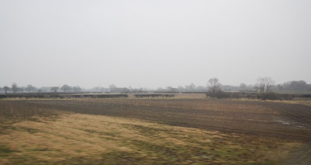
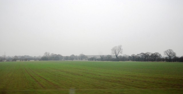
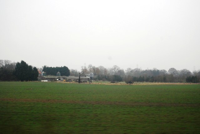
Woodland Field is a picturesque area located in the heart of Yorkshire, England. Situated amidst the stunning Yorkshire Downs and Moorland, this region offers breathtaking natural beauty and diverse landscapes.
The area is characterized by its dense woodlands, which lend a sense of tranquility and serenity to the surroundings. The woodlands are home to a variety of native trees, including oak, beech, and birch, which create a vibrant tapestry of colors throughout the year. The lush vegetation provides a habitat for numerous species of birds, small mammals, and insects, making Woodland Field a popular destination for nature enthusiasts and birdwatchers.
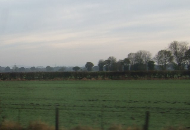
In addition to its woodlands, Woodland Field is bordered by the vast Yorkshire Downs and Moorland. These rolling hills and expansive moors offer panoramic views of the surrounding countryside, with their wide open spaces and rugged terrain. Hikers and walkers are drawn to this area to explore its numerous trails and footpaths, taking them through heather-clad moorlands, verdant valleys, and ancient woodlands.
Woodland Field is also known for its rich history, with evidence of human habitation dating back thousands of years. The area is scattered with historic sites, such as ancient burial mounds and stone circles, providing a glimpse into the region's past.
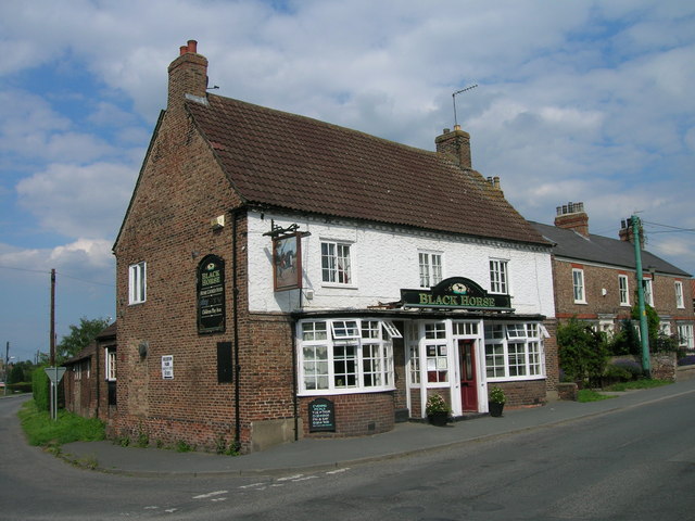
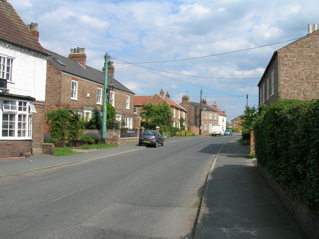
Visitors to Woodland Field can enjoy a range of outdoor activities, including hiking, cycling, birdwatching, and photography. The area is also home to several charming villages and country pubs, offering a warm welcome and a taste of traditional Yorkshire hospitality.
Overall, Woodland Field is a captivating destination for nature lovers and history enthusiasts alike, with its breathtaking landscapes, diverse wildlife, and rich cultural heritage.
If you have any feedback on the listing, please let us know in the comments section below.
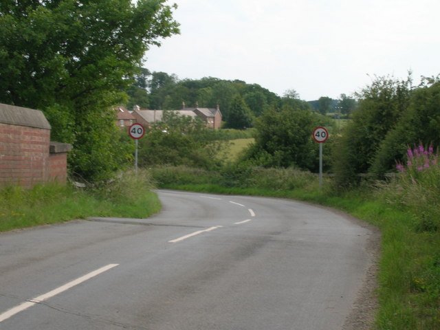
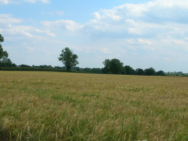
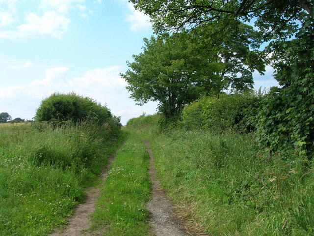
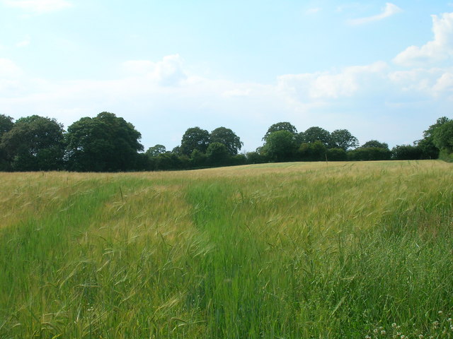
Woodland Field Images
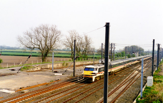
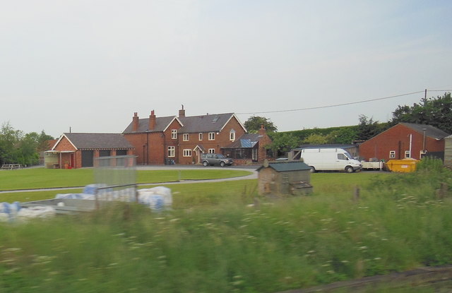
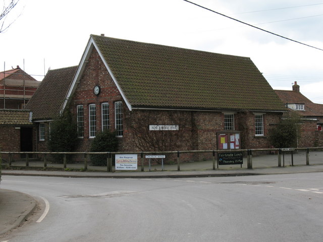
Images are sourced within 2km of 54.08571/-1.2327687 or Grid Reference SE5065. Thanks to Geograph Open Source API. All images are credited.


Woodland Field is located at Grid Ref: SE5065 (Lat: 54.08571, Lng: -1.2327687)
Division: North Riding
Administrative County: North Yorkshire
District: Hambleton
Police Authority: North Yorkshire
What 3 Words
///condition.grit.shady. Near Easingwold, North Yorkshire
Nearby Locations
Related Wikis
Alne, North Yorkshire
Alne is a village and civil parish in the Hambleton District of North Yorkshire, England, about twelve miles north-west of York and four miles from Easingwold...

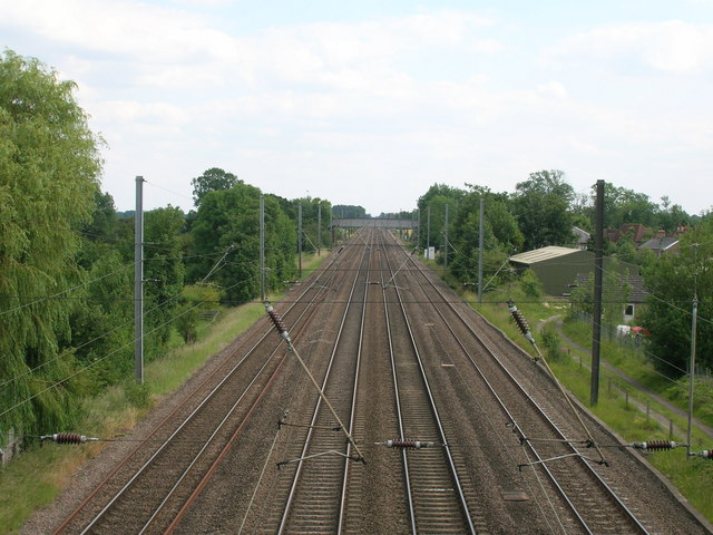
Alne railway station
Alne railway station was a station which served the village of Alne in the English county of North Yorkshire. It was served by trains on the main line...

Dishforth
Dishforth is a village and civil parish in the Harrogate district of North Yorkshire, England. Dishforth translates from Old English as dic-ford; a ford...

Tollerton railway station
Tollerton railway station served the village of Tollerton, Yorkshire, England from 1841 to 1965 on the East Coast Main Line. == History == The station...
Nearby Amenities
Located within 500m of 54.08571,-1.2327687Have you been to Woodland Field?
Leave your review of Woodland Field below (or comments, questions and feedback).