Spital Moor
Downs, Moorland in Yorkshire Selby
England
Spital Moor
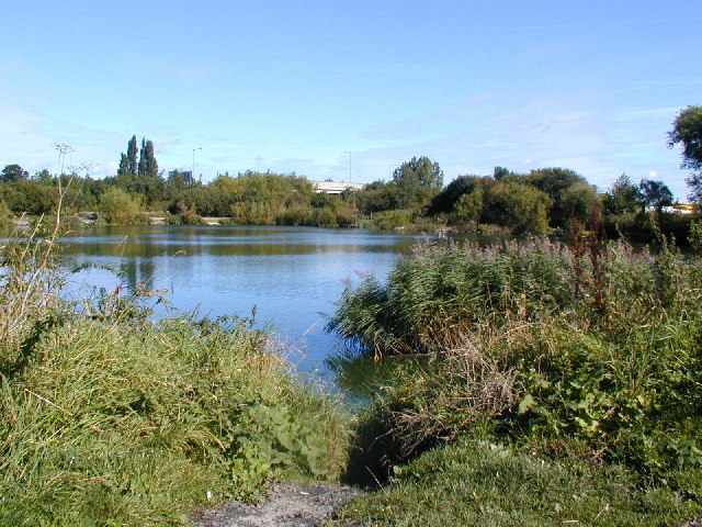
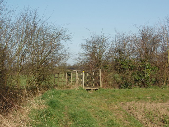
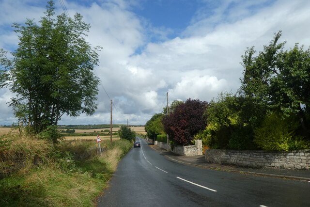
Spital Moor is a scenic and expansive area located in Yorkshire, England. Situated amidst the picturesque Yorkshire Downs, this moorland is renowned for its natural beauty and diverse wildlife. Spanning over a large expanse, Spital Moor encompasses an area of rolling hills, heather-covered moorland, and ancient woodlands.
The moorland is characterized by its unique topography, with steep slopes and deep valleys carved out by centuries of erosion. This creates a stunning landscape that offers breathtaking views and ample opportunities for outdoor activities such as hiking, walking, and birdwatching.
The heather-covered moorland is a defining feature of Spital Moor, adding vibrant shades of purple and pink to the landscape during the summer months. This creates a picturesque sight that attracts nature enthusiasts and photographers from far and wide.
The moorland is also home to an array of wildlife species, making it a haven for nature lovers. Visitors may encounter grazing sheep, wild ponies, and a variety of bird species, including curlews, lapwings, and red grouse. The ancient woodlands that dot the area are filled with native trees, providing shelter for various species of mammals and birds.
Spital Moor is easily accessible, with several well-marked walking trails and footpaths that allow visitors to explore its natural wonders. The moorland offers a serene and peaceful escape from the hustle and bustle of city life, providing a chance to connect with nature and appreciate the beauty of the Yorkshire countryside.
If you have any feedback on the listing, please let us know in the comments section below.
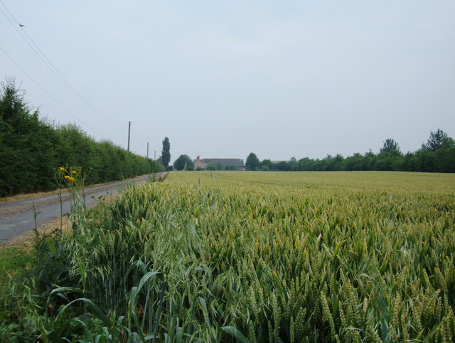
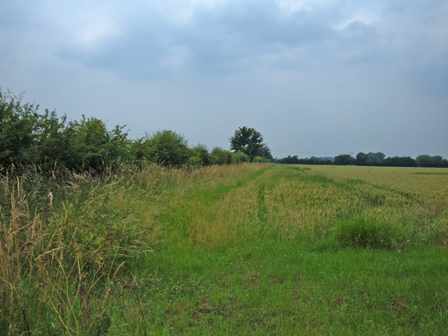
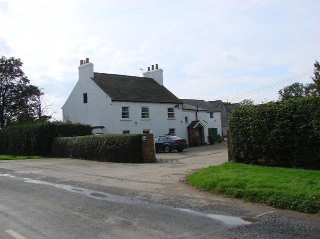
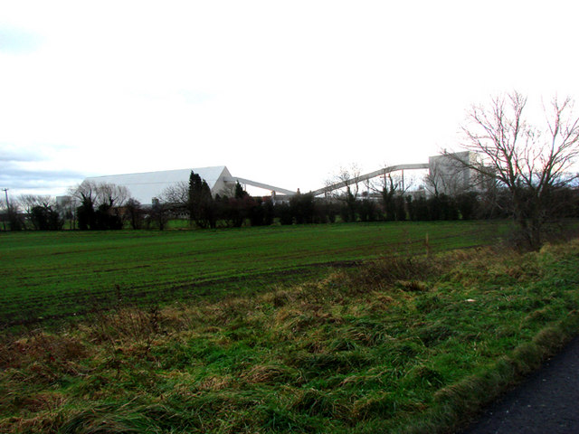
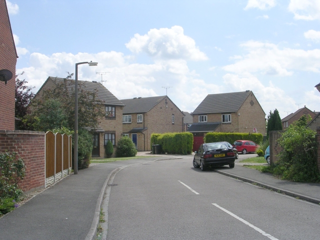
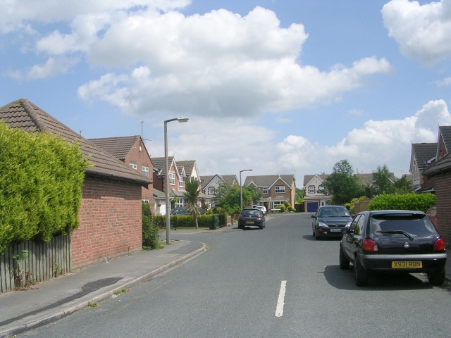
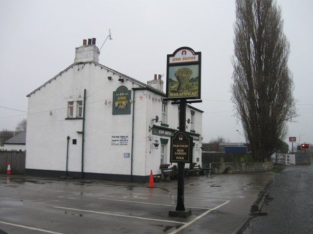
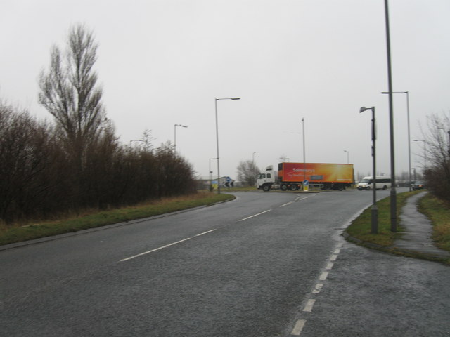
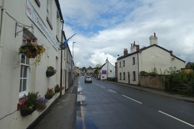
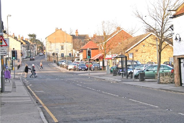
Spital Moor Images
Images are sourced within 2km of 53.804246/-1.2446873 or Grid Reference SE4934. Thanks to Geograph Open Source API. All images are credited.
Spital Moor is located at Grid Ref: SE4934 (Lat: 53.804246, Lng: -1.2446873)
Division: West Riding
Administrative County: North Yorkshire
District: Selby
Police Authority: North Yorkshire
What 3 Words
///riverbank.raced.twisting. Near Sherburn in Elmet, North Yorkshire
Nearby Locations
Related Wikis
Sherburn in Elmet
Sherburn in Elmet (pronounced SHUR-bər-nin-EL-mit) is a town and civil parish in the district and county of North Yorkshire, England. It is to the west...

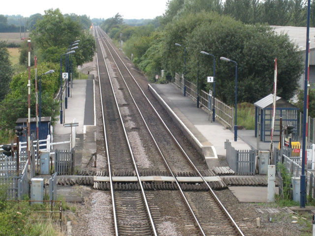
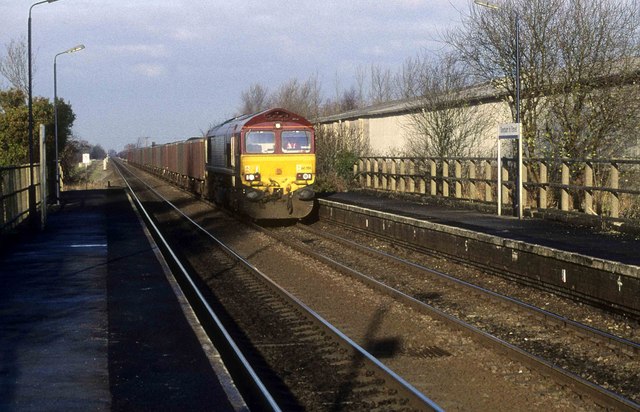
Sherburn-in-Elmet railway station
Sherburn-in-Elmet railway station serves the town of Sherburn in Elmet in North Yorkshire, England. The station is located approximately 1 mile (1.6 km...

All Saints' Church, Sherburn in Elmet
All Saints' Church is the parish church of Sherburn in Elmet, a town in North Yorkshire in England. The church was constructed in the 12th century, from...

Battle of Sherburn in Elmet
The Battle of Sherburn in Elmet was an action fought towards the end of the First English Civil War. A detachment of the English Royalist army led by...
Nearby Amenities
Located within 500m of 53.804246,-1.2446873Have you been to Spital Moor?
Leave your review of Spital Moor below (or comments, questions and feedback).