Barkston Moor
Downs, Moorland in Yorkshire Selby
England
Barkston Moor

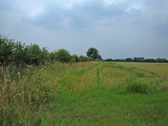
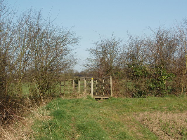
Barkston Moor is a picturesque expanse of land located in the county of Yorkshire, England. Situated in the heart of the Yorkshire Downs, this vast moorland covers an area of approximately 1,500 acres. It is renowned for its natural beauty, rugged terrain, and diverse wildlife.
The moorland is characterized by its rolling hills, heather-covered landscapes, and expansive vistas. The terrain consists of a mixture of grasslands, peat bogs, and rocky outcrops, creating a unique and varied ecosystem. The area is also intersected by several streams and small rivers, which add to its scenic charm.
Barkston Moor is home to a rich variety of flora and fauna. The heather-covered hills provide a habitat for numerous bird species, including grouse, lapwings, and curlews. The moorland also supports a population of hares, foxes, and deer, which can often be spotted roaming the open expanses.
For outdoor enthusiasts, Barkston Moor offers a range of recreational activities. Walking and hiking trails crisscross the moor, allowing visitors to explore its natural wonders at their own pace. The diverse terrain also makes it a popular destination for mountain biking and horse riding.
In addition to its natural beauty, Barkston Moor holds historical significance. The area is scattered with ancient burial mounds and standing stones, providing a glimpse into its rich past. Archaeological excavations have revealed remnants of human activity dating back thousands of years, further adding to the moor's allure.
Overall, Barkston Moor is a captivating destination, offering visitors a unique blend of natural beauty, wildlife, and historical intrigue. It is a must-visit for nature enthusiasts and those seeking a tranquil escape in the heart of Yorkshire.
If you have any feedback on the listing, please let us know in the comments section below.
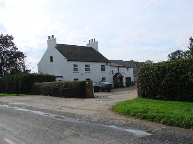
Barkston Moor Images
Images are sourced within 2km of 53.817695/-1.2478631 or Grid Reference SE4935. Thanks to Geograph Open Source API. All images are credited.


Barkston Moor is located at Grid Ref: SE4935 (Lat: 53.817695, Lng: -1.2478631)
Division: West Riding
Administrative County: North Yorkshire
District: Selby
Police Authority: North Yorkshire
What 3 Words
///happily.identify.subsystem. Near Church Fenton, North Yorkshire
Nearby Locations
Related Wikis

Barkston Ash Wapentake
Barkston Ash was a wapentake of the West Riding of Yorkshire, named after the meeting-place at the village of Barkston. It included the parishes of Birkin...

Barkston Ash
Barkston Ash is a small village and civil parish close to Selby in North Yorkshire, England. It was formerly known as Barkston in the West Riding of Yorkshire...
Church of the Immaculate Conception, Scarthingwell
The Church of the Immaculate Conception is a historic church in Scarthingwell, in North Yorkshire, in England. The church was constructed in 1854 to a...
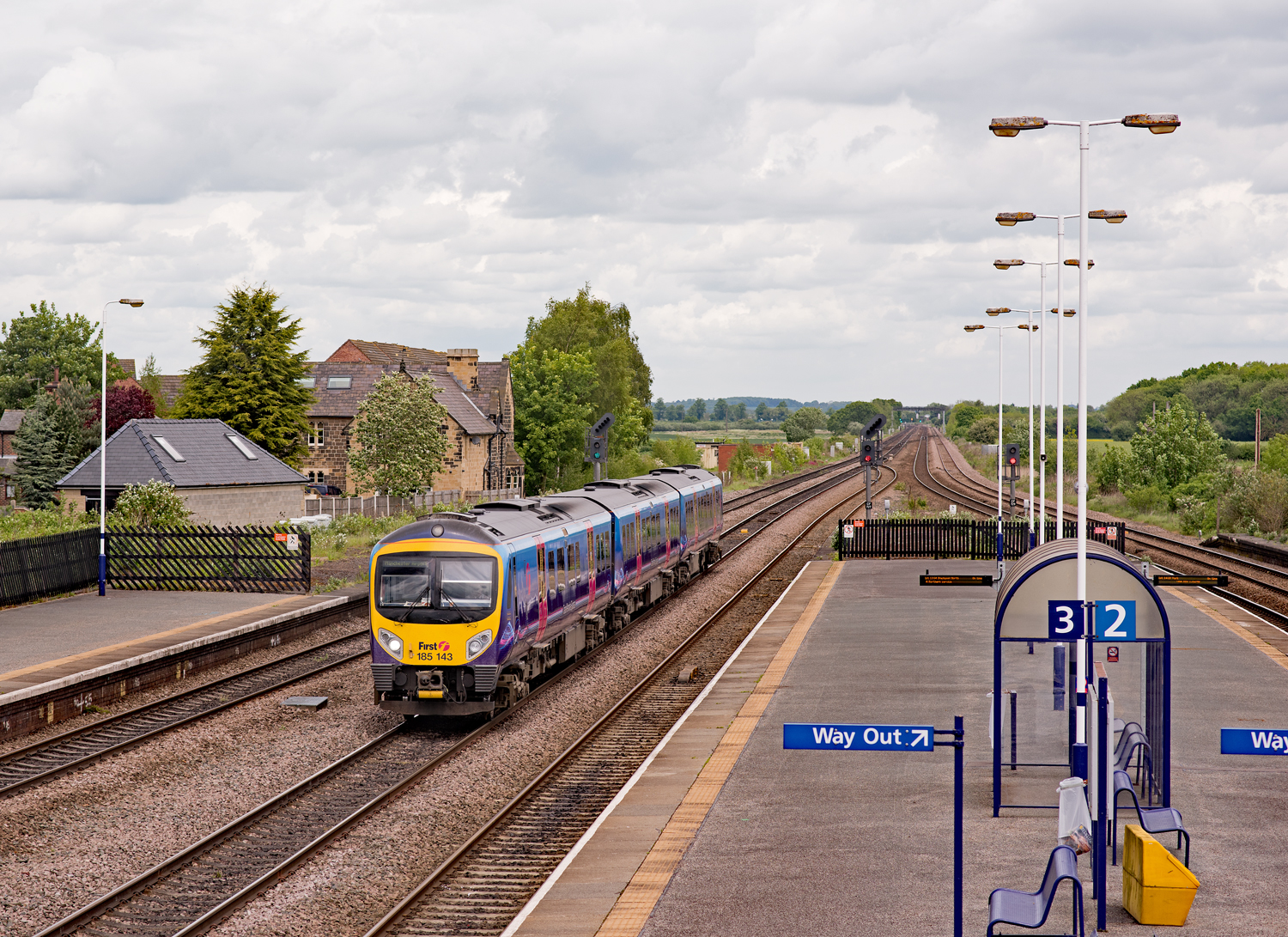
Church Fenton railway station
Church Fenton railway station serves the village of Church Fenton in North Yorkshire, England. It is situated where the Cross Country Route from Leeds...
Nearby Amenities
Located within 500m of 53.817695,-1.2478631Have you been to Barkston Moor?
Leave your review of Barkston Moor below (or comments, questions and feedback).