Nuthanger Down
Downs, Moorland in Hampshire Basingstoke and Deane
England
Nuthanger Down
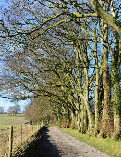
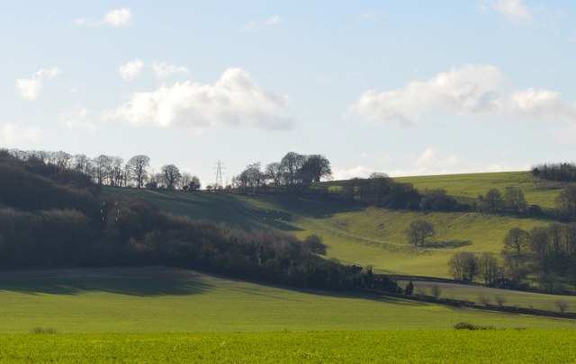
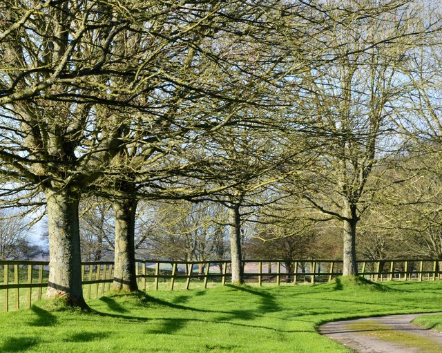
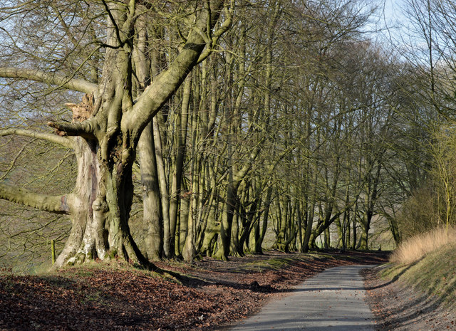
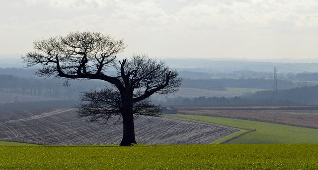
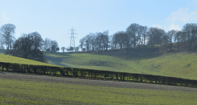
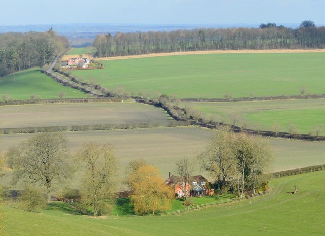
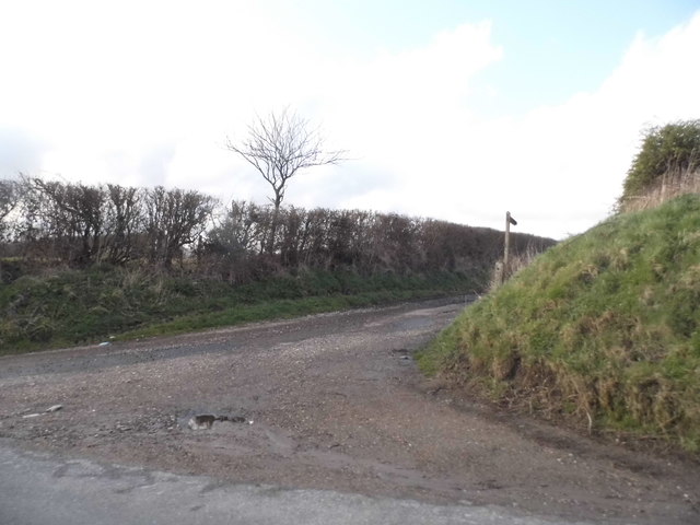
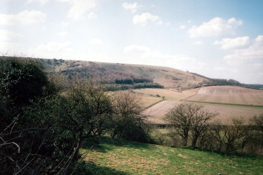
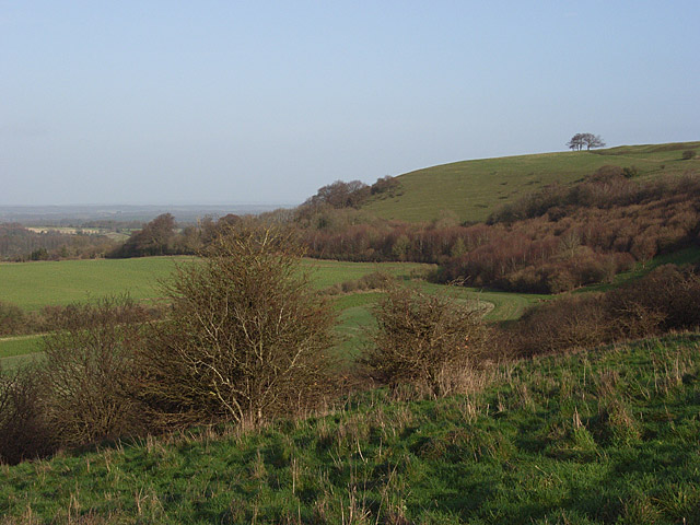
Nuthanger Down is a picturesque area located in Hampshire, England. It is characterized by its stunning natural beauty, consisting of downs and moorland landscapes. Covering an area of approximately 500 acres, Nuthanger Down is a haven for nature enthusiasts and offers a wide range of outdoor activities.
The downland, with its rolling hills and sweeping views, is scattered with an array of flora and fauna, making it a popular destination for hikers and walkers. The area is home to various species of wildflowers, including harebells and orchids, adding vibrant colors to the landscape during the summer months.
Nuthanger Down is also known for its diverse wildlife. Visitors may spot rabbits, hares, and foxes roaming freely in the open fields, while birdwatchers can enjoy observing rare species such as skylarks and stonechats. The area is also home to a number of butterflies, with the chalk grassland providing the perfect environment for species such as the Adonis blue and the chalkhill blue.
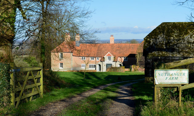
In addition to its natural beauty, Nuthanger Down has historical significance. The area was once used for farming and grazing livestock, and remnants of old field boundaries and tracks can still be seen today. These historical features add charm and character to the landscape, providing visitors with a glimpse into the area's past.
Overall, Nuthanger Down is a tranquil and idyllic destination for those seeking a peaceful retreat in the heart of Hampshire. Whether it's enjoying a leisurely walk, admiring the diverse flora and fauna, or simply soaking in the breathtaking views, Nuthanger Down offers a truly immersive experience in nature.
If you have any feedback on the listing, please let us know in the comments section below.
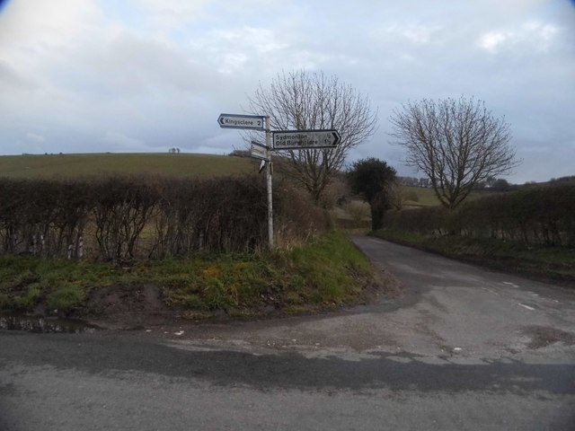
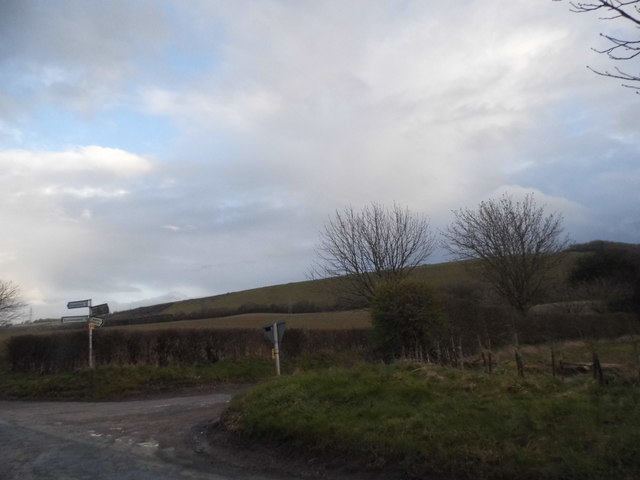
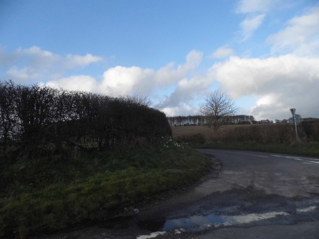
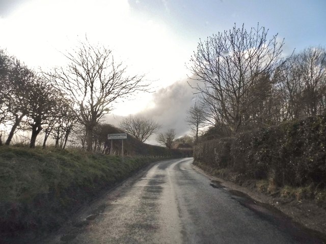
Nuthanger Down Images
Images are sourced within 2km of 51.306257/-1.2928756 or Grid Reference SU4956. Thanks to Geograph Open Source API. All images are credited.


Nuthanger Down is located at Grid Ref: SU4956 (Lat: 51.306257, Lng: -1.2928756)
Administrative County: Hampshire
District: Basingstoke and Deane
Police Authority: Hampshire
What 3 Words
///slippers.circle.states. Near Kingsclere, Hampshire
Nearby Locations
Related Wikis
Watership Down, Hampshire
Watership Down is a hill or a down at Ecchinswell in the civil parish of Ecchinswell, Sydmonton and Bishops Green in the English county of Hampshire, as...

Ashley Warren
Ashley Warren is a hamlet in the Basingstoke and Deane district of Hampshire, England. The settlement is within the civil parish of Ecchinswell, Sydmonton...

Sydmonton
Sydmonton is a small village, estate and former civil parish, now in the parish of Ecchinswell, Sydmonton and Bishops Green, in the Basingstoke and Deane...

Hare Warren
Hare Warren is a hamlet in the Basingstoke and Deane district of Hampshire, England. At the 2011 Census the population of the hamlet was included in the...
Ladle Hill
Ladle Hill is a 10.5-hectare (26-acre) biological Site of Special Scientific Interest west of Kingsclere in Hampshire. It is also a Scheduled Monument...

Sydmonton Court
Sydmonton Court is an English country house in Hampshire. Built and developed over the centuries, it is surrounded by a 5,000 acre estate, in the parish...
Burghclere
Burghclere is a village and civil parish in Hampshire, England. According to the 2011 census the village had a population of 1,152. The village is near...
Old Burghclere Lime Quarry
Old Burghclere Lime Quarry SSSI is a 4.61 ha (11.4 acres) biological Site of Special Scientific Interest at Burghclere in Hampshire, notified in 1979....
Nearby Amenities
Located within 500m of 51.306257,-1.2928756Have you been to Nuthanger Down?
Leave your review of Nuthanger Down below (or comments, questions and feedback).