Sheep Down
Downs, Moorland in Berkshire
England
Sheep Down
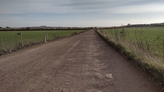
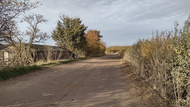
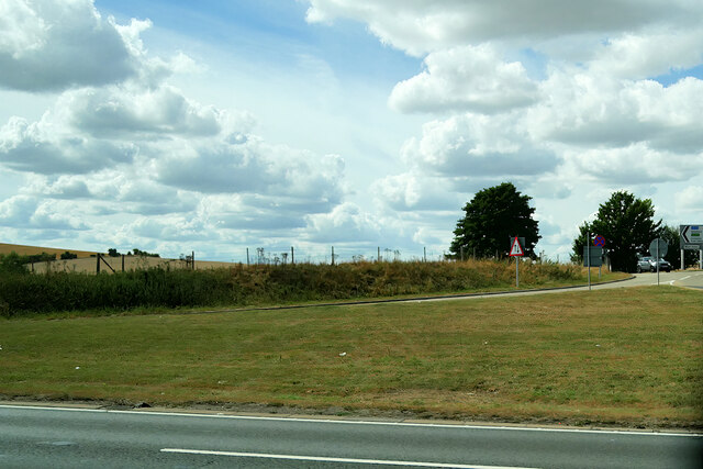
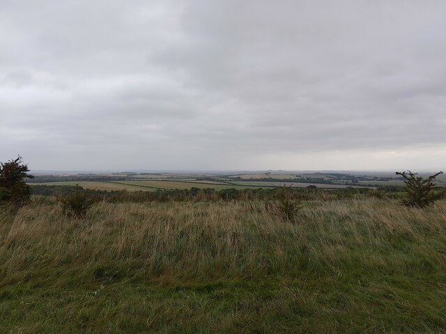
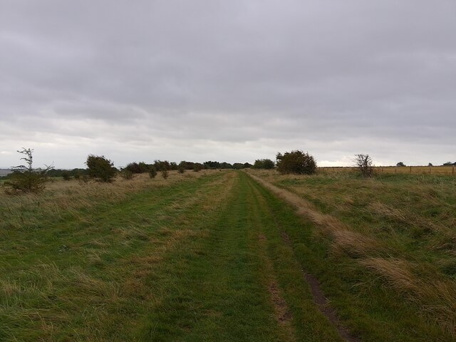
Sheep Down is a picturesque area located in Berkshire, England. It is part of the larger Berkshire Downs, which is a range of chalk hills spreading across the county. Sheep Down, specifically, is known for its rolling hills, open fields, and stunning views of the surrounding countryside.
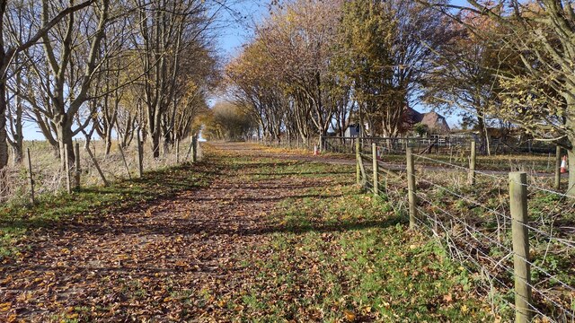
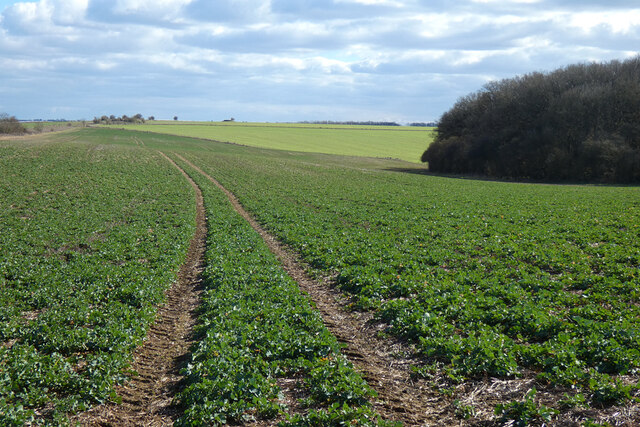
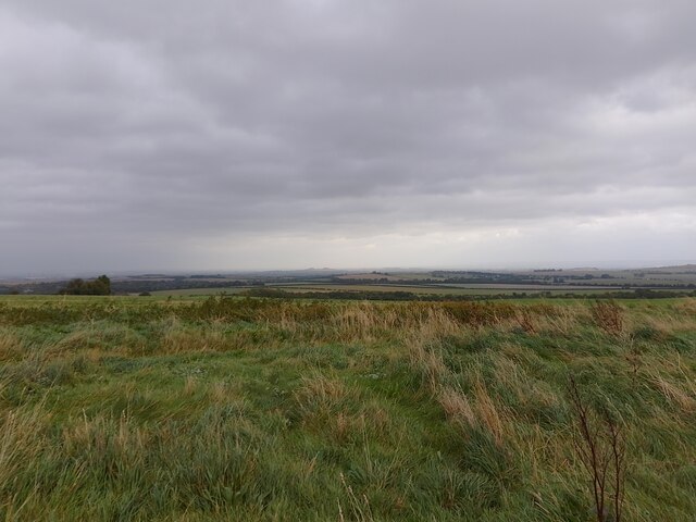
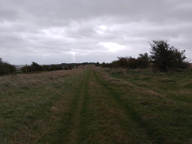
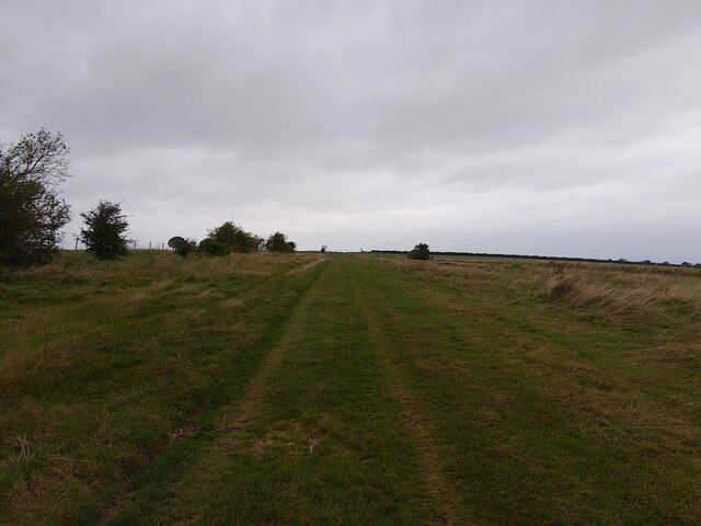
The landscape of Sheep Down is mainly characterized by vast expanses of moorland, covered in heather and grasses that provide grazing grounds for sheep. The area is dotted with small patches of woodland, adding to its natural beauty. The downs are also home to a variety of wildlife, including birds such as skylarks and kestrels, as well as mammals like rabbits and foxes.
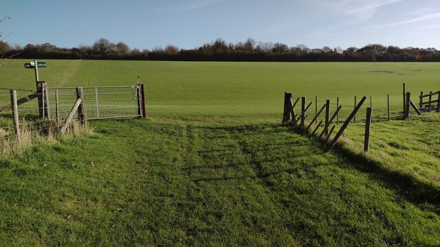
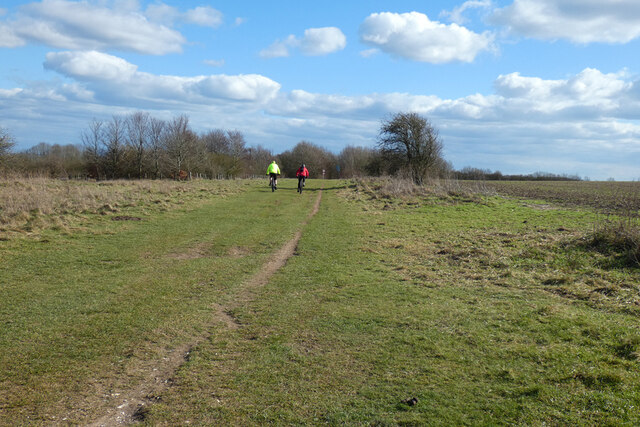
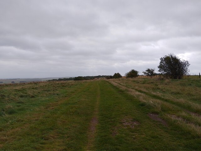
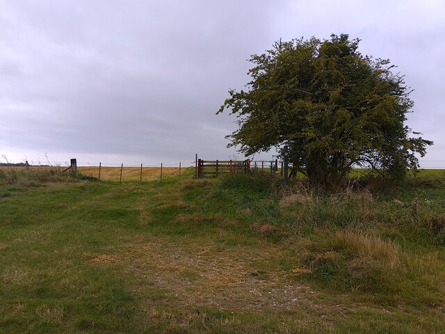
The area is popular among outdoor enthusiasts, offering ample opportunities for walking, hiking, and cycling. There are numerous footpaths and bridleways crisscrossing the downs, allowing visitors to explore the area at their own pace. Some of these routes offer breathtaking views of the countryside, particularly from the higher points of the downs.
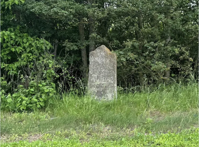
Sheep Down is also significant for its historical and cultural heritage. The downs have been shaped by human activity for centuries, with evidence of ancient settlements and burial mounds scattered throughout the area. The downs have also served as common grazing land for sheep farming, hence the name Sheep Down.
Overall, Sheep Down in Berkshire is a charming and captivating destination for nature lovers and history enthusiasts alike. Its idyllic landscapes, rich wildlife, and cultural significance make it a must-visit location in the region.
If you have any feedback on the listing, please let us know in the comments section below.
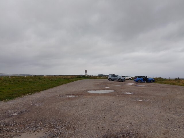
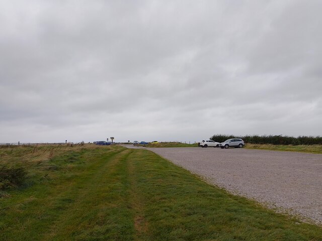
Sheep Down Images
Images are sourced within 2km of 51.541393/-1.2901038 or Grid Reference SU4982. Thanks to Geograph Open Source API. All images are credited.

Sheep Down is located at Grid Ref: SU4982 (Lat: 51.541393, Lng: -1.2901038)
Unitary Authority: West Berkshire
Police Authority: Thames Valley
What 3 Words
///surpasses.restore.fingernails. Near West Ilsley, Berkshire
Nearby Locations
Related Wikis
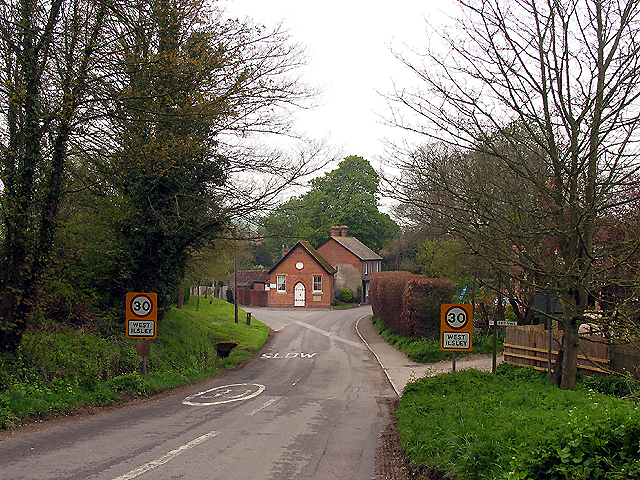
West Ilsley
West Ilsley is a village and civil parish in Berkshire, England. The population of the village at the 2011 Census was 332. == Location and amenities... ==
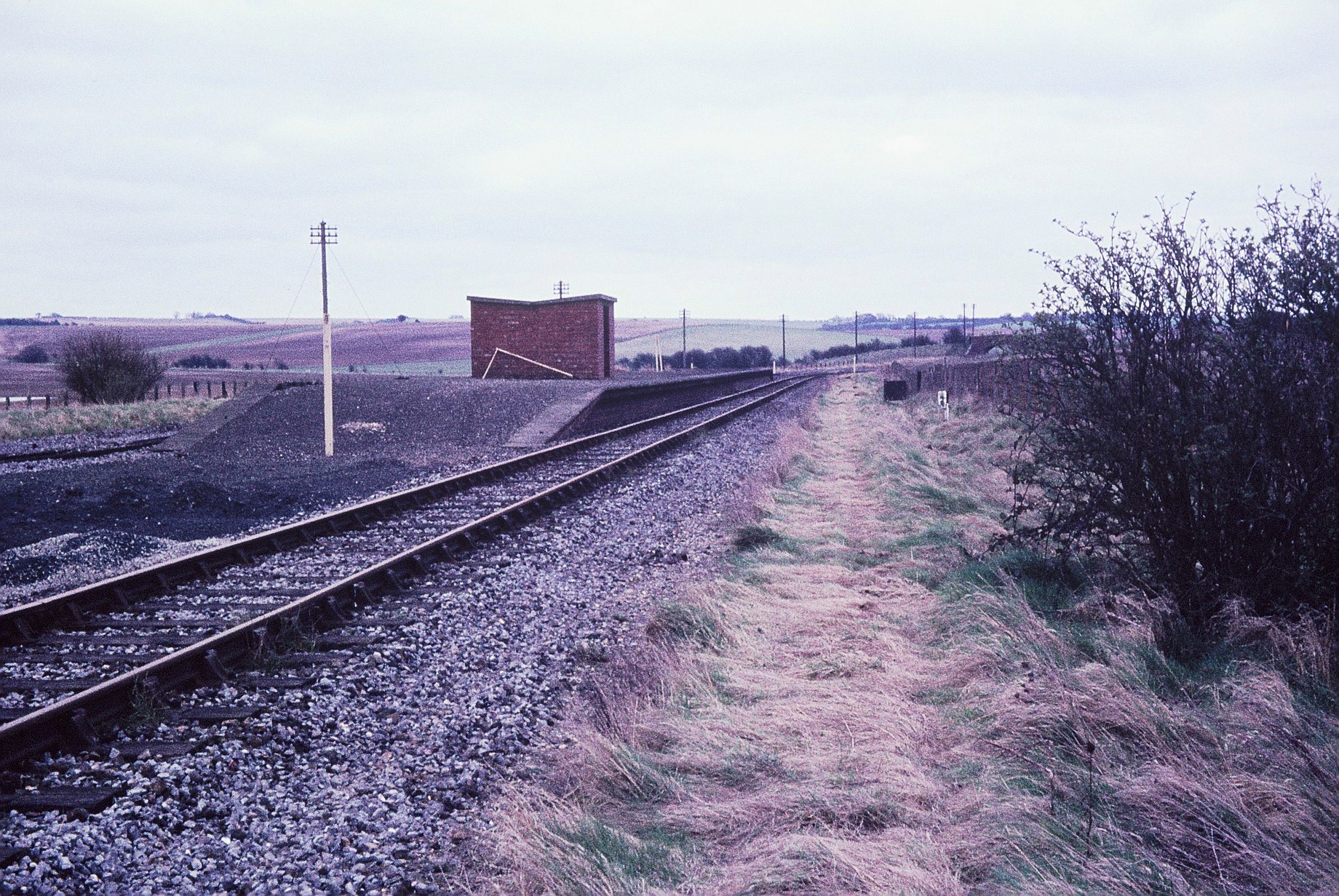
Churn railway station
Churn railway station was a station on the Didcot, Newbury and Southampton Railway in England. It served Churn Down, a remote part of the Berkshire Downs...

Chilton, Oxfordshire
Chilton is a village and civil parish in the Vale of White Horse about 3+1⁄2 miles (6 km) southwest of Didcot. The parish was part of Berkshire until the...

East Ilsley
East Ilsley is a village and civil parish in the Berkshire Downs in West Berkshire, north of Newbury. The village is centred immediately east of the A34...
Nearby Amenities
Located within 500m of 51.541393,-1.2901038Have you been to Sheep Down?
Leave your review of Sheep Down below (or comments, questions and feedback).