Bell Land
Downs, Moorland in Oxfordshire Cherwell
England
Bell Land
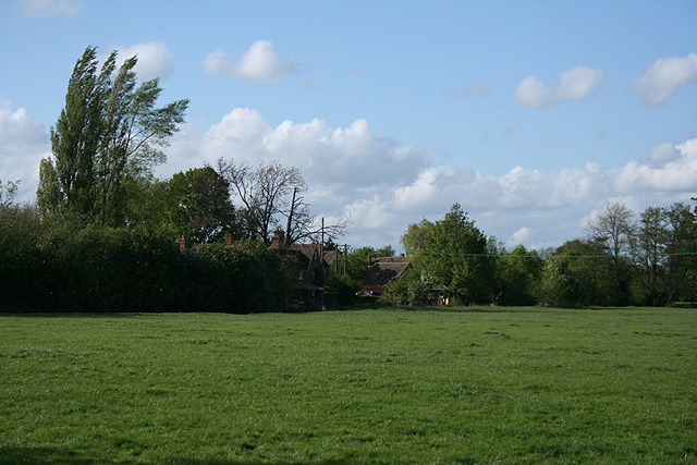
Bell Land is a picturesque area located in Oxfordshire, England, known for its stunning natural beauty and diverse landscapes. Situated amidst the famous Oxfordshire Downs, Bell Land boasts a combination of rolling hills, sprawling moorlands, and charming countryside. The region is a haven for nature lovers and outdoor enthusiasts, offering a variety of recreational activities and breathtaking scenery.
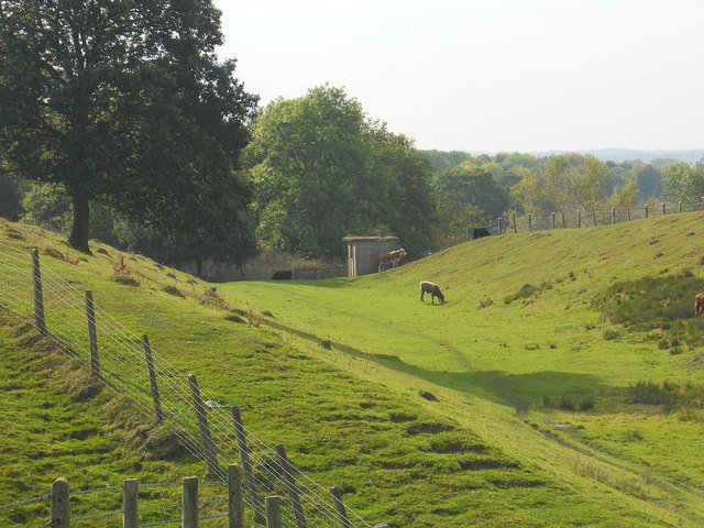
The Oxfordshire Downs in Bell Land provide a striking backdrop with their undulating hills and lush greenery. These hills are ideal for hiking and walking, with numerous trails that offer panoramic views of the surrounding countryside. The area is also home to a rich array of wildlife, including deer, rabbits, and various bird species, making it a popular destination for birdwatching and wildlife spotting.
Bell Land's moorlands are another notable feature, characterized by vast open spaces and heather-covered plains. These moorlands provide a unique and tranquil environment, perfect for those seeking solitude and a sense of serenity. They are also home to rare plant species, such as the bell heather, which gives the area its name.
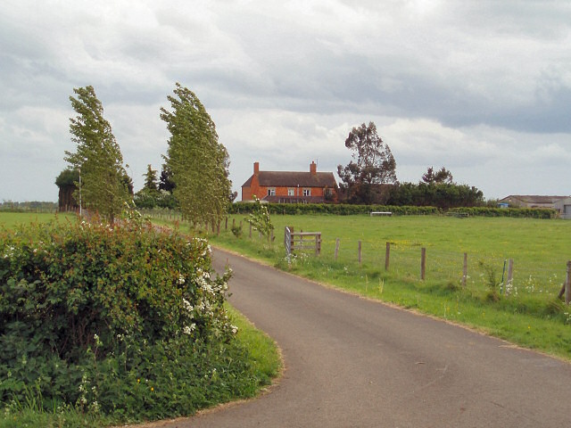
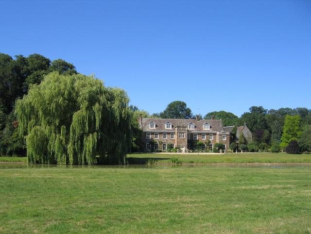
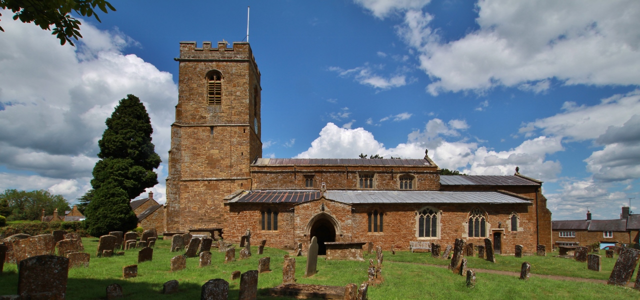
In addition to its natural beauty, Bell Land is dotted with charming villages and historic sites. The local communities offer a warm welcome to visitors, with traditional pubs and quaint tea rooms where one can sample local delicacies. Historic landmarks, such as ancient churches and manor houses, add to the area's cultural heritage and provide insight into its rich history.
Overall, Bell Land, Oxfordshire, is a stunning rural area that offers a blend of breathtaking landscapes, abundant wildlife, and a glimpse into England's past. Whether exploring the downs, wandering the moorlands, or immersing oneself in the local culture, visitors are sure to be captivated by the beauty and tranquility of this remarkable location.
If you have any feedback on the listing, please let us know in the comments section below.
Bell Land Images
Images are sourced within 2km of 52.099423/-1.2908589 or Grid Reference SP4844. Thanks to Geograph Open Source API. All images are credited.


Bell Land is located at Grid Ref: SP4844 (Lat: 52.099423, Lng: -1.2908589)
Administrative County: Oxfordshire
District: Cherwell
Police Authority: Thames Valley
What 3 Words
///oils.quits.gobbles. Near Banbury, Oxfordshire
Nearby Locations
Related Wikis

Chalcombe Road Halt railway station
Chalcombe Road Halt was a railway station on the link line between the Great Central Railway and the Great Western Railway's Birmingham - London line,...
Chacombe Priory
Chacombe Priory (or Chalcombe Priory) was a priory of Augustinian canons at Chacombe, Northamptonshire, England.Hugh of Chalcombe, lord of the manor of...

Wardington Manor
Wardington Manor lies between Lower and Upper Wardington in Oxfordshire. The house dates from the middle of the 16th century or possibly earlier. The house...

Chacombe
Chacombe (sometimes Chalcombe in the past) is a village and civil parish in West Northamptonshire, England, about 3 miles (5 km) north-east of Banbury...
Wardington
Wardington is a village and civil parish in Oxfordshire, about 4 miles (6.4 km) northeast of Banbury. The village consists of two parts: Wardington and...

Fairport's Cropredy Convention
Fairport's Cropredy Convention (formerly Cropredy Festival) is an annual festival of folk and rock music, headed by British folk-rock band Fairport Convention...
Battle of Cropredy Bridge
The Battle of Cropredy Bridge was fought on Saturday 29 June 1644 (9 July 1644 Gregorian) near Banbury, Oxfordshire during the First English Civil War...
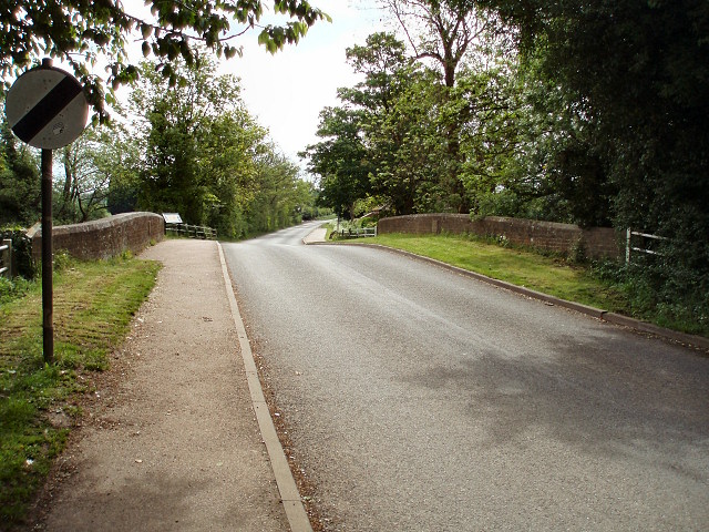
Cropredy Bridge
Cropredy Bridge is a bridge in north Oxfordshire, England, that carries the minor road between Cropredy and the hamlet of Williamscot. It spans the River...
Nearby Amenities
Located within 500m of 52.099423,-1.2908589Have you been to Bell Land?
Leave your review of Bell Land below (or comments, questions and feedback).