Adwick Common

Downs, Moorland in Yorkshire

England

Adwick Common

Adwick Bridge
Adwick Bridge Credit: Dave Pickersgill

Adwick Common is a picturesque village located in the county of Yorkshire, England. Situated amidst the stunning Yorkshire Downs and Moorland, the village is known for its natural beauty and tranquil surroundings. With a population of around 2,000 residents, Adwick Common offers a peaceful and close-knit community atmosphere.

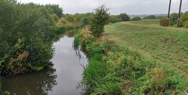
The village is characterized by its rolling hills, lush green fields, and expansive moorland. The Yorkshire Downs provide a stunning backdrop, offering breathtaking vistas of the surrounding countryside. The area is a haven for outdoor enthusiasts, with numerous walking trails and cycling routes to explore.

Adwick Common boasts a rich history, with evidence of human settlement dating back to the Neolithic period. The village is home to several historical landmarks, including a Norman church that dates back to the 12th century. The village also has a strong agricultural heritage, with farming playing a significant role in the local economy.

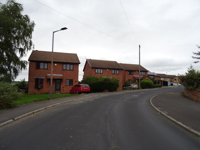
Despite its rural setting, Adwick Common offers convenient access to amenities and services. The village has a primary school, a small selection of shops, and a friendly local pub. The nearby town of Doncaster is easily accessible, providing residents with a wider range of amenities including supermarkets, retail outlets, and leisure facilities.

Overall, Adwick Common is a charming village that offers residents and visitors a peaceful retreat amidst the stunning Yorkshire Downs and Moorland. With its natural beauty, rich history, and close-knit community, it is a truly idyllic place to call home.

If you have any feedback on the listing, please let us know in the comments section below.

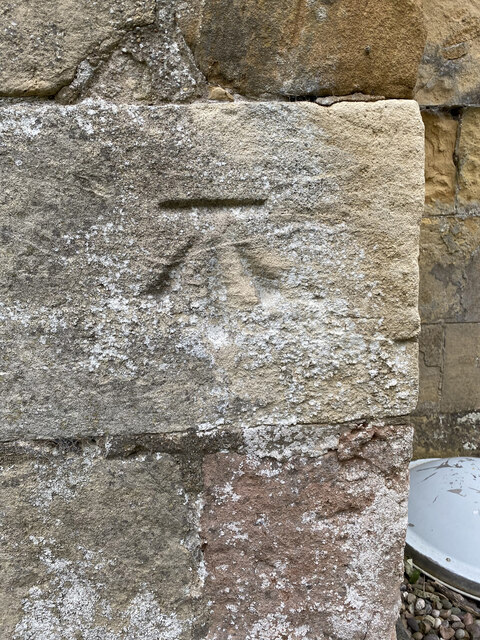
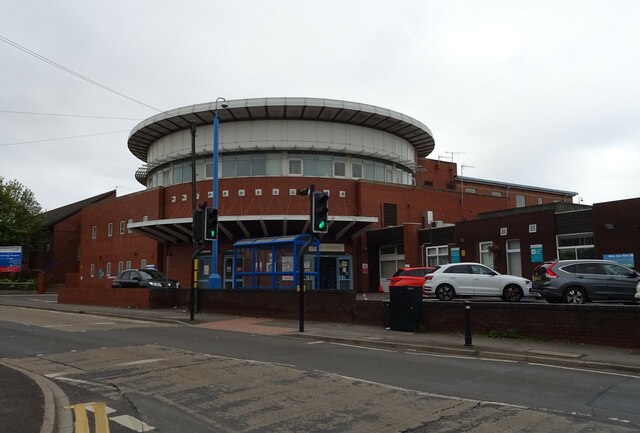
Adwick Common Images

Images are sourced within 2km of 53.512566/-1.2874763 or Grid Reference SE4702. Thanks to Geograph Open Source API. All images are credited.

Adwick Bridge
Adwick Bridge
St Peter's Church, Barnburgh
OS Cut Mark - Barnburgh, St Peter's Church <span class="nowrap"><a title="https://www.bench-marks.org.uk/bm95381" rel="nofollow ugc noopener" href="https://www.bench-marks.org.uk/bm95381">Link</a><img style="margin-left:2px;" alt="External link" title="External link - shift click to open in new window" src="https://s1.geograph.org.uk/img/external.png" width="10" height="10"/></span>
OS Cut Mark - Barnburgh, St Peter's Church
Location of OS Cut Mark - Barnburgh, St Peter's Church <span class="nowrap"><a title="https://www.bench-marks.org.uk/bm95381" rel="nofollow ugc noopener" href="https://www.bench-marks.org.uk/bm95381">Link</a><img style="margin-left:2px;" alt="External link" title="External link - shift click to open in new window" src="https://s1.geograph.org.uk/img/external.png" width="10" height="10"/></span>
Location of OS Cut Mark - Barnburgh, St Peter's Church
RSPB watch point at Adwick Washes
Adwick Washes
Adwick Washes
Trans-Pennine Path and Dearne Way at Adwick
River Dearne at Adwick Bridge
Lapwings (Vanellus vanellus), Adwick Washlands
The Star Inn
The Star Inn
Sign for the Star Inn
Footpath to Harlington
Footpath from Mexborough to Harlington
Houses on Harlington Road
Harlington Road
Harlington Road
Bungalows on Sedgefield Way
Montague Hospital
Montague Hospital
Adwick Road Convenience Store
Show me another place!

Adwick Common is located at Grid Ref: SE4702 (Lat: 53.512566, Lng: -1.2874763)

Division: West Riding

Unitary Authority: Doncaster

Police Authority: South Yorkshire

What 3 Words

///roofed.schematic.mattress. Near Barnburgh, South Yorkshire

Nearby Locations

Adwick Common

Related Wikis

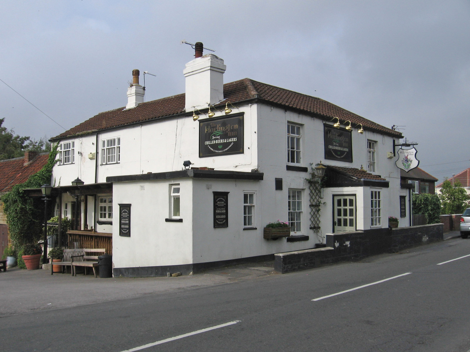
Harlington, South Yorkshire

Harlington is a village in the civil parish of Barnburgh in the City of Doncaster in South Yorkshire, England. The village lies less than a mile from the...

Harlington Halt railway station

Harlington Halt was a small railway station on the Dearne Valley Railway (DVR) located close by Harlington village, near Mexborough, South Yorkshire, England...

Laurel Academy

The Laurel Academy (formerly Mexborough Academy) is a coeducational secondary school located in Mexborough, South Yorkshire, England. == History == The...
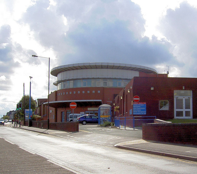
Montagu Hospital

Montagu Hospital is in Mexborough, a district of Doncaster, in South Yorkshire, England. It is managed by the Doncaster and Bassetlaw Teaching Hospitals...

Nearby Amenities

Located within 500m of 53.512566,-1.2874763
Adwick Upon Dearne
Place: village
Source: npe
Wikidata: Q1922266
Wikipedia: en:Adwick upon Dearne
Lat/Long: 53.5097559/-1.2928501
Power: tower
Source: Bing
Lat/Long: 53.5157308/-1.2823102
Power: tower
Source: Bing
Lat/Long: 53.5159454/-1.2922773
Power: tower
Source: Bing
Lat/Long: 53.5161751/-1.2872884
Access: yes
Barrier: swing_gate
Lat/Long: 53.5150345/-1.2859495
Barrier: swing_gate
Foot: yes
Lat/Long: 53.5145035/-1.2866973
Power: pole
Lat/Long: 53.5097279/-1.282346
Power: pole
Lat/Long: 53.5108724/-1.2839272
Power: pole
Lat/Long: 53.5118602/-1.2852342
Power: pole
Lat/Long: 53.5129423/-1.2858963
Power: pole
Lat/Long: 53.514183/-1.2866264
Power: pole
Lat/Long: 53.5150488/-1.2870393
Power: pole
Lat/Long: 53.5158255/-1.287483
Adwick Gauging Station
Waterway: weir
Lat/Long: 53.5127418/-1.2823489
Barrier: motorcycle
Lat/Long: 53.5120096/-1.2925475
Barrier: swing_gate
Lat/Long: 53.5147458/-1.2862848
Barrier: swing_gate
Foot: yes
Lat/Long: 53.5148083/-1.2865962
Barrier: swing_gate
Lat/Long: 53.5151531/-1.2852311
Generator Method: photovoltaic
Generator Output Electricity: yes
Generator Source: solar
Generator Type: solar_photovoltaic_panel
Location: roof
Power: generator
Lat/Long: 53.51061/-1.2938108
Bench
Backrest: no
Lat/Long: 53.5130306/-1.2903827
Bench
Backrest: no
Lat/Long: 53.5151747/-1.29182
Bench
Backrest: no
Lat/Long: 53.5148795/-1.2863447
Barrier: block
Lat/Long: 53.5144088/-1.286405
Bench
Backrest: no
Lat/Long: 53.515368/-1.2851958
The data included in this document is from www.openstreetmap.org. The data is made available under ODbL.

Have you been to Adwick Common?

Leave your review of Adwick Common below (or comments, questions and feedback).