Havyatt

Settlement in Somerset Mendip

England

Havyatt

Kennard Moor and Glastonbury Tor from NCN26 A view of Kennard Moor, with Glastonbury Tor in the distance, photographed from NCN26 Kennard Moor Drove.
Kennard Moor and Glastonbury Tor from NCN26 Credit: Kevin Pearson

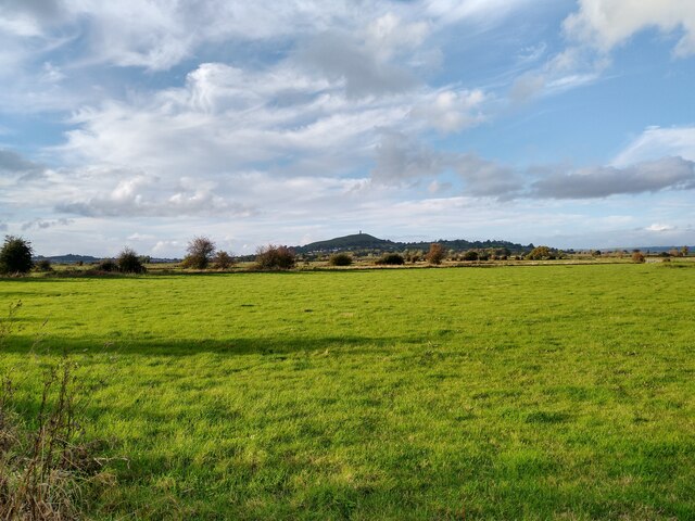
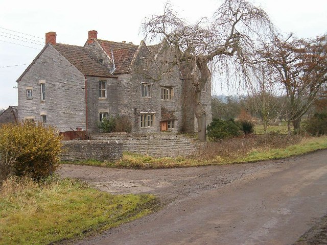
Havyatt is a small village located in the county of Somerset, England. It is situated approximately 5 miles south of the town of Shepton Mallet and 15 miles east of the city of Wells. Nestled in the Mendip Hills, Havyatt enjoys a picturesque and rural setting, surrounded by rolling countryside and farmland.

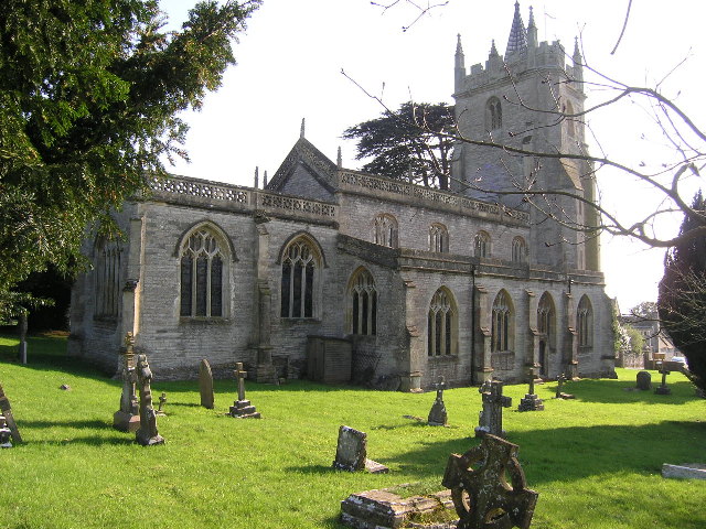
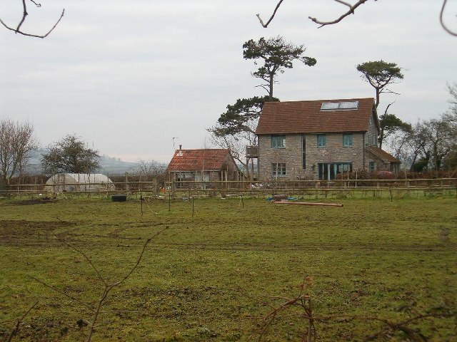
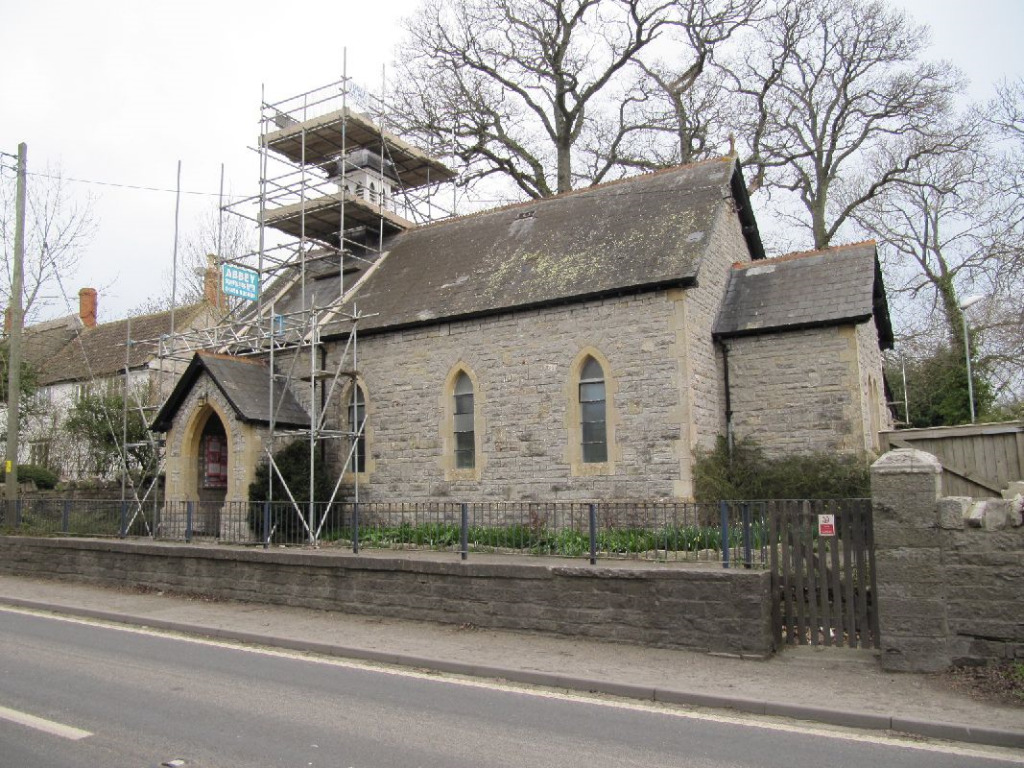
The village itself is characterized by its quaint and charming atmosphere, with a population of just over 200 residents. It is made up of a collection of traditional stone cottages and houses, giving it a timeless and idyllic feel. Havyatt is known for its strong sense of community, with a local pub and church serving as focal points for social gatherings and events.

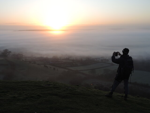
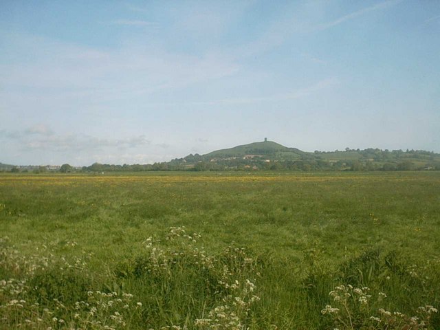
The surrounding area offers a range of outdoor activities, with ample opportunities for walking, cycling, and horse riding. The nearby Mendip Hills provide stunning panoramic views and are a popular destination for nature enthusiasts and hikers. Additionally, the village is within easy reach of several historical sites and landmarks, including the ancient city of Bath and the world-famous Cheddar Gorge.

Despite its peaceful and rural setting, Havyatt benefits from good transport links, with the A37 road running nearby, connecting it to the wider region. The village is also within a reasonable distance of larger towns and cities such as Bristol and Taunton, offering access to a wider range of amenities and services.

Overall, Havyatt is a charming and tranquil village, offering a peaceful retreat for those seeking a slower pace of life in the heart of the Somerset countryside.

If you have any feedback on the listing, please let us know in the comments section below.

Havyatt Images

Images are sourced within 2km of 51.138503/-2.666342 or Grid Reference ST5337. Thanks to Geograph Open Source API. All images are credited.

Kennard Moor and Glastonbury Tor from NCN26 A view of Kennard Moor, with Glastonbury Tor in the distance, photographed from NCN26 Kennard Moor Drove.
Kennard Moor and Glastonbury Tor from NCN26
A view of Kennard Moor, with Glastonbury Tor in the distance, photographed from NCN26 Kennard Moor Drove.
Open reservoir near the Tor Looking down at the foothills of Glastonbury Tor to the old Glastonbury Corporation Water Works reservoir on Ashwell Lane. There are a few reservoirs around the hill, mainly small and covered.
Open reservoir near the Tor
Looking down at the foothills of Glastonbury Tor to the old Glastonbury Corporation Water Works reservoir on Ashwell Lane. There are a few reservoirs around the hill, mainly small and covered.
Cow down on Stone Down Hill Time for some cud chewing, whilst the hoards of people clamber over Glastonbury Tor.
Cow down on Stone Down Hill
Time for some cud chewing, whilst the hoards of people clamber over Glastonbury Tor.
A patch of ancient Avalon There are two ancient oak trees set amongst the fields around Glastonbury Tor. They are Gog and Magog, two trees that are amongst the oldest remaining in the county.
A patch of ancient Avalon
There are two ancient oak trees set amongst the fields around Glastonbury Tor. They are Gog and Magog, two trees that are amongst the oldest remaining in the county.
Ancient avenue of Avalon These two old oaks are Gog and Magog, surviving examples of the mystic lands of Avalon. That is, they had survived up until very recently in their lives whilst the low-lying land has become taken up with agriculture. Following the custom of leaving a votive offering which had included lit candles and sticks, the nearest tree caught fire and was killed. To protect them a substantial fence has been erected, all perhaps too late though.
Ancient avenue of Avalon
These two old oaks are Gog and Magog, surviving examples of the mystic lands of Avalon. That is, they had survived up until very recently in their lives whilst the low-lying land has become taken up with agriculture. Following the custom of leaving a votive offering which had included lit candles and sticks, the nearest tree caught fire and was killed. To protect them a substantial fence has been erected, all perhaps too late though.
A departed guardian This is Gog, one of two ancient oak trees that have remained after all that has happened. Along with Magog, they were part of what appears to have been an avenue of trees that are at least a thousand years old.

However, most of that line of trees was felled when the land was taken over for farming in 1906. It is believed that soil compaction brought about Gog's death in 2001. Then, with culture around Glastonbury returning to the more druidical, people often left trinkets and votive items here; a lit candle is thought to have caused a fire in 2017, causing the loss of limbs.

Although dead, the old oak still proivdes some shelter for various forms of life as well as being a beautiful sight for travellers.
A departed guardian
This is Gog, one of two ancient oak trees that have remained after all that has happened. Along with Magog, they were part of what appears to have been an avenue of trees that are at least a thousand years old. However, most of that line of trees was felled when the land was taken over for farming in 1906. It is believed that soil compaction brought about Gog's death in 2001. Then, with culture around Glastonbury returning to the more druidical, people often left trinkets and votive items here; a lit candle is thought to have caused a fire in 2017, causing the loss of limbs. Although dead, the old oak still proivdes some shelter for various forms of life as well as being a beautiful sight for travellers.
Wrinkled but living This is Magog, one of a pair of remaining oak trees from the times when Avalon was in full flourish. Thought to be part of a revered avenue of oaks, Magog is the last to live. Its only partner, Gog is sadly dead now - as of about 2001 - but Magog still produces leaves every year. And like its partner, the tree suffered from fire in 2009 when some worshipper left a lit candle; fortunately it did not succumb but has the scars to show for it.
Wrinkled but living
This is Magog, one of a pair of remaining oak trees from the times when Avalon was in full flourish. Thought to be part of a revered avenue of oaks, Magog is the last to live. Its only partner, Gog is sadly dead now - as of about 2001 - but Magog still produces leaves every year. And like its partner, the tree suffered from fire in 2009 when some worshipper left a lit candle; fortunately it did not succumb but has the scars to show for it.
History in every branch Magog is the last survivor of an ancient avenue of oaks whose histories may reach back two thousand years. It is said that the ceremonial avenue was the entry point to the Isle of Avalon and a route to the Tor. However, the lands were converted into a farm in 1906 and most of the trees were felled; one sentinel was measured at 3.5m (11ft) in diameter.
History in every branch
Magog is the last survivor of an ancient avenue of oaks whose histories may reach back two thousand years. It is said that the ceremonial avenue was the entry point to the Isle of Avalon and a route to the Tor. However, the lands were converted into a farm in 1906 and most of the trees were felled; one sentinel was measured at 3.5m (11ft) in diameter.
Worth the effort Getting up early and climbing the Tor has brought its rewards. Dawn breaks and there are a good half a dozen intrepid visitors, each receiving the first light of a new day together.
Worth the effort
Getting up early and climbing the Tor has brought its rewards. Dawn breaks and there are a good half a dozen intrepid visitors, each receiving the first light of a new day together.
Stone Down sunrise Dawn in mid March often brings a large carpet of fog and mist below the Tor. As the rays start to warm it the tops of nearby Stone Down emerge.
Stone Down sunrise
Dawn in mid March often brings a large carpet of fog and mist below the Tor. As the rays start to warm it the tops of nearby Stone Down emerge.
Redolent of the old times From the heights of Glastonbury Tor, the lower levels of Stone Down are only just starting to emerge from the overnight fog. As the dawn slowly clears it, the landscape looks rather like a scene with coastal islands. In prehistoric times, most of central Somerset was under water, before shrinking levels brought more land to reach.
Redolent of the old times
From the heights of Glastonbury Tor, the lower levels of Stone Down are only just starting to emerge from the overnight fog. As the dawn slowly clears it, the landscape looks rather like a scene with coastal islands. In prehistoric times, most of central Somerset was under water, before shrinking levels brought more land to reach.
Somerset sinking in a sea of fog The lowlands at the foot of Glastonbury Tor are prone to many weathers, today's being a thick blanket of fog as dawn breaks. The villages of Edgarley and Havyatt are just about able to see the light. Given the promising forecast, they won't have to wait too long as the sun chases the fog away.
Somerset sinking in a sea of fog
The lowlands at the foot of Glastonbury Tor are prone to many weathers, today's being a thick blanket of fog as dawn breaks. The villages of Edgarley and Havyatt are just about able to see the light. Given the promising forecast, they won't have to wait too long as the sun chases the fog away.
Edgarley in the mist Edgarley reservoir is clearly visible from Glastonbury Tor, even though a thick blanket of fog has formed overnight. But as dawn arrises, the light starts to pick out a few details of the farmland as well as the water.
Edgarley in the mist
Edgarley reservoir is clearly visible from Glastonbury Tor, even though a thick blanket of fog has formed overnight. But as dawn arrises, the light starts to pick out a few details of the farmland as well as the water.
West Pennard (Somerset) Church of St Nicholas
The Ecohouse
The Ecohouse
Manor Farm
Manor Farm
Edgerly Reservoir This photograph is of a reservoir near Edgerly it was taken from Glastonbury Tor
Edgerly Reservoir
This photograph is of a reservoir near Edgerly it was taken from Glastonbury Tor
Butt Moor (Nr Glastonbury)
Show me another place!

Havyatt is located at Grid Ref: ST5337 (Lat: 51.138503, Lng: -2.666342)

Administrative County: Somerset

District: Mendip

Police Authority: Avon and Somerset

What 3 Words

///dealings.command.publisher. Near Glastonbury, Somerset

Related Wikis

Ponter's Ball Dyke

Ponter's Ball Dyke is a linear earthwork located near Glastonbury in Somerset, England. It crosses, at right angles, an ancient road that continues on...

West Pennard

West Pennard (or West Pennard Manor) is a village and civil parish east of Glastonbury, situated at the foot of Pennard Hill, in Somerset, England. The...

West Pennard Court Barn

West Pennard Court Barn (which is also known as the Court Barn, West Bradley) is a late 14th or early 15th century tithe barn which was built for Glastonbury...

St Andrew's Church, Edgarley

St Andrew's Church is a former Church of England mission church in Edgarley, Somerset, England. It was built in 1897 and is now used as a private chapel...

Nearby Amenities

Located within 500m of 51.138503,-2.666342
Power: pole
Lat/Long: 51.1395491/-2.6732072
Power: pole
Lat/Long: 51.1398438/-2.6718063
Power: pole
Lat/Long: 51.1400997/-2.6706174
Power: pole
Lat/Long: 51.1403506/-2.669348
Power: pole
Lat/Long: 51.1406386/-2.6679793
Power: pole
Lat/Long: 51.1409299/-2.6665623
Power: pole
Lat/Long: 51.1412734/-2.6649413
Power: pole
Lat/Long: 51.1415259/-2.6637873
Power: pole
Lat/Long: 51.1420715/-2.6627031
Post Box
Brand: Royal Mail
Brand Wikidata: Q638098
Mapillary: 104717415652031
Operator: Royal Mail
Operator Wikidata: Q638098
Post Box Mounting: pier
Post Box Type: lamp
Ref: BA6 131
Royal Cypher: EIIR
Royal Cypher Wikidata: Q33102113
Survey Date: 2022-05-28
Lat/Long: 51.1395111/-2.6625565
Power: pole
Lat/Long: 51.1388295/-2.671684
Power: pole
Lat/Long: 51.1388514/-2.6724485
Power: pole
Lat/Long: 51.1389843/-2.6725665
Power: pole
Lat/Long: 51.1389675/-2.6718637
Power: pole
Lat/Long: 51.1389321/-2.6704878
Havyatt
Place: hamlet
Lat/Long: 51.1384593/-2.6683903
The data included in this document is from www.openstreetmap.org. The data is made available under ODbL.

Have you been to Havyatt?

Leave your review of Havyatt below (or comments, questions and feedback).