Back Park
Downs, Moorland in Yorkshire Harrogate
England
Back Park
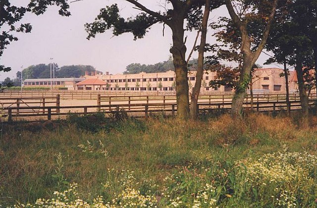
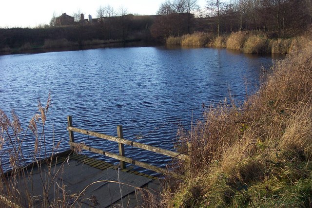
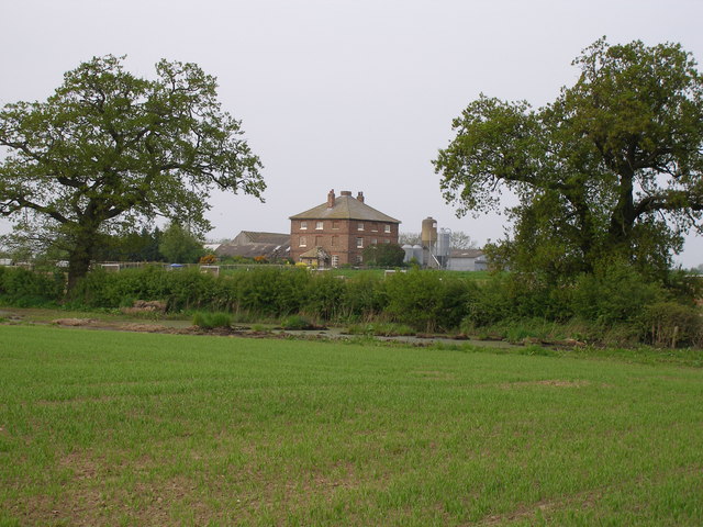
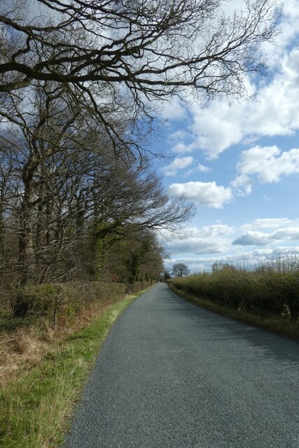
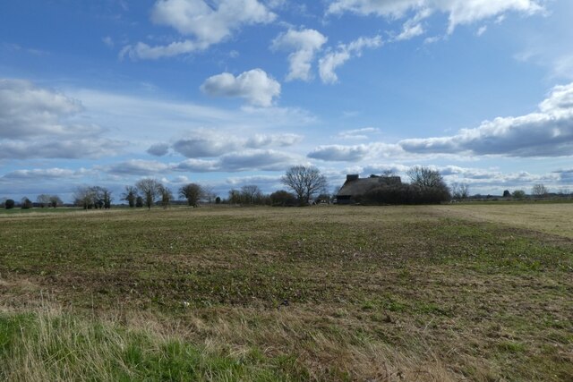
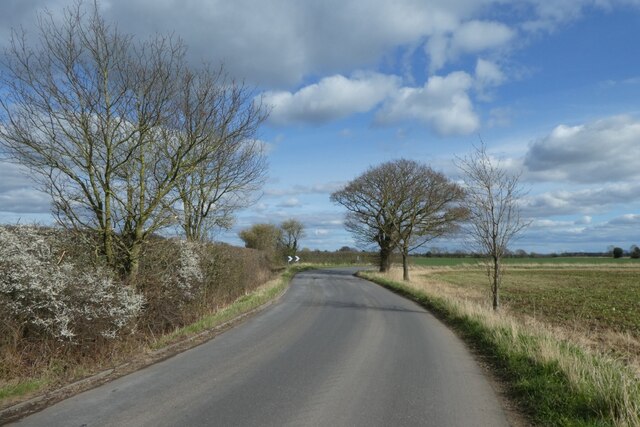
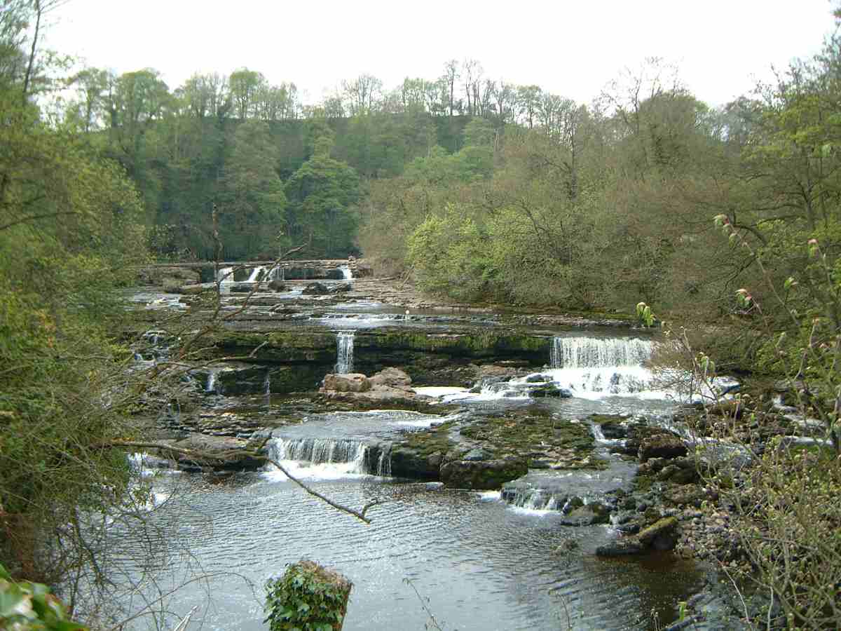
Black Park is a picturesque and sprawling natural area located in Yorkshire, England. With its enchanting combination of downs and moorland, it offers a diverse and captivating landscape for visitors to explore. Covering an expansive area, the park is a haven for nature enthusiasts and those seeking tranquility and outdoor activities.
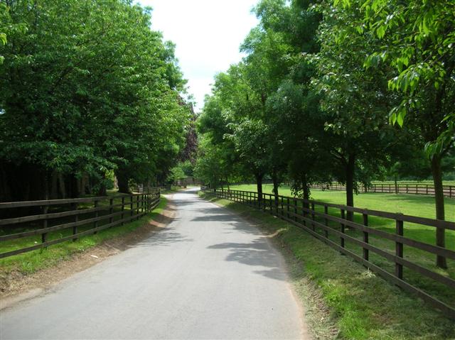
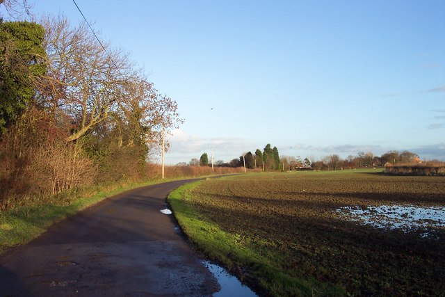
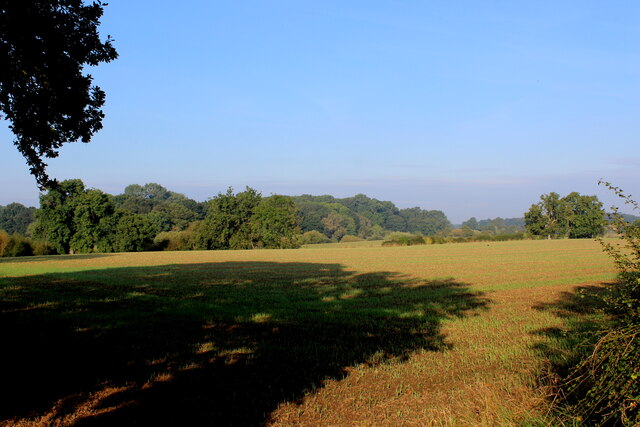
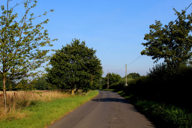
The downs of Black Park are characterized by rolling hills and open grasslands, providing breathtaking vistas that stretch as far as the eye can see. The undulating terrain is perfect for hiking, cycling, and picnicking, with numerous well-marked trails catering to all abilities. The downs are adorned with an array of vibrant wildflowers during the summer months, creating a stunning tapestry of colors.
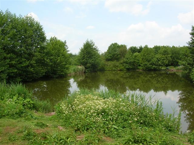
Venturing into the moorland section of Black Park reveals a different facet of its natural beauty. Here, visitors can immerse themselves in the rugged and untamed wilderness, with heather-clad hills and expansive open spaces. The moors are home to a rich variety of wildlife, including birds of prey, deer, and rare plant species. Explorers can follow designated footpaths that wind through the moorland, allowing them to fully appreciate its unique charm.
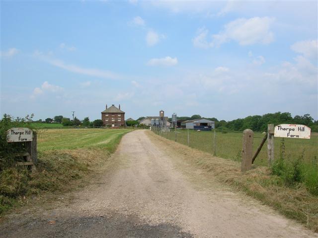
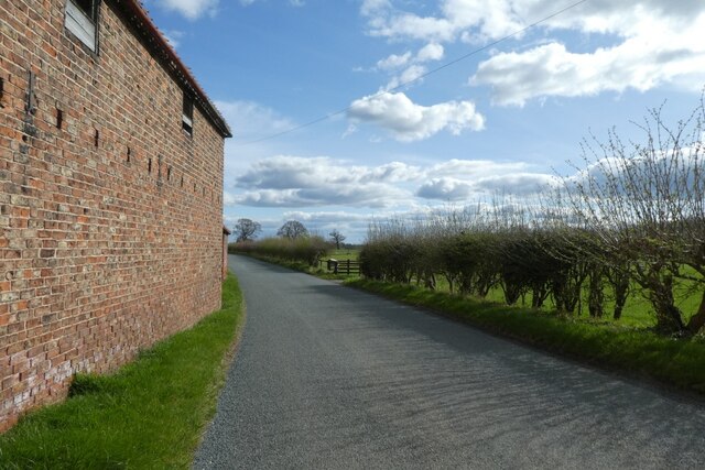
Black Park also boasts several amenities for visitors to enjoy. These include picnic areas, visitor centers, and facilities for horse riding and camping. The park's tranquil atmosphere and breathtaking scenery make it a popular destination for both locals and tourists looking to escape the hustle and bustle of city life.
Overall, Black Park in Yorkshire offers a captivating blend of downs and moorland, providing a haven of natural beauty and outdoor activities for all who visit.
If you have any feedback on the listing, please let us know in the comments section below.
Back Park Images
Images are sourced within 2km of 54.04199/-1.2968414 or Grid Reference SE4660. Thanks to Geograph Open Source API. All images are credited.


Back Park is located at Grid Ref: SE4660 (Lat: 54.04199, Lng: -1.2968414)
Division: West Riding
Administrative County: North Yorkshire
District: Harrogate
Police Authority: North Yorkshire
What 3 Words
///mimes.hunk.material. Near Linton upon Ouse, North Yorkshire
Nearby Locations
Related Wikis
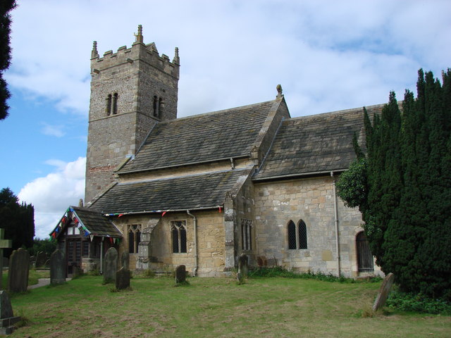
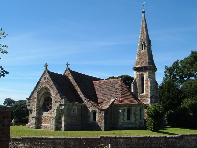
Holy Trinity Church, Little Ouseburn
Holy Trinity Church stands to the northeast of the village of Little Ouseburn, North Yorkshire, England. It is an Anglican parish church in the deanery...

Thorpe Underwood, North Yorkshire
Thorpe Underwood is a settlement and (as Thorpe Underwoods) a civil parish about 10 miles (16 km) north of York, in the former Harrogate district of North...

St Mary the Virgin's Church, Great Ouseburn
St Mary the Virgin's Church is in the village of Great Ouseburn, North Yorkshire, England. It is an active Anglican parish church in the deanery of Ripon...

Little Ouseburn
Little Ouseburn is a small village and civil parish in the Harrogate district of North Yorkshire, England. It is situated near the A1(M) motorway and 6...

Queen Ethelburga's Collegiate
Queen Ethelburga's Collegiate incorporates four boarding and day schools for girls and boys from 3 months to 19 years old, located in Thorpe Underwood...

Great Ouseburn
Great Ouseburn is a village and civil parish in the Harrogate district of North Yorkshire, England. It is situated 4 miles (6 km) south-east of Boroughbridge...
River Ure
The River Ure in North Yorkshire, England, is about 74 miles (119 km) long from its source to the point where it becomes the River Ouse. It is the principal...
Aldwark, Hambleton
Aldwark is a village and civil parish in the Hambleton District of North Yorkshire, England. It is situated on the River Ouse about 14 miles from York...
Nearby Amenities
Located within 500m of 54.04199,-1.2968414Have you been to Back Park?
Leave your review of Back Park below (or comments, questions and feedback).