Billington Rough
Downs, Moorland in Leicestershire Blaby
England
Billington Rough
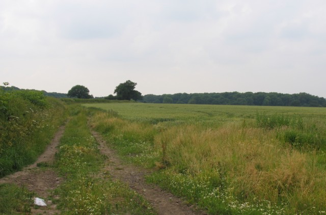
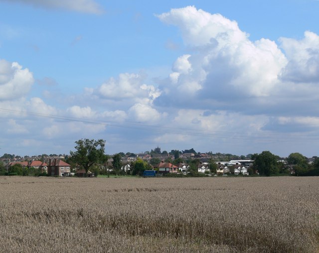
Billington Rough is a picturesque area located in Leicestershire, England. Situated on the outskirts of the village of Billington, this region is known for its stunning downs and moorland landscapes. Covering a vast area of approximately 500 acres, Billington Rough offers a diverse range of natural features and wildlife habitats.
The downs of Billington Rough are characterized by their rolling hills and expansive grasslands. These open spaces provide a perfect environment for grazing animals such as sheep and cattle. The lush greenery offers a serene atmosphere, attracting visitors who enjoy walking, picnicking, or simply appreciating the beauty of the countryside.
In addition to the downs, the moorland areas of Billington Rough add another layer of charm to the landscape. The moorlands are characterized by their heather-covered hillsides, scattered with patches of gorse and bracken. These habitats provide a home to various bird species and small mammals, making it a popular spot for birdwatching and nature enthusiasts.
Billington Rough is also home to a number of footpaths and trails, allowing visitors to explore the area at their own pace. The diverse terrain offers a range of difficulty levels, catering to both casual walkers and experienced hikers.
Due to its natural beauty and ecological importance, Billington Rough has been designated as a Site of Special Scientific Interest (SSSI). This recognition ensures the protection and conservation of the area's unique features and biodiversity.
Overall, Billington Rough in Leicestershire offers a tranquil escape from the bustle of city life, providing visitors with a chance to immerse themselves in the beauty of the downs and moorland landscapes.
If you have any feedback on the listing, please let us know in the comments section below.
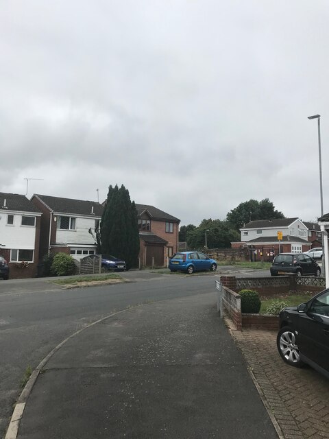
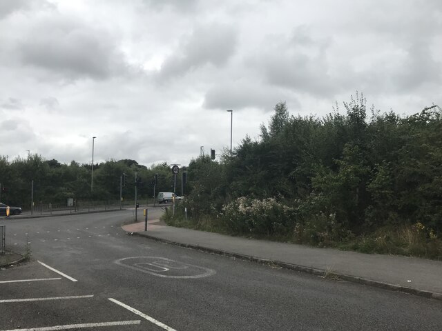
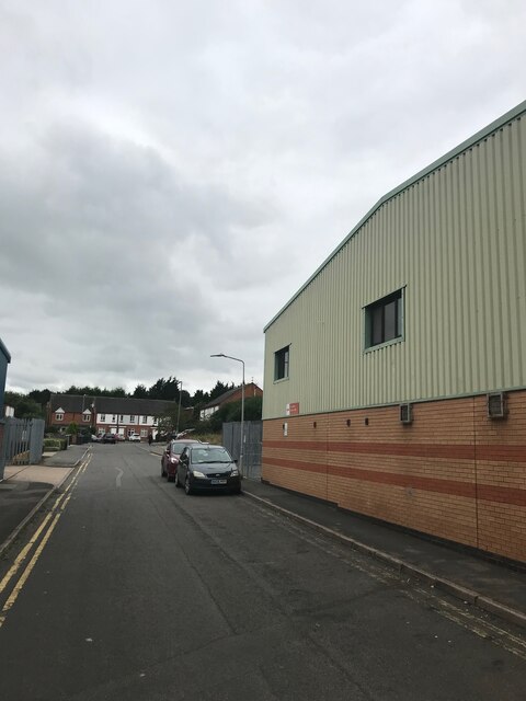
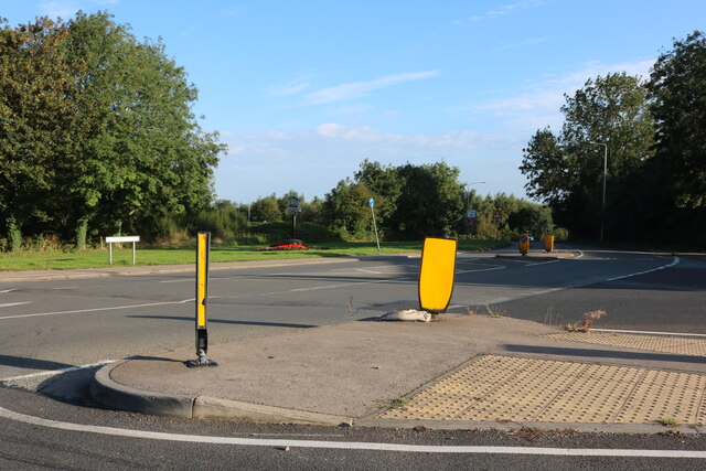
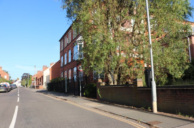
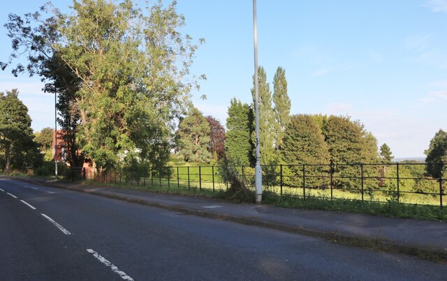
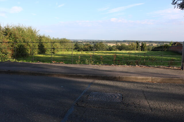
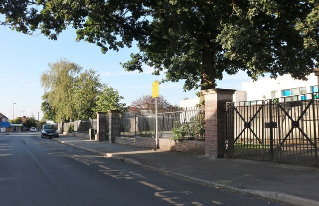
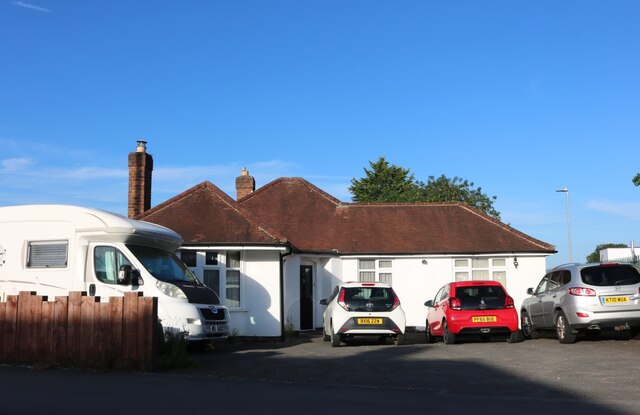
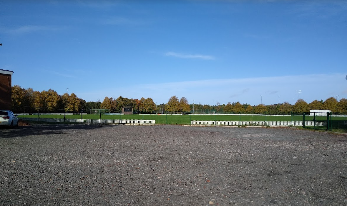
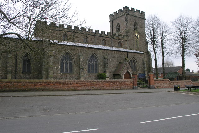
Billington Rough Images
Images are sourced within 2km of 52.557133/-1.3218698 or Grid Reference SP4695. Thanks to Geograph Open Source API. All images are credited.


Billington Rough is located at Grid Ref: SP4695 (Lat: 52.557133, Lng: -1.3218698)
Administrative County: Leicestershire
District: Blaby
Police Authority: Leicestershire
What 3 Words
///milder.stammer.towers. Near Earl Shilton, Leicestershire
Nearby Locations
Related Wikis

Elmesthorpe
Elmesthorpe (sometimes spelt Elmersthorpe, Elmsthorpe or Aylmersthorpe) is a village and civil parish in the Blaby district of Leicestershire, England...

Elmesthorpe railway station
Elmesthorpe was a railway station serving the village of Elmesthorpe in the Blaby district of Leicestershire, England. It was located on what is now the...

Hinckley Leicester Road F.C.
Hinckley Leicester Road Football Club is a football club based in Hinckley, England. Formed on 4 November 2013 after the liquidation of Hinckley United...
Leicester Road
The Leicester Road Ground is a cricket ground based in the town of Hinckley, Leicestershire. It has, in the past, been used by Leicestershire as an outground...
Hinckley Rural District
The rural district of Hinckley was set up in 1894, covering the rural area around Hinckley, Leicestershire, England. It was named for Hinckley, but did...
St Mary's Church, Barwell
St Mary's Church is a church in Barwell, Leicestershire. It is a Grade I listed building. == History == The church dates back to circa 1300–50. It consists...
Burbage Wood and Aston Firs
Burbage Wood and Aston Firs is a 51.1-hectare (126-acre) biological Site of Special Scientific Interest Leicestershire. == Overview == These semi-natural...
Barwell
Barwell is a civil parish and large village in Leicestershire, England, with a population of 8,750 residents, Increasing to 9,022 at the 2011 census, the...
Nearby Amenities
Located within 500m of 52.557133,-1.3218698Have you been to Billington Rough?
Leave your review of Billington Rough below (or comments, questions and feedback).