West Field
Downs, Moorland in Yorkshire Harrogate
England
West Field
West Field is a picturesque area located in the county of Yorkshire, England. Nestled between the Downs and Moorland regions, it offers visitors a unique blend of natural beauty and rural charm. Covering a vast expanse of rolling hills, green fields, and meandering rivers, West Field is a haven for nature lovers and outdoor enthusiasts.
The Downs area of West Field is characterized by its gentle slopes and wide-open spaces, offering breathtaking panoramic views of the surrounding countryside. It is a popular spot for hiking and walking, with numerous trails crisscrossing through the landscape, allowing visitors to explore the area's diverse flora and fauna.
In contrast, the Moorland region of West Field is characterized by its rugged terrain, heather-covered hills, and expansive moors. This part of the area is renowned for its unique ecosystem, supporting a variety of wildlife including birds of prey, grouse, and deer. It is a favorite destination for birdwatchers, as the moorland is home to several rare and protected species.
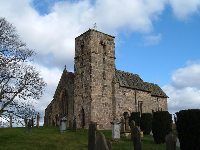
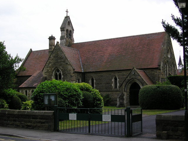
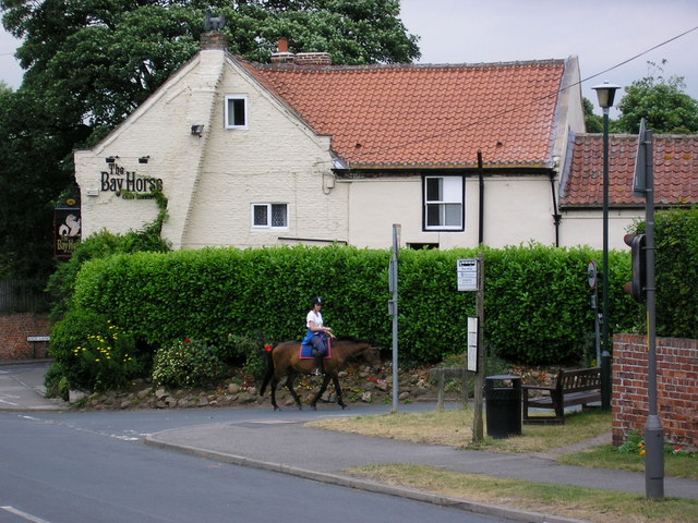
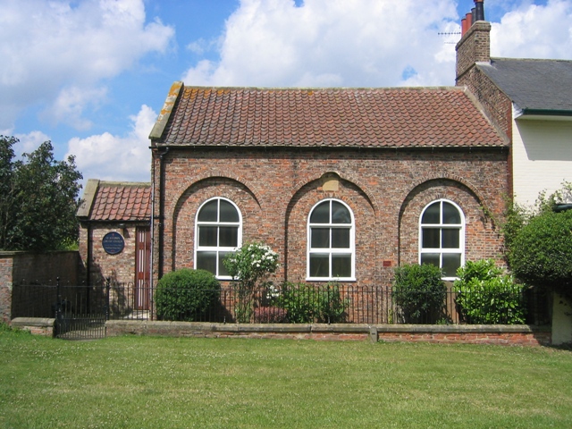
Visitors to West Field can also explore the charming villages and towns that dot the area, each offering a glimpse into the rich history and culture of Yorkshire. Quaint cottages, historic churches, and traditional pubs can be found throughout the region, providing a warm and welcoming atmosphere.
Overall, West Field, Yorkshire (Downs, Moorland) is a captivating destination that showcases the beauty of the English countryside. Whether it's admiring the stunning vistas, embarking on an outdoor adventure, or immersing oneself in the local heritage, this area offers a truly unforgettable experience for all who visit.
If you have any feedback on the listing, please let us know in the comments section below.
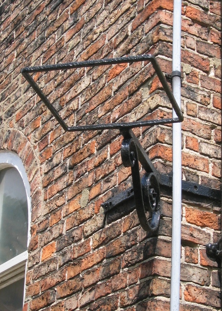
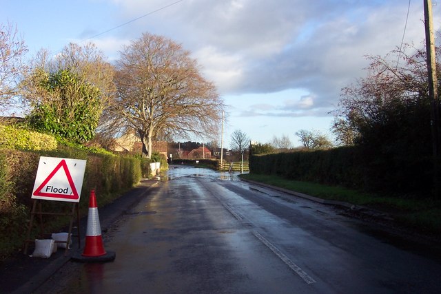
West Field Images
Images are sourced within 2km of 53.991325/-1.2998151 or Grid Reference SE4655. Thanks to Geograph Open Source API. All images are credited.


West Field is located at Grid Ref: SE4655 (Lat: 53.991325, Lng: -1.2998151)
Division: West Riding
Administrative County: North Yorkshire
District: Harrogate
Police Authority: North Yorkshire
What 3 Words
///innovator.agree.upstairs. Near Linton upon Ouse, North Yorkshire
Nearby Locations
Related Wikis
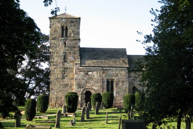
St John the Baptist Church, Kirk Hammerton
St John the Baptist Church, Kirk Hammerton is a Grade I listed Church of England church located in the village of Kirk Hammerton, North Yorkshire, England...
Kirk Hammerton
Kirk Hammerton is a village and civil parish in the Harrogate district of North Yorkshire, England. It is near the River Nidd and the A59 road, 10 miles...

Maltkiln
Maltkiln is a proposed new village development centred around Cattal railway station in North Yorkshire, England. The development is just south of the...

Hammerton railway station
Hammerton is a railway station on the Harrogate Line, which runs between Leeds and York via Harrogate. The station, situated 8+3⁄4 miles (14 km) west of...
Nearby Amenities
Located within 500m of 53.991325,-1.2998151Have you been to West Field?
Leave your review of West Field below (or comments, questions and feedback).