West Field

Downs, Moorland in Yorkshire Harrogate

England

West Field

Tockwith Driver Training Centre The former Airfield is to the west of Tockwith. Since 1970 it has been used for all manner of driver training. This view is taken from the road looking south-west down the former runway.
Tockwith Driver Training Centre Credit: Christopher Thomas

West Field is a beautiful region located in the county of Yorkshire, England. It encompasses both the Downs and Moorland areas, offering a diverse and captivating landscape for visitors to explore.

The Downs portion of West Field is characterized by its rolling hills and expansive grasslands. It is a haven for nature enthusiasts, with an abundance of flora and fauna. Visitors can enjoy long walks or hikes, taking in the stunning views of the surrounding countryside. The Downs are also home to various species of birds, making it a popular spot for birdwatching.

On the other hand, the Moorland section of West Field offers a more rugged and wild terrain. Here, visitors can immerse themselves in the untamed beauty of the moors, with their vast stretches of heather-covered hills. The Moorland is dotted with ancient stone formations and scattered with picturesque streams. It is an ideal destination for those seeking solitude and a sense of tranquility.

West Field is also known for its rich history and cultural heritage. It is home to several historic sites, including ancient burial mounds and stone circles, which provide a glimpse into the region's past. Additionally, the local villages in West Field offer a warm and welcoming atmosphere, with charming pubs and quaint shops that showcase the area's traditional crafts and produce.

In summary, West Field, Yorkshire (Downs, Moorland) is a captivating region that offers a combination of stunning natural landscapes, rich history, and a vibrant local culture. It is a must-visit destination for those seeking to experience the beauty and charm of rural Yorkshire.

If you have any feedback on the listing, please let us know in the comments section below.
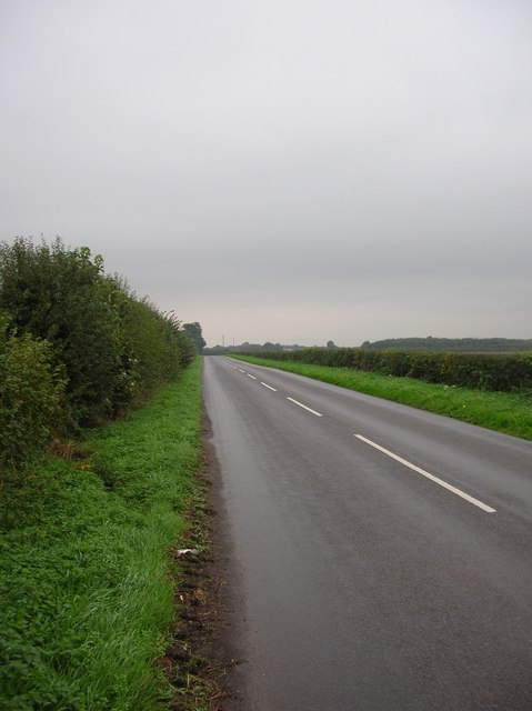
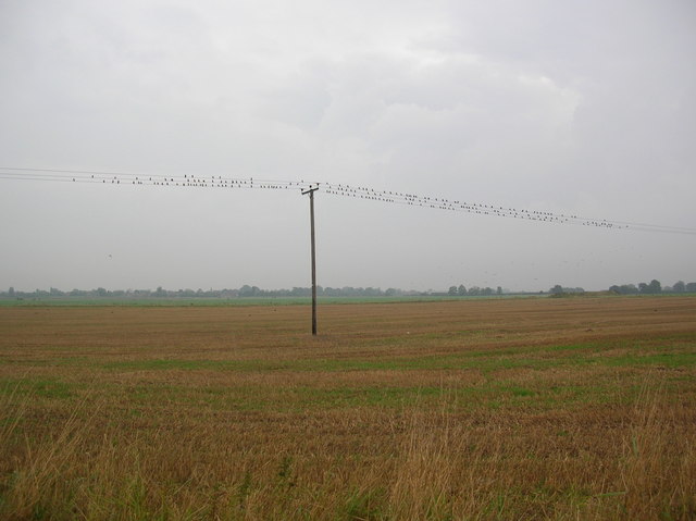
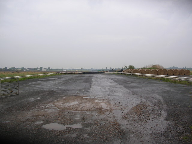
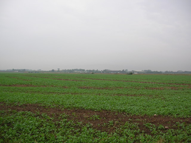
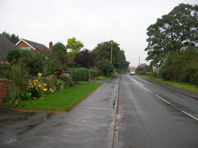
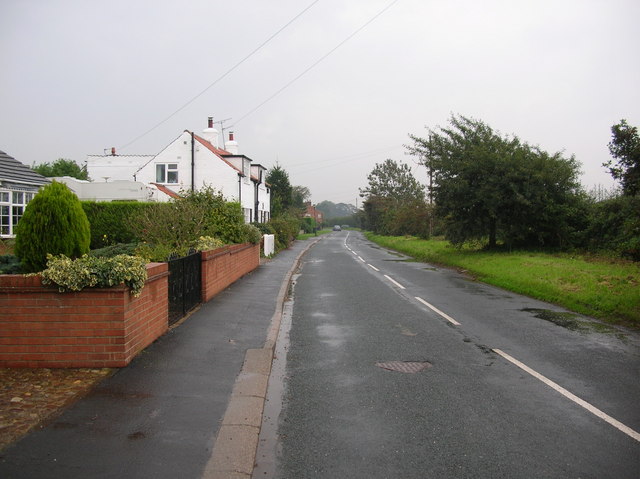
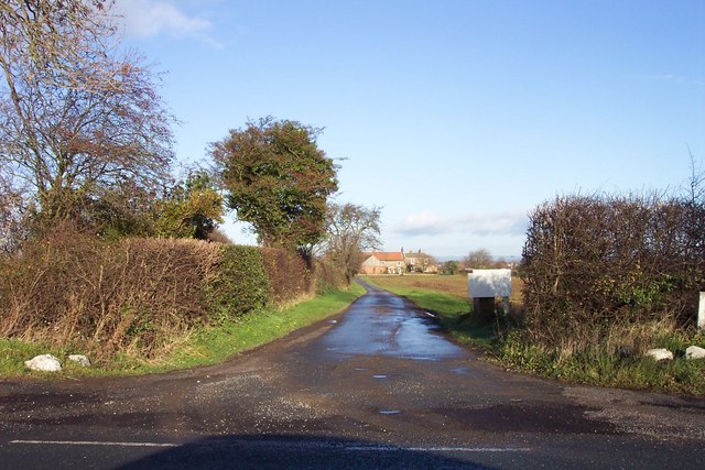
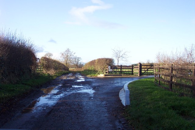
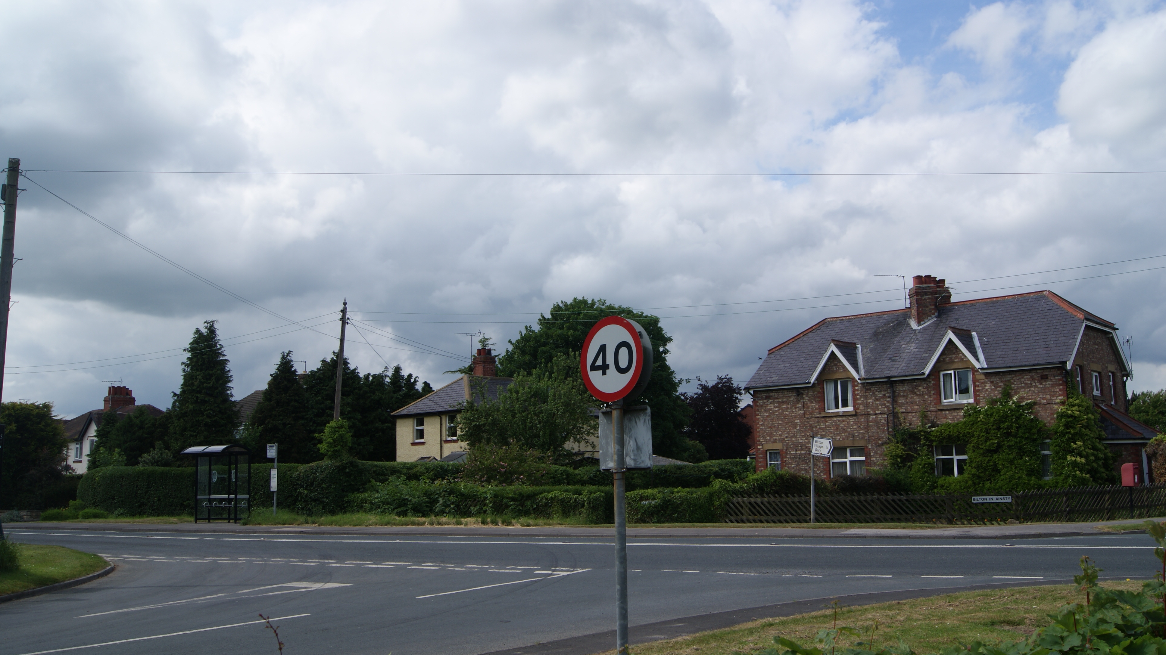
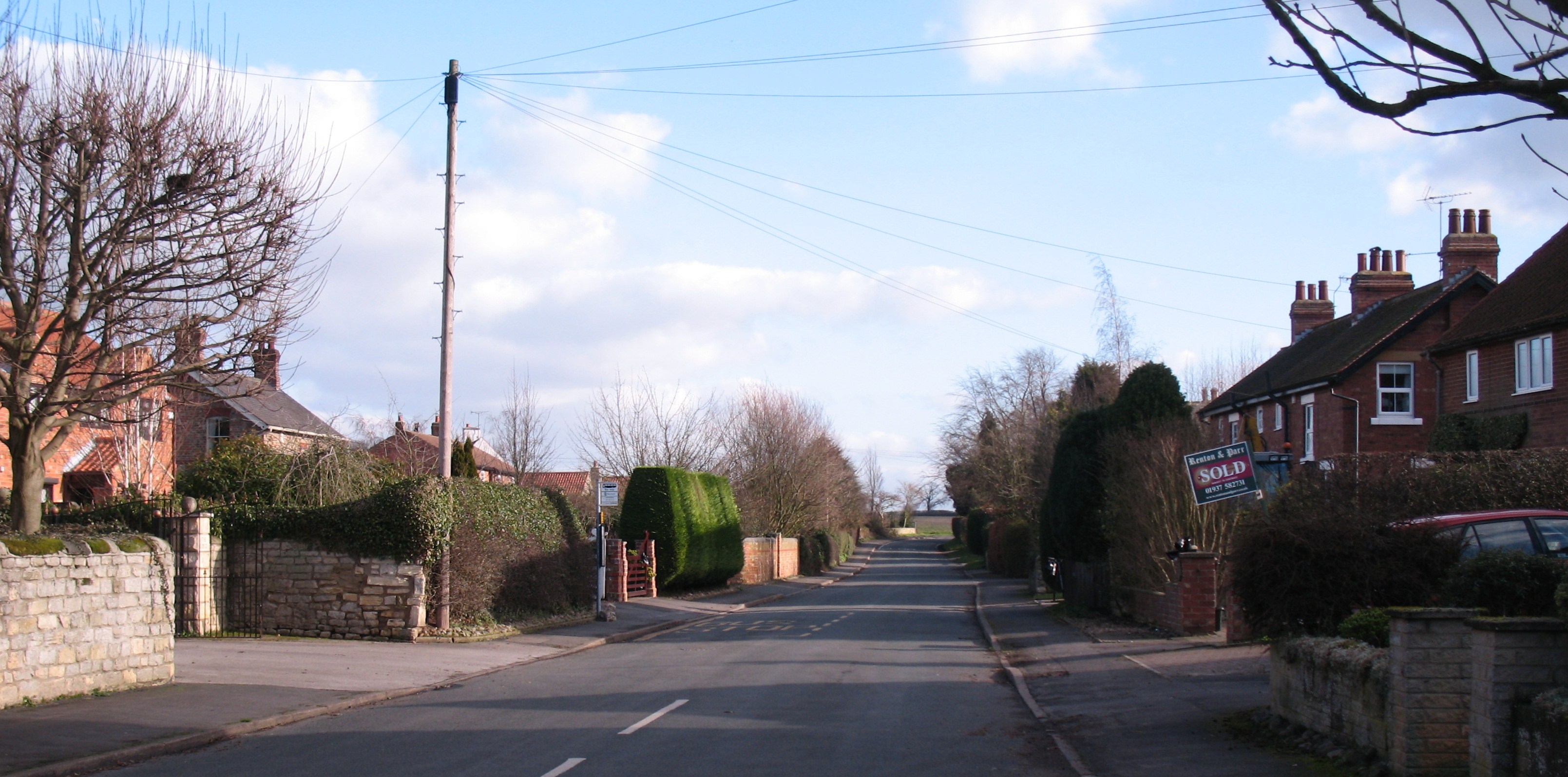
West Field Images

Images are sourced within 2km of 53.963419/-1.3062576 or Grid Reference SE4552. Thanks to Geograph Open Source API. All images are credited.

Tockwith Driver Training Centre The former Airfield is to the west of Tockwith. Since 1970 it has been used for all manner of driver training. This view is taken from the road looking south-west down the former runway.
Tockwith Driver Training Centre
The former Airfield is to the west of Tockwith. Since 1970 it has been used for all manner of driver training. This view is taken from the road looking south-west down the former runway.
Cowthorpe to Tockwith road Looking along the Cowthorpe to Tockwith road on a wet Monday afternoon.
Cowthorpe to Tockwith road
Looking along the Cowthorpe to Tockwith road on a wet Monday afternoon.
Moor Side The lane on the right is Moor Side. The water tower on Tockwith industrial estate (a former airfield) can be seen on the left.
Moor Side
The lane on the right is Moor Side. The water tower on Tockwith industrial estate (a former airfield) can be seen on the left.
Farmland at Tockwith crossroads To the left is the crossroads of the Tockwith to Cowthorpe and Cattal roads.
Farmland at Tockwith crossroads
To the left is the crossroads of the Tockwith to Cowthorpe and Cattal roads.
Marston Business Park Situated on the former airfield at Tockwith. Like many airfields in this area it is now a business park and industrial estate.
Marston Business Park
Situated on the former airfield at Tockwith. Like many airfields in this area it is now a business park and industrial estate.
Tockwith airfield Electric wires covered in birds at the edge of the former airfield at Tockwith.
Tockwith airfield
Electric wires covered in birds at the edge of the former airfield at Tockwith.
Tockwith runway The old runway at Tockwith Airfield. This area is now used as a driver training centre, and for carting.
Tockwith runway
The old runway at Tockwith Airfield. This area is now used as a driver training centre, and for carting.
Across Tockwith airfield Looking across the old airfield at Tockwith. The business park can be seen on the far side. The airfield itself is now a driver training centre.
Across Tockwith airfield
Looking across the old airfield at Tockwith. The business park can be seen on the far side. The airfield itself is now a driver training centre.
Tockwith industrial estate One of the buildings on the former airfield at Tockwith.
Tockwith industrial estate
One of the buildings on the former airfield at Tockwith.
Tockwith Lane A street of houses in the village of Tockwith.
Tockwith Lane
A street of houses in the village of Tockwith.
Tockwith The village of Tockwith. The pub on the right is the Boot & Shoe.
Tockwith
The village of Tockwith. The pub on the right is the Boot & Shoe.
Outskirts of Tockwith Leaving the village of Tockwith, heading for York.
Outskirts of Tockwith
Leaving the village of Tockwith, heading for York.
West Grange Looking north from the B1224 York to Wetherby road.
West Grange
Looking north from the B1224 York to Wetherby road.
Old and new houses in Bickerton Good examples of new-build and traditional village house styles.
Old and new houses in Bickerton
Good examples of new-build and traditional village house styles.
Lane junction near Bickerton Left fork leads to Ainsty Bridge, right fork to Lingcroft.
Lane junction near Bickerton
Left fork leads to Ainsty Bridge, right fork to Lingcroft.
J Revis & Sons Transport and warehousing company.
J Revis & Sons
Transport and warehousing company.
MWS Joinery Part of Horbury Group, which are involved in building products.
MWS Joinery
Part of Horbury Group, which are involved in building products.
Entrance to Bilton Grange
Show me another place!

West Field is located at Grid Ref: SE4552 (Lat: 53.963419, Lng: -1.3062576)

Division: West Riding

Administrative County: North Yorkshire

District: Harrogate

Police Authority: North Yorkshire

What 3 Words

///flocking.sketching.norms. Near Walton, West Yorkshire

Nearby Locations

West Field

Related Wikis

RAF Marston Moor

RAF Marston Moor was a Royal Air Force airfield at Tockwith, North Yorkshire, during the Second World War. It was originally called RAF Tockwith, but...

Tockwith

Tockwith is a village and civil parish in the Harrogate district of North Yorkshire, England, near the town of Wetherby and the city of York. There has...

Bilton-in-Ainsty with Bickerton

Bilton-in-Ainsty with Bickerton is a civil parish in the Harrogate district of North Yorkshire, England. According to the 2001 census it had a population...

Bickerton, North Yorkshire

Bickerton is a village on the B1224 road, in the civil parish of Bilton-in-Ainsty with Bickerton, in North Yorkshire, England. The nearest town is Wetherby...

Nearby Amenities

Located within 500m of 53.963419,-1.3062576
Barrier: lift_gate
Lat/Long: 53.9658223/-1.3124551
Post Box
Post Box Apertures: 2
Post Box Design: type_c
Post Box Type: pillar
Royal Cypher: EIIR
Royal Cypher Wikidata: Q33102113
Lat/Long: 53.9657373/-1.3127137
Tockwith Caravan Storage
Tourism: caravan_site
Lat/Long: 53.9654709/-1.3103757
The data included in this document is from www.openstreetmap.org. The data is made available under ODbL.

Have you been to West Field?

Leave your review of West Field below (or comments, questions and feedback).