Haverigg

Settlement in Cumberland Copeland

England

Haverigg

St Georges Road, Millom
St Georges Road, Millom Credit: Colin Pyle

Haverigg is a charming village located in the county of Cumberland, in North West England. Situated on the south-western edge of the Lake District National Park, it boasts a picturesque setting with stunning views of the Irish Sea and the nearby Black Combe Mountain.

With a population of around 1,000 residents, Haverigg exudes a sense of tranquility and offers a peaceful retreat for those seeking a break from the hustle and bustle of city life. The village is known for its close-knit community and friendly atmosphere, welcoming visitors with open arms.

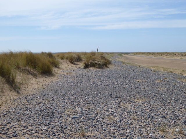
One of the main attractions in Haverigg is its beautiful beach, which stretches for miles along the coast. The golden sands and clear waters make it an ideal spot for sunbathing, swimming, and even water sports such as windsurfing and sailing. The beach is also home to a variety of wildlife, including seabirds and seals, making it a great destination for nature lovers.

In addition to its natural beauty, Haverigg offers a range of amenities for visitors. The village has a small selection of shops, pubs, and restaurants, where visitors can sample local cuisine and indulge in a relaxed dining experience. There is also a caravan park and holiday accommodation available for those looking to stay longer and explore the surrounding area.

Overall, Haverigg provides a peaceful getaway with its stunning natural scenery, friendly community, and range of activities for visitors to enjoy. Whether you're seeking relaxation or adventure, this charming village in Cumberland has something to offer everyone.

If you have any feedback on the listing, please let us know in the comments section below.
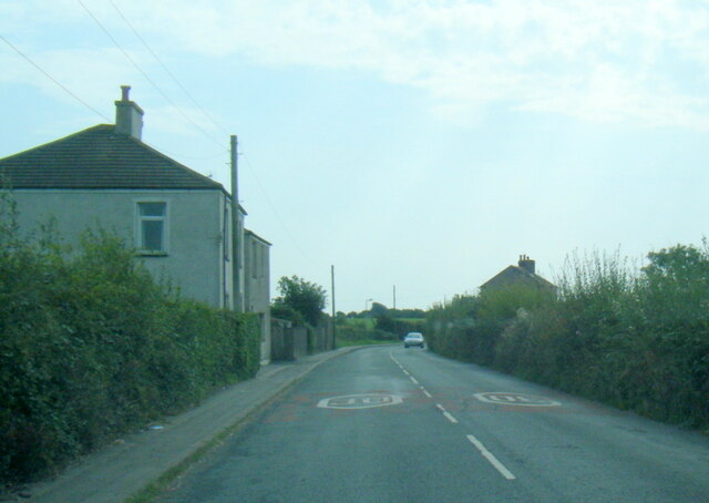
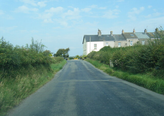
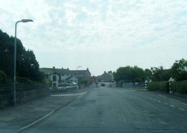
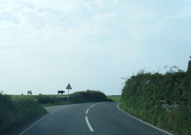
Haverigg Images

Images are sourced within 2km of 54.198148/-3.288965 or Grid Reference SD1678. Thanks to Geograph Open Source API. All images are credited.

St Georges Road, Millom
Haverigg Road near Moor House
Haverigg Beach
Haverigg Beach
Main Street, Haverigg
Main Street at Waingate Bridge
Hodbarrow Lighthouse on the Outer Barrier Established in 1905, Hodbarrow (Haverigg) Lighthouse sits on the Outer Barrier created for the former Hodbarrow Mines.

This photograph was taken during the Coronavirus (COVID-19) pandemic of 2020/21.
Hodbarrow Lighthouse on the Outer Barrier
Established in 1905, Hodbarrow (Haverigg) Lighthouse sits on the Outer Barrier created for the former Hodbarrow Mines. This photograph was taken during the Coronavirus (COVID-19) pandemic of 2020/21.
Ordnance Survey Cut Mark This OS cut mark can be found on the office building east side of Mainsgate Road. It marks a point 6.514m above mean sea level.
Ordnance Survey Cut Mark
This OS cut mark can be found on the office building east side of Mainsgate Road. It marks a point 6.514m above mean sea level.
The Front housing Pastel rendered housing with sea defences
The Front housing
Pastel rendered housing with sea defences
Escape to Light Sculpture With the inshore rescue centre behind to the right
Escape to Light Sculpture
With the inshore rescue centre behind to the right
Moor Road, Millom
Moor Road, Millom
A5093 near Hestham Hall Farm
Rusting and Waiting Iron pulley wheels on the Hodbarrow New Sea Wall that have remained idle since the completion of the defence in 1905. 
Wind turbines can be seen on the southside of the Duddon Estuary.
Rusting and Waiting
Iron pulley wheels on the Hodbarrow New Sea Wall that have remained idle since the completion of the defence in 1905. Wind turbines can be seen on the southside of the Duddon Estuary.
Bullstone Bed at Haverigg A sandy spit west of the Outer Barrier surrounding the lagoon. Looking west from over Furness.
Bullstone Bed at Haverigg
A sandy spit west of the Outer Barrier surrounding the lagoon. Looking west from over Furness.
Steel Green, Haverigg Looking west from over Furness, with Millom at lower right.
Steel Green, Haverigg
Looking west from over Furness, with Millom at lower right.
St. George's Church and Graveyard, Millom St. George's Church on a very wet day; the gravestones in view are at the south and west sides of the building.
St. George's Church and Graveyard, Millom
St. George's Church on a very wet day; the gravestones in view are at the south and west sides of the building.
Lone figure on the sands On the vast tidal sands of Bullstone Bed, a lone dog walker (two dogs out of frame). In the background, just a few of the more than 200 offshore wind turbines in this part of the Irish Sea.
Lone figure on the sands
On the vast tidal sands of Bullstone Bed, a lone dog walker (two dogs out of frame). In the background, just a few of the more than 200 offshore wind turbines in this part of the Irish Sea.
Shingle and new dunes The beach at Wortbrig Scar is being occupied by shingle ridges topped with young sand dunes and covered with marram grass.
Shingle and new dunes
The beach at Wortbrig Scar is being occupied by shingle ridges topped with young sand dunes and covered with marram grass.
Sand ripples on Wortbrig Scar A lone  dog walker in the distance.
Sand ripples on Wortbrig Scar
A lone dog walker in the distance.
Show me another place!

Haverigg is located at Grid Ref: SD1678 (Lat: 54.198148, Lng: -3.288965)

Administrative County: Cumbria

District: Copeland

Police Authority: Cumbria

What 3 Words

///stereos.raves.cubic. Near Haverigg, Cumbria

Related Wikis

Haverigg

Haverigg is a village on the south-west coast of Cumbria, England, historically part of the county of Cumberland. In 2001 it had a population of 1,791...

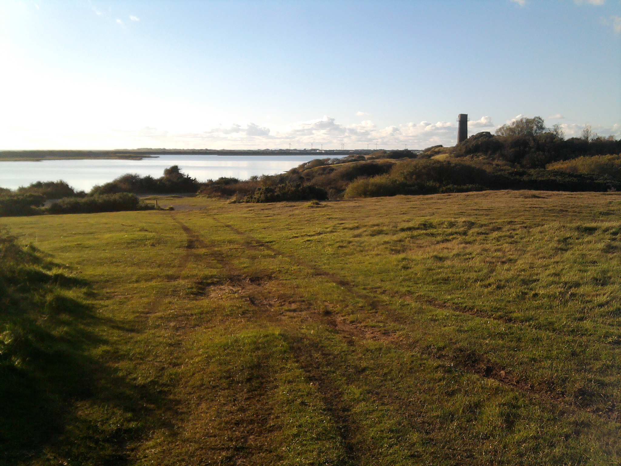
Hodbarrow RSPB reserve

Hodbarrow RSPB Reserve is a nature reserve run by the Royal Society for the Protection of Birds (RSPB) on the edge of the Lake District National Park in...

HM Prison Haverigg

HM Prison Haverigg is a Category D men's prison, located in the village of Haverigg (near Millom) in Cumbria, and historically in Cumberland, England....

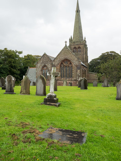
St George's Church, Millom

St George's Church is in the town of Millom, Cumbria, England. It is an active Anglican parish church in the deanery of Furness, the archdeaconry of Westmoreland...

Nearby Amenities

Located within 500m of 54.198148,-3.288965
Source: PGS
Lat/Long: 54.195619/-3.2856399
Source: PGS
Lat/Long: 54.1961812/-3.2846023
Source: PGS
Lat/Long: 54.196428/-3.2835999
Source: PGS
Lat/Long: 54.1965994/-3.2830667
Source: PGS
Lat/Long: 54.1966773/-3.2827438
Bus Stop
Town Head
Bus: yes
Local Ref: AT
Naptan AtcoCode: 090050150424
Naptan Bearing: N
Naptan CommonName: Town Head
Naptan Indicator: at
Naptan Landmark: junction with Caton Street
Naptan NaptanCode: cumatwta
Naptan Street: Main Street
Naptan Verified: no
Public Transport: platform
Source: naptan_import
Lat/Long: 54.1982944/-3.2936729
Bus Stop
The Jack Russell
Bus: yes
Naptan AtcoCode: 090050150425
Naptan Bearing: S
Naptan CommonName: The Jack Russell
Naptan Indicator: opp
Naptan Landmark: the Jack Russell pub
Naptan NaptanCode: cumatwtd
Naptan Street: Main Street
Naptan Verified: no
Public Transport: platform
Source: naptan_import
Lat/Long: 54.1981546/-3.2933006
Bus Stop
Haverigg Harbour Hotel
Bench: no
Bin: no
Bus: yes
Departures Board: yes
Naptan AtcoCode: 090050151156
Naptan Bearing: N
Naptan CommonName: Harbour Hotel (N bound)
Naptan Indicator: near
Naptan Landmark: Harbour Hotel
Naptan NaptanCode: cumatwtw
Naptan Street: Poolside
Network: Stagecoach Bus
Public Transport: platform
Shelter: yes
Source: naptan_import
Tactile Paving: no
Lat/Long: 54.1972936/-3.288392
Bus Stop
Haverigg near Harbour Hotel
Bus: yes
Flag: no
Layby: yes
Local Ref: AT
Naptan AtcoCode: 090050152472
Naptan Bearing: W
Naptan BusStopType: CUS
Naptan CommonName: Harbour Hotel (W bound)
Naptan Indicator: at
Naptan Landmark: junction with Silverdale Street
Naptan NaptanCode: cumawagd
Naptan Street: Main Street
Public Transport: platform
Source: naptan_import
Lat/Long: 54.1970402/-3.2891113
Source: PGS
Lat/Long: 54.1954037/-3.2865415
Turning Circle
Lat/Long: 54.199743/-3.2930978
Turning Circle
Lat/Long: 54.1995291/-3.2876148
Turning Circle
Lat/Long: 54.1999154/-3.2884103
Parking
Capacity: 15
Fee: no
Park Ride: no
Supervised: no
Lat/Long: 54.1979201/-3.2897255
Post Box
Lat/Long: 54.1975096/-3.2883807
Post Box
Lat/Long: 54.199576/-3.2947456
Barrier: bollard
Lat/Long: 54.1953195/-3.2884848
Barrier: bollard
Lat/Long: 54.1953309/-3.2884697
Barrier: bollard
Lat/Long: 54.1953094/-3.2885029
Barrier: bollard
Lat/Long: 54.1951874/-3.2887236
Barrier: bollard
Lat/Long: 54.1951798/-3.2887419
Barrier: bollard
Lat/Long: 54.1951691/-3.2887622
Barrier: bollard
Lat/Long: 54.1951588/-3.2887818
Source: PGS
Lat/Long: 54.195819/-3.2862988
Source: PGS
Lat/Long: 54.1966584/-3.2820923
Source: PGS
Lat/Long: 54.1956338/-3.2859517
Turning Loop
Lat/Long: 54.195681/-3.2898263
Street Lamp
The Big Lamp
Lamp Type: electric
Lat/Long: 54.1971107/-3.2882349
Noexit: yes
Lat/Long: 54.1954678/-3.292017
Lamp Type: floodlight
Lat/Long: 54.1952403/-3.2944052
Lamp Type: floodlight
Lat/Long: 54.1950331/-3.2944696
Lamp Type: floodlight
Lat/Long: 54.1951524/-3.2932358
Lamp Type: floodlight
Lat/Long: 54.1949484/-3.2933055
Lamp Type: floodlight
Lat/Long: 54.194735/-3.2933914
Lamp Type: floodlight
Lat/Long: 54.1945059/-3.2934772
Addr City: Millom
Addr Housename: Haverigg Cricket Club
Addr Postcode: LA18 4EW
Addr Street: Haverigg
Entrance: yes
Lat/Long: 54.1978571/-3.2867756
Atm
Lat/Long: 54.1974892/-3.291988
Post Box
Post Box Type: wall
Ref: LA18 34
Royal Cypher: EVIIR
Royal Cypher Wikidata: Q33102324
Lat/Long: 54.1975047/-3.2921117
Haverigg
Place: village
Wikidata: Q785358
Wikipedia: en:Haverigg
Lat/Long: 54.1970806/-3.2882199
Barrier: stile
Lat/Long: 54.2025211/-3.2875782
Barrier: stile
Lat/Long: 54.2020442/-3.2869694
Noexit: yes
Lat/Long: 54.1977198/-3.2963588
Addr City: Haverigg
Addr Housename: Plot 7
Addr Postcode: LA18 4GY
Addr Street: Outer Ring , Butterflowers Holiday Homes
Description: Plot 7
Lat/Long: 54.1959034/-3.2918033
Addr City: Haverigg
Addr Housename: Butterflowers Holiday Homes Reception
Addr Postcode: LA18 4GY
Addr Street: Bank End
Lat/Long: 54.1951391/-3.2908366
Addr City: Haverigg
Addr Housename: Plot 1
Addr Postcode: LA18 4GY
Addr Street: Outer Ring
Lat/Long: 54.1955452/-3.2915161
Addr City: Haverigg
Addr Housename: Plot 2
Addr Postcode: LA18 4GY
Addr Street: Outer Ring
Lat/Long: 54.195589/-3.2916413
"Escape To Light" Stone Sculpture
Artist Name: Josefina de Vasconcellos
Artwork Type: statue
Material: stone
Tourism: artwork
Lat/Long: 54.1941744/-3.2893906
Addr City: Haverigg
Addr Housenumber: 3
Addr Postcode: LA18 4GY
Addr Street: Outer Ring
Lat/Long: 54.1956347/-3.2917524
Addr City: Haverigg
Addr Housenumber: 4
Addr Postcode: LA18 4GY
Addr Street: Outer Ring
Lat/Long: 54.1956723/-3.2918731
Addr City: Haverigg
Addr Housenumber: 5
Addr Postcode: LA18 4GY
Addr Street: Outer Ring
Lat/Long: 54.1957539/-3.2918704
Addr City: Haverigg
Addr Housenumber: 8
Addr Postcode: LA18 4GY
Addr Street: Outer Ring
Lat/Long: 54.195972/-3.2917766
Addr City: Haverigg
Addr Housenumber: 9
Addr Postcode: LA18 4GY
Addr Street: Outer Ring
Lat/Long: 54.1960442/-3.291739
Addr City: Haverigg
Addr Housenumber: 10
Addr Postcode: LA18 4GY
Addr Street: Outer Ring
Lat/Long: 54.1961227/-3.2916827
Addr City: Haverigg
Addr Housenumber: 11
Addr Postcode: LA18 4GY
Addr Street: Outer Ring
Lat/Long: 54.196187/-3.2916505
Addr City: Haverigg
Addr Housenumber: 6
Addr Postcode: LA18 4GY
Addr Street: Outer Ring
Lat/Long: 54.1958245/-3.2918329
Source: PGS
Lat/Long: 54.1961951/-3.2866022
Source: PGS
Lat/Long: 54.1962516/-3.286144
Source: PGS
Lat/Long: 54.1967139/-3.2843584
Source: PGS
Lat/Long: 54.1968609/-3.2836406
Source: PGS
Lat/Long: 54.1969324/-3.2833675
Source: PGS
Lat/Long: 54.1970483/-3.2830853
Source: PGS
Lat/Long: 54.197115/-3.2825558
Source: PGS
Lat/Long: 54.1969865/-3.2831016
Source: PGS
Lat/Long: 54.1971423/-3.2822229
Source: PGS
Lat/Long: 54.1971643/-3.2818935
Source: PGS
Lat/Long: 54.1971866/-3.281578
Heritage: yes
Historic: memorial
Memorial: war_memorial
Wikidata: Q66479698
Lat/Long: 54.1969399/-3.292401
Information: board
Tourism: information
Lat/Long: 54.1975977/-3.2813904
Bench
Lat/Long: 54.1975164/-3.2825316
The data included in this document is from www.openstreetmap.org. The data is made available under ODbL.

Have you been to Haverigg?

Leave your review of Haverigg below (or comments, questions and feedback).