East Aston Common
Downs, Moorland in Hampshire Test Valley
England
East Aston Common
East Aston Common is a picturesque area located in the county of Hampshire, England. Covering an area of approximately 500 acres, it is characterized by its diverse landscapes, which include downs and moorland. The common is situated in the South Downs National Park, adding to its natural beauty and protected status.
The downs on East Aston Common are rolling hills covered in lush green grass and interspersed with patches of wildflowers. They provide a stunning panoramic view of the surrounding countryside. The moorland, on the other hand, offers a contrasting landscape with heather-covered slopes and scattered gorse bushes, creating a carpet of vibrant purple and yellow hues.
This area is rich in biodiversity, with a variety of plant and animal species calling it home. Visitors can spot a wide range of bird species, including skylarks, buzzards, and kestrels, soaring above the common. The moorland attracts various insects, such as butterflies and bees, which thrive on the abundant wildflowers.
East Aston Common is an ideal destination for nature enthusiasts and those seeking outdoor activities. There are several walking trails and footpaths that crisscross the area, allowing visitors to explore its natural wonders. The common also offers opportunities for horse riding and cycling, with designated paths catering to these activities.
The common is managed by a local conservation organization, ensuring the preservation of its natural habitats and the protection of its wildlife. East Aston Common truly offers a tranquil escape into nature, where visitors can immerse themselves in the beauty of the Hampshire countryside.
If you have any feedback on the listing, please let us know in the comments section below.
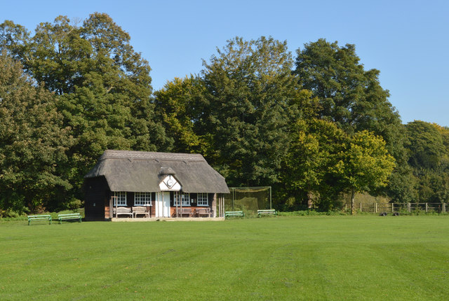
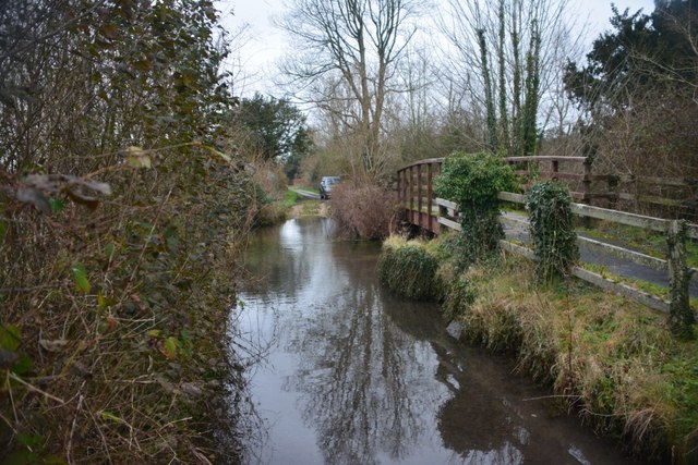
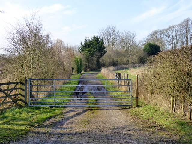
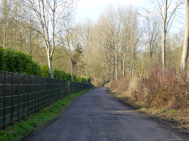
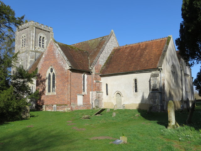
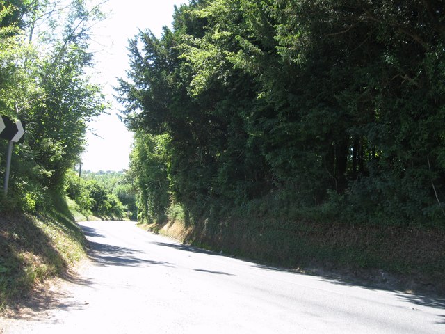
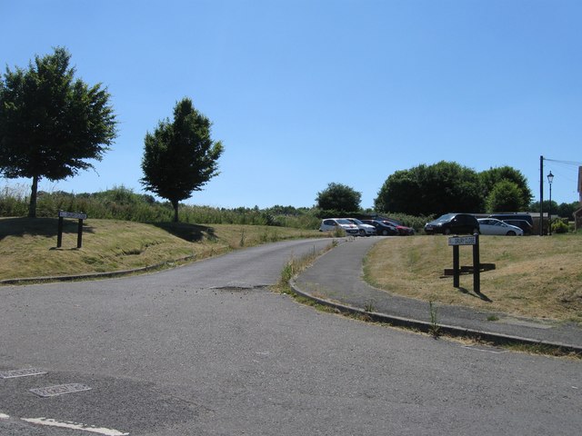
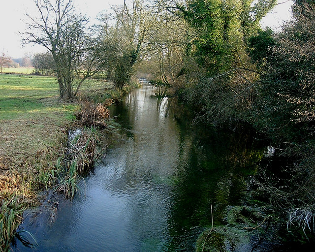
East Aston Common Images
Images are sourced within 2km of 51.200605/-1.3656569 or Grid Reference SU4444. Thanks to Geograph Open Source API. All images are credited.


East Aston Common is located at Grid Ref: SU4444 (Lat: 51.200605, Lng: -1.3656569)
Administrative County: Hampshire
District: Test Valley
Police Authority: Hampshire
What 3 Words
///acclaimed.regularly.searcher. Near Overton, Hampshire
Nearby Locations
Related Wikis

East Aston Common
East Aston Common is an 18.2-hectare (45-acre) biological Site of Special Scientific Interest east of Andover in Hampshire.This site in the flood plain...

Longparish
Longparish is a village and civil parish in Hampshire, England. It is composed of the five hamlets of Middleton, East Aston, West Aston ,Forton and Longparish...

Bourne Rivulet
The Bourne Rivulet is a river in the English county of Hampshire. It is a tributary of the River Test. The Bourne Rivulet (known as 'The Bourne' locally...

Hurstbourne Priors
Hurstbourne Priors is a small village and civil parish in the Basingstoke and Deane district of Hampshire, England. Its nearest town is Whitchurch, which...

Firgo
Firgo is a hamlet close to the town of Whitchurch, Hampshire, England. Firgo is unusual in that it is only accessible directly from a dual-carriageway...
Tufton Warren
Tufton Warren is a hamlet close to the town of Whitchurch, Hampshire, England. It is in the civil parish of Hurstbourne Priors. The nearest town close...
Bransbury
Bransbury is a hamlet in Hampshire, England, part of the parish of Barton Stacey. The nearest village is Barton Stacey (where the 2011 census was included...
Tufton, Hampshire
Tufton is a small village and former civil parish, now in the parish of Hurstbourne Priors, in the Basingstoke and Deane district, in the county of Hampshire...
Nearby Amenities
Located within 500m of 51.200605,-1.3656569Have you been to East Aston Common?
Leave your review of East Aston Common below (or comments, questions and feedback).