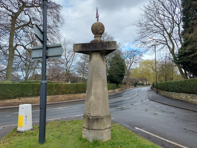
Ackworth Park
Downs, Moorland in Yorkshire
England
Ackworth Park
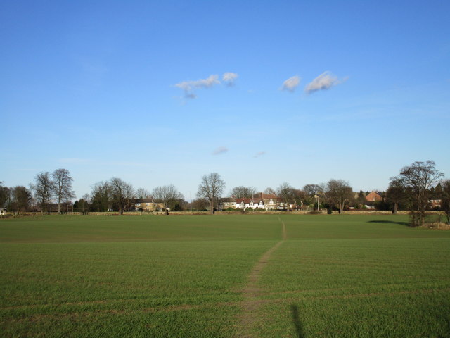
Ackworth Park is a picturesque and expansive park located in Yorkshire, England. Situated in the region known for its stunning landscapes, including the Downs and Moorland, this park offers visitors a unique experience in the heart of nature.
Covering an area of approximately 200 acres, Ackworth Park boasts a diverse range of flora and fauna, making it a haven for nature enthusiasts. The park is characterized by its rolling hills, lush meadows, and ancient woodlands, creating a serene and tranquil atmosphere. It is not uncommon to spot various wildlife species such as deer, rabbits, and a variety of birds within the park's boundaries.
Visitors to Ackworth Park can enjoy a range of activities suitable for all ages and interests. The park offers numerous walking trails, allowing visitors to explore the stunning landscapes and take in the breathtaking views. There are also designated picnic areas, perfect for enjoying a leisurely lunch amidst the natural beauty of the park.
For those seeking more adventurous activities, the park provides opportunities for cycling, horse riding, and even orienteering. Additionally, the park features a children's play area, providing a safe and enjoyable space for younger visitors to burn off some energy.
Ackworth Park is well-maintained and easily accessible, with ample parking available for visitors. The park also boasts excellent facilities, including clean and well-maintained public restrooms.
Overall, Ackworth Park offers a tranquil retreat for nature lovers and outdoor enthusiasts alike. With its stunning landscapes, diverse wildlife, and various recreational activities, it is a must-visit destination for anyone seeking a peaceful and immersive experience in Yorkshire's Downs and Moorland region.
If you have any feedback on the listing, please let us know in the comments section below.
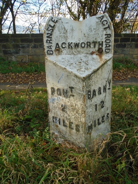
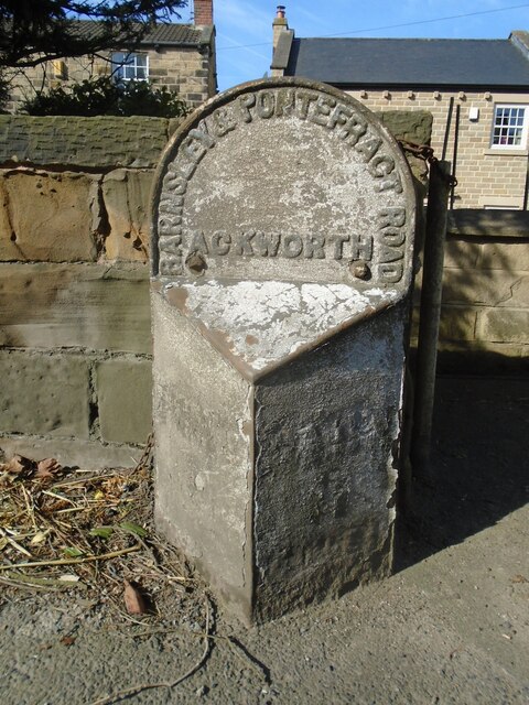
Ackworth Park Images
Images are sourced within 2km of 53.66142/-1.3352257 or Grid Reference SE4418. Thanks to Geograph Open Source API. All images are credited.


Ackworth Park is located at Grid Ref: SE4418 (Lat: 53.66142, Lng: -1.3352257)
Division: West Riding
Unitary Authority: Wakefield
Police Authority: West Yorkshire
What 3 Words
///increases.logic.tiredness. Near Low Ackworth, West Yorkshire
Nearby Locations
Related Wikis

Hessle and Hill Top
Hessle and Hill Top is a civil parish in the City of Wakefield district of West Yorkshire, England. Scattered settlement in the rural parish includes the...

Ackworth School
Ackworth School is an independent day and boarding school located in the village of High Ackworth, near Pontefract, West Yorkshire, England. It is one...
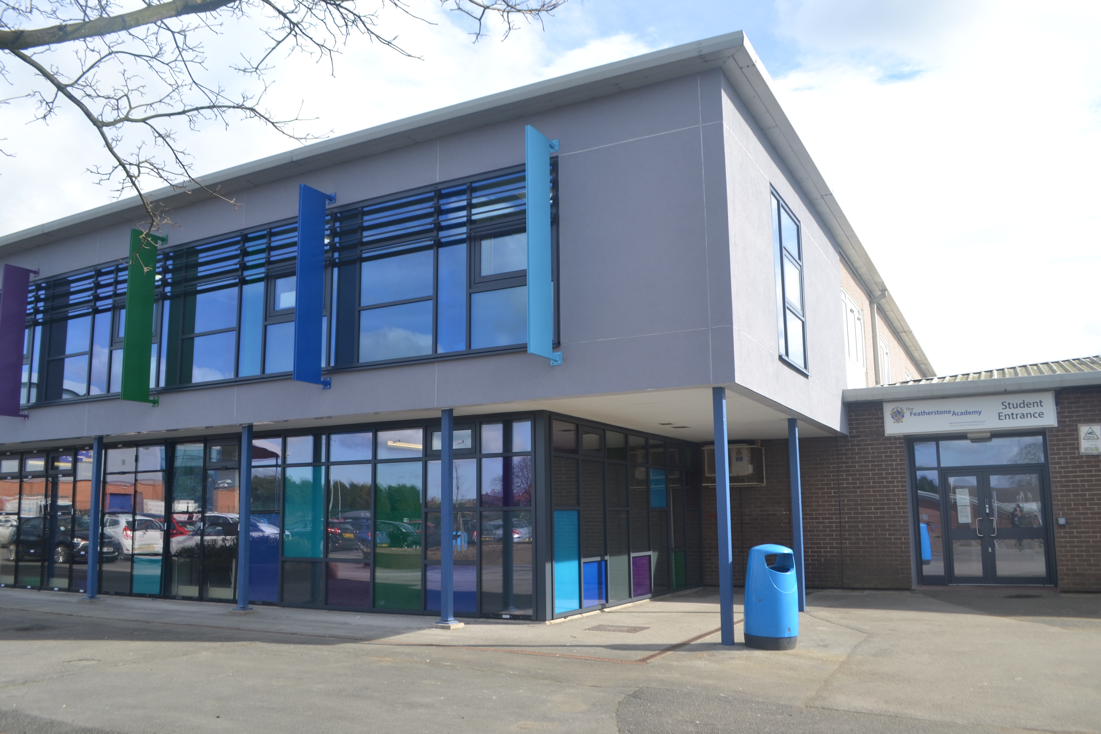
The Featherstone Academy
The Featherstone Academy is a coeducational secondary school with academy status located in Featherstone in the English county of West Yorkshire.Formerly...

Ackworth railway station
Ackworth railway station was a railway station serving Ackworth in the English county of West Yorkshire. == History == The station was opened by the Swinton...
Nearby Amenities
Located within 500m of 53.66142,-1.3352257Have you been to Ackworth Park?
Leave your review of Ackworth Park below (or comments, questions and feedback).