Havant
Settlement in Hampshire Havant
England
Havant
Havant is a town located in the county of Hampshire, England. Situated between the cities of Portsmouth and Chichester, it lies on the coast of the English Channel. With a population of around 45,000, Havant is a vibrant and bustling town that offers a mix of historical charm and modern amenities.
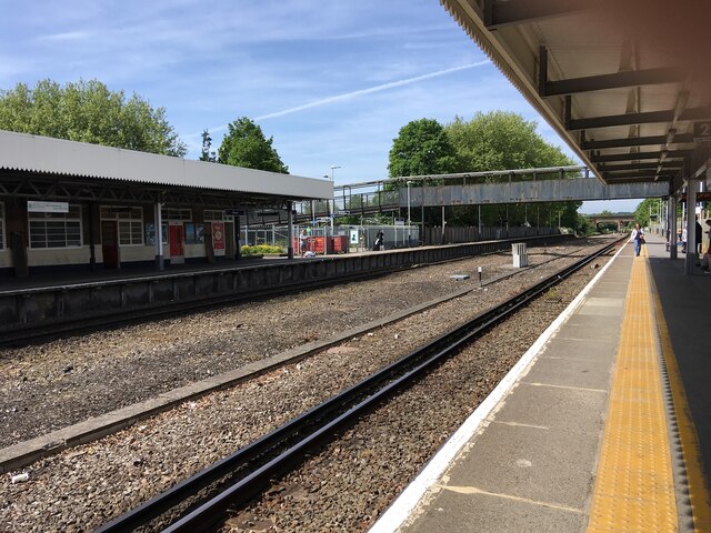
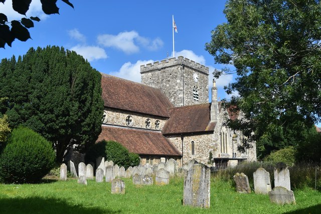
One of the notable features of Havant is its rich history. The town has a long-standing connection to the railways, with Havant Railway Station serving as a major transportation hub in the region. Additionally, Havant is home to several historic buildings, including St. Faith's Church, which dates back to the 12th century.
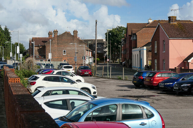
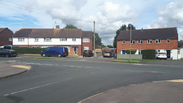
In terms of amenities, Havant has a variety of shops, restaurants, and leisure facilities to cater to the needs of its residents and visitors. The town center offers a range of retail options, from high street chains to independent boutiques, while the Meridian Shopping Centre provides a convenient shopping experience.
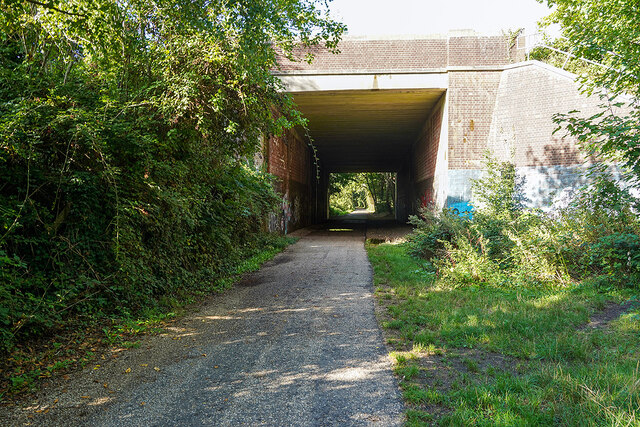
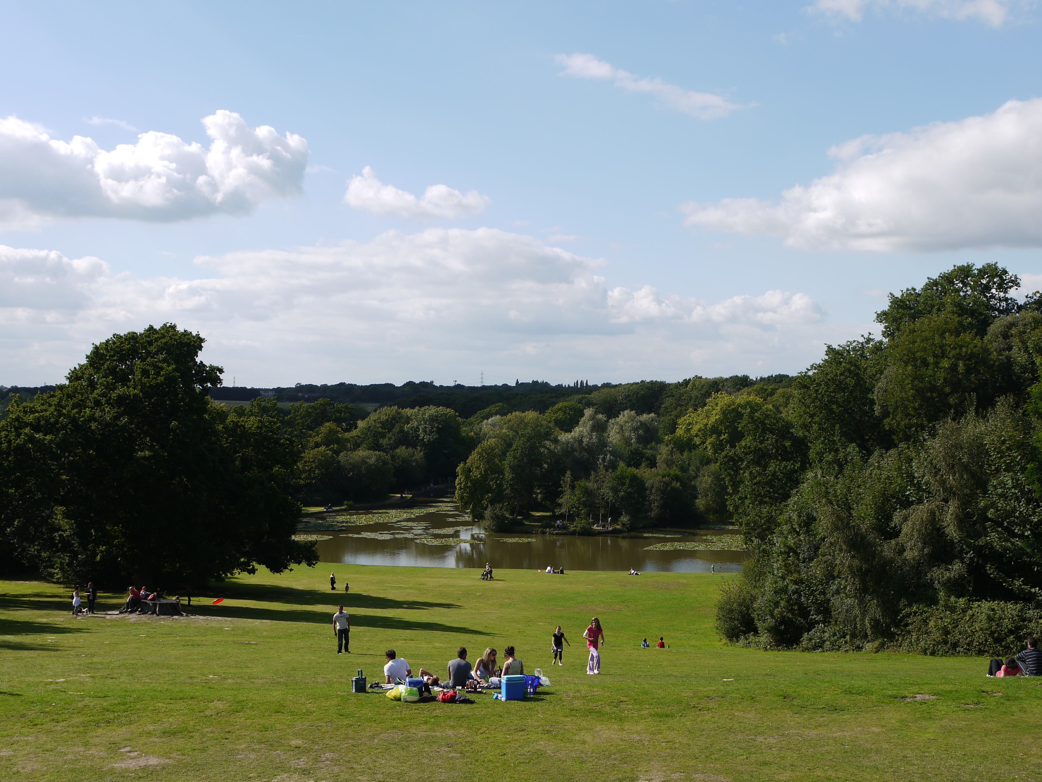
Nature enthusiasts can also enjoy the beauty of Havant's surrounding areas. The town is located near the picturesque South Downs National Park, offering stunning landscapes and opportunities for outdoor activities such as hiking and cycling. Additionally, Havant is close to the coast, allowing residents and visitors to enjoy coastal walks and water-based activities.
Transportation in Havant is well-connected, with regular train services to nearby cities and towns, as well as good road links to major routes such as the A27 and the M27 motorway.
Overall, Havant is a vibrant town that combines history, natural beauty, and modern amenities, making it an attractive place to live or visit in Hampshire.
If you have any feedback on the listing, please let us know in the comments section below.
Havant Images
Images are sourced within 2km of 50.861202/-0.987587 or Grid Reference SU7107. Thanks to Geograph Open Source API. All images are credited.


Havant is located at Grid Ref: SU7107 (Lat: 50.861202, Lng: -0.987587)
Administrative County: Hampshire
District: Havant
Police Authority: Hampshire
What 3 Words
///crowds.author.either. Near Havant, Hampshire
Nearby Locations
Related Wikis
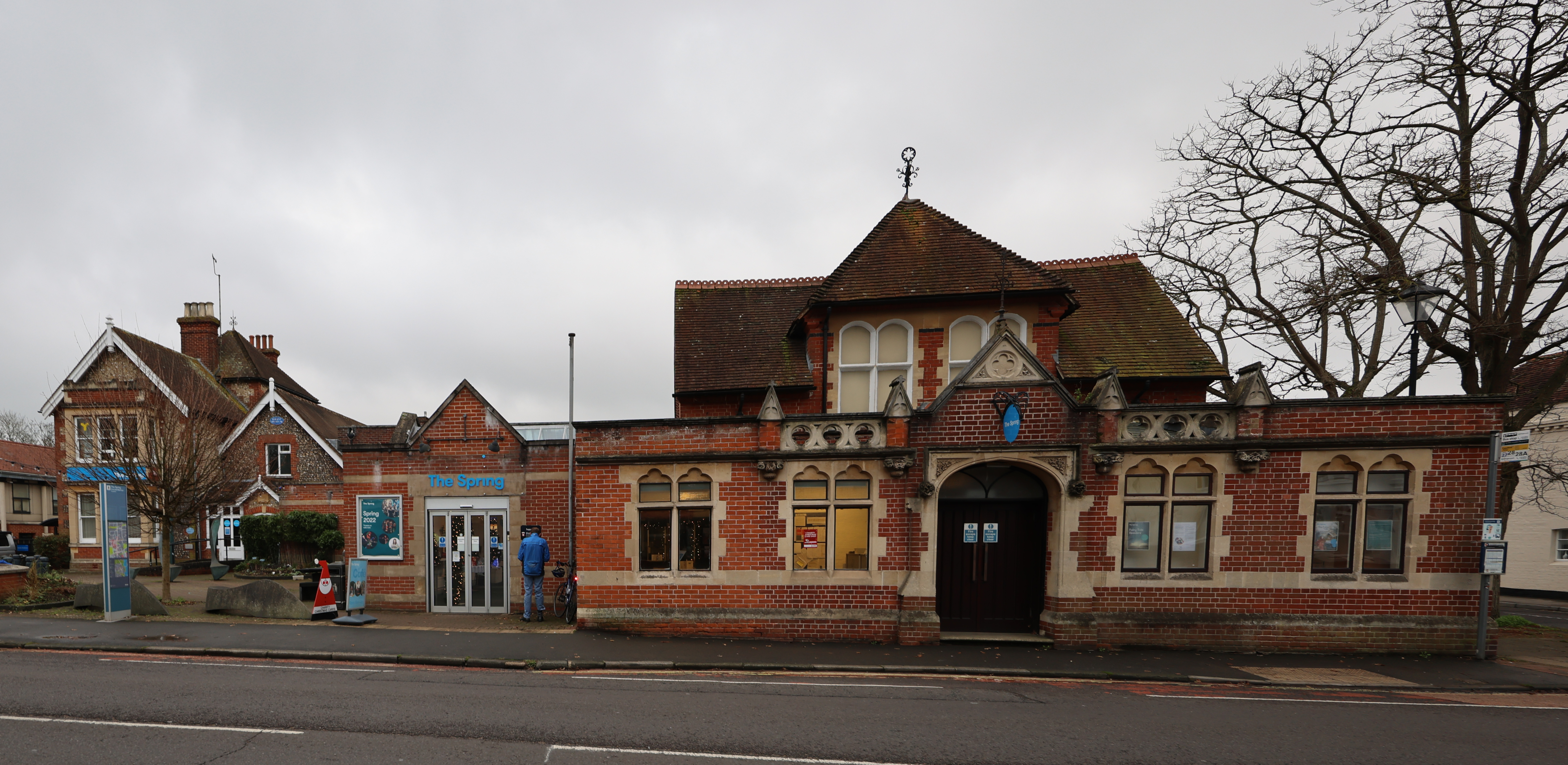
The Spring Arts & Heritage Centre
The Spring Arts & Heritage Centre (known as the Havant Arts Centre until 2009) is an arts centre in Havant, Hampshire, England. The main building was completed...
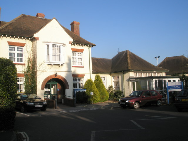
Havant War Memorial Hospital
Havant War Memorial Hospital was a health facility in Crossway in Havant, Hampshire, England. It was managed by Southern Health NHS Foundation Trust....
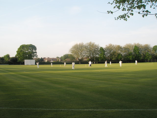
Havant Cricket Club
Havant Cricket Club is an amateur cricket club based at Havant, Hampshire. The club's first team plays in the Southern Premier Cricket League, which is...
Leigh Park
Leigh Park is a large suburb (population 27,500) of Havant, in Hampshire, England. It currently forms the bulk or whole of four electoral wards: Battins...

Havant railway station
Havant railway station is a railway station in Havant, Hampshire, near Portsmouth, located on the Portsmouth Direct Line which runs between London Waterloo...

Bedhampton railway station
Bedhampton railway station serves the former village of Bedhampton, now a suburb lying a mile west of the centre of Havant, in Hampshire, England. ��2...

Havant
Havant ( HAV-ənt) is a town in the south-east corner of Hampshire, England between Portsmouth and Chichester. Its borough (population: 125,000) comprises...

Portsmouth F.C. Reserves and Academy
Portsmouth F.C. XI and Academy consist of the reserve and academy footballers of Portsmouth F.C. == Portsmouth XI == Previously called Portsmouth Reserves...
Nearby Amenities
Located within 500m of 50.861202,-0.987587Have you been to Havant?
Leave your review of Havant below (or comments, questions and feedback).