Myton Pasture

Downs, Moorland in Yorkshire Hambleton

England

Myton Pasture

River Ure at Aldborough
River Ure at Aldborough Credit: Sandy Gerrard

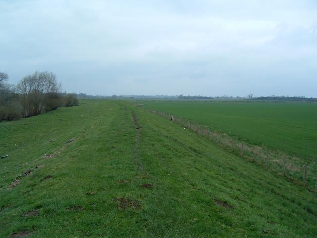
Myton Pasture is a picturesque area located in Yorkshire, England. Nestled amidst the beautiful Yorkshire Downs, this vast expanse of land stretches across rolling hills and moorland, captivating visitors with its natural charm. With an approximate area of 500 acres, Myton Pasture offers ample space for outdoor activities and leisurely walks.

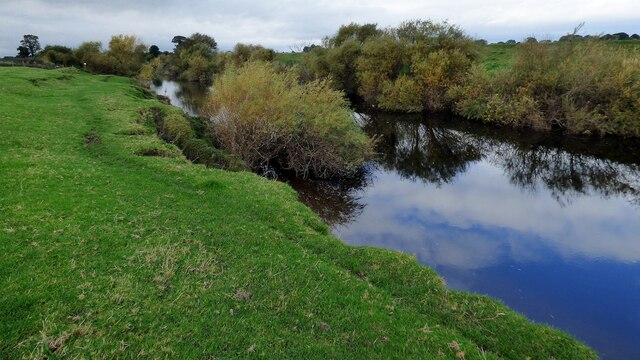
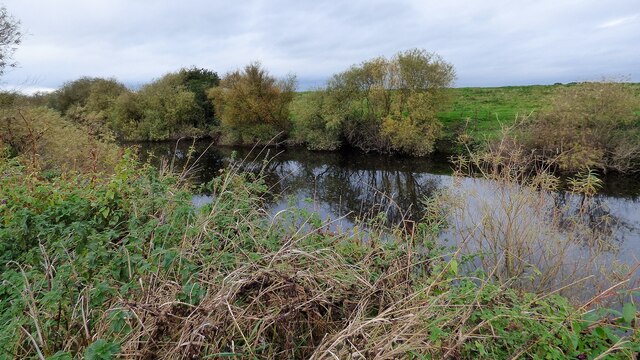
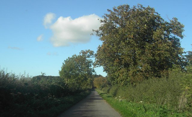
The landscape of Myton Pasture is a unique blend of rugged moorland and lush green meadows. The moorland is characterized by its heather-covered hills, offering a striking contrast against the clear blue skies. This area is particularly popular among hikers and nature enthusiasts, who enjoy the challenge of exploring the undulating terrain.

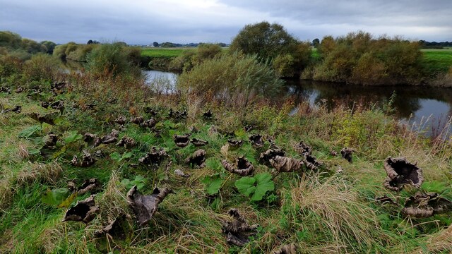
The pastures of Myton are abundant with various species of flora and fauna. The meadows are adorned with wildflowers, providing a vibrant and picturesque setting. Visitors may catch a glimpse of grazing sheep, horses, or other livestock that graze on the rich grasses.

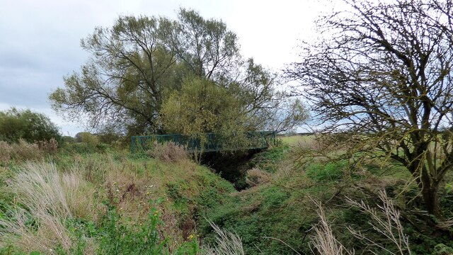
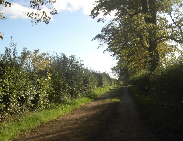
The tranquility of Myton Pasture is enhanced by the absence of any major roads or urban developments. This makes it an ideal location for those seeking peace and solitude. The unspoiled beauty of the area attracts photographers and artists, who find inspiration in the stunning vistas and ever-changing colors of the seasons.

Myton Pasture is easily accessible, with footpaths and trails crisscrossing the landscape, allowing visitors to explore its natural wonders. Whether it's a leisurely stroll, a challenging hike, or a simple desire to connect with nature, Myton Pasture offers an idyllic setting for all.

If you have any feedback on the listing, please let us know in the comments section below.

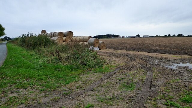
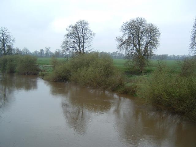
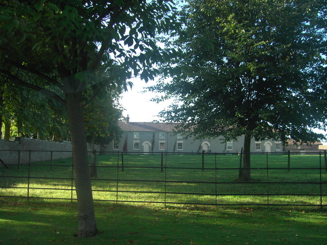
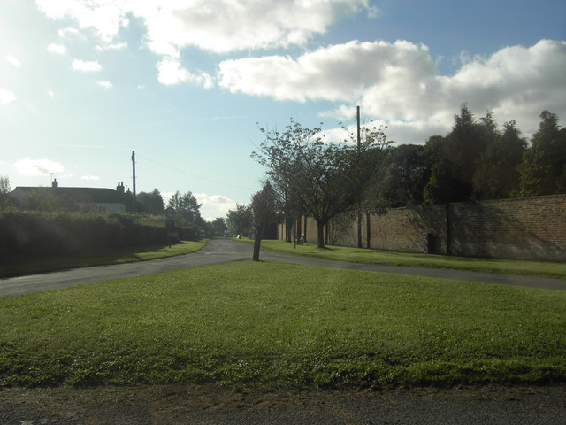
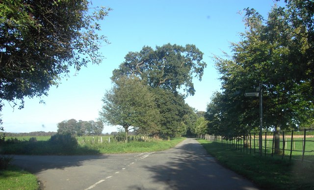
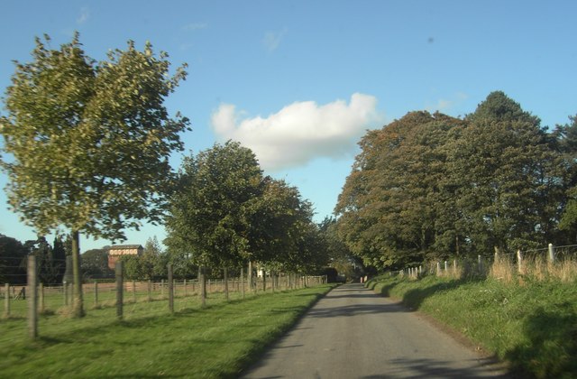
Myton Pasture Images

Images are sourced within 2km of 54.096813/-1.3410081 or Grid Reference SE4366. Thanks to Geograph Open Source API. All images are credited.

River Ure at Aldborough
River Ure at Low Close Farm
Footbridge over Holbecks Drain This bridge came as a bit of a surprise after the one before which consisted of a rotten plank resting on the silt.
Footbridge over Holbecks Drain
This bridge came as a bit of a surprise after the one before which consisted of a rotten plank resting on the silt.
River Ure at Lower Dunsforth
Straw Bales at Low House Farm
Myton on Swale View West from the Restored Bridge over the Swale showing Battlefield in distance.
Myton on Swale
View West from the Restored Bridge over the Swale showing Battlefield in distance.
Ellenthorpe Ings Swale Riverbank looking towards confluence with the Ure
Ellenthorpe Ings
Swale Riverbank looking towards confluence with the Ure
Brickyard Lane Brickyard Lane, near Myton-on-Swale.
Brickyard Lane
Brickyard Lane, near Myton-on-Swale.
Myton Hall Viewed from Hall Lane of the buildings attached to Myton Hall.
Myton Hall
Viewed from Hall Lane of the buildings attached to Myton Hall.
Myton-on-Swale View of Myton-on-Swale from the junction of Hall Lane and Moor Lane.
Myton-on-Swale
View of Myton-on-Swale from the junction of Hall Lane and Moor Lane.
Hall Lane Junction Hall Lane Junction with Helperby and Myton Lane.
Hall Lane Junction
Hall Lane Junction with Helperby and Myton Lane.
Helperby & Myton Lane Helperby & Myton Lane looking towards Myton Grange.
Helperby & Myton Lane
Helperby & Myton Lane looking towards Myton Grange.
Helperby & Myton Lane Helperby & Myton Lane near The Carrs and looking towards Myton Far End Plantation.
Helperby & Myton Lane
Helperby & Myton Lane near The Carrs and looking towards Myton Far End Plantation.
Lane to Clott House Farm A quiet corner of North Yorkshire close to the confluence of the rivers Swale and Ure.
Lane to Clott House Farm
A quiet corner of North Yorkshire close to the confluence of the rivers Swale and Ure.
The Ure near Lower Dunsforth A quiet stretch of the Ure with Myton Ings across the water and the hambleton Hills in the distance.
The Ure near Lower Dunsforth
A quiet stretch of the Ure with Myton Ings across the water and the hambleton Hills in the distance.
River Ure near Lower Dunsforth A winter view of the Ure, less than a mile below its confluence with the Swale.
River Ure near Lower Dunsforth
A winter view of the Ure, less than a mile below its confluence with the Swale.
Low House Farm Aldborough A large farm seen across a huge arable field.
Low House Farm Aldborough
A large farm seen across a huge arable field.
The Ure near Aldborough A quiet winter's day by the Ure, but only 3 weeks previously, floodwater had reached almost to the top of the flood bank behind the sheep.
The Ure near Aldborough
A quiet winter's day by the Ure, but only 3 weeks previously, floodwater had reached almost to the top of the flood bank behind the sheep.
Show me another place!

Myton Pasture is located at Grid Ref: SE4366 (Lat: 54.096813, Lng: -1.3410081)

Division: North Riding

Administrative County: North Yorkshire

District: Hambleton

Police Authority: North Yorkshire

What 3 Words

///delays.dreamer.revolts. Near Boroughbridge, North Yorkshire

Nearby Locations

Old Hall Myton Pasture

Related Wikis

Battle of Myton

The Battle of Myton, nicknamed the Chapter of Myton or The White Battle because of the number of clergy involved, was a major engagement in the First Scottish...
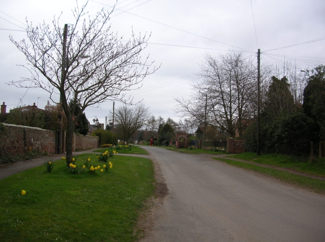
Myton-on-Swale

Myton-on-Swale is a village and civil parish in North Yorkshire, England. It is about 3 miles (5 kilometres) east of Boroughbridge and on the River Swale...
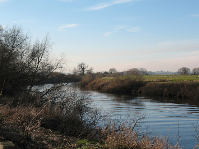
River Swale

The River Swale in Yorkshire, England, is a major tributary of the River Ure, which becomes the River Ouse, that empties into the North Sea via the Humber...

Ellenthorpe

Ellenthorpe is a civil parish in the Borough of Harrogate of North Yorkshire, England. In 2001, the civil parish had 34 inhabitants. It was mentioned in...

Nearby Amenities

Located within 500m of 54.096813,-1.3410081
Barrier: stile
Stile: squeezer
Lat/Long: 54.0950868/-1.3349868
Red Blood White Battle
Description: Battle of Myton
Information: board
Tourism: information
Lat/Long: 54.0950102/-1.3349581
Bench
Lat/Long: 54.0949741/-1.3349902
Information: route_marker
Tourism: information
Lat/Long: 54.0951393/-1.3349932
Information: route_marker
Tourism: information
Lat/Long: 54.0944219/-1.3347783
One River to Cross
Information: board
Tourism: information
Lat/Long: 54.0944581/-1.3347918
Barrier: horse_stile
Lat/Long: 54.0970834/-1.3354873
Information: route_marker
Tourism: information
Lat/Long: 54.0970464/-1.3354959
Information: route_marker
Tourism: information
Lat/Long: 54.0971352/-1.3458384
Information: route_marker
Tourism: information
Lat/Long: 54.0927451/-1.3429579
The data included in this document is from www.openstreetmap.org. The data is made available under ODbL.

Have you been to Myton Pasture?

Leave your review of Myton Pasture below (or comments, questions and feedback).